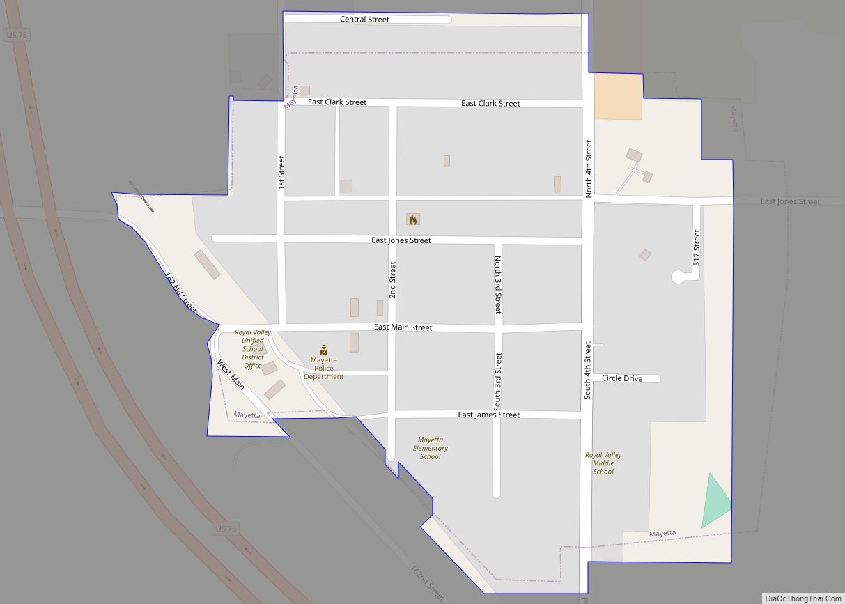
Mayetta is a city in Jackson County, Kansas, United States. As of the 2020 census, the population of the city was 348. Mayetta city overview: Name: Mayetta city LSAD Code: 25 LSAD Description: city (suffix) State: Kansas County: Jackson County Elevation: 1,194 ft (364 m) Total Area: 0.17 sq mi (0.44 km²) Land Area: 0.17 sq mi (0.44 km²) Water Area: 0.00 sq mi (0.00 km²) ... Read more
Kansas Cities and Places
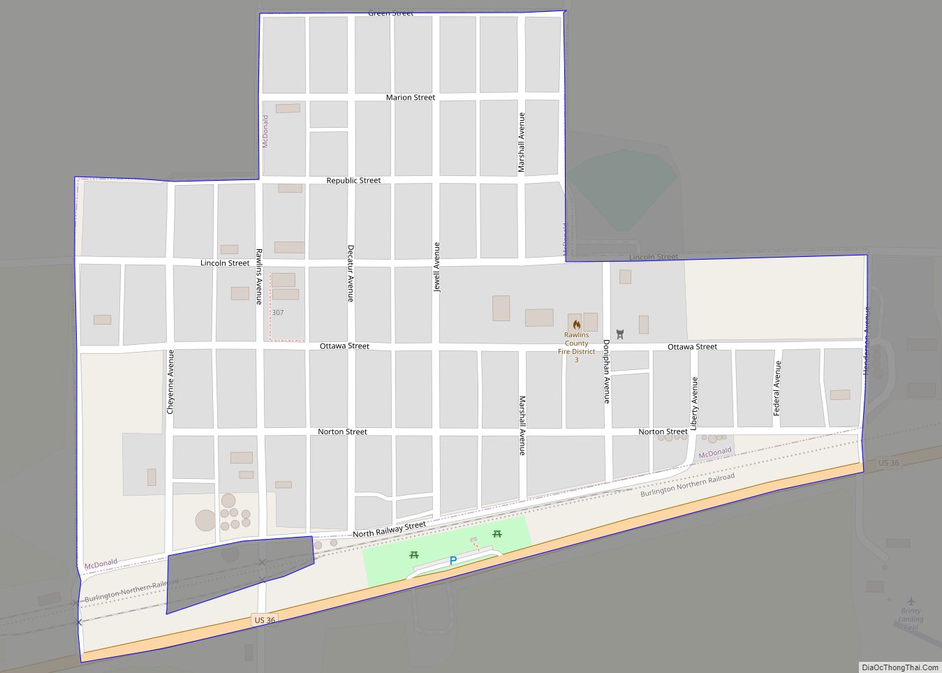
McDonald is a city in Rawlins County, Kansas, United States. As of the 2020 census, the population of the city was 113. McDonald city overview: Name: McDonald city LSAD Code: 25 LSAD Description: city (suffix) State: Kansas County: Rawlins County Founded: 1880s Incorporated: 1919 Elevation: 3,363 ft (1,025 m) Total Area: 0.22 sq mi (0.57 km²) Land Area: 0.22 sq mi (0.57 km²) ... Read more
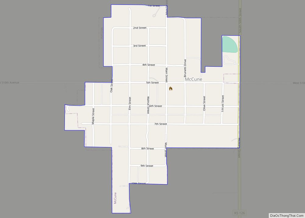
McCune is a city in Crawford County, Kansas, United States. As of the 2020 census, the population of the city was 370. McCune city overview: Name: McCune city LSAD Code: 25 LSAD Description: city (suffix) State: Kansas County: Crawford County Founded: 1878 Incorporated: 1881 Elevation: 912 ft (278 m) Total Area: 0.32 sq mi (0.82 km²) Land Area: 0.32 sq mi (0.82 km²) ... Read more
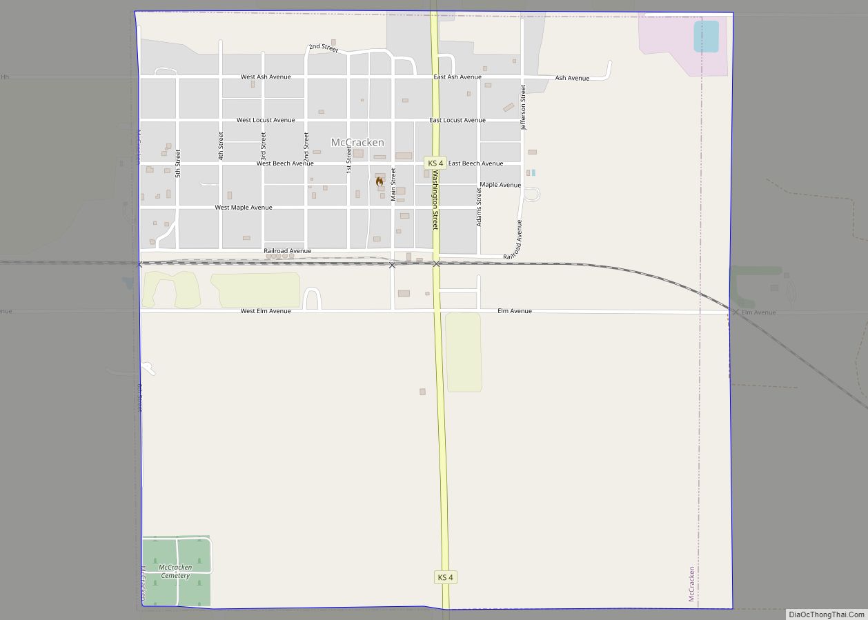
McCracken is a city in Rush County, Kansas, United States. As of the 2020 census, the population of the city was 152. McCracken city overview: Name: McCracken city LSAD Code: 25 LSAD Description: city (suffix) State: Kansas County: Rush County Founded: 1886 Incorporated: 1887 Elevation: 2,142 ft (653 m) Total Area: 1.00 sq mi (2.58 km²) Land Area: 1.00 sq mi (2.58 km²) ... Read more
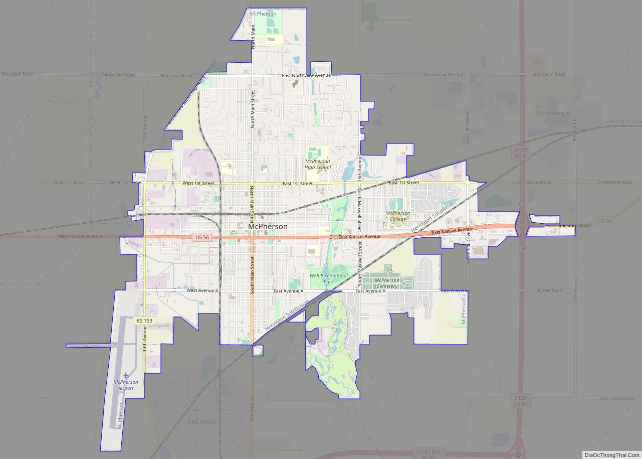
McPherson ( /məkˈfɜːrsən/) is a city in and the county seat of McPherson County, Kansas, United States. As of the 2020 census, the population of the city was 14,082. The city is named after Union General James Birdseye McPherson, a Civil War general. It is home to McPherson College and Central Christian College. McPherson city ... Read more
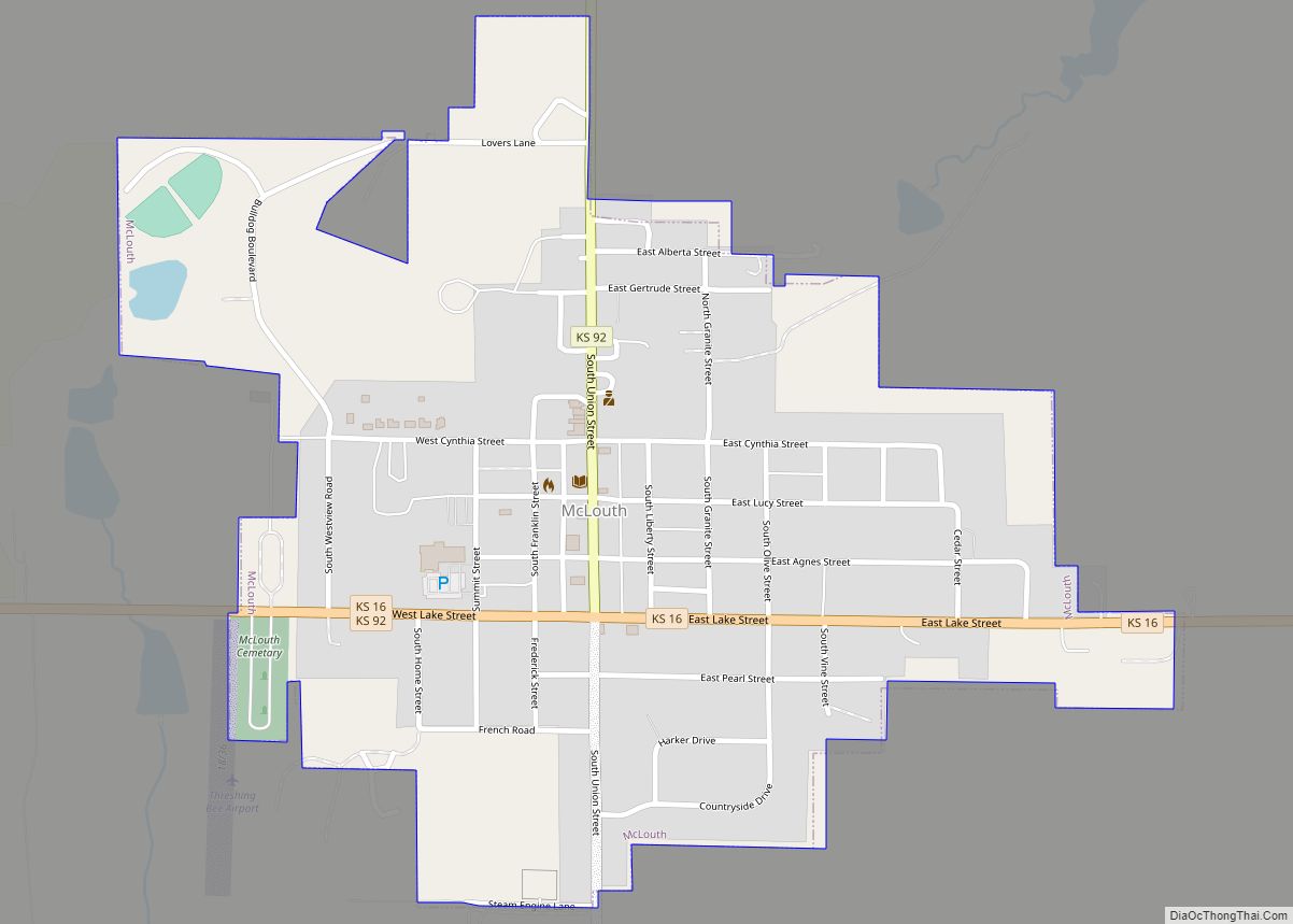
McLouth is a city in Jefferson County, Kansas, United States. As of the 2020 census, the population of the city was 859. McLouth city overview: Name: McLouth city LSAD Code: 25 LSAD Description: city (suffix) State: Kansas County: Jefferson County Incorporated: 1881 Elevation: 1,171 ft (357 m) Total Area: 0.58 sq mi (1.50 km²) Land Area: 0.58 sq mi (1.49 km²) Water Area: ... Read more
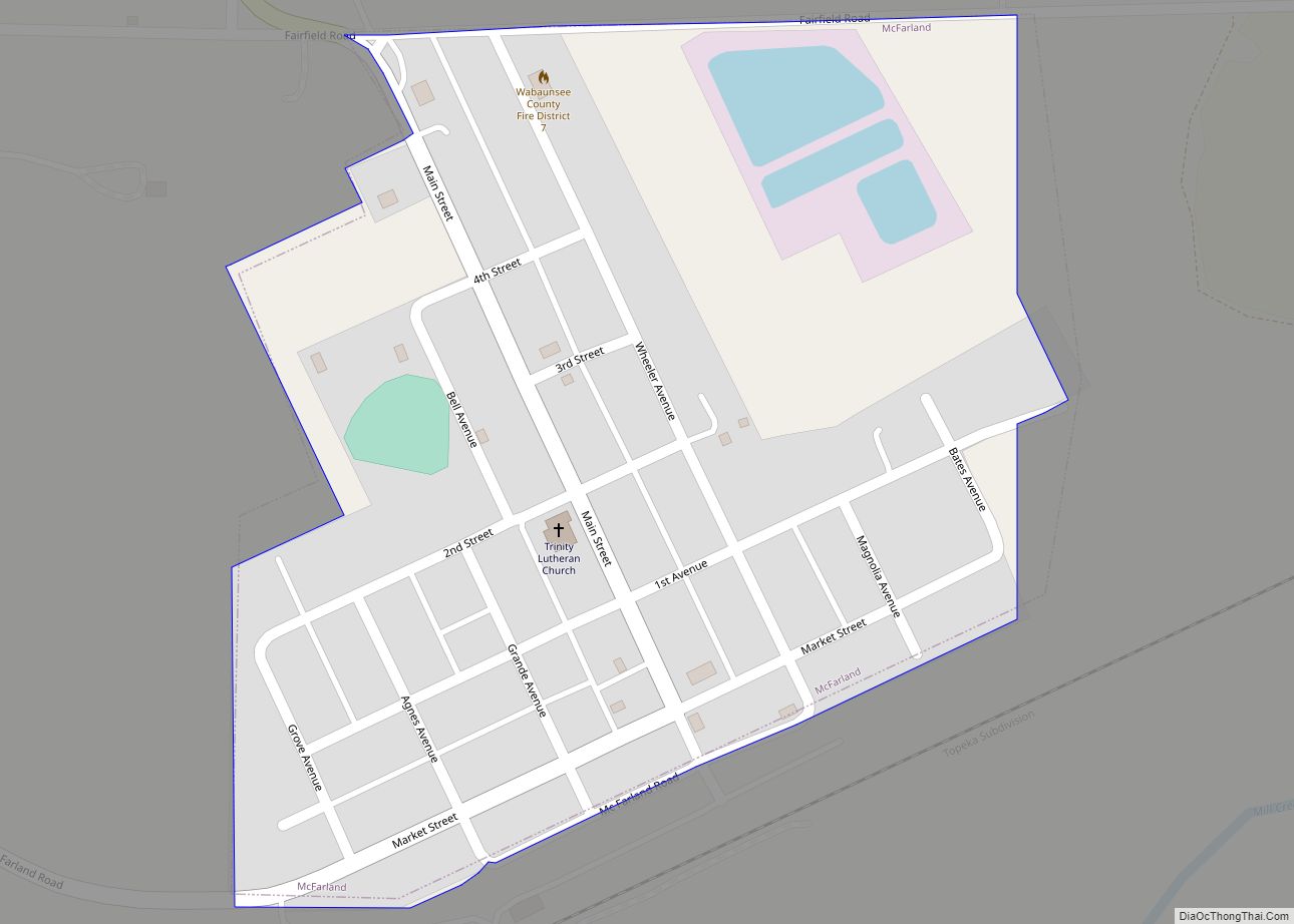
McFarland is a city in Wabaunsee County, Kansas, United States. As of the 2020 census, the population of the city was 272. McFarland city overview: Name: McFarland city LSAD Code: 25 LSAD Description: city (suffix) State: Kansas County: Wabaunsee County Founded: 1887 Incorporated: 1903 Elevation: 1,020 ft (310 m) Total Area: 0.19 sq mi (0.48 km²) Land Area: 0.18 sq mi (0.46 km²) ... Read more
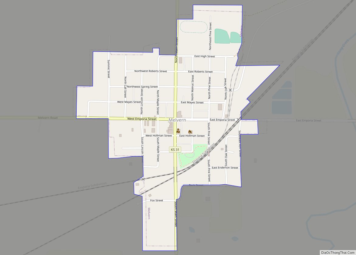
Melvern is a city in Osage County, Kansas, United States, along the Marais des Cygnes River. As of the 2020 census, the population of the city was 356. Melvern city overview: Name: Melvern city LSAD Code: 25 LSAD Description: city (suffix) State: Kansas County: Osage County Founded: 1870 Incorporated: 1883 Elevation: 1,017 ft (310 m) Total Area: ... Read more
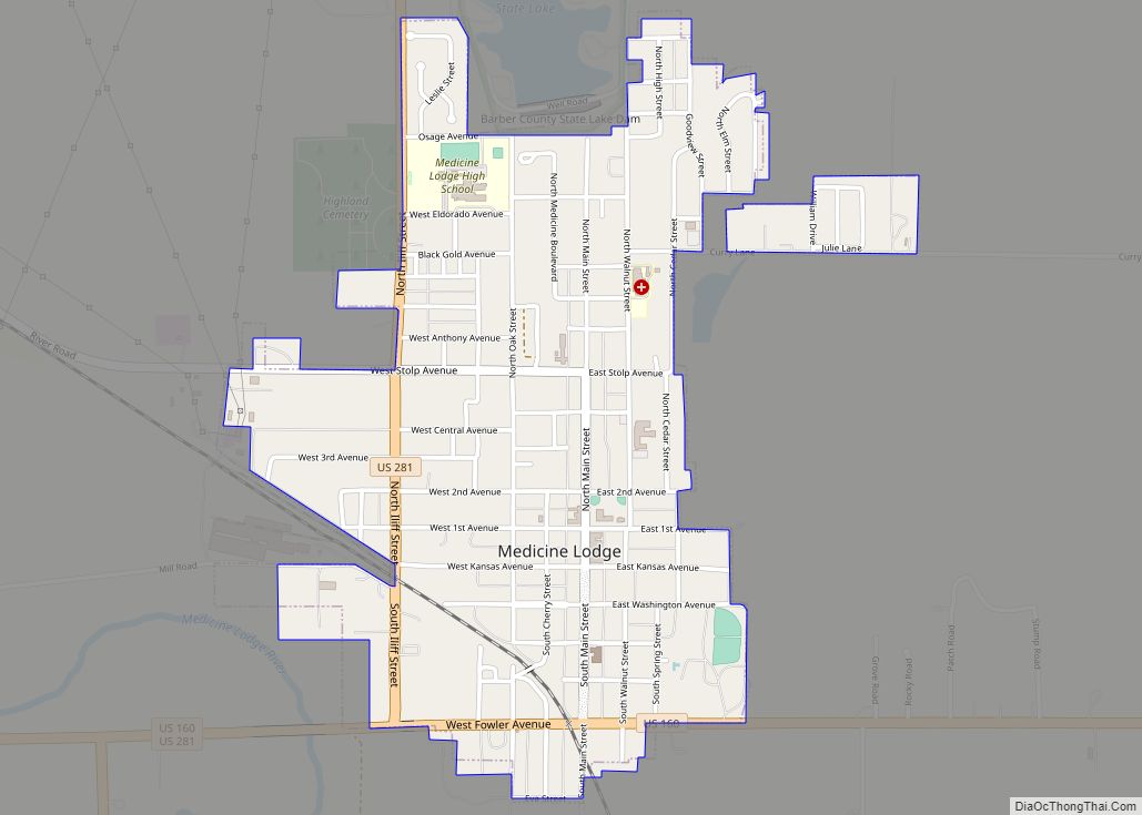
Medicine Lodge is a city in and the county seat of Barber County, Kansas, United States. As of the 2020 census, the population of the city was 1,781. Medicine Lodge city overview: Name: Medicine Lodge city LSAD Code: 25 LSAD Description: city (suffix) State: Kansas County: Barber County Founded: 1873 Incorporated: 1879 Elevation: 1,499 ft (457 m) ... Read more
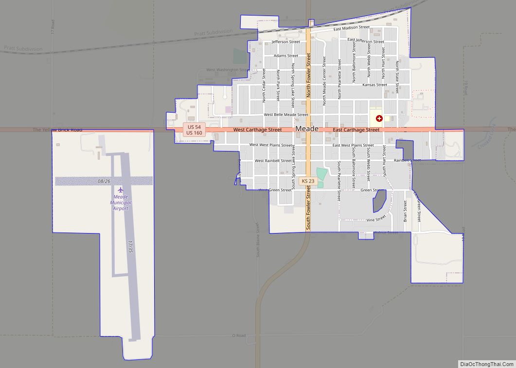
Meade is a city in and the county seat of Meade County, Kansas, United States. As of the 2020 census, the population of the city was 1,505. Meade city overview: Name: Meade city LSAD Code: 25 LSAD Description: city (suffix) State: Kansas County: Meade County Founded: 1880s Incorporated: 1885 Elevation: 2,497 ft (761 m) Total Area: 1.46 sq mi ... Read more
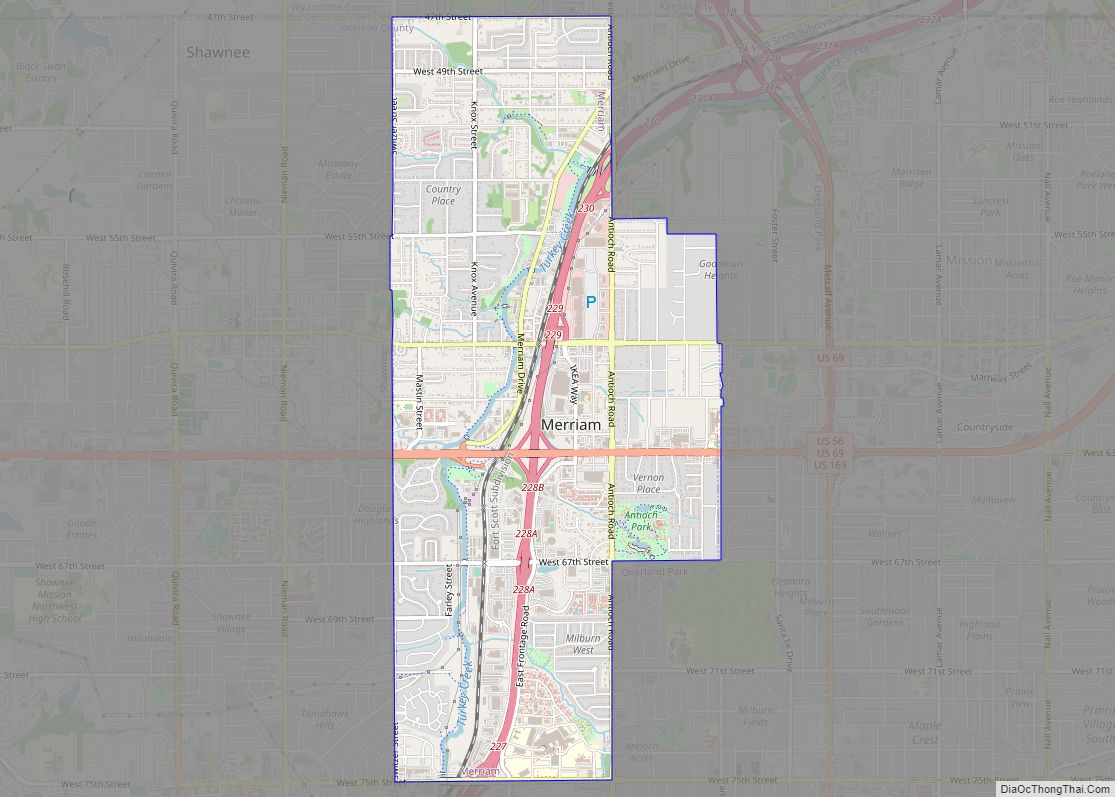
Merriam /ˈmɛriəm/ is a city in Johnson County, Kansas, United States, and part of the Kansas City Metropolitan Area. As of the 2020 census, the population of the city was 11,098. Merriam is included in the Shawnee Mission postal designation. It is also the headquarters of Seaboard Corporation. Merriam city overview: Name: Merriam city LSAD ... Read more
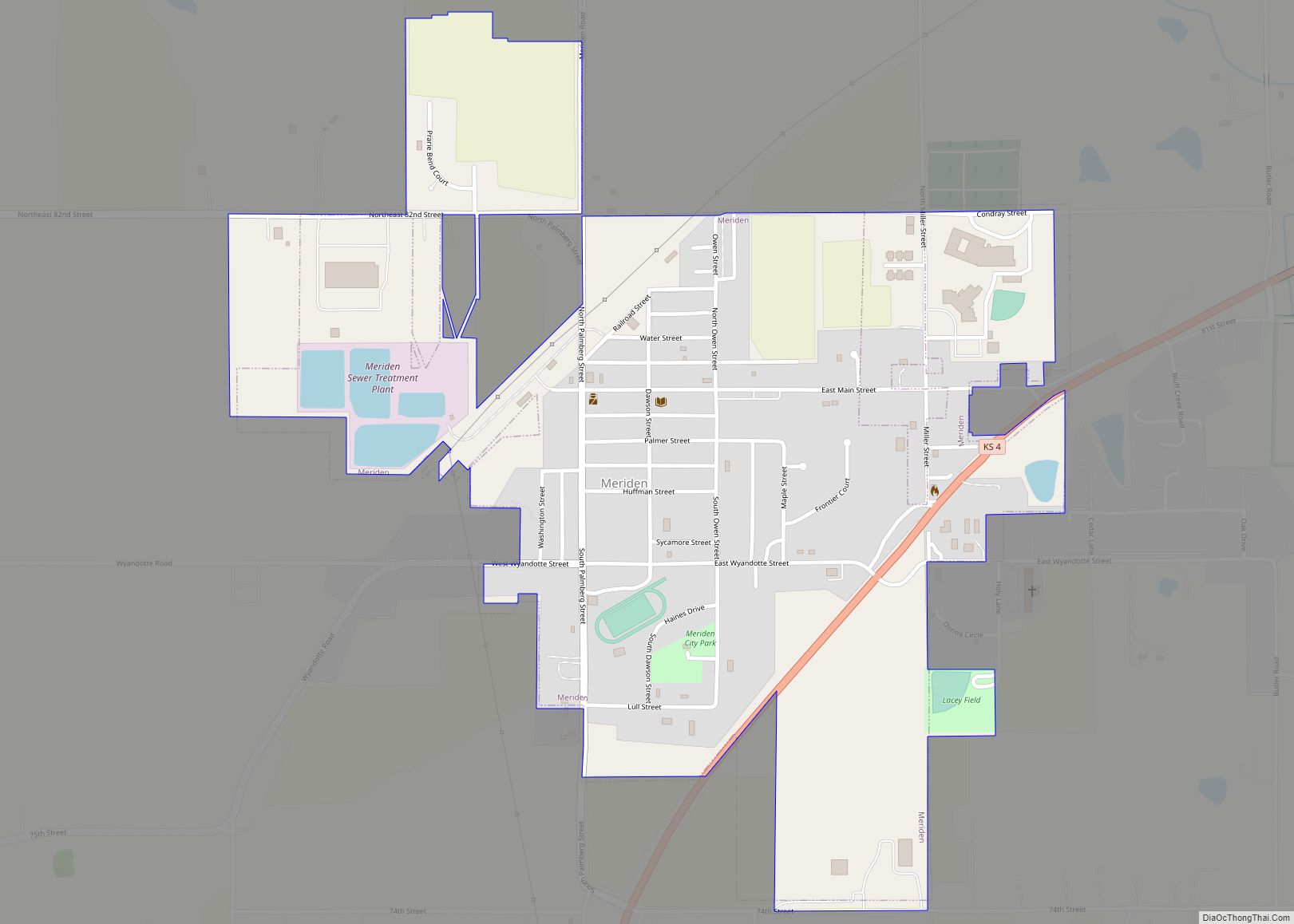
Meriden is a city in Jefferson County, Kansas, United States. As of the 2020 census, the population of the city was 744. Meriden city overview: Name: Meriden city LSAD Code: 25 LSAD Description: city (suffix) State: Kansas County: Jefferson County Founded: 1872 Incorporated: 1891 Elevation: 974 ft (297 m) Total Area: 0.77 sq mi (1.98 km²) Land Area: 0.76 sq mi (1.96 km²) ... Read more
