Merriam /ˈmɛriəm/ is a city in Johnson County, Kansas, United States, and part of the Kansas City Metropolitan Area. As of the 2020 census, the population of the city was 11,098. Merriam is included in the Shawnee Mission postal designation. It is also the headquarters of Seaboard Corporation.
| Name: | Merriam city |
|---|---|
| LSAD Code: | 25 |
| LSAD Description: | city (suffix) |
| State: | Kansas |
| County: | Johnson County |
| Incorporated: | 1950 |
| Elevation: | 909 ft (277 m) |
| Total Area: | 4.32 sq mi (11.19 km²) |
| Land Area: | 4.32 sq mi (11.18 km²) |
| Water Area: | 0.00 sq mi (0.01 km²) |
| Total Population: | 11,098 |
| Population Density: | 2,600/sq mi (990/km²) |
| ZIP code: | 66202-66204 |
| Area code: | 913 |
| FIPS code: | 2046000 |
| Website: | merriam.org |
Online Interactive Map
Click on ![]() to view map in "full screen" mode.
to view map in "full screen" mode.
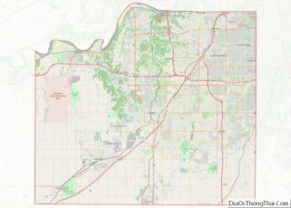
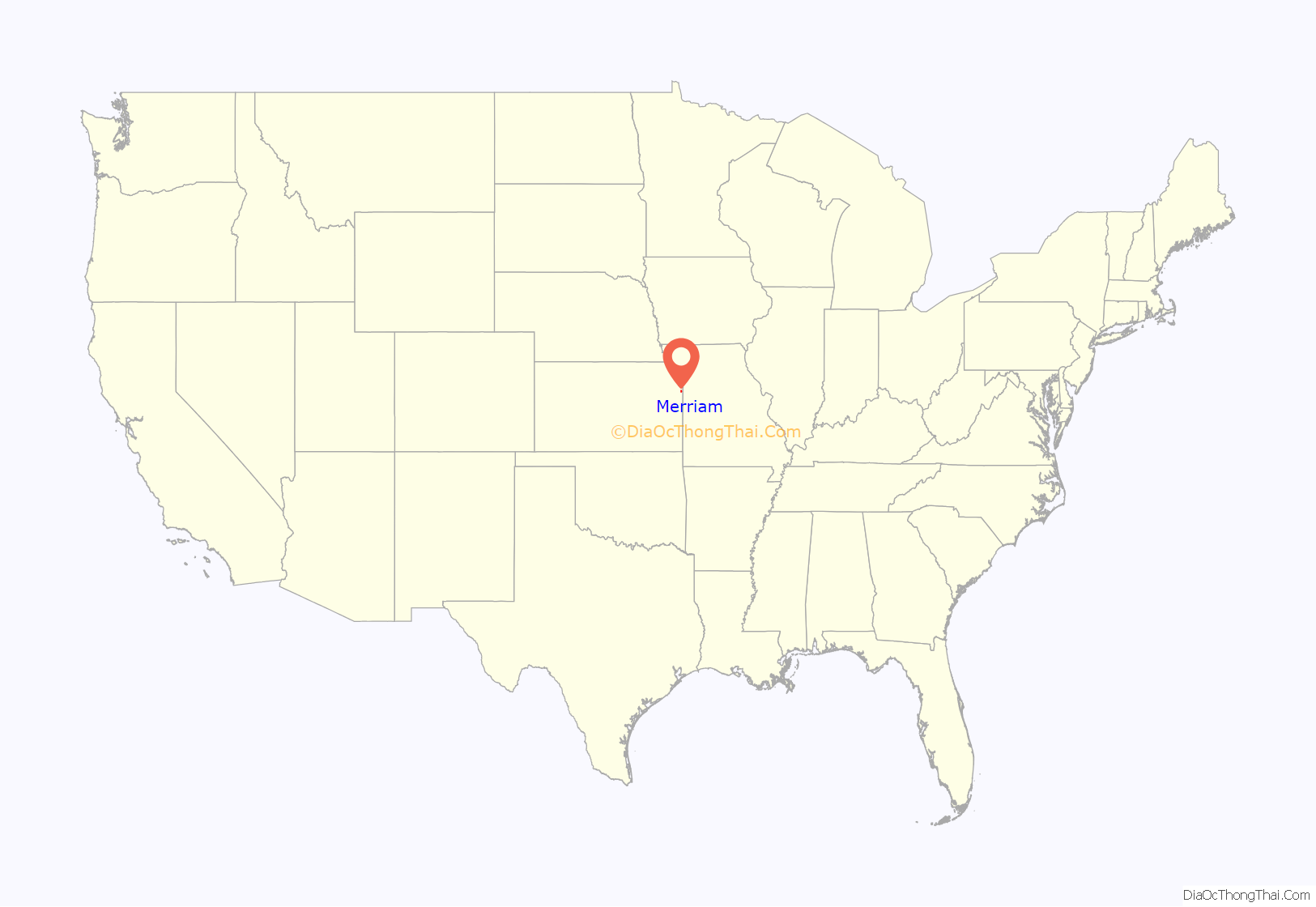
Merriam location map. Where is Merriam city?

History
Merriam was incorporated as a third class city on October 28, 1950, and established second class city status on January 18, 1957.
The city was named in honor of Charles Merriam, a one-time secretary/treasurer of the then Kansas City, Fort Scott and Gulf railroad (later the St. Louis–San Francisco Railway) which ran through the area.
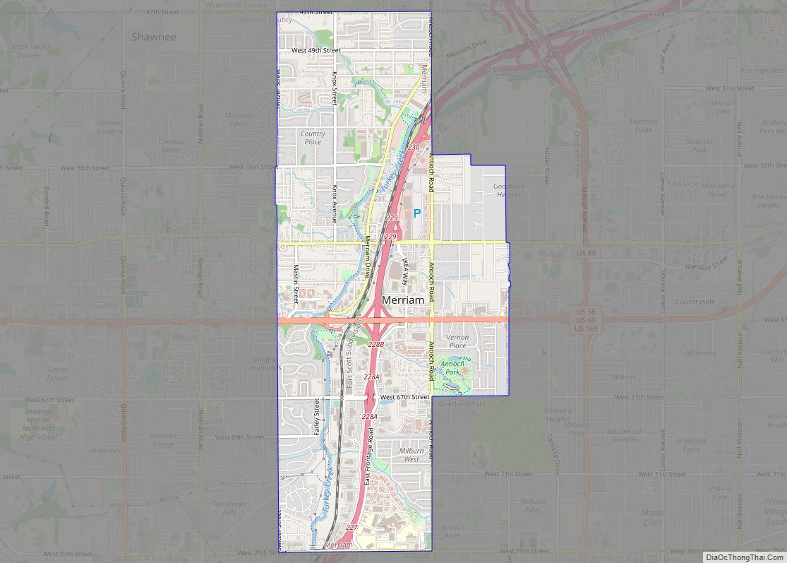
Merriam Road Map

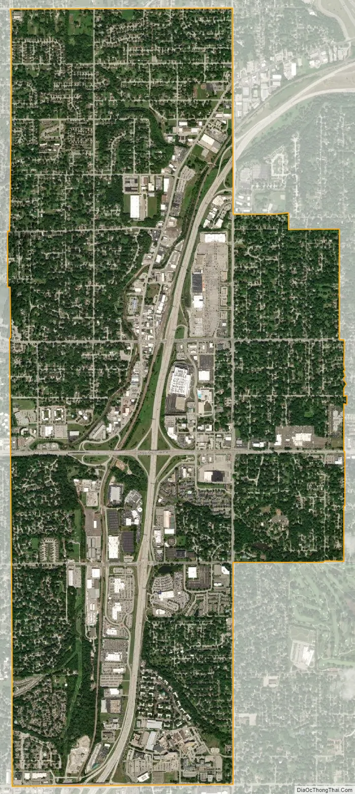
Merriam city Satellite Map
Geography
Merriam is located at 39°1′15″N 94°41′38″W / 39.02083°N 94.69389°W / 39.02083; -94.69389 (39.020888, -94.693784). It is bordered by the cities of Overland Park to the east and south, Shawnee to the west, and Kansas City, Kansas to the north (in Wyandotte County); the city of Lenexa is less than a mile to the southwest. The city straddles approximately three miles of Interstate 35 from less than a mile southwest of its junction with Interstate 635 south to 75th Street. Shawnee Mission Parkway, an east–west road, nearly bisects the city. U.S. Routes 59 and 69 follow the Interstate to the south of the city and follow Shawnee Mission Parkway to the east from its junction with the Interstate. Turkey Creek, following a roughly parallel path to the Interstate, flows through the city.
According to the United States Census Bureau, the city has a total area of 4.32 square miles (11.19 km), all of it land.
See also
Map of Kansas State and its subdivision:- Allen
- Anderson
- Atchison
- Barber
- Barton
- Bourbon
- Brown
- Butler
- Chase
- Chautauqua
- Cherokee
- Cheyenne
- Clark
- Clay
- Cloud
- Coffey
- Comanche
- Cowley
- Crawford
- Decatur
- Dickinson
- Doniphan
- Douglas
- Edwards
- Elk
- Ellis
- Ellsworth
- Finney
- Ford
- Franklin
- Geary
- Gove
- Graham
- Grant
- Gray
- Greeley
- Greenwood
- Hamilton
- Harper
- Harvey
- Haskell
- Hodgeman
- Jackson
- Jefferson
- Jewell
- Johnson
- Kearny
- Kingman
- Kiowa
- Labette
- Lane
- Leavenworth
- Lincoln
- Linn
- Logan
- Lyon
- Marion
- Marshall
- McPherson
- Meade
- Miami
- Mitchell
- Montgomery
- Morris
- Morton
- Nemaha
- Neosho
- Ness
- Norton
- Osage
- Osborne
- Ottawa
- Pawnee
- Phillips
- Pottawatomie
- Pratt
- Rawlins
- Reno
- Republic
- Rice
- Riley
- Rooks
- Rush
- Russell
- Saline
- Scott
- Sedgwick
- Seward
- Shawnee
- Sheridan
- Sherman
- Smith
- Stafford
- Stanton
- Stevens
- Sumner
- Thomas
- Trego
- Wabaunsee
- Wallace
- Washington
- Wichita
- Wilson
- Woodson
- Wyandotte
- Alabama
- Alaska
- Arizona
- Arkansas
- California
- Colorado
- Connecticut
- Delaware
- District of Columbia
- Florida
- Georgia
- Hawaii
- Idaho
- Illinois
- Indiana
- Iowa
- Kansas
- Kentucky
- Louisiana
- Maine
- Maryland
- Massachusetts
- Michigan
- Minnesota
- Mississippi
- Missouri
- Montana
- Nebraska
- Nevada
- New Hampshire
- New Jersey
- New Mexico
- New York
- North Carolina
- North Dakota
- Ohio
- Oklahoma
- Oregon
- Pennsylvania
- Rhode Island
- South Carolina
- South Dakota
- Tennessee
- Texas
- Utah
- Vermont
- Virginia
- Washington
- West Virginia
- Wisconsin
- Wyoming