McPherson ( /məkˈfɜːrsən/) is a city in and the county seat of McPherson County, Kansas, United States. As of the 2020 census, the population of the city was 14,082. The city is named after Union General James Birdseye McPherson, a Civil War general. It is home to McPherson College and Central Christian College.
| Name: | McPherson city |
|---|---|
| LSAD Code: | 25 |
| LSAD Description: | city (suffix) |
| State: | Kansas |
| County: | McPherson County |
| Founded: | 1872 |
| Incorporated: | 1874 |
| Elevation: | 1,496 ft (456 m) |
| Total Area: | 7.48 sq mi (19.38 km²) |
| Land Area: | 7.43 sq mi (19.25 km²) |
| Water Area: | 0.05 sq mi (0.13 km²) |
| Total Population: | 14,082 |
| Population Density: | 1,900/sq mi (730/km²) |
| ZIP code: | 67460 |
| Area code: | 620 |
| FIPS code: | 2043950 |
| Website: | mcphersonks.org |
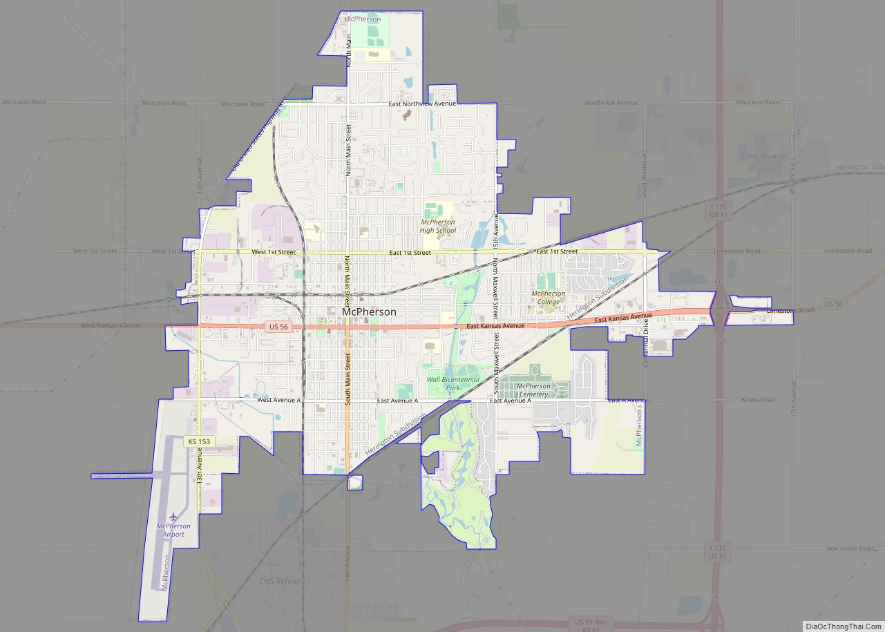
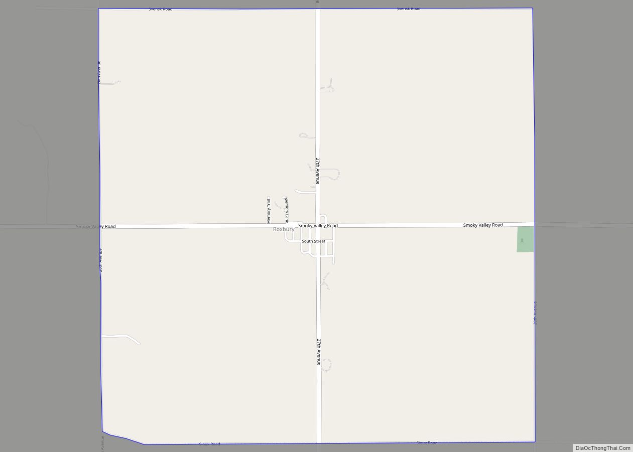
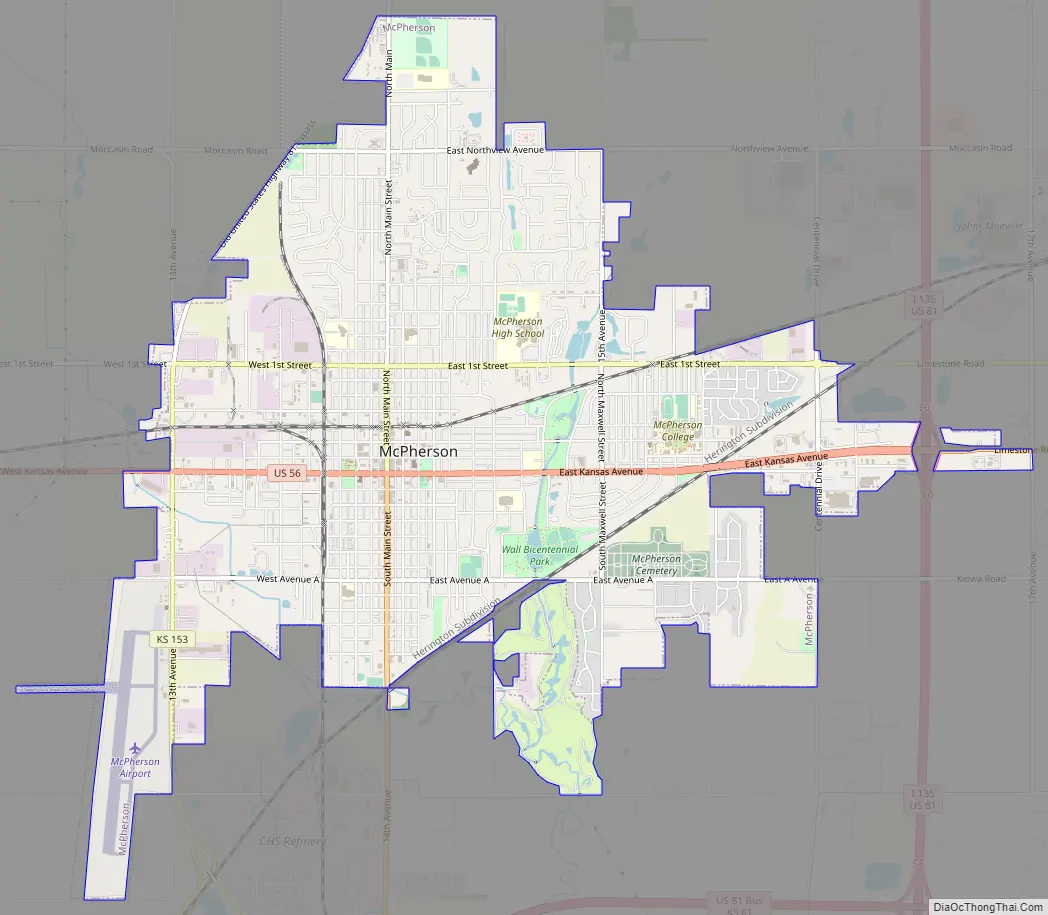
Online Interactive Map
Click on ![]() to view map in "full screen" mode.
to view map in "full screen" mode.
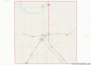
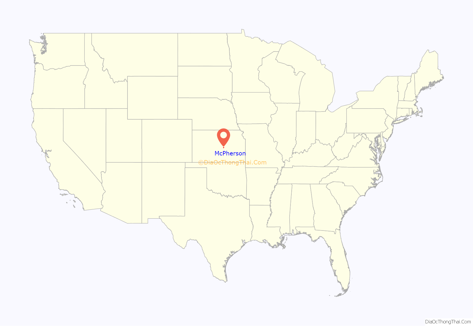
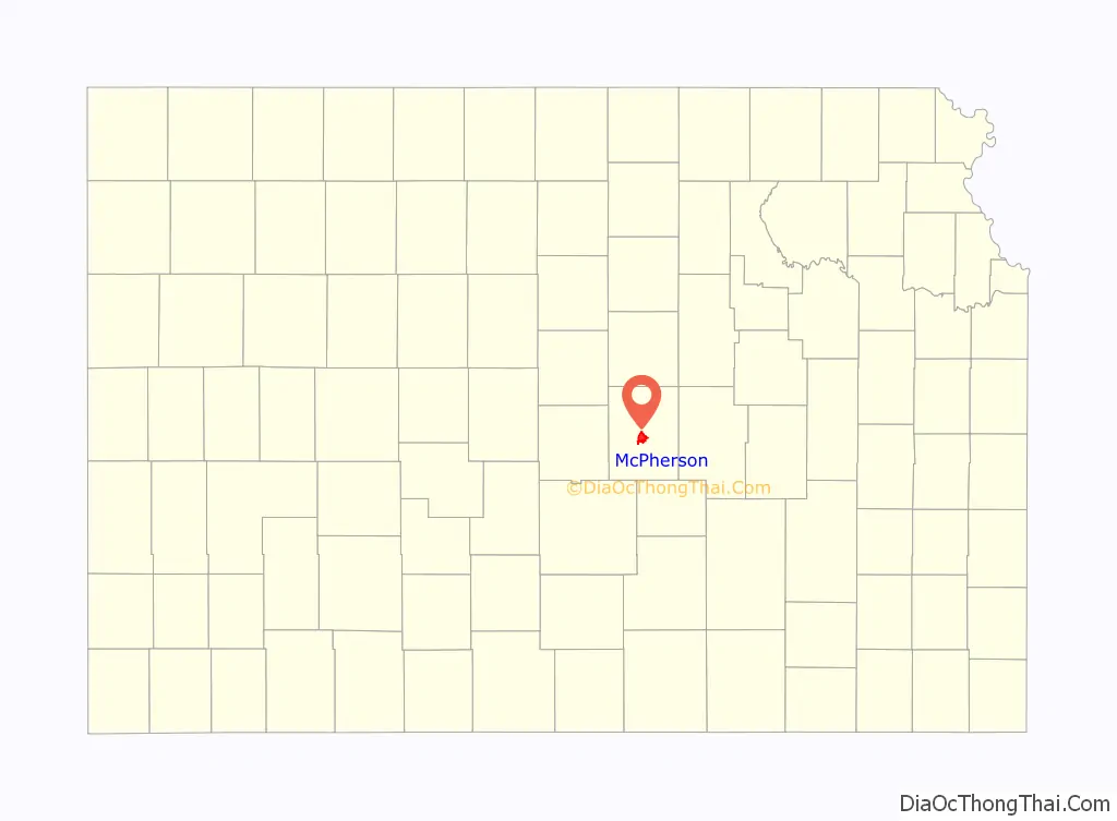
McPherson location map. Where is McPherson city?
History
19th century
For millennia, the land now known as Kansas was inhabited by Native Americans. In 1803, most of modern Kansas was secured by the United States as part of the Louisiana Purchase. In 1854, the Kansas Territory was organized, then in 1861 Kansas became the 34th U.S. state. In 1867, McPherson County was founded.
McPherson was founded in 1872 by the twelve members of the McPherson Town Company. In 1887, city officials began a failed attempt to have the community named the state capital.
The first post office in McPherson was established in 1873. McPherson was incorporated as a city in 1874.
As early as 1875, city leaders of Marion held a meeting to consider a branch railroad from Florence. In 1878, Atchison, Topeka and Santa Fe Railway and parties from Marion County and McPherson County chartered the Marion and McPherson Railway Company. In 1879, a branch line was built from Florence to McPherson. In 1880 it was extended to Lyons and in 1881 it was extended to Ellinwood. The line was leased and operated by the Atchison, Topeka and Santa Fe Railway. The line from Florence to Marion, was abandoned in 1968. In 1992, the line from Marion to McPherson was sold to Central Kansas Railway. In 1993, after heavy flood damage, the line from Marion to McPherson was abandoned. The original branch line connected Florence, Marion, Canada, Hillsboro, Lehigh, Canton, Galva, McPherson, Conway, Windom, Little River, Mitchell, Lyons, Chase, Ellinwood.
In 1887, the Chicago, Kansas and Nebraska Railway built a main line from Herington through McPherson to Pratt. In 1888, this line was extended to Liberal. Later, it was extended to Tucumcari, New Mexico and El Paso, Texas. It foreclosed in 1891 and taken over by Chicago, Rock Island and Pacific Railway, which shut down in 1980 and reorganized as Oklahoma, Kansas and Texas Railroad, merged in 1988 with Missouri Pacific Railroad, merged in 1997 with Union Pacific Railroad. Most locals still refer to this railroad as the “Rock Island”.
By 1888, the community was at the junction of four railroad lines. Major industries have included a large flour mill, an insurance company headquarters, and an oil refinery.
20th century
The National Old Trails Road, also known as the Ocean-to-Ocean Highway, was established in 1912, and was routed through Windom, Conway and McPherson.
In the 1930s, the local refinery sponsored the McPherson Globe Refiners basketball team (AAU). They were coached by Gene Johnson, former head coach of Wichita University (now Wichita State University). The Refiners were best known for their tall centers, Joe Fortenberry (6-8) and Willard Schmidt (6-9) and their fast-break style of play. Billed as “The Tallest Team in the World”, the Refiners often held their opponents to low scores because of the centers’ ability to deflect shots on the way to the basket in what today would be called goaltending. Coach Johnson was one of the innovators of the fast break and full-court press. The Refiners won the AAU national championship in 1936 against the Hollywood Universal team. This earned them the right to compete for the first ever USA Olympic basketball team in 1936. Hollywood Universal narrowly beat the Refiners at Madison Square Garden and the USA team was composed of both Universal and Refiners players and one college student. Coach Johnson was selected to be the assistant coach. After a long journey by boat to Europe, the team played in alternating squads at the Olympics. The Refiners’ portion of the team took the court to defeat Canada 19–8 in the gold medal game on August 14, 1936 at the Summer Olympics. The Refiners’ home court is now the McPherson Community Building at 121 East Marlin and can be toured by contacting the local Convention and Visitors Bureau. A mural in honor of the Refiners was completed in 2010 at the intersection of Kansas and Ash, south of their home court in preparation for the 75th anniversary celebration of their victory in 2011.
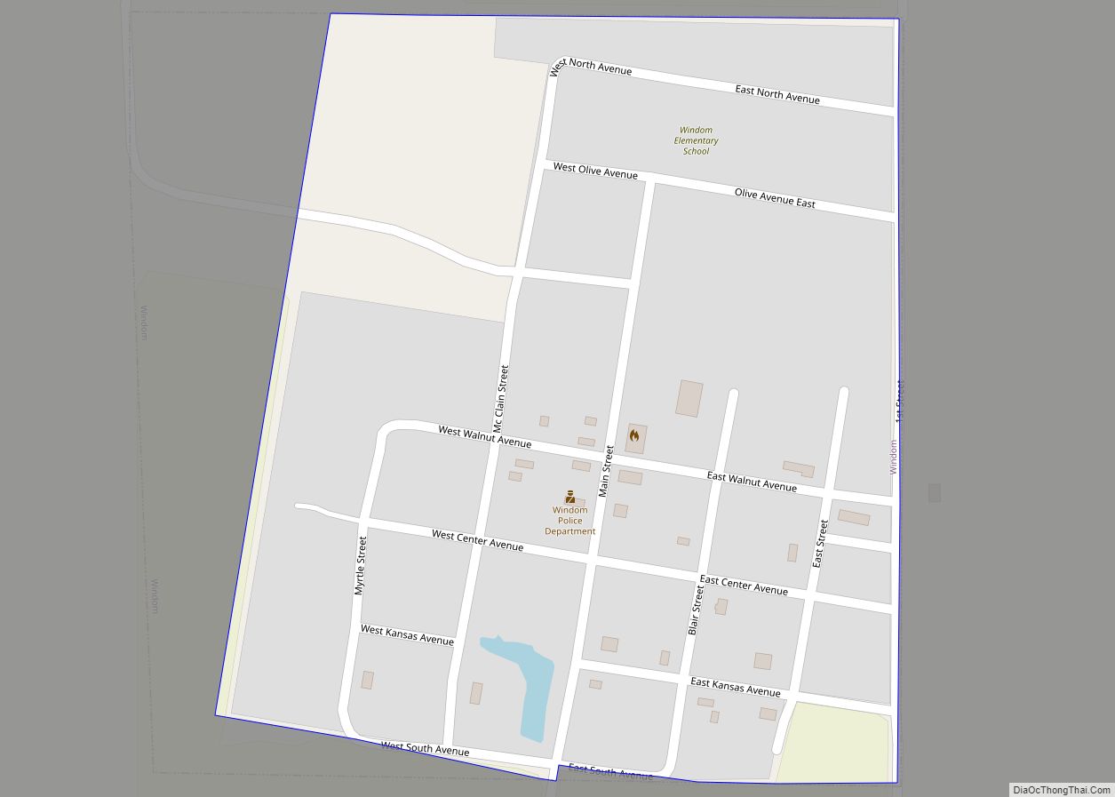
McPherson Road Map
McPherson city Satellite Map

Geography
McPherson is located at 38°22′19″N 97°39′44″W / 38.37194°N 97.66222°W / 38.37194; -97.66222 (38.371923, −97.662177). According to the United States Census Bureau, the city has a total area of 7.23 square miles (18.73 km), of which 7.18 square miles (18.60 km) is land and 0.05 square miles (0.13 km) is water.
The community is located on U.S. Route 56, just west of Interstate 135. McPherson is part of the Little Arkansas River Watershed that ultimately empties into the Arkansas River in Wichita. Dry Turkey Creek is a wet weather stream that composes several enhanced lakes within the city limits. It feeds the Lakeside Park Lagoon before crossing under East Euclid Street and Kansas Avenue, where it then forms Wall Park Lake.
South and west of town are four units of the reclaimed McPherson Valley Wetlands, acquired and managed by Kansas Department of Wildlife and Parks, Ducks Unlimited, and the U.S. Fish and Wildlife Service. Prior to 1880, this natural wetlands was an important waterfowl and wildlife habitat second only to Cheyenne Bottoms in importance to migratory bird populations. These wetlands continue to see improvement and development.
Climate
The climate in this area is characterized by hot, humid summers and generally mild to cool winters. According to the Köppen Climate Classification system, McPherson has a humid subtropical climate, abbreviated “Cfa” on climate maps.
See also
Map of Kansas State and its subdivision:- Allen
- Anderson
- Atchison
- Barber
- Barton
- Bourbon
- Brown
- Butler
- Chase
- Chautauqua
- Cherokee
- Cheyenne
- Clark
- Clay
- Cloud
- Coffey
- Comanche
- Cowley
- Crawford
- Decatur
- Dickinson
- Doniphan
- Douglas
- Edwards
- Elk
- Ellis
- Ellsworth
- Finney
- Ford
- Franklin
- Geary
- Gove
- Graham
- Grant
- Gray
- Greeley
- Greenwood
- Hamilton
- Harper
- Harvey
- Haskell
- Hodgeman
- Jackson
- Jefferson
- Jewell
- Johnson
- Kearny
- Kingman
- Kiowa
- Labette
- Lane
- Leavenworth
- Lincoln
- Linn
- Logan
- Lyon
- Marion
- Marshall
- McPherson
- Meade
- Miami
- Mitchell
- Montgomery
- Morris
- Morton
- Nemaha
- Neosho
- Ness
- Norton
- Osage
- Osborne
- Ottawa
- Pawnee
- Phillips
- Pottawatomie
- Pratt
- Rawlins
- Reno
- Republic
- Rice
- Riley
- Rooks
- Rush
- Russell
- Saline
- Scott
- Sedgwick
- Seward
- Shawnee
- Sheridan
- Sherman
- Smith
- Stafford
- Stanton
- Stevens
- Sumner
- Thomas
- Trego
- Wabaunsee
- Wallace
- Washington
- Wichita
- Wilson
- Woodson
- Wyandotte
- Alabama
- Alaska
- Arizona
- Arkansas
- California
- Colorado
- Connecticut
- Delaware
- District of Columbia
- Florida
- Georgia
- Hawaii
- Idaho
- Illinois
- Indiana
- Iowa
- Kansas
- Kentucky
- Louisiana
- Maine
- Maryland
- Massachusetts
- Michigan
- Minnesota
- Mississippi
- Missouri
- Montana
- Nebraska
- Nevada
- New Hampshire
- New Jersey
- New Mexico
- New York
- North Carolina
- North Dakota
- Ohio
- Oklahoma
- Oregon
- Pennsylvania
- Rhode Island
- South Carolina
- South Dakota
- Tennessee
- Texas
- Utah
- Vermont
- Virginia
- Washington
- West Virginia
- Wisconsin
- Wyoming