Fairview is a small census-designated place on the boundary between Christian and Todd counties in the western part of the U.S. state of Kentucky. As of the 2010 census, it had a population of 286, with 186 living in Christian County and 100 living in Todd County. It is chiefly notable as the birthplace of ... Read more
Kentucky Cities and Places
Farmington is an unincorporated community and census-designated place (CDP) in Graves County, Kentucky, United States. Farmington is located 8 miles (13 km) southeast of Mayfield, the Graves County seat, and 13 miles (21 km) west of Murray. The population of Farmington was 245 at the 2010 census. Farmington was laid out in 1836 and named for the ... Read more
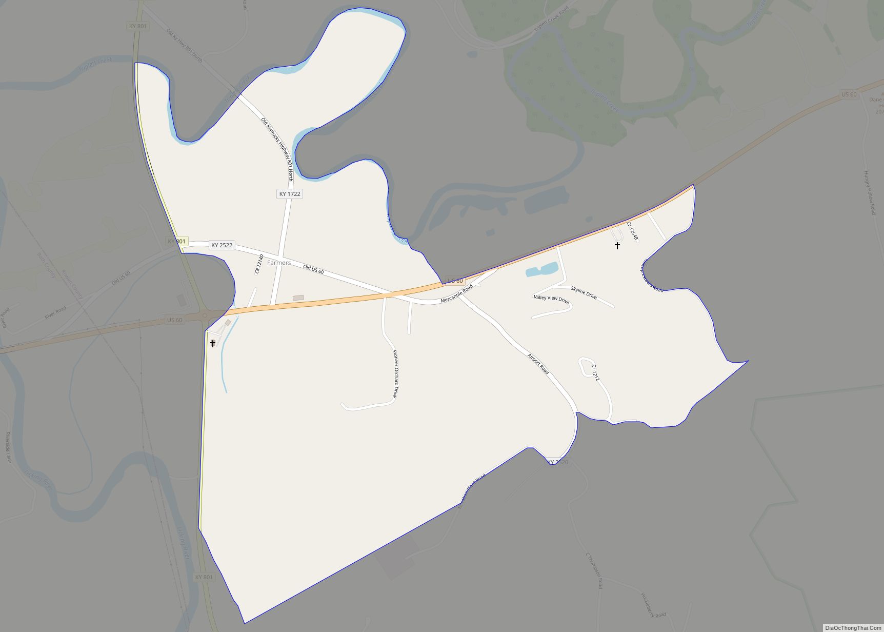
Farmers is an unincorporated community and census-designated place in Rowan County, Kentucky, United States. Its population was 284 as of the 2010 census. Farmers has a post office with ZIP code 40319. U.S. Route 60 passes through the community. Farmers CDP overview: Name: Farmers CDP LSAD Code: 57 LSAD Description: CDP (suffix) State: Kentucky County: ... Read more
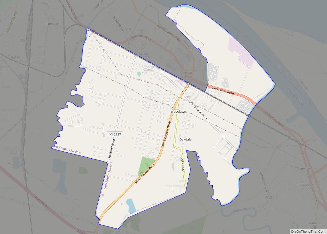
Farley is a census-designated place (CDP) in McCracken County, Kentucky, United States. The population was 4,374 as of the 2020 census, down from 4,701 in 2010. It is part of the Paducah, KY-IL Micropolitan Statistical Area. The area was listed by the U.S. Census Bureau as Woodlawn-Oakdale starting with the 1980 census and as Farley ... Read more
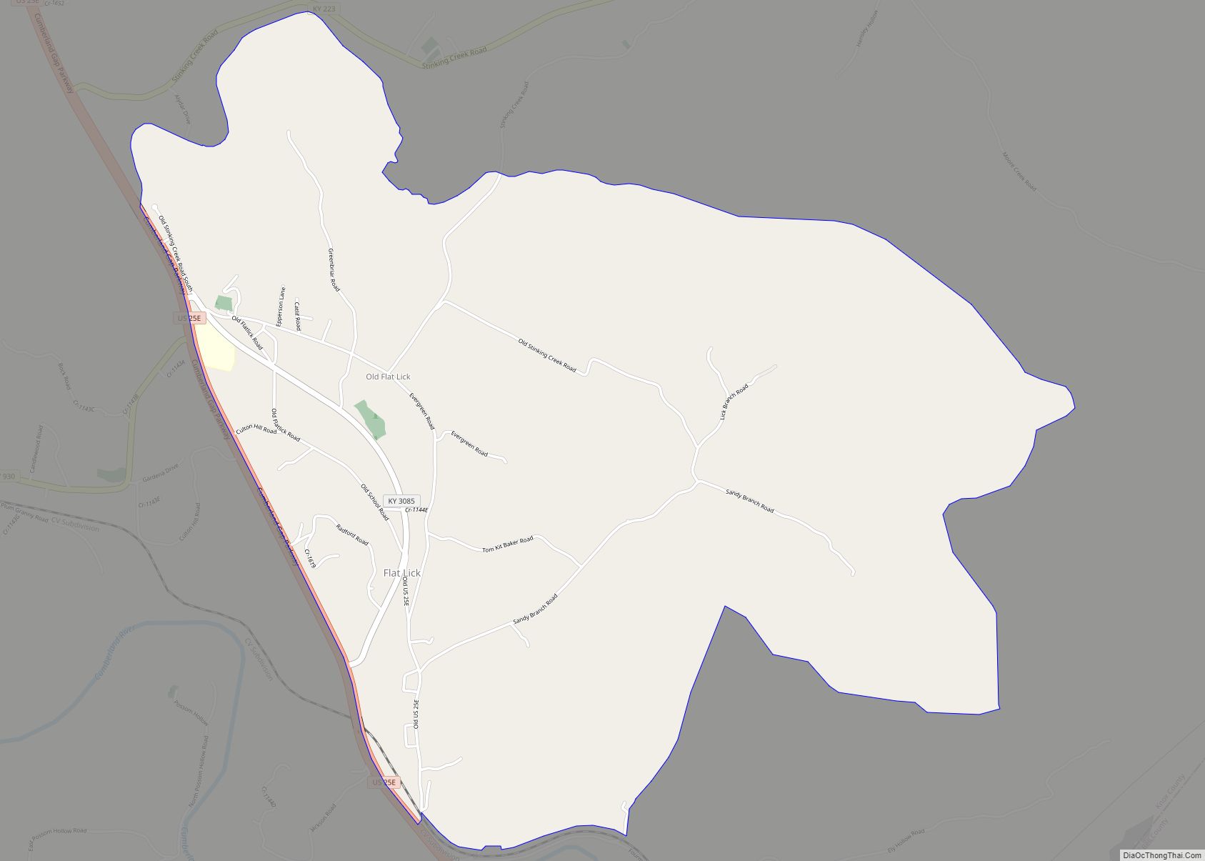
Flat Lick is an unincorporated community and census-designated place (CDP) in Knox County, Kentucky, United States. As of the 2010 census, the population was 960. The oldest community in the county, Flat Lick was settled before 1784 and named for a salty rock which attracted wild animals. Flat Lick CDP overview: Name: Flat Lick CDP ... Read more
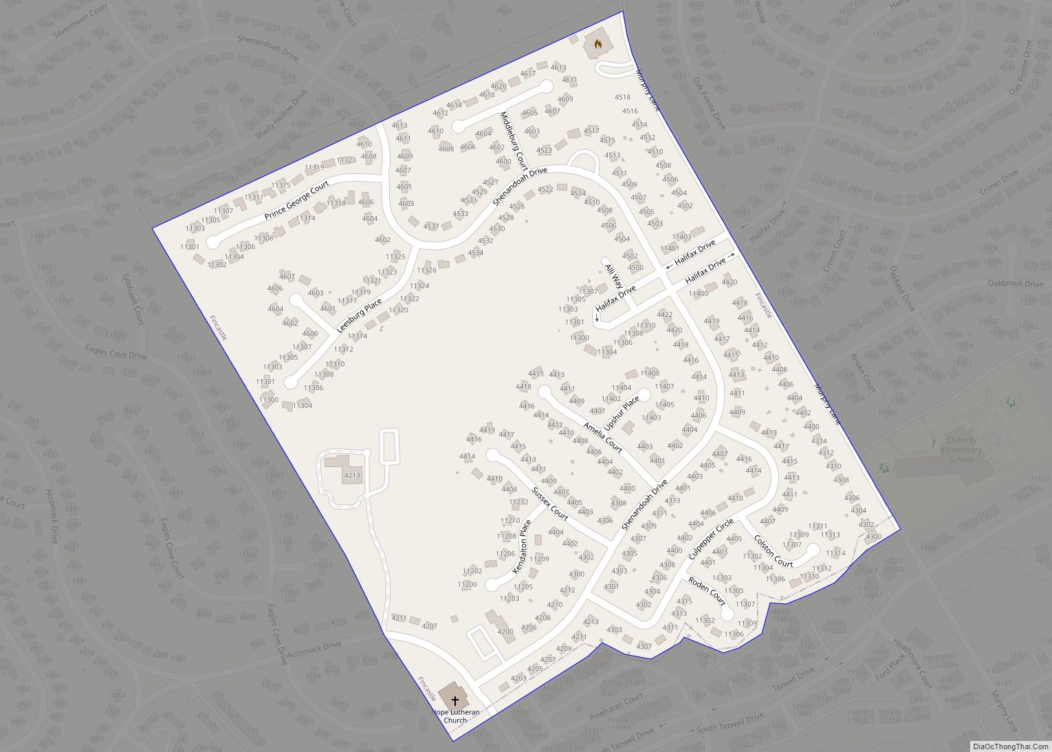
Fincastle is a home rule-class city in eastern Jefferson County, Kentucky, United States. The population was 817 at the 2010 census. Fincastle city overview: Name: Fincastle city LSAD Code: 25 LSAD Description: city (suffix) State: Kentucky County: Jefferson County Elevation: 715 ft (218 m) Total Area: 0.21 sq mi (0.55 km²) Land Area: 0.21 sq mi (0.55 km²) Water Area: 0.00 sq mi (0.00 km²) Population ... Read more
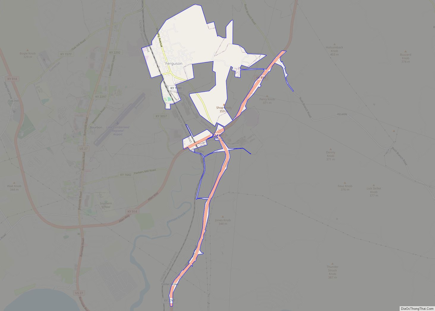
Ferguson is a home rule-class city just south of downtown Somerset in Pulaski County, Kentucky, United States. It had a population of 924 as of the 2010 census, up from 881 in 2000. Ferguson city overview: Name: Ferguson city LSAD Code: 25 LSAD Description: city (suffix) State: Kentucky County: Pulaski County Elevation: 935 ft (285 m) Total ... Read more
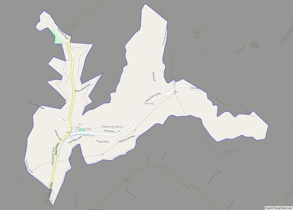
Fleming-Neon also known as Neon, is a home rule-class city in Letcher County, Kentucky, in the United States. The population was 770 at the 2010 census, down from 840 at the 2000 census. Fleming-Neon city overview: Name: Fleming-Neon city LSAD Code: 25 LSAD Description: city (suffix) State: Kentucky County: Letcher County Elevation: 1,391 ft (424 m) Total ... Read more
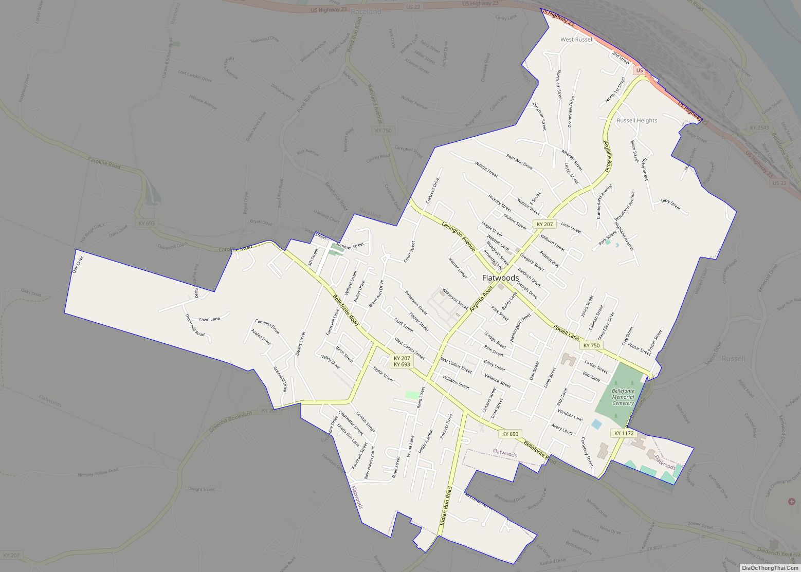
Flatwoods is a home rule-class city in Greenup County, Kentucky, United States. The population was 7,325 at the 2020 census, making it the largest city in Greenup County. Flatwoods is a part of the Huntington–Ashland metropolitan area. Locally, Flatwoods is considered to be a bedroom community, as it has no large employer within the city. ... Read more
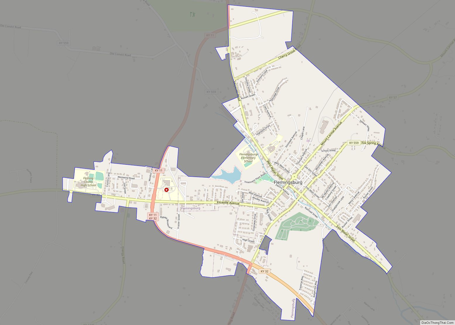
Flemingsburg is a home rule-class city in Fleming County, Kentucky, in the United States. The population was 2,658 at the 2010 census, down from 3,010 at the 2000 census. It is the seat of Fleming County. Flemingsburg city overview: Name: Flemingsburg city LSAD Code: 25 LSAD Description: city (suffix) State: Kentucky County: Fleming County Elevation: ... Read more
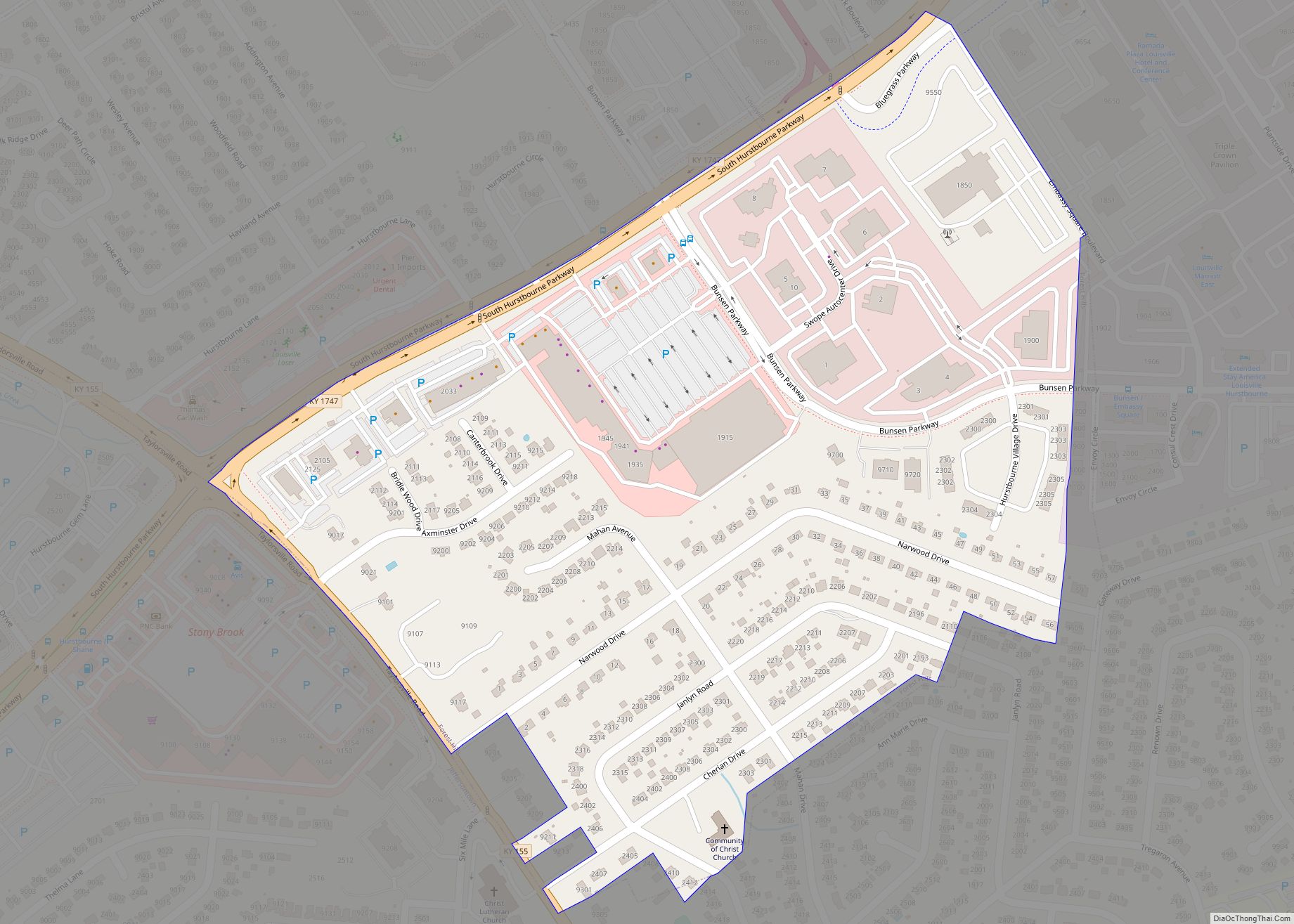
Forest Hills is a home rule-class city in Jefferson County, Kentucky, United States. It was formally incorporated by the state assembly in 1959. The population was 444 at the 2010 census. Forest Hills city overview: Name: Forest Hills city LSAD Code: 25 LSAD Description: city (suffix) State: Kentucky County: Jefferson County Elevation: 659 ft (201 m) Total ... Read more
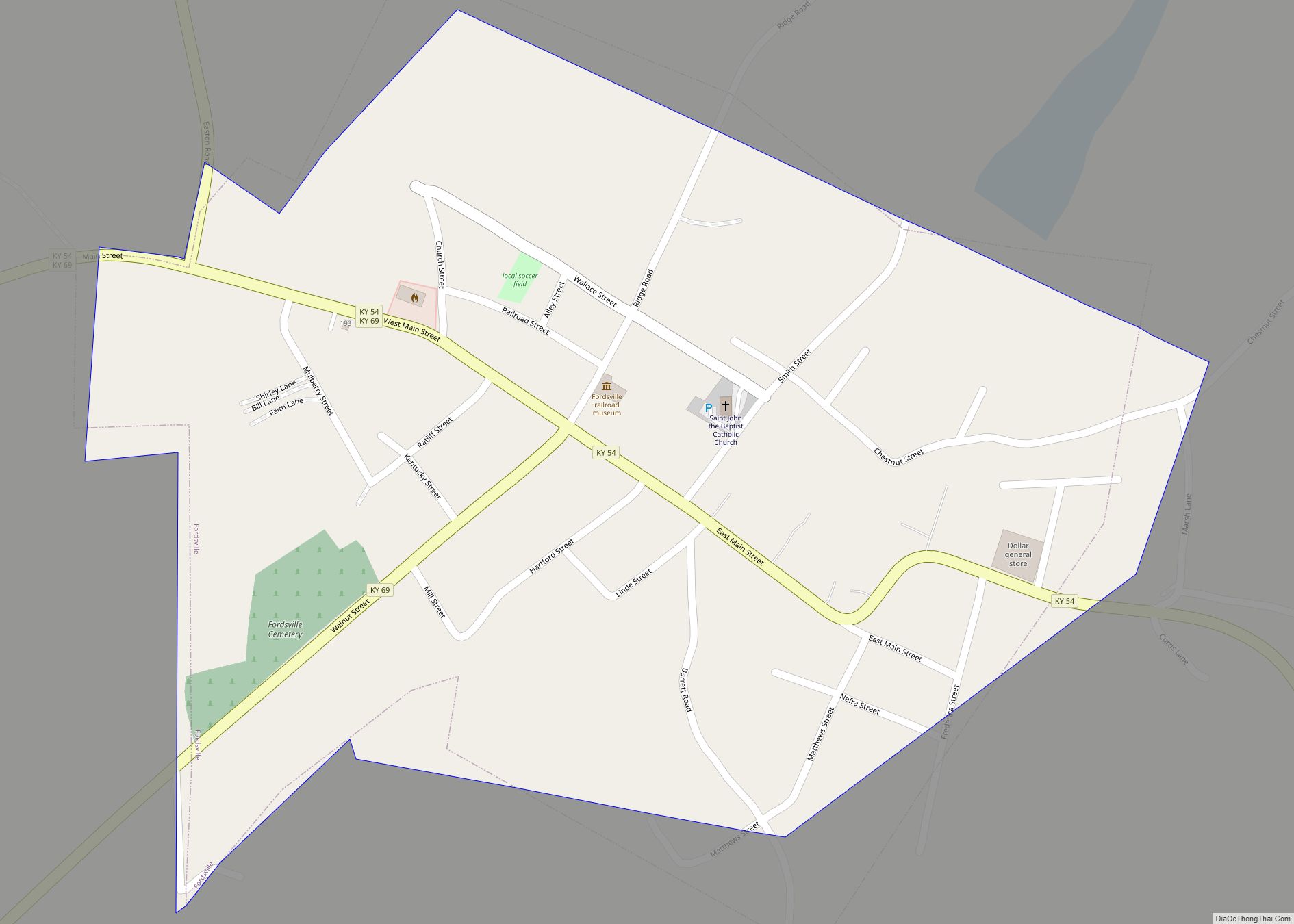
Fordsville is a home rule-class city in Ohio County, Kentucky, in the United States. The population was 524 at the 2010 census. Fordsville city overview: Name: Fordsville city LSAD Code: 25 LSAD Description: city (suffix) State: Kentucky County: Ohio County Elevation: 499 ft (152 m) Total Area: 0.45 sq mi (1.16 km²) Land Area: 0.45 sq mi (1.16 km²) Water Area: 0.00 sq mi (0.00 km²) ... Read more


