Florence is a home rule-class city in Boone County, Kentucky, United States. Florence is the second largest city located in Northern Kentucky, after Covington, and part of the Greater Cincinnati Metropolitan Area. The population was 31,946 at the 2020 census, making it the state’s eighth-largest city and also the state’s largest that is not a county seat.
| Name: | Florence city |
|---|---|
| LSAD Code: | 25 |
| LSAD Description: | city (suffix) |
| State: | Kentucky |
| County: | Boone County |
| Incorporated: | February 17, 1860 |
| Elevation: | 925 ft (282 m) |
| Total Area: | 10.73 sq mi (27.78 km²) |
| Land Area: | 10.70 sq mi (27.72 km²) |
| Water Area: | 0.03 sq mi (0.07 km²) |
| Total Population: | 31,946 |
| Population Density: | 2,985.05/sq mi (1,152.58/km²) |
| ZIP code: | 41022, 41042 |
| Area code: | 859 |
| FIPS code: | 2127982 |
| GNISfeature ID: | 0492266 |
| Website: | www.florence-ky.gov |
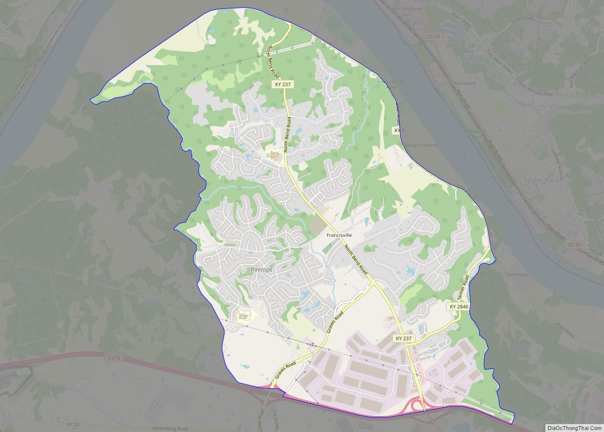
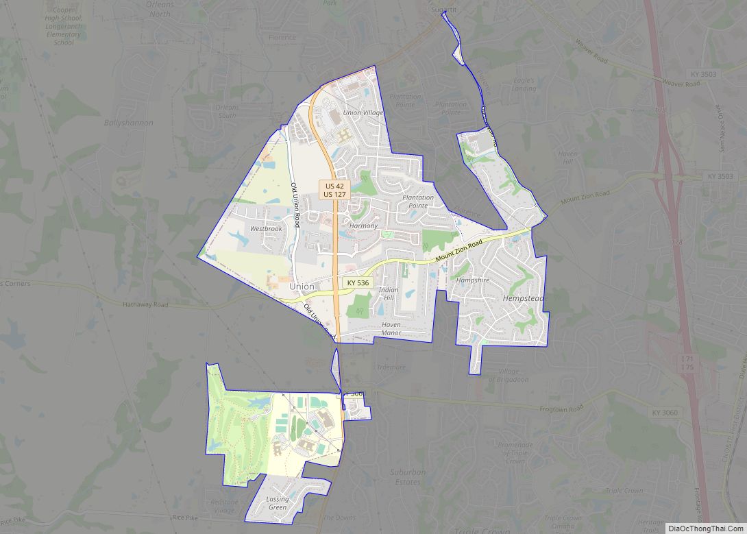
Online Interactive Map
Click on ![]() to view map in "full screen" mode.
to view map in "full screen" mode.
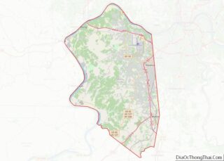
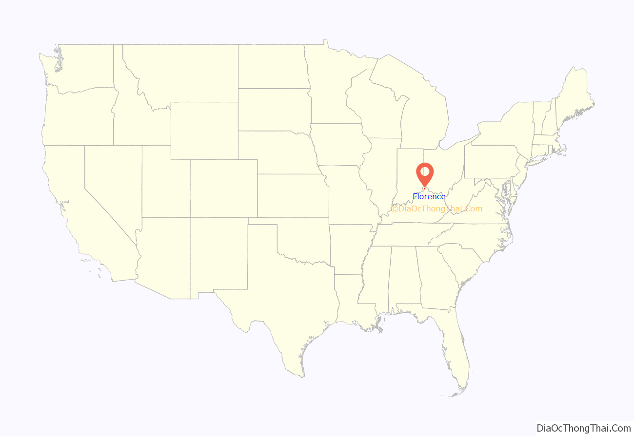
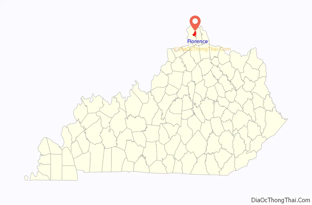
Florence location map. Where is Florence city?
History
The Florence area was originally known as Crossroads, because of the convergence of several roads from Burlington and Union at Ridge Road (now U.S. 25). By 1821, the area was known as Maddentown for Thomas Madden, a Covington attorney who owned a farm on the Burlington Pike. When Madden moved away, the area became known as Connersville in 1828 for Jacob Conner, a settler who assumed responsibility for the growing town. The town was finally renamed Florence because there was another Connersville in Harrison County. The name presumably is for Florence, Italy, but the specific etymology is unclear. It was incorporated on January 27, 1830, and grew quickly after the completion of the Covington-Lexington Turnpike in 1836.
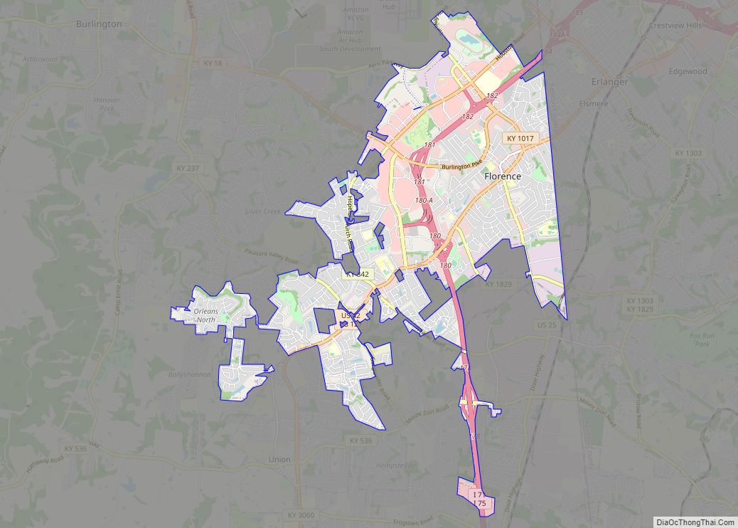
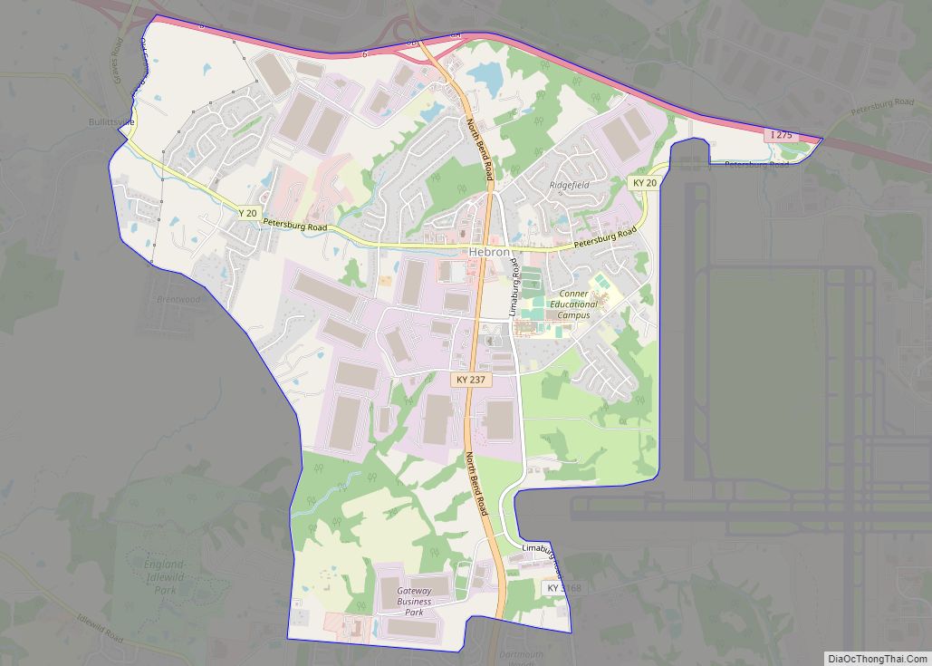
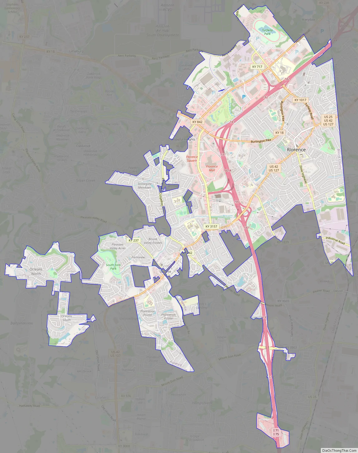
Florence Road Map
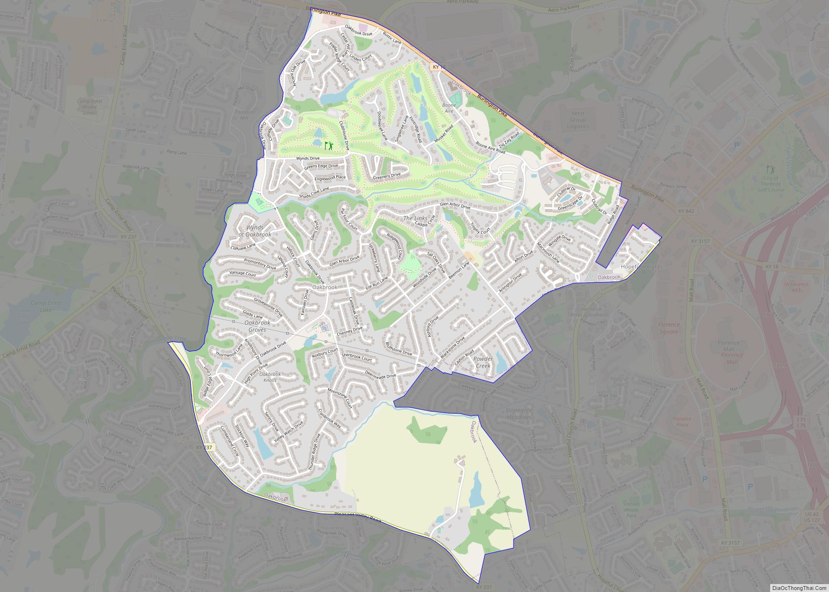
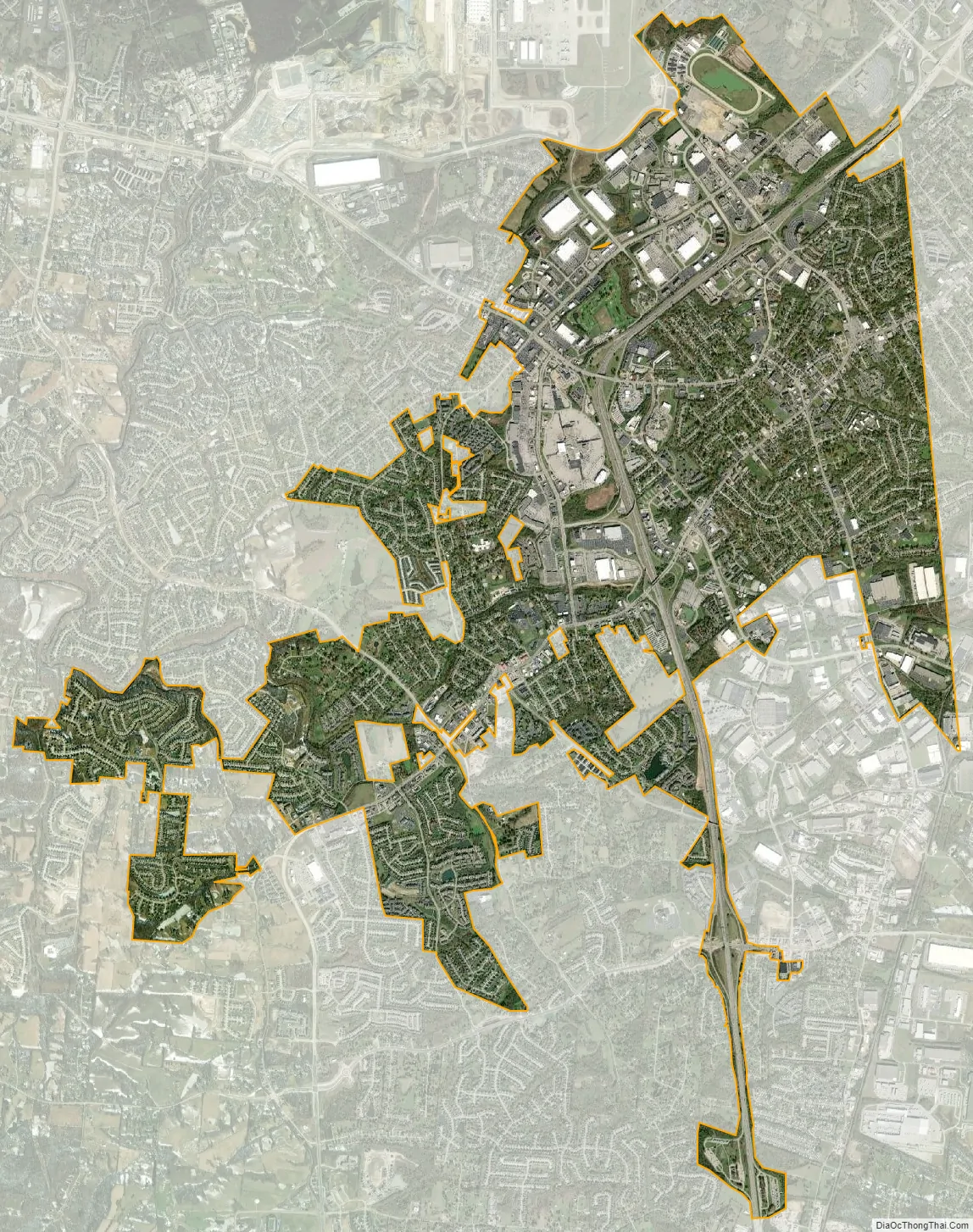
Florence city Satellite Map
Geography
Florence is located in eastern Boone County at 38°59′36″N 84°38′33″W / 38.99333°N 84.64250°W / 38.99333; -84.64250 (38.993225, -84.642602). U.S. Routes 25, 42, and 127 pass through the center of Florence, leading northeast in a concurrency 11 miles (18 km) to downtown Cincinnati. Interstates 75 and 71 pass through the western part of Florence, with access from exits 178 through 182.
According to the United States Census Bureau, the city has a total area of 10.3 square miles (26.8 km), of which 10.3 square miles (26.7 km) is land and 0.04 square miles (0.1 km), or 0.43%, is water.
See also
Map of Kentucky State and its subdivision:- Adair
- Allen
- Anderson
- Ballard
- Barren
- Bath
- Bell
- Boone
- Bourbon
- Boyd
- Boyle
- Bracken
- Breathitt
- Breckinridge
- Bullitt
- Butler
- Caldwell
- Calloway
- Campbell
- Carlisle
- Carroll
- Carter
- Casey
- Christian
- Clark
- Clay
- Clinton
- Crittenden
- Cumberland
- Daviess
- Edmonson
- Elliott
- Estill
- Fayette
- Fleming
- Floyd
- Franklin
- Fulton
- Gallatin
- Garrard
- Grant
- Graves
- Grayson
- Green
- Greenup
- Hancock
- Hardin
- Harlan
- Harrison
- Hart
- Henderson
- Henry
- Hickman
- Hopkins
- Jackson
- Jefferson
- Jessamine
- Johnson
- Kenton
- Knott
- Knox
- Larue
- Laurel
- Lawrence
- Lee
- Leslie
- Letcher
- Lewis
- Lincoln
- Livingston
- Logan
- Lyon
- Madison
- Magoffin
- Marion
- Marshall
- Martin
- Mason
- McCracken
- McCreary
- McLean
- Meade
- Menifee
- Mercer
- Metcalfe
- Monroe
- Montgomery
- Morgan
- Muhlenberg
- Nelson
- Nicholas
- Ohio
- Oldham
- Owen
- Owsley
- Pendleton
- Perry
- Pike
- Powell
- Pulaski
- Robertson
- Rockcastle
- Rowan
- Russell
- Scott
- Shelby
- Simpson
- Spencer
- Taylor
- Todd
- Trigg
- Trimble
- Union
- Warren
- Washington
- Wayne
- Webster
- Whitley
- Wolfe
- Woodford
- Alabama
- Alaska
- Arizona
- Arkansas
- California
- Colorado
- Connecticut
- Delaware
- District of Columbia
- Florida
- Georgia
- Hawaii
- Idaho
- Illinois
- Indiana
- Iowa
- Kansas
- Kentucky
- Louisiana
- Maine
- Maryland
- Massachusetts
- Michigan
- Minnesota
- Mississippi
- Missouri
- Montana
- Nebraska
- Nevada
- New Hampshire
- New Jersey
- New Mexico
- New York
- North Carolina
- North Dakota
- Ohio
- Oklahoma
- Oregon
- Pennsylvania
- Rhode Island
- South Carolina
- South Dakota
- Tennessee
- Texas
- Utah
- Vermont
- Virginia
- Washington
- West Virginia
- Wisconsin
- Wyoming