Flatwoods is a home rule-class city in Greenup County, Kentucky, United States. The population was 7,325 at the 2020 census, making it the largest city in Greenup County. Flatwoods is a part of the Huntington–Ashland metropolitan area. Locally, Flatwoods is considered to be a bedroom community, as it has no large employer within the city. Many residents work for CSX Transportation, Marathon Petroleum, or King’s Daughters Medical Center.
| Name: | Flatwoods city |
|---|---|
| LSAD Code: | 25 |
| LSAD Description: | city (suffix) |
| State: | Kentucky |
| County: | Greenup County |
| Elevation: | 682 ft (208 m) |
| Total Area: | 3.26 sq mi (8.45 km²) |
| Land Area: | 3.26 sq mi (8.44 km²) |
| Water Area: | 0.00 sq mi (0.01 km²) |
| Total Population: | 7,325 |
| Population Density: | 2,246.93/sq mi (867.52/km²) |
| ZIP code: | 41139 |
| Area code: | 606 |
| FIPS code: | 2127802 |
| GNISfeature ID: | 0492225 |
| Website: | www.flatwoodsky.org |
Online Interactive Map
Click on ![]() to view map in "full screen" mode.
to view map in "full screen" mode.
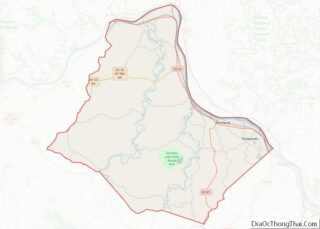
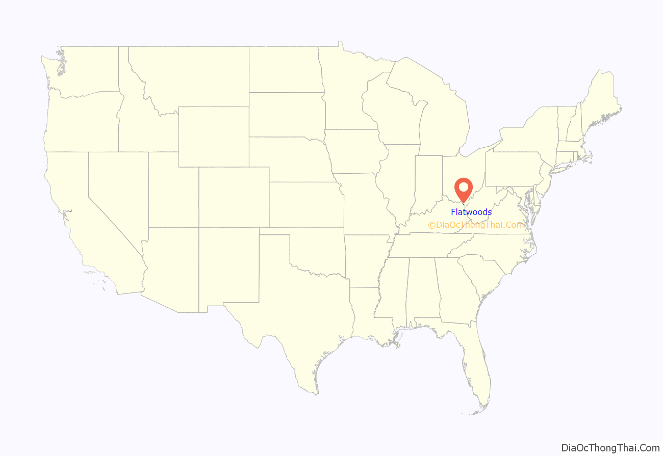
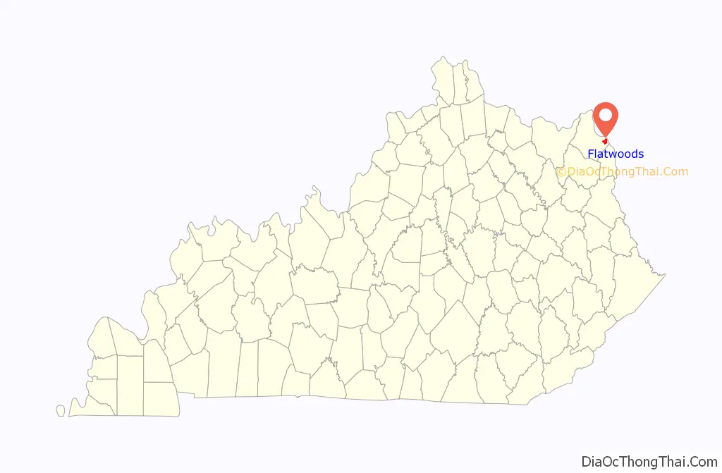
Flatwoods location map. Where is Flatwoods city?
History
The area now known as Flatwoods was originally named “Advance”: Advance Methodist Church formed a Sunday school beginning in 1860. The name was later changed to “Cheap”, after John Cheap, a blind clergyman. The original farming community returned to the name of “Advance” when a post office was established in 1918. In 1938, the post office was renamed “Flatwoods”, and the town was incorporated the same year under that name. Flatwoods is named for the area’s unique topography, a belt of flat wooded land in the ancient Teays River valley on an elevation of approximately 650 feet (200 m) or higher, just south of and 150 feet (46 m) higher than the Ohio River valley. The availability of flat level land and low tax rates made Flatwoods a local hot spot of new construction in the 1950s and 1960s, when many upper-middle-class tract housing developments were built and quickly inhabited. A main contributor to Flatwoods’ growth was the fact that nearby Ashland had developed much of its available land prior to 1960, with little new construction possible within its corporation limits.
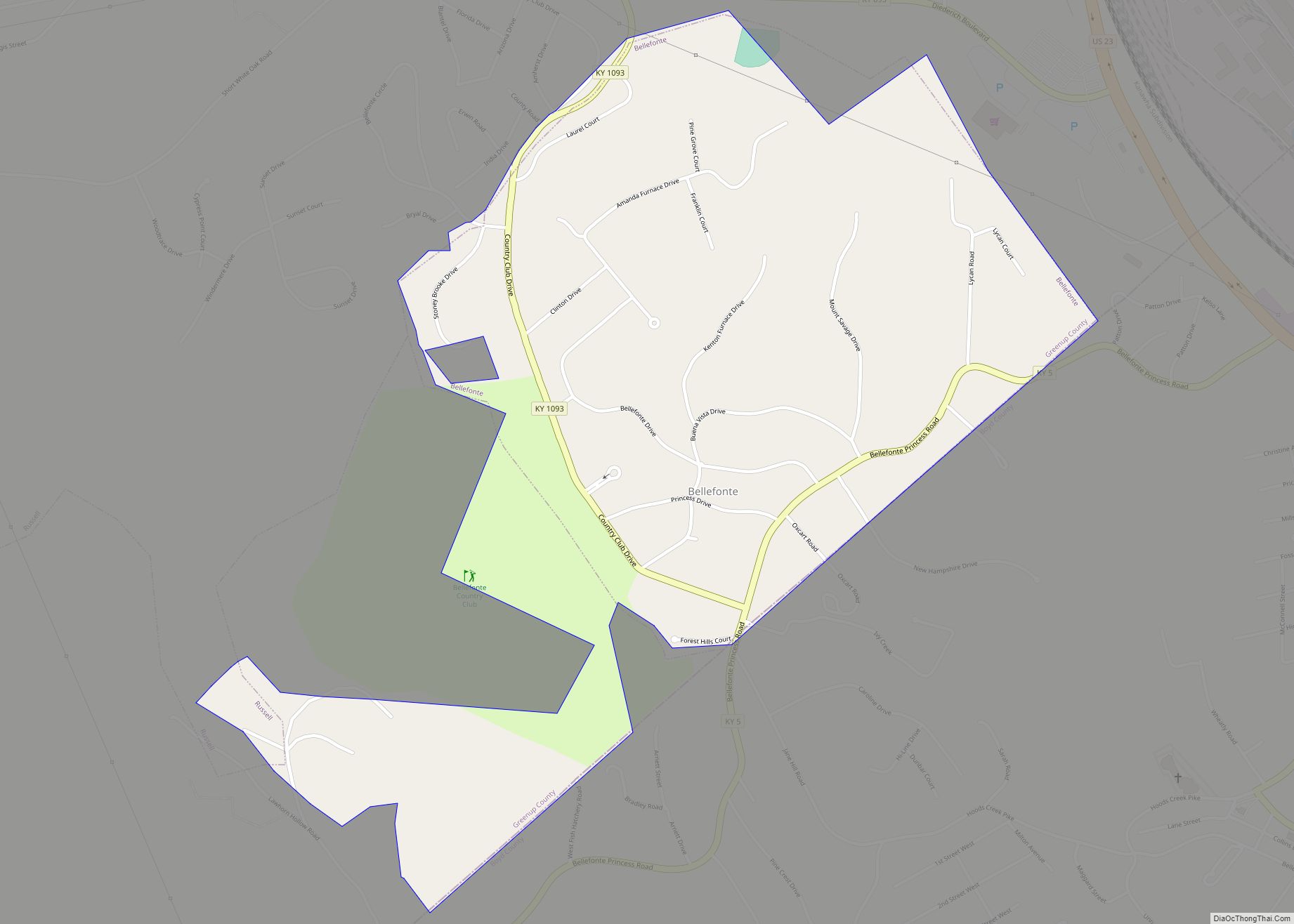
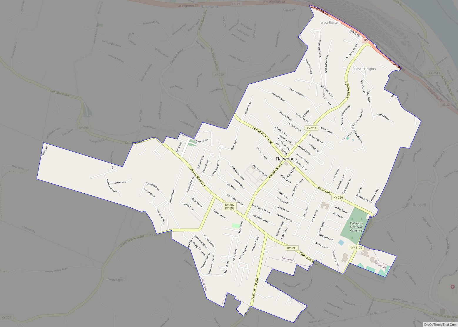
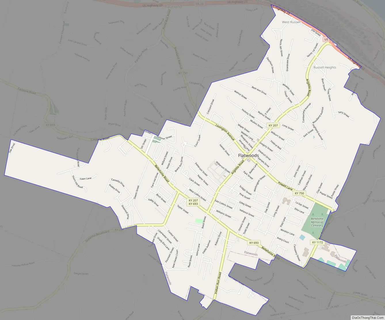
Flatwoods Road Map
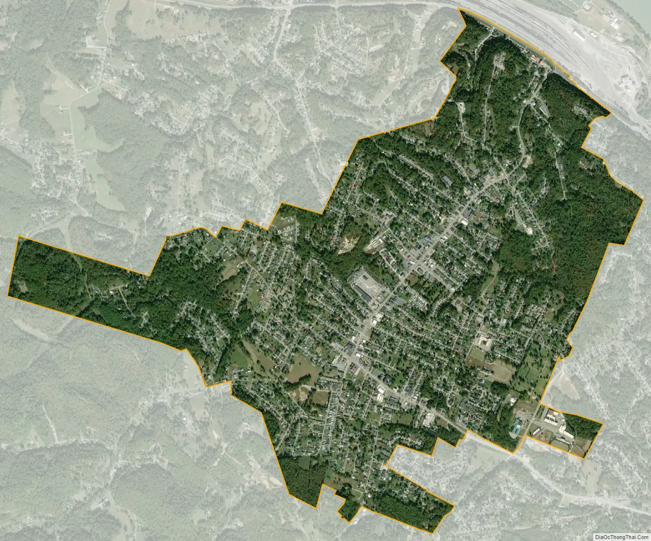
Flatwoods city Satellite Map
Geography
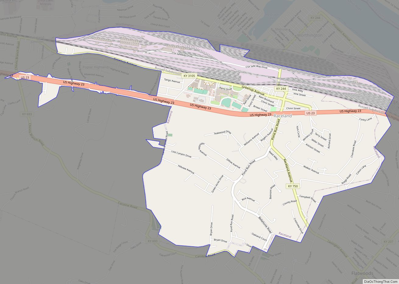
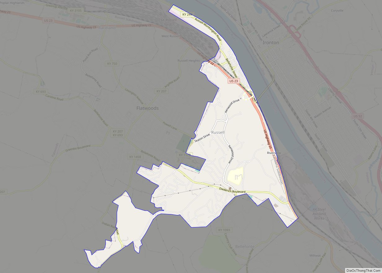
Flatwoods is located in eastern Greenup County, between Raceland to the northwest and Russell to the southeast. U.S. Route 23 (Seaton Avenue) forms the northeast border of Flatwoods; the highway leads southeast 6 miles (10 km) to Ashland and northwest 7 miles (11 km) to Greenup. According to the United States Census Bureau, Flatwoods has a total area of 3.2 square miles (8.4 km), all land.
The topography of Flatwoods is uncharacteristic to eastern Kentucky in that it consists of flat to rolling land on a single elevated hill. In eastern Kentucky, the dissected plateau landscape often referred to as “hill and valley” is standard terrain for the surrounding region. The flat terrain found in Flatwoods was created when it was the river bed of the ancient Teays River, which traveled through the area in prehistoric times, much larger than the Ohio River that now passes through the region.
Climate
See also
Map of Kentucky State and its subdivision:- Adair
- Allen
- Anderson
- Ballard
- Barren
- Bath
- Bell
- Boone
- Bourbon
- Boyd
- Boyle
- Bracken
- Breathitt
- Breckinridge
- Bullitt
- Butler
- Caldwell
- Calloway
- Campbell
- Carlisle
- Carroll
- Carter
- Casey
- Christian
- Clark
- Clay
- Clinton
- Crittenden
- Cumberland
- Daviess
- Edmonson
- Elliott
- Estill
- Fayette
- Fleming
- Floyd
- Franklin
- Fulton
- Gallatin
- Garrard
- Grant
- Graves
- Grayson
- Green
- Greenup
- Hancock
- Hardin
- Harlan
- Harrison
- Hart
- Henderson
- Henry
- Hickman
- Hopkins
- Jackson
- Jefferson
- Jessamine
- Johnson
- Kenton
- Knott
- Knox
- Larue
- Laurel
- Lawrence
- Lee
- Leslie
- Letcher
- Lewis
- Lincoln
- Livingston
- Logan
- Lyon
- Madison
- Magoffin
- Marion
- Marshall
- Martin
- Mason
- McCracken
- McCreary
- McLean
- Meade
- Menifee
- Mercer
- Metcalfe
- Monroe
- Montgomery
- Morgan
- Muhlenberg
- Nelson
- Nicholas
- Ohio
- Oldham
- Owen
- Owsley
- Pendleton
- Perry
- Pike
- Powell
- Pulaski
- Robertson
- Rockcastle
- Rowan
- Russell
- Scott
- Shelby
- Simpson
- Spencer
- Taylor
- Todd
- Trigg
- Trimble
- Union
- Warren
- Washington
- Wayne
- Webster
- Whitley
- Wolfe
- Woodford
- Alabama
- Alaska
- Arizona
- Arkansas
- California
- Colorado
- Connecticut
- Delaware
- District of Columbia
- Florida
- Georgia
- Hawaii
- Idaho
- Illinois
- Indiana
- Iowa
- Kansas
- Kentucky
- Louisiana
- Maine
- Maryland
- Massachusetts
- Michigan
- Minnesota
- Mississippi
- Missouri
- Montana
- Nebraska
- Nevada
- New Hampshire
- New Jersey
- New Mexico
- New York
- North Carolina
- North Dakota
- Ohio
- Oklahoma
- Oregon
- Pennsylvania
- Rhode Island
- South Carolina
- South Dakota
- Tennessee
- Texas
- Utah
- Vermont
- Virginia
- Washington
- West Virginia
- Wisconsin
- Wyoming