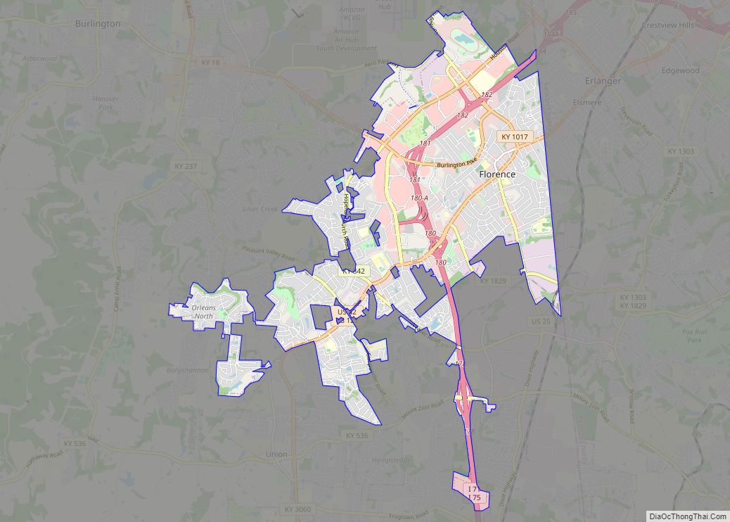
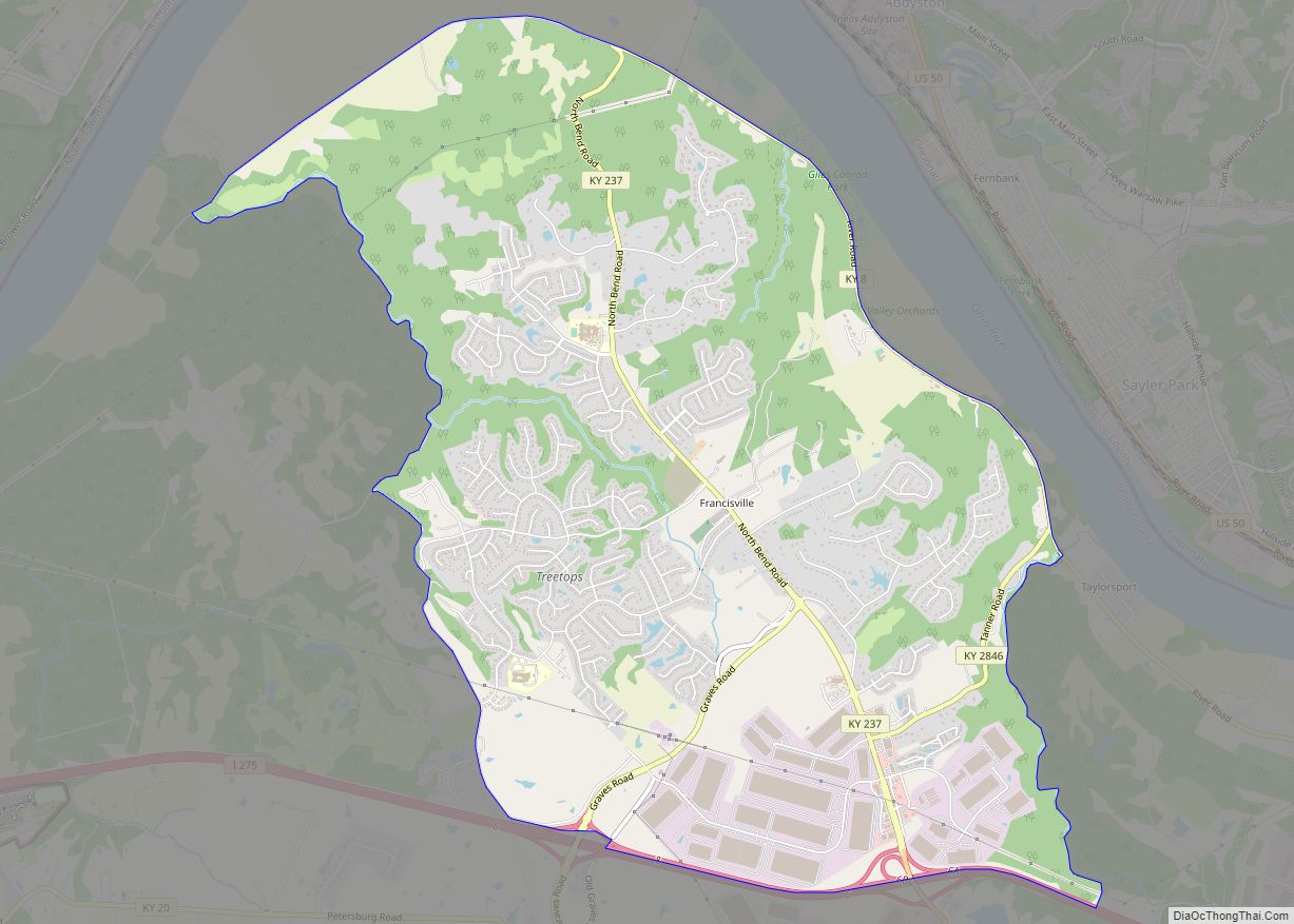
Map of Fordsville city

Map of Fordsville city

Fordsville is a home rule-class city in Ohio County, Kentucky, in the United States. The population was 524 at the 2010 census. Fordsville city overview: Name: Fordsville city LSAD Code: 25 LSAD Description: city (suffix) State: Kentucky County: Ohio County Elevation: 499 ft (152 m) Total Area: 0.45 sq mi (1.16 km²) Land Area: 0.45 sq mi (1.16 km²) Water Area: 0.00 sq mi (0.00 km²) … Read more

Map of Fort Mitchell city

Map of Fort Mitchell city

Fort Mitchell is a home rule-class city in Kenton County, Kentucky, United States. The population was 8,702 at the 2020 census. It is part of the Cincinnati metropolitan area. Fort Mitchell city overview: Name: Fort Mitchell city LSAD Code: 25 LSAD Description: city (suffix) State: Kentucky County: Kenton County Incorporated: February 14, 1910 Elevation: 853 ft … Read more

Map of Fort Knox CDP

Map of Fort Knox CDP

Fort Knox is a United States Army installation in Kentucky, south of Louisville and north of Elizabethtown. It is adjacent to the United States Bullion Depository, which is used to house a large portion of the United States’ official gold reserves, and with which it is often conflated. The 109,000-acre (170 sq mi; 440 km) base covers parts … Read more

Map of Fort Campbell North CDP

Map of Fort Campbell North CDP

Fort Campbell North is a census-designated place (CDP) in Christian County, Kentucky, United States. It contains most of the housing for the Fort Campbell Army base within the Kentucky portion of the base. The population was 13,685 at the 2010 census, down from 14,338 in 2000. Fort Campbell North is part of the Clarksville, Tennessee … Read more

Map of Fountain Run city

Map of Fountain Run city

Fountain Run is a home rule-class city in Monroe County, Kentucky, in the United States. The population was 216 at the 2020 census. Fountain Run city overview: Name: Fountain Run city LSAD Code: 25 LSAD Description: city (suffix) State: Kentucky County: Monroe County Elevation: 791 ft (241 m) Total Area: 1.32 sq mi (3.41 km²) Land Area: 1.32 sq mi (3.41 km²) Water … Read more

Map of Fort Wright city

Map of Fort Wright city

Fort Wright is a home rule-class city in Kenton County, Kentucky, in the United States. The population was 5,723 at the 2010 census. It is part of the Cincinnati metropolitan area. Fort Wright city overview: Name: Fort Wright city LSAD Code: 25 LSAD Description: city (suffix) State: Kentucky County: Kenton County Elevation: 846 ft (258 m) Total … Read more

Map of Fort Thomas city, Kentucky

Map of Fort Thomas city, Kentucky

Fort Thomas is a home rule-class city in Campbell County, Kentucky, United States, on the southern bank of the Ohio River and the site of an 1890 US Army post. The population was 16,325 at the 2010 census, making it the largest city in Campbell County and it is officially part of the Cincinnati – … Read more

Map of Franklin city, Kentucky

Map of Franklin city, Kentucky

Franklin is a home rule-class city in and the county seat of Simpson County, Kentucky, United States. The county is located on the south central border of the state, and its population was 10,176 at the 2020 census. Kentucky Downs, formerly known as Dueling Grounds Racetrack (owned by Corey Johnsen & Ray Reid), is located … Read more

Map of Francisville CDP

Map of Francisville CDP

Francisville is a census-designated place (CDP) in Boone County, Kentucky, United States. Its population was 7,944 as of the 2010 census. Francisville shares ZIP code 41048 with the neighboring CDP of Hebron. It is the northernmost community in the state. Francisville CDP overview: Name: Francisville CDP LSAD Code: 57 LSAD Description: CDP (suffix) State: Kentucky … Read more

Map of Fox Chase city

Map of Fox Chase city, Kentucky

Fox Chase is a home rule-class city in Bullitt County, Kentucky, in the United States. It was formally incorporated by the state assembly in 1983. The population was 447 at the 2010 census. Fox Chase city overview: Name: Fox Chase city LSAD Code: 25 LSAD Description: city (suffix) State: Kentucky County: Bullitt County Elevation: 515 ft … Read more

Map of Frenchburg city

Map of Frenchburg city

Frenchburg is a home rule-class city in Menifee County, Kentucky, in the United States. The population was 601 at the 2020 census, up from 486 in 2010. It is the seat and only incorporated city in its rural county. It is located at the junction of U.S. Route 460 and Kentucky Route 36. Logging is … Read more

Map of Freeburn CDP

Map of Freeburn CDP

Freeburn is a census-designated place, unincorporated community and coal town in Pike County, Kentucky, United States. A post office called Liss was established in the community in 1911. In 1932, it was renamed Freeburn supposedly for a freeburning coal seam fire. Freeburn CDP overview: Name: Freeburn CDP LSAD Code: 57 LSAD Description: CDP (suffix) State: … Read more