Franklin is a home rule-class city in and the county seat of Simpson County, Kentucky, United States. The county is located on the south central border of the state, and its population was 10,176 at the 2020 census.
Kentucky Downs, formerly known as Dueling Grounds Racetrack (owned by Corey Johnsen & Ray Reid), is located in Franklin on the Kentucky–Tennessee border. Kentucky Downs hosts the Kentucky Cup Turf Festival, a full card of world-class horse racing featuring four major turf stakes. Kentucky Downs also hosts year-round simulcasts for the Kentucky-Tennessee market.
| Name: | Franklin city |
|---|---|
| LSAD Code: | 25 |
| LSAD Description: | city (suffix) |
| State: | Kentucky |
| County: | Simpson County |
| Elevation: | 709 ft (216 m) |
| Total Area: | 14.86 sq mi (38.48 km²) |
| Land Area: | 14.75 sq mi (38.19 km²) |
| Water Area: | 0.11 sq mi (0.29 km²) |
| Total Population: | 10,176 |
| Population Density: | 690.04/sq mi (266.43/km²) |
| ZIP code: | 42134-42135 |
| Area code: | 270 & 364 |
| FIPS code: | 2128918 |
| GNISfeature ID: | 0492443 |
| Website: | www.franklinky.org |
Online Interactive Map
Click on ![]() to view map in "full screen" mode.
to view map in "full screen" mode.
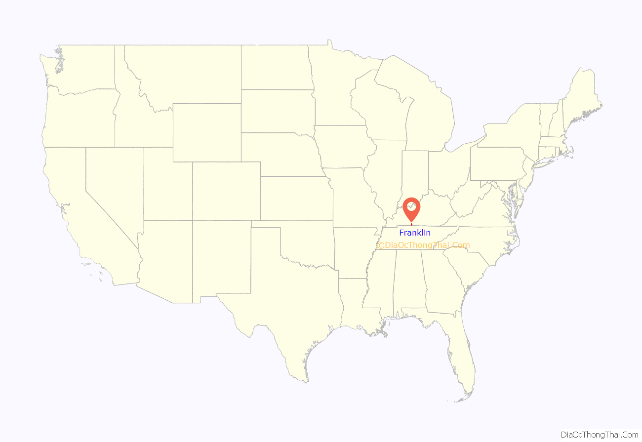
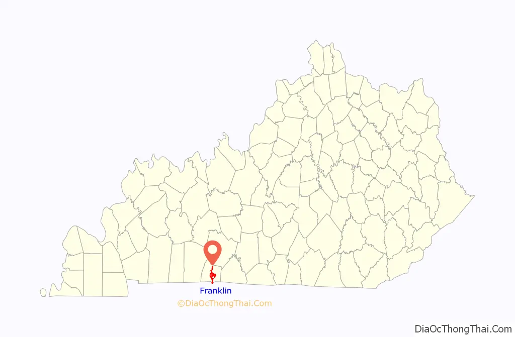
Franklin location map. Where is Franklin city?
History
Franklin was formally incorporated by the state assembly on November 2, 1820, on a 62-acre (250,000 m) tract of land. This tract was purchased from William Hudspeth and was named for Founding Father Benjamin Franklin. The post office was established on September 29, 1822, with Robert W. Simpson as postmaster.
On March 1, 1968, Johnny Cash and June Carter Cash were married at the Franklin First United Methodist church by Reverend Leslie Chapman.
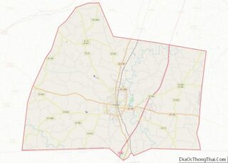
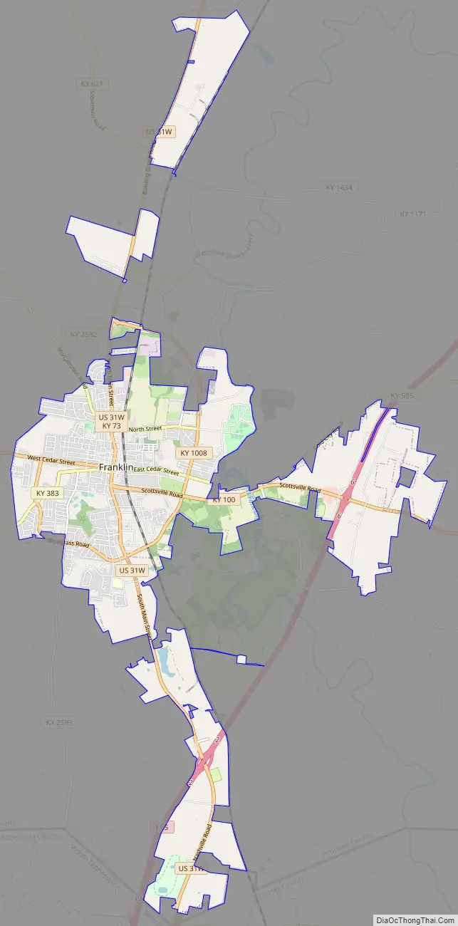
Franklin Road Map
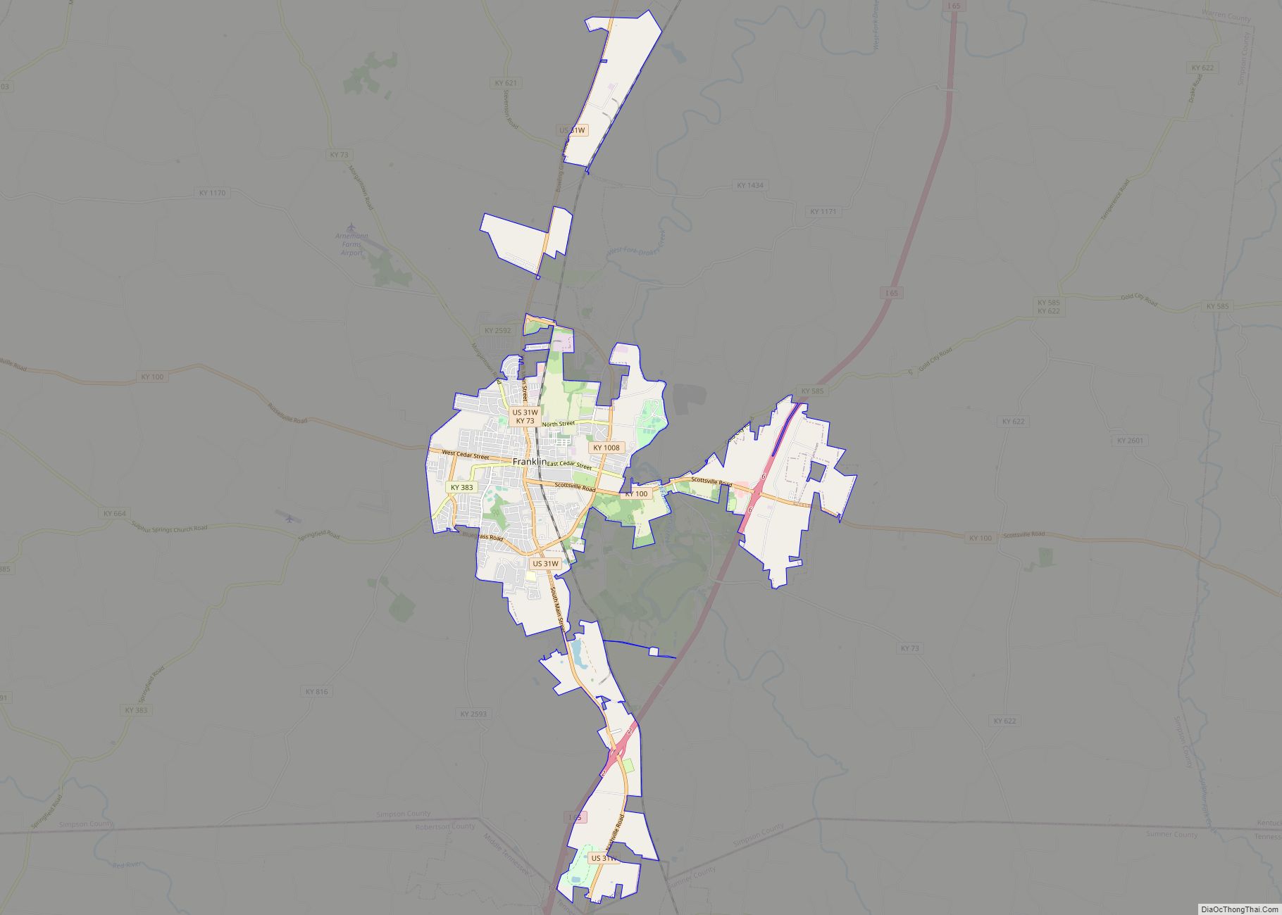
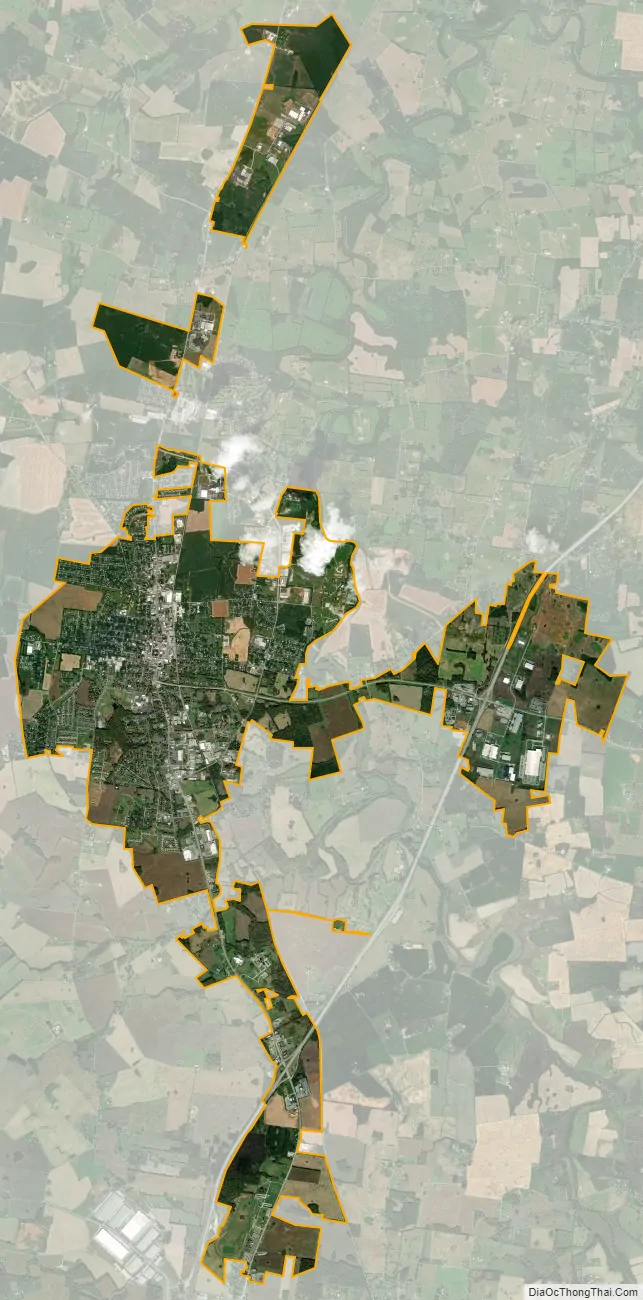
Franklin city Satellite Map
Geography
Franklin is located at 36°43′21″N 86°34′39″W / 36.72250°N 86.57750°W / 36.72250; -86.57750 (36.722487, -86.577566).
According to the United States Census Bureau, the city has a total area of 7.4 square miles (19 km), all land.
See also
Map of Kentucky State and its subdivision:- Adair
- Allen
- Anderson
- Ballard
- Barren
- Bath
- Bell
- Boone
- Bourbon
- Boyd
- Boyle
- Bracken
- Breathitt
- Breckinridge
- Bullitt
- Butler
- Caldwell
- Calloway
- Campbell
- Carlisle
- Carroll
- Carter
- Casey
- Christian
- Clark
- Clay
- Clinton
- Crittenden
- Cumberland
- Daviess
- Edmonson
- Elliott
- Estill
- Fayette
- Fleming
- Floyd
- Franklin
- Fulton
- Gallatin
- Garrard
- Grant
- Graves
- Grayson
- Green
- Greenup
- Hancock
- Hardin
- Harlan
- Harrison
- Hart
- Henderson
- Henry
- Hickman
- Hopkins
- Jackson
- Jefferson
- Jessamine
- Johnson
- Kenton
- Knott
- Knox
- Larue
- Laurel
- Lawrence
- Lee
- Leslie
- Letcher
- Lewis
- Lincoln
- Livingston
- Logan
- Lyon
- Madison
- Magoffin
- Marion
- Marshall
- Martin
- Mason
- McCracken
- McCreary
- McLean
- Meade
- Menifee
- Mercer
- Metcalfe
- Monroe
- Montgomery
- Morgan
- Muhlenberg
- Nelson
- Nicholas
- Ohio
- Oldham
- Owen
- Owsley
- Pendleton
- Perry
- Pike
- Powell
- Pulaski
- Robertson
- Rockcastle
- Rowan
- Russell
- Scott
- Shelby
- Simpson
- Spencer
- Taylor
- Todd
- Trigg
- Trimble
- Union
- Warren
- Washington
- Wayne
- Webster
- Whitley
- Wolfe
- Woodford
- Alabama
- Alaska
- Arizona
- Arkansas
- California
- Colorado
- Connecticut
- Delaware
- District of Columbia
- Florida
- Georgia
- Hawaii
- Idaho
- Illinois
- Indiana
- Iowa
- Kansas
- Kentucky
- Louisiana
- Maine
- Maryland
- Massachusetts
- Michigan
- Minnesota
- Mississippi
- Missouri
- Montana
- Nebraska
- Nevada
- New Hampshire
- New Jersey
- New Mexico
- New York
- North Carolina
- North Dakota
- Ohio
- Oklahoma
- Oregon
- Pennsylvania
- Rhode Island
- South Carolina
- South Dakota
- Tennessee
- Texas
- Utah
- Vermont
- Virginia
- Washington
- West Virginia
- Wisconsin
- Wyoming