Map of Blaine city

Map of Blaine city, Kentucky

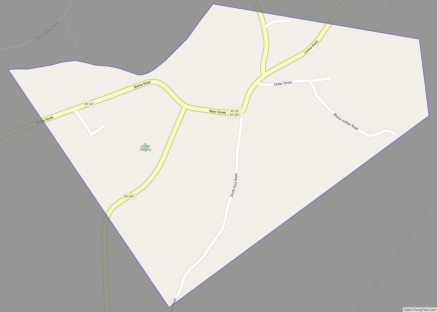
Blaine is a home rule-class city in Lawrence County, Kentucky, United States. The population was 47 at the 2010 census, down from 245 at the 2000 census. Blaine city overview: Name: Blaine city LSAD Code: 25 LSAD Description: city (suffix) State: Kentucky County: Lawrence County Incorporated: March 10, 1886 Elevation: 659 ft (201 m) Total Area: 0.28 sq mi … Read more

Map of Blue Ridge Manor city

Map of Blue Ridge Manor city

Blue Ridge Manor is a home rule-class city in Jefferson County, Kentucky, United States. The city was formally incorporated by the state assembly in 1964. The population was 767 at the 2010 census, up from 623 at the 2000 census. Blue Ridge Manor city overview: Name: Blue Ridge Manor city LSAD Code: 25 LSAD Description: … Read more

Map of Bloomfield city, Kentucky

Map of Bloomfield city, Kentucky

Bloomfield is a home rule–class city in Nelson County, Kentucky, in the United States. The population was 838 during the 2010 U.S. census. Former names of the city included Middlesburg and Gandertown. Bloomfield city overview: Name: Bloomfield city LSAD Code: 25 LSAD Description: city (suffix) State: Kentucky County: Nelson County Incorporated: 1819 Elevation: 676 ft (206 m) … Read more

Map of Blandville city

Map of Blandville city

Blandville is an inactive home rule-class city in Ballard County, Kentucky, in the United States. It was founded in 1842 and named for Captain Bland Ballard, a hero of the War of 1812. It was formally incorporated by the state assembly in 1845. Blandville was the seat of Ballard County from 1842 to 1881, when … Read more

Map of Boston CDP, Kentucky

Map of Boston CDP, Kentucky

Boston is a census-designated place in Nelson County, Kentucky, United States. Boston is along I-65; its ZIP code is 40107. Boston is the home of Mount Moriah Baptist Church, organized in 1802. During 1929–1933, Mount Moriah was pastored by Dr. James L. Sullivan, who went on to be the president of the Baptist Sunday School … Read more

Map of Booneville city, Kentucky

Map of Booneville city, Kentucky

Booneville is a home rule-class city in Owsley County, Kentucky, in the United States. The population was 81 at the 2010 census. It is the county seat of Owsley County. It is located at the junction of Kentucky Route 11 and Kentucky Route 30 on the South Fork of the Kentucky River. Booneville city overview: … Read more

Map of Bonnieville city

Map of Bonnieville city

Bonnieville is a home rule-class city in Hart County, Kentucky, in the United States. The population was 255 at the 2010 census. Bonnieville city overview: Name: Bonnieville city LSAD Code: 25 LSAD Description: city (suffix) State: Kentucky County: Hart County Elevation: 650 ft (198 m) Total Area: 0.58 sq mi (1.49 km²) Land Area: 0.57 sq mi (1.49 km²) Water Area: 0.00 sq mi (0.00 km²) … Read more

Map of Breckinridge Center CDP

Map of Breckinridge Center CDP

Breckinridge Center is a census-designated place (CDP) in Union County, Kentucky, United States. The population was 1,874 at the 2000 census. It is named for the Breckinridge Job Corps Center, now known as the Earle C. Clements Job Corps Center. Breckinridge Center CDP overview: Name: Breckinridge Center CDP LSAD Code: 57 LSAD Description: CDP (suffix) … Read more

Map of Brandenburg city

Map of Brandenburg city

Brandenburg is a home rule-class city on the Ohio River in Meade County, Kentucky, in the United States. The city is 40 miles (64 km) southwest of Louisville. It is the seat of its county. The population was 2,894 at the 2020 census. Brandenburg city overview: Name: Brandenburg city LSAD Code: 25 LSAD Description: city (suffix) … Read more

Map of Bradfordsville city

Map of Bradfordsville city

Bradfordsville is a home rule-class city in Marion County, Kentucky, in the United States. The population was 270 at the time of the 2020 census. Bradfordsville city overview: Name: Bradfordsville city LSAD Code: 25 LSAD Description: city (suffix) State: Kentucky County: Marion County Incorporated: January 30, 1836 Elevation: 699 ft (213 m) Total Area: 0.27 sq mi (0.70 km²) Land … Read more

Map of Brodhead city

Map of Brodhead city, Kentucky

Brodhead is a home rule-class city in Rockcastle County in southeastern Kentucky. The population was 1,211 at the 2010 census. It is part of the Richmond–Berea Micropolitan Statistical Area. Brodhead has been noted for its unusual place name. Brodhead city overview: Name: Brodhead city LSAD Code: 25 LSAD Description: city (suffix) State: Kentucky County: Rockcastle … Read more

Map of Briarwood city

Map of Briarwood city, Kentucky

Briarwood is a home rule-class city in Jefferson County, Kentucky, United States. The population was 435 at the 2010 census, down from 554 at the 2000 census. Briarwood city overview: Name: Briarwood city LSAD Code: 25 LSAD Description: city (suffix) State: Kentucky County: Jefferson County Elevation: 623 ft (190 m) Total Area: 0.10 sq mi (0.25 km²) Land Area: 0.10 sq mi … Read more