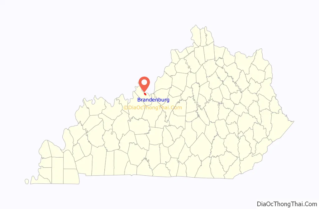
Brandenburg is a home rule-class city on the Ohio River in Meade County, Kentucky, in the United States. The city is 40 miles (64 km) southwest of Louisville. It is the seat of its county. The population was 2,894 at the 2020 census.
| Name: | Brandenburg city |
|---|---|
| LSAD Code: | 25 |
| LSAD Description: | city (suffix) |
| State: | Kentucky |
| County: | Meade County |
| Elevation: | 568 ft (173 m) |
| Total Area: | 4.11 sq mi (10.65 km²) |
| Land Area: | 4.09 sq mi (10.61 km²) |
| Water Area: | 0.02 sq mi (0.05 km²) |
| Total Population: | 2,894 |
| Population Density: | 706.72/sq mi (272.84/km²) |
| ZIP code: | 40108 |
| Area code: | 270 & 364 |
| FIPS code: | 2109226 |
| GNISfeature ID: | 0487822 |
| Website: | www.brandenburgky.org |
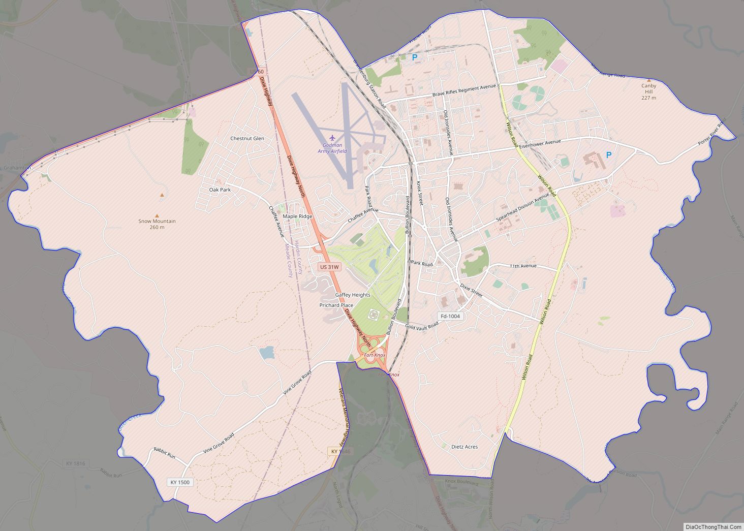
Online Interactive Map
Click on ![]() to view map in "full screen" mode.
to view map in "full screen" mode.
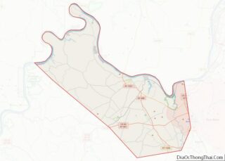
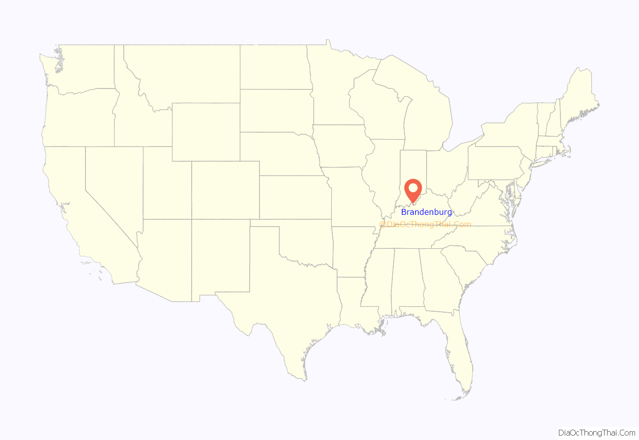
Brandenburg location map. Where is Brandenburg city?
History
Brandenburg was built on a 3,000-acre (12 km) tract of land called “Falling Springs”, purchased in 1804 by Solomon Brandenburg. He opened a tavern around which the community grew. In 1825, the community became the seat of Meade County, but it wasn’t formally incorporated by the state assembly until March 28, 1872.
During the Civil War, Confederate General John Hunt Morgan crossed at Brandenburg to start his raid into Indiana in July 1863. During the Battle of Brandenburg Crossing, two men on the Indiana side of the river were killed by cannon fire from Brandenburg. A Union gunship was deployed to block the crossing, but it ran out of ammunition and Morgan and his men were able to pass into Indiana.
Brandenburg was devastated by an F5 tornado during the Super Outbreak of April 3, 1974. The tornado had touched down near Hardinsburg and as it moved to the northeast grew into a half-mile wide wedge tornado, striking Brandenburg head on. The tornado killed 31 people and injured 270, with all but three of the fatalities and most of the injuries occurring at Brandenburg. 128 homes and 30 businesses were also destroyed. There was no early warning from tornado sirens or NOAA Weather Wire Service about the storm. About an hour after the storm, the same supercell spawned an F4 tornado that formed in the southwest part of Louisville in Jefferson County near Kosmosdale. Three people lost their lives in this storm, but it also left two hundred and seven injuries. The Brandenburg tornado remains as the only F5/EF5 tornado in Kentucky state history since official record keeping began in 1950, although later that day another F5 that hit Cincinnati, Ohio crossed the Ohio River from Indiana into Kentucky then into Ohio.
The Confederate Monument in Louisville was relocated to Brandenburg in late 2017 and rededicated in 2018.
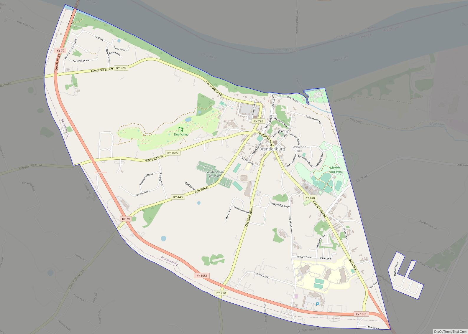
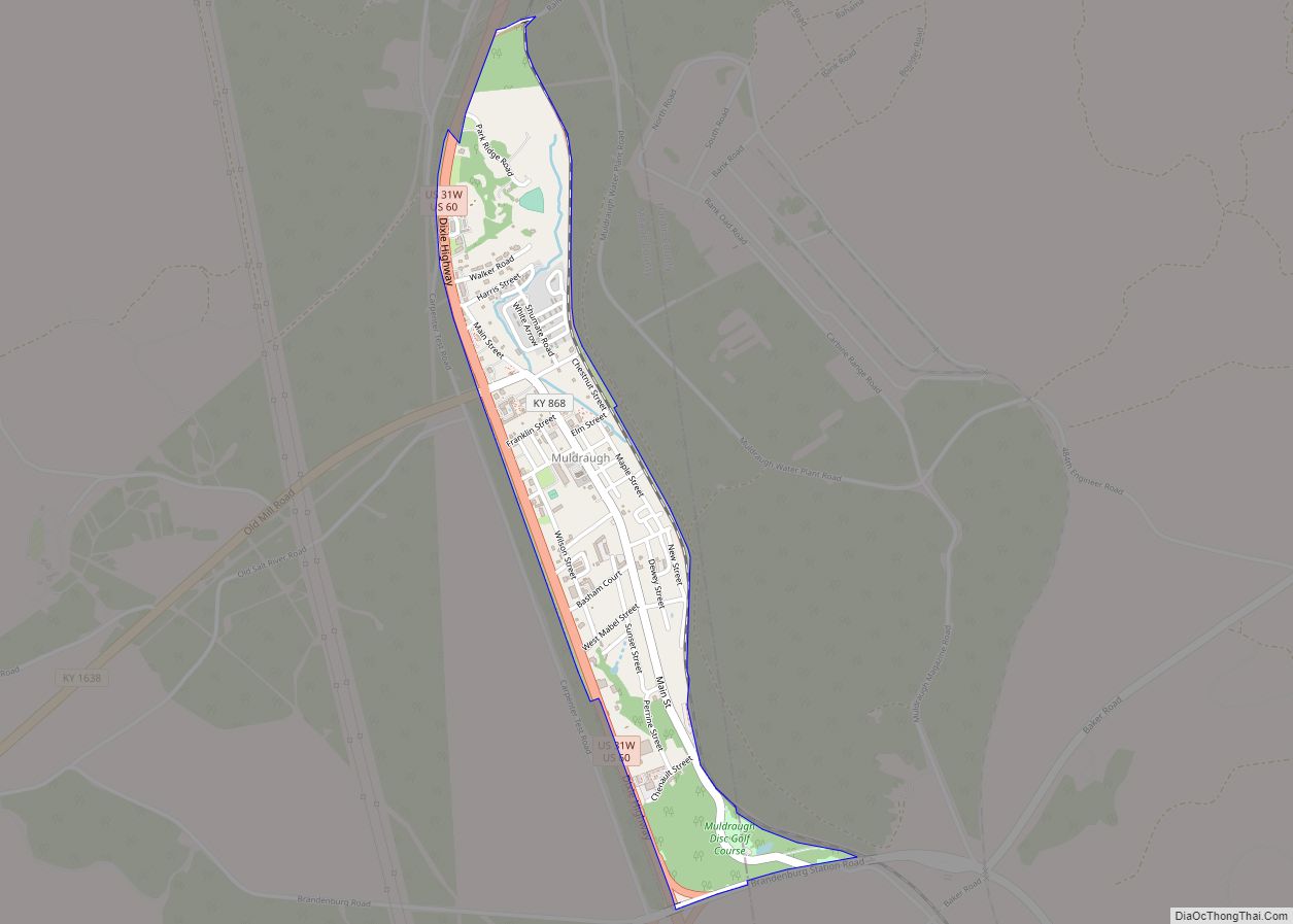
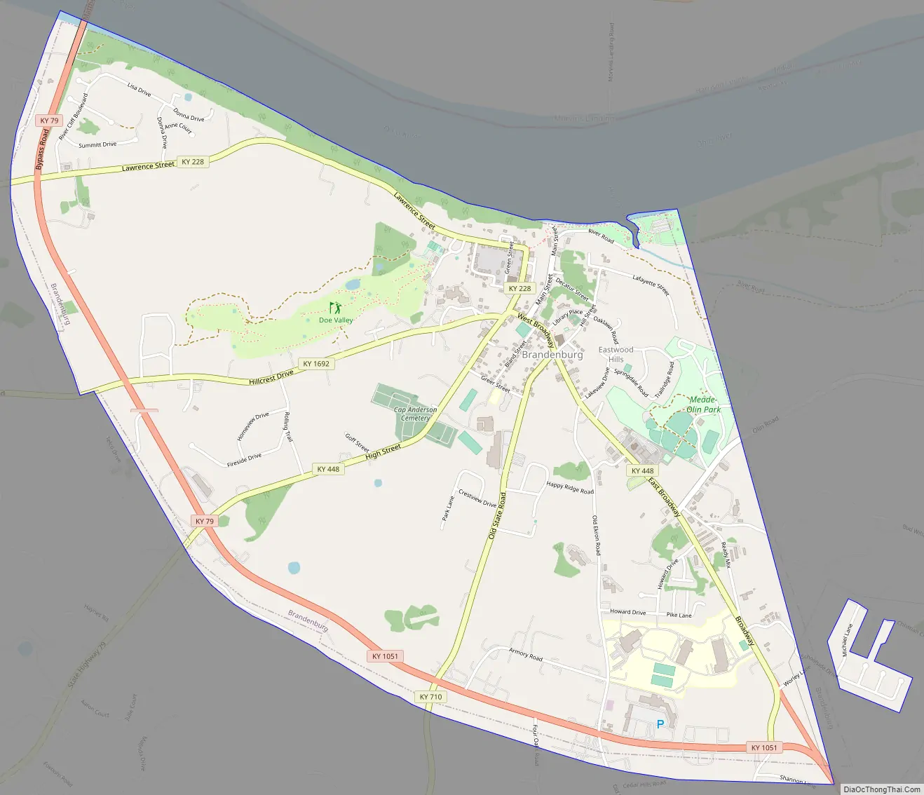
Brandenburg Road Map
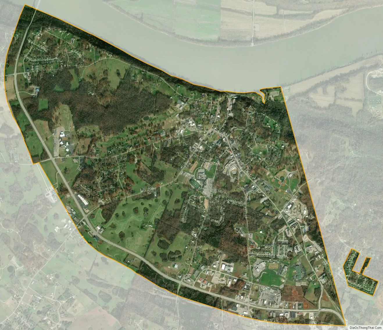
Brandenburg city Satellite Map
Geography
Brandenburg is located in north-central Meade County at 37°59′34″N 86°10′29″W / 37.99278°N 86.17472°W / 37.99278; -86.17472 (37.992664, -86.174657), along the south bank of the Ohio River. The Matthew E. Welsh Bridge connects Brandenburg with Mauckport across the river in Indiana. According to the United States Census Bureau, the city has a total area of 4.11 square miles (10.6 km), of which 0.02 square miles (0.05 km), or 0.44%, are water.
See also
Map of Kentucky State and its subdivision:- Adair
- Allen
- Anderson
- Ballard
- Barren
- Bath
- Bell
- Boone
- Bourbon
- Boyd
- Boyle
- Bracken
- Breathitt
- Breckinridge
- Bullitt
- Butler
- Caldwell
- Calloway
- Campbell
- Carlisle
- Carroll
- Carter
- Casey
- Christian
- Clark
- Clay
- Clinton
- Crittenden
- Cumberland
- Daviess
- Edmonson
- Elliott
- Estill
- Fayette
- Fleming
- Floyd
- Franklin
- Fulton
- Gallatin
- Garrard
- Grant
- Graves
- Grayson
- Green
- Greenup
- Hancock
- Hardin
- Harlan
- Harrison
- Hart
- Henderson
- Henry
- Hickman
- Hopkins
- Jackson
- Jefferson
- Jessamine
- Johnson
- Kenton
- Knott
- Knox
- Larue
- Laurel
- Lawrence
- Lee
- Leslie
- Letcher
- Lewis
- Lincoln
- Livingston
- Logan
- Lyon
- Madison
- Magoffin
- Marion
- Marshall
- Martin
- Mason
- McCracken
- McCreary
- McLean
- Meade
- Menifee
- Mercer
- Metcalfe
- Monroe
- Montgomery
- Morgan
- Muhlenberg
- Nelson
- Nicholas
- Ohio
- Oldham
- Owen
- Owsley
- Pendleton
- Perry
- Pike
- Powell
- Pulaski
- Robertson
- Rockcastle
- Rowan
- Russell
- Scott
- Shelby
- Simpson
- Spencer
- Taylor
- Todd
- Trigg
- Trimble
- Union
- Warren
- Washington
- Wayne
- Webster
- Whitley
- Wolfe
- Woodford
- Alabama
- Alaska
- Arizona
- Arkansas
- California
- Colorado
- Connecticut
- Delaware
- District of Columbia
- Florida
- Georgia
- Hawaii
- Idaho
- Illinois
- Indiana
- Iowa
- Kansas
- Kentucky
- Louisiana
- Maine
- Maryland
- Massachusetts
- Michigan
- Minnesota
- Mississippi
- Missouri
- Montana
- Nebraska
- Nevada
- New Hampshire
- New Jersey
- New Mexico
- New York
- North Carolina
- North Dakota
- Ohio
- Oklahoma
- Oregon
- Pennsylvania
- Rhode Island
- South Carolina
- South Dakota
- Tennessee
- Texas
- Utah
- Vermont
- Virginia
- Washington
- West Virginia
- Wisconsin
- Wyoming