Cut Off (historically named La Coupe) is a census-designated place (CDP) on the Bayou Lafourche in Lafourche Parish, Louisiana, United States. The population was 5,533 in 2020. It is part of the Houma–Bayou Cane–Thibodaux metropolitan statistical area. Cut Off’s ZIP code is 70345, the area code is 985 and local telephone prefixes are 325, 632 ... Read more
Louisiana Cities and Places
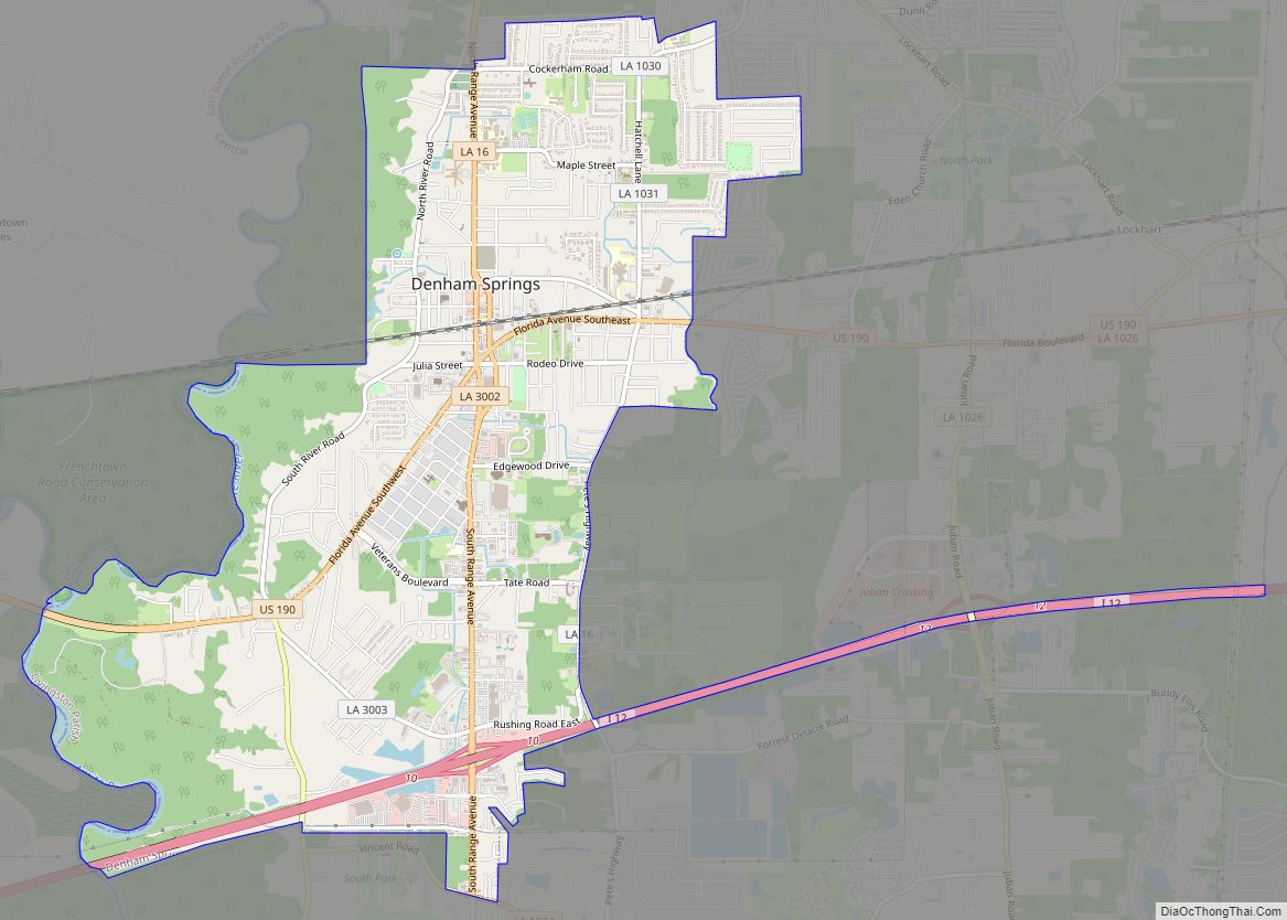
Denham Springs is a city in Livingston Parish, Louisiana, United States. The 2010 U.S. census placed the population at 10,215, up from 8,757 at the 2000 U. S. census. At the 2020 United States census, 9,286 people lived in the city. The city is the largest area of commercial and residential development in Livingston Parish. ... Read more
Delta is a village in Madison Parish, Louisiana, United States. The population was 239 at the 2000 census. It is part of the Tallulah Micropolitan Statistical Area. As the birthplace of African-American entrepreneur Madam C.J. Walker, the first American woman to become a millionaire by her own business achievements, it has been included as one ... Read more
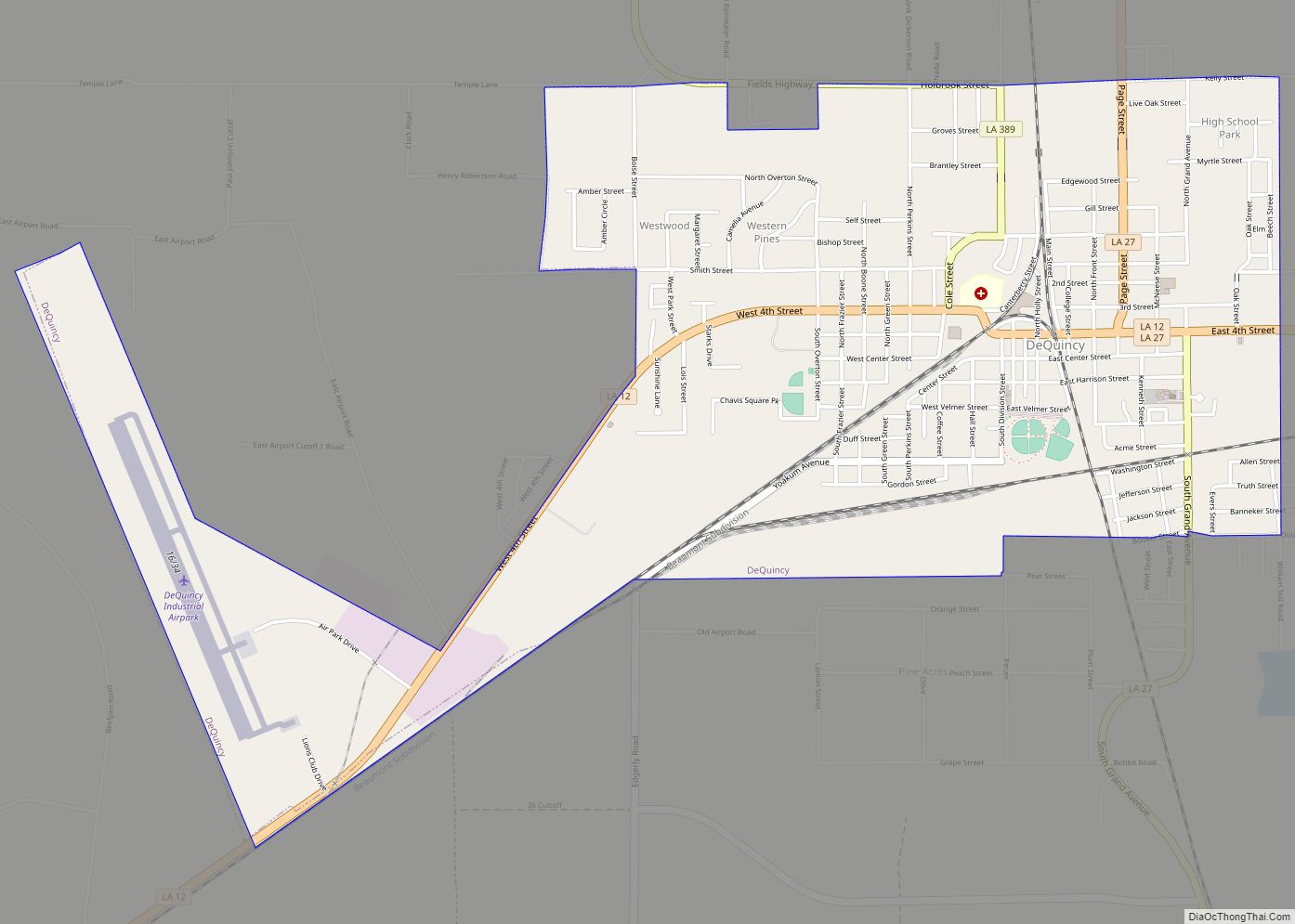
DeQuincy is the northernmost city in Calcasieu Parish, Louisiana, United States. The population was 3,235 at the 2010 census. DeQuincy is part of the Lake Charles metropolitan statistical area. DeQuincy city overview: Name: DeQuincy city LSAD Code: 25 LSAD Description: city (suffix) State: Louisiana County: Calcasieu Parish Elevation: 79 ft (24 m) Total Area: 3.19 sq mi (8.27 km²) Land ... Read more
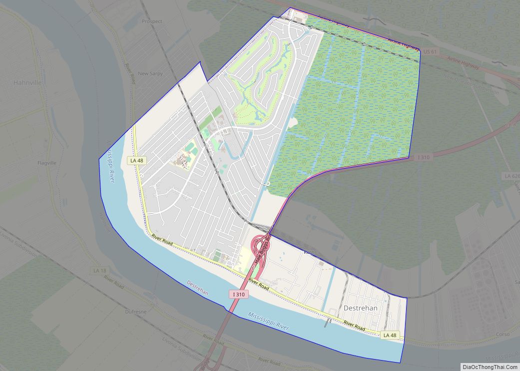
Destrehan is a census-designated place (CDP) in St. Charles Parish, Louisiana, United States. At the 2020 census, its population was 11,340. Destrehan CDP overview: Name: Destrehan CDP LSAD Code: 57 LSAD Description: CDP (suffix) State: Louisiana County: St. Charles Parish Elevation: 10 ft (3 m) Total Area: 6.98 sq mi (18.07 km²) Land Area: 5.97 sq mi (15.46 km²) Water Area: 1.01 sq mi (2.61 km²) ... Read more
Des Allemands is an unincorporated community and census-designated place (CDP) in Lafourche and St. Charles parishes in the southeastern part of the U.S. state of Louisiana. The population was 2,179 at the 2020 census. The town, known as the “Catfish Capital of the Universe”, is along the Bayou des Allemands, which is the boundary of ... Read more
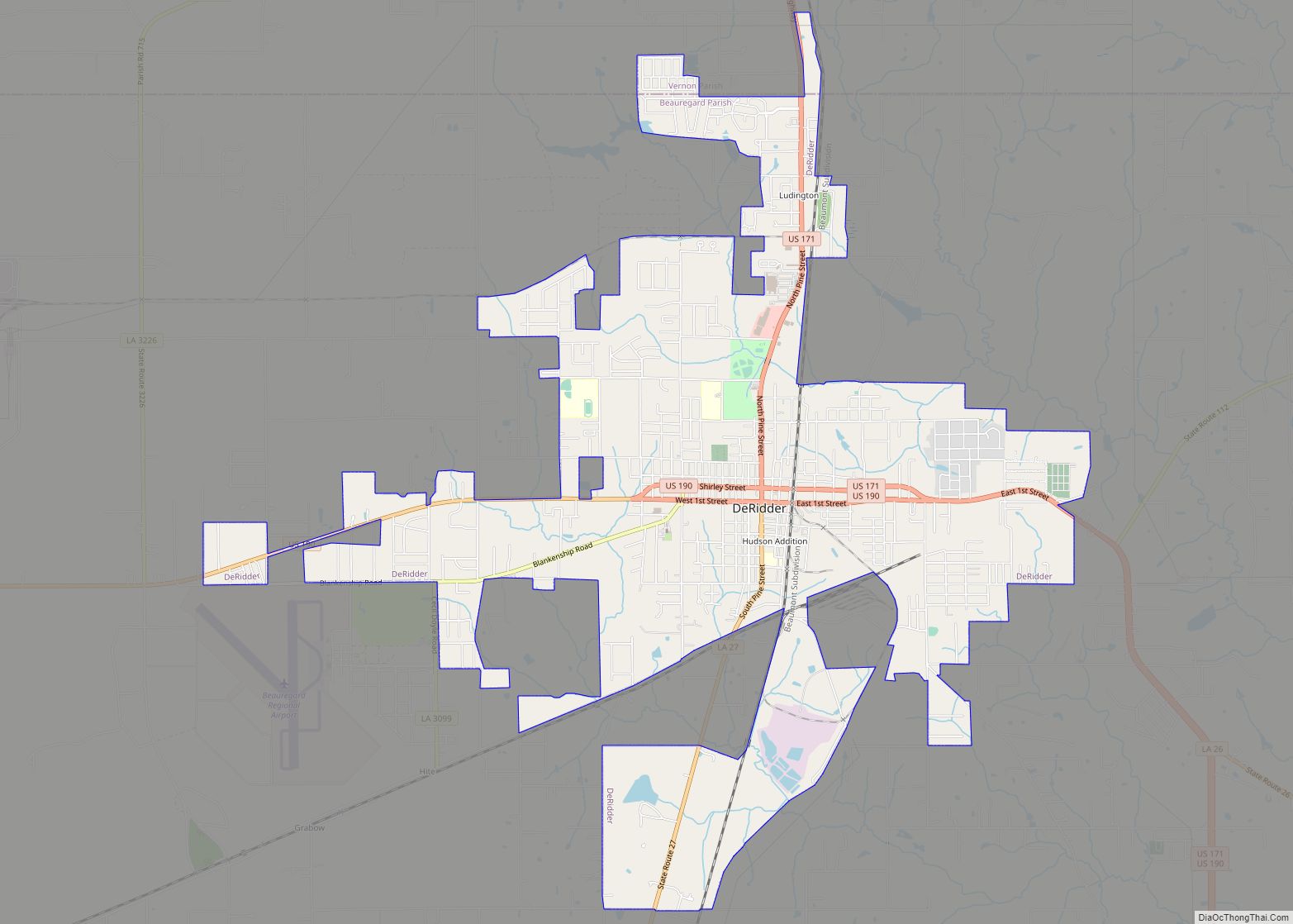
DeRidder is a city in, and the parish seat of, Beauregard Parish, Louisiana, United States. A small portion of the city extends into Vernon Parish. As of the 2010 census DeRidder had a population of 10,578. It is the smaller principal city of the Fort Polk South-DeRidder CSA, a Combined Statistical Area that includes the ... Read more
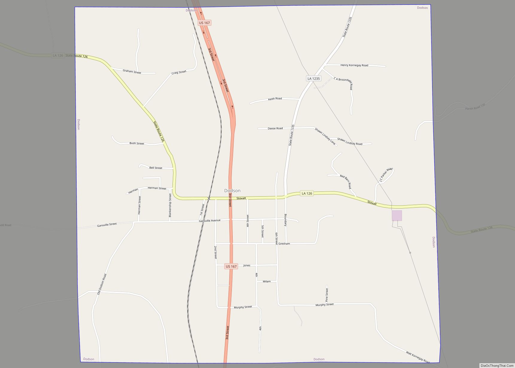
Dodson is a village in Winn Parish, Louisiana, United States. The population was 357 at the 2000 census, which decreased to 337 in 2010. Dodson village overview: Name: Dodson village LSAD Code: 47 LSAD Description: village (suffix) State: Louisiana County: Winn Parish Elevation: 259 ft (79 m) Total Area: 2.25 sq mi (5.84 km²) Land Area: 2.25 sq mi (5.84 km²) Water Area: ... Read more
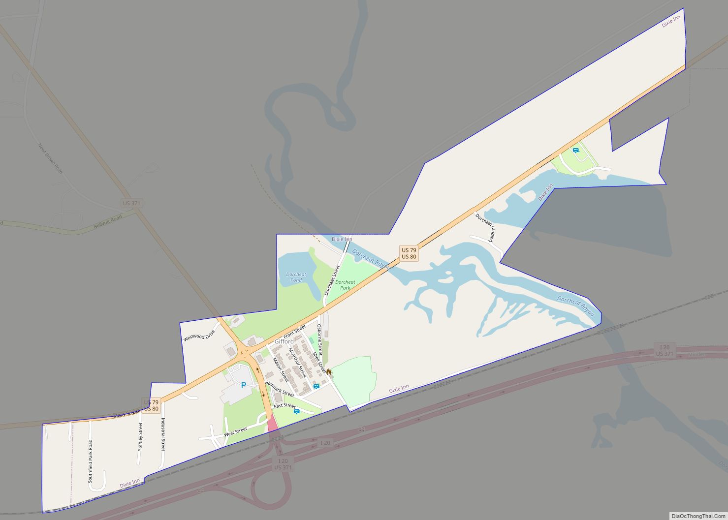
Dixie Inn is a village in Webster Parish, Louisiana, United States. The population was 352 at the 2000 census. It is located off Interstate 20 at the old Shreveport Road, some twenty-six miles east of Shreveport. Minden, the seat of Webster Parish, is located some three miles to the east. Dixie Inn is part of ... Read more
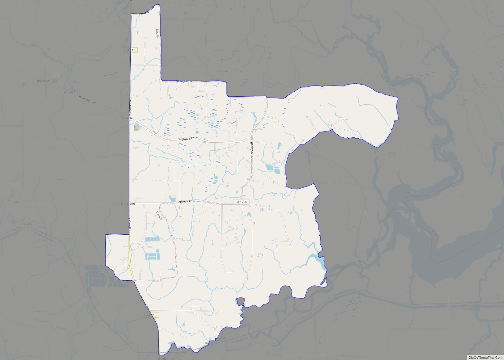
Deville is a census-designated place (CDP) in Rapides Parish, Louisiana, United States. It is part of the Alexandria, Louisiana Metropolitan Statistical Area. The population was 1,007 at the 2000 census. Deville CDP overview: Name: Deville CDP LSAD Code: 57 LSAD Description: CDP (suffix) State: Louisiana County: Rapides Parish Elevation: 75 ft (23 m) Total Area: 13.23 sq mi (34.27 km²) ... Read more
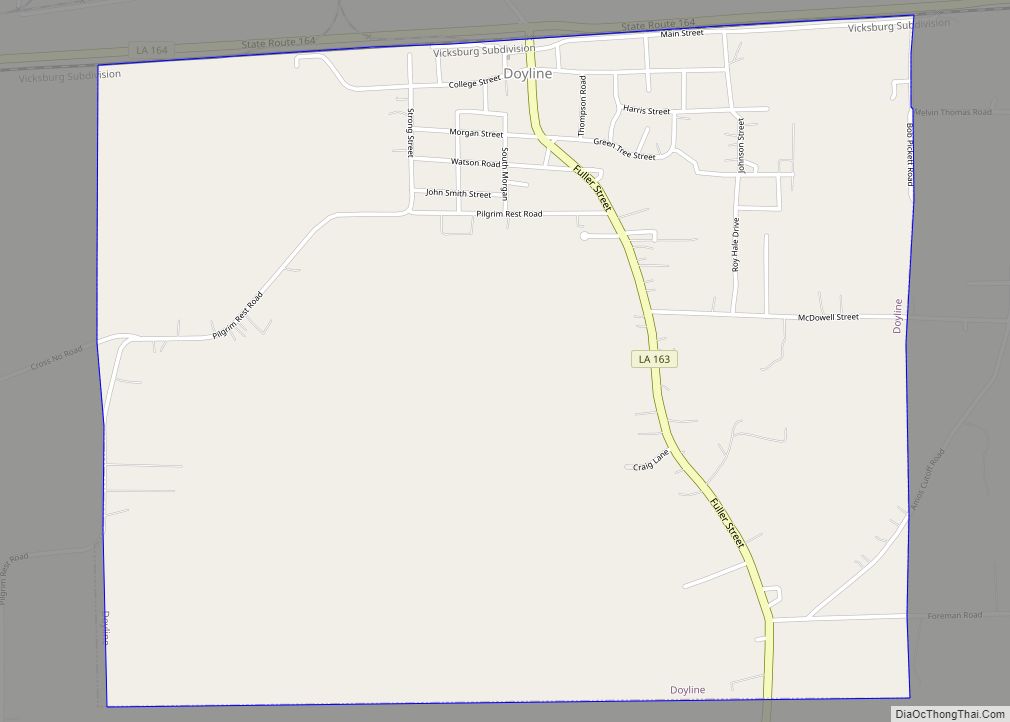
Doyline is a village in southwestern Webster Parish in northwestern Louisiana, United States. The population was 818 at the 2010 census. It is part of the Minden Micropolitan Statistical Area. Under a cited cost-saving realignment plan, the Webster Parish School Board closed Union Elementary School in Doyline in 2011, as Doyline High School absorbed the ... Read more
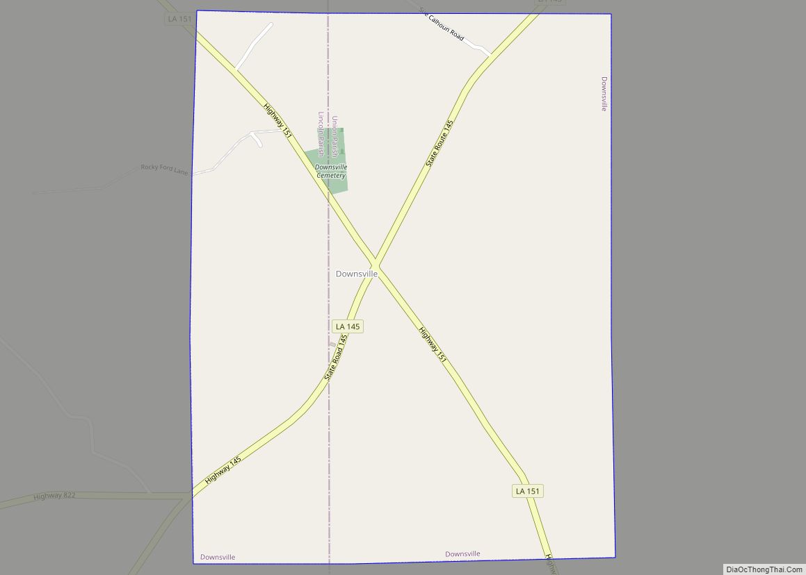
Downsville is a village in Lincoln and Union parishes in the U.S. state of Louisiana. The population as of the 2010 census was 143, an increase from 118 in the 2000 census. The Lincoln Parish portion of Downsville is part of the Ruston Micropolitan Statistical Area, while the Union Parish portion is part of the ... Read more

