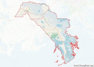
Des Allemands is an unincorporated community and census-designated place (CDP) in Lafourche and St. Charles parishes in the southeastern part of the U.S. state of Louisiana. The population was 2,179 at the 2020 census. The town, known as the “Catfish Capital of the Universe”, is along the Bayou des Allemands, which is the boundary of Lafourche and St. Charles parishes. Lac des Allemands is located northwest of the town. The ZIP code for Des Allemands is 70030.
The St. Charles Parish portion of Des Allemands is part of the New Orleans metropolitan statistical area, while the Lafourche Parish portion is part of the Houma–Bayou Cane–Thibodaux metropolitan statistical area.
| Name: | Des Allemands CDP |
|---|---|
| LSAD Code: | 57 |
| LSAD Description: | CDP (suffix) |
| State: | Louisiana |
| County: | Lafourche Parish, St. Charles Parish |
| Elevation: | 3 ft (0.9 m) |
| Total Area: | 12.23 sq mi (31.69 km²) |
| Land Area: | 9.95 sq mi (25.77 km²) |
| Water Area: | 2.29 sq mi (5.92 km²) |
| Total Population: | 2,179 |
| Population Density: | 219.02/sq mi (84.56/km²) |
| ZIP code: | 70030 |
| Area code: | 985 |
| FIPS code: | 2220680 |
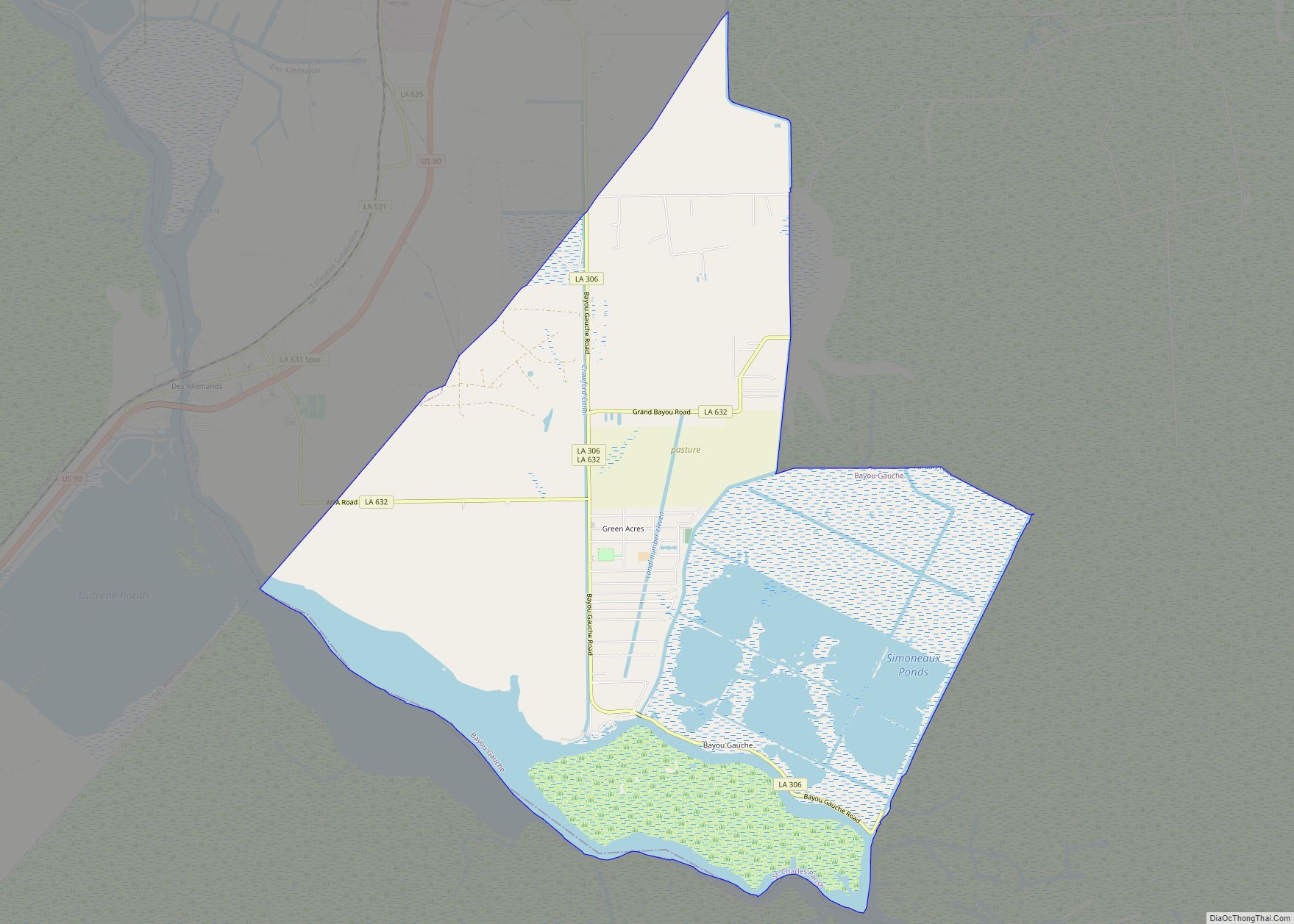
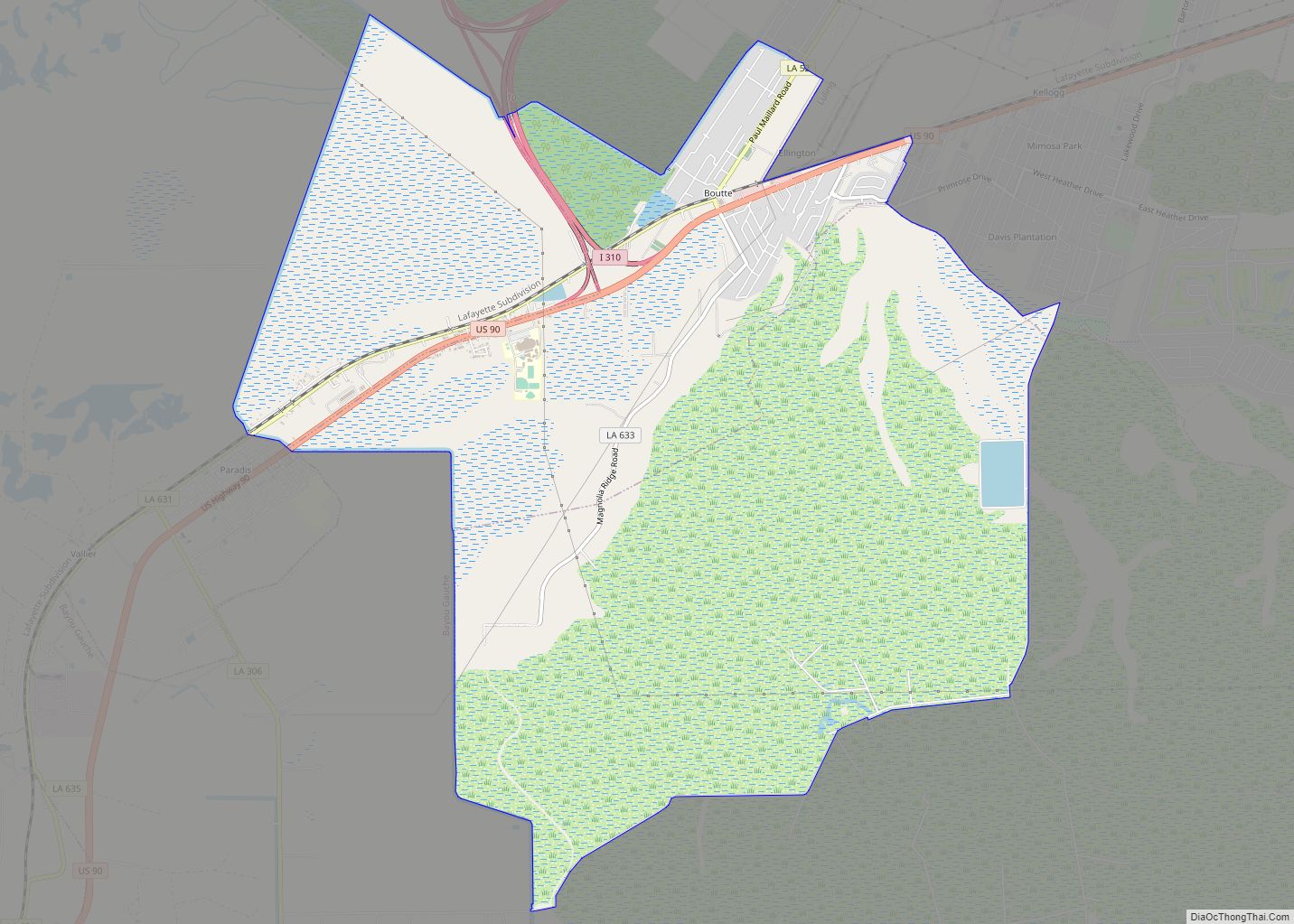
Online Interactive Map
Click on ![]() to view map in "full screen" mode.
to view map in "full screen" mode.
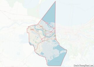
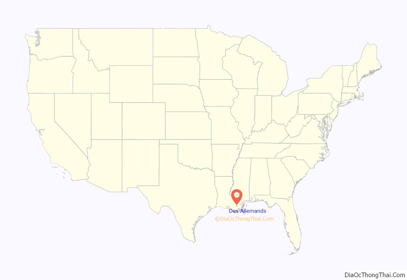
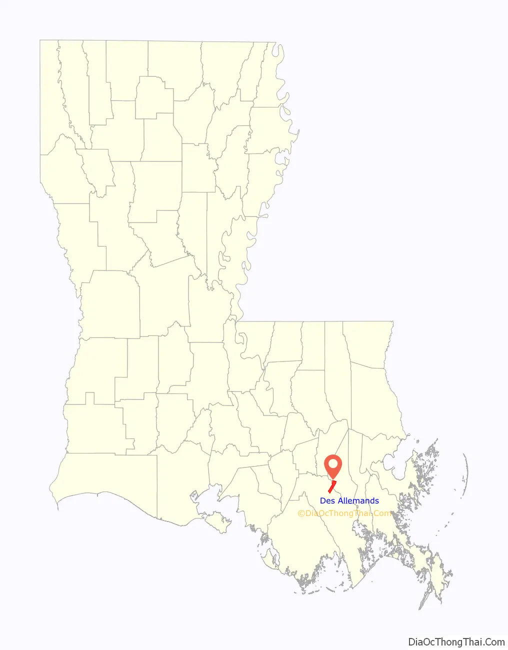
Des Allemands location map. Where is Des Allemands CDP?
History
In 1721, John Law and the Company of the Indies settled Germans along the Mississippi River, north of Ouachas Lake. The area of the Germans was called les Allemands (the Germans) or Karlstein. The German Coast was in present-day St. Charles & St. John the Baptist Parishes. Des Allemands means “of the Germans” in French.
The German Louisiana colony was originally up the Mississippi River at the Arkansas Post. But they experienced hostility from the Native Americans in that area, and moved to a location much closer to the colonial capital of New Orleans.
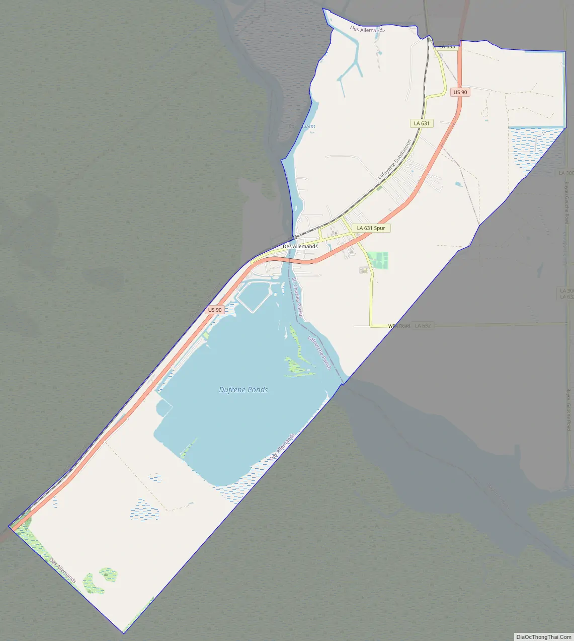
Des Allemands Road Map
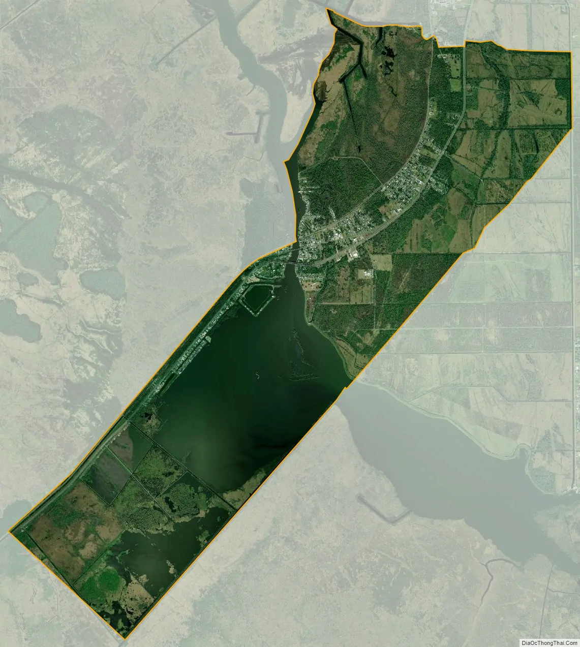
Des Allemands city Satellite Map
Geography
Des Allemands is located in southern St. Charles Parish and northeastern Lafourche Parish at 29°49′32″N 90°28′9″W / 29.82556°N 90.46917°W / 29.82556; -90.46917 (29.825570, -90.469163). It is bordered to the north by the Paradis CDP and to the southeast by the Bayou Gauche CDP.
U.S. Route 90 crosses Bayou des Allemands at this point; the four-lane highway leads northeast 34 miles (55 km) to New Orleans and west 51 miles (82 km) to Morgan City. Bayou Des Allemands runs northwest 5 miles (8 km) to Lac des Allemands and southeast 13 miles (21 km) to Lake Salvador.
According to the United States Census Bureau, the Des Allemands CDP has a total area of 12.2 square miles (31.7 km), of which 10.0 square miles (25.8 km) are land and 2.3 square miles (5.9 km), or 18.68%, are water.
See also
Map of Louisiana State and its subdivision:- Acadia
- Allen
- Ascension
- Assumption
- Avoyelles
- Beauregard
- Bienville
- Bossier
- Caddo
- Calcasieu
- Caldwell
- Cameron
- Catahoula
- Claiborne
- Concordia
- De Soto
- East Baton Rouge
- East Carroll
- East Feliciana
- Evangeline
- Franklin
- Grant
- Iberia
- Iberville
- Jackson
- Jefferson
- Jefferson Davis
- La Salle
- Lafayette
- Lafourche
- Lincoln
- Livingston
- Madison
- Morehouse
- Natchitoches
- Orleans
- Ouachita
- Plaquemines
- Pointe Coupee
- Rapides
- Red River
- Richland
- Sabine
- Saint Bernard
- Saint Charles
- Saint Helena
- Saint James
- Saint John the Baptist
- Saint Landry
- Saint Martin
- Saint Mary
- Saint Tammany
- Tangipahoa
- Tensas
- Terrebonne
- Union
- Vermilion
- Vernon
- Washington
- Webster
- West Baton Rouge
- West Carroll
- West Feliciana
- Winn
- Alabama
- Alaska
- Arizona
- Arkansas
- California
- Colorado
- Connecticut
- Delaware
- District of Columbia
- Florida
- Georgia
- Hawaii
- Idaho
- Illinois
- Indiana
- Iowa
- Kansas
- Kentucky
- Louisiana
- Maine
- Maryland
- Massachusetts
- Michigan
- Minnesota
- Mississippi
- Missouri
- Montana
- Nebraska
- Nevada
- New Hampshire
- New Jersey
- New Mexico
- New York
- North Carolina
- North Dakota
- Ohio
- Oklahoma
- Oregon
- Pennsylvania
- Rhode Island
- South Carolina
- South Dakota
- Tennessee
- Texas
- Utah
- Vermont
- Virginia
- Washington
- West Virginia
- Wisconsin
- Wyoming