DeRidder is a city in, and the parish seat of, Beauregard Parish, Louisiana, United States. A small portion of the city extends into Vernon Parish. As of the 2010 census DeRidder had a population of 10,578. It is the smaller principal city of the Fort Polk South-DeRidder CSA, a Combined Statistical Area that includes the Fort Polk South (Vernon Parish) and DeRidder (Beauregard Parish) micropolitan areas, which had a combined population of 87,988 at the 2010 census.
| Name: | DeRidder city |
|---|---|
| LSAD Code: | 25 |
| LSAD Description: | city (suffix) |
| State: | Louisiana |
| County: | Beauregard Parish, Vernon Parish |
| Incorporated: | 1903 |
| Elevation: | 203 ft (62 m) |
| Total Area: | 9.38 sq mi (24.29 km²) |
| Land Area: | 9.29 sq mi (24.06 km²) |
| Water Area: | 0.09 sq mi (0.23 km²) |
| Total Population: | 9,852 |
| Population Density: | 1,060.50/sq mi (409.44/km²) |
| ZIP code: | 70634 |
| Area code: | 337 |
| FIPS code: | 2220610 |
| Website: | www.cityofderidder.org |
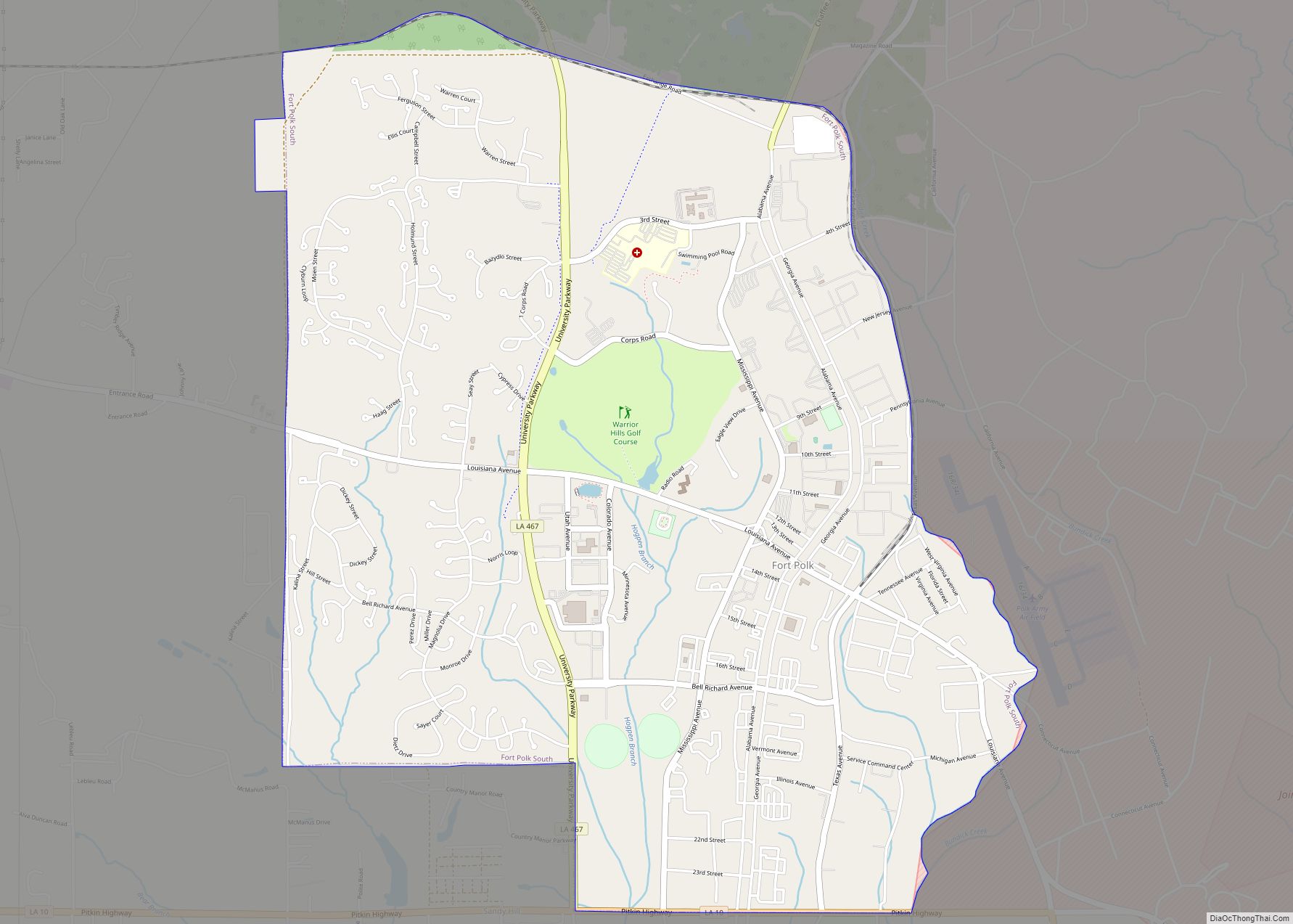
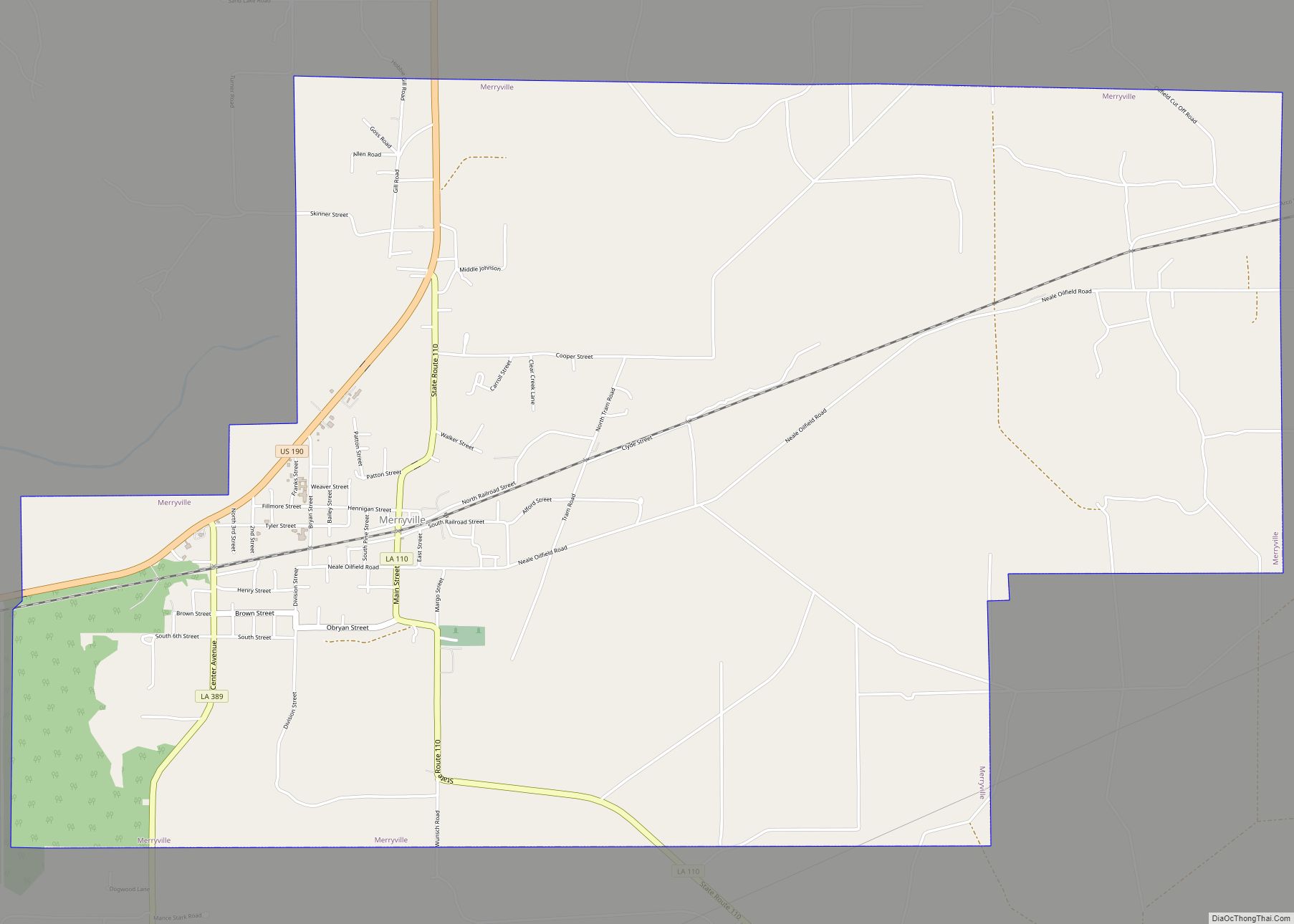
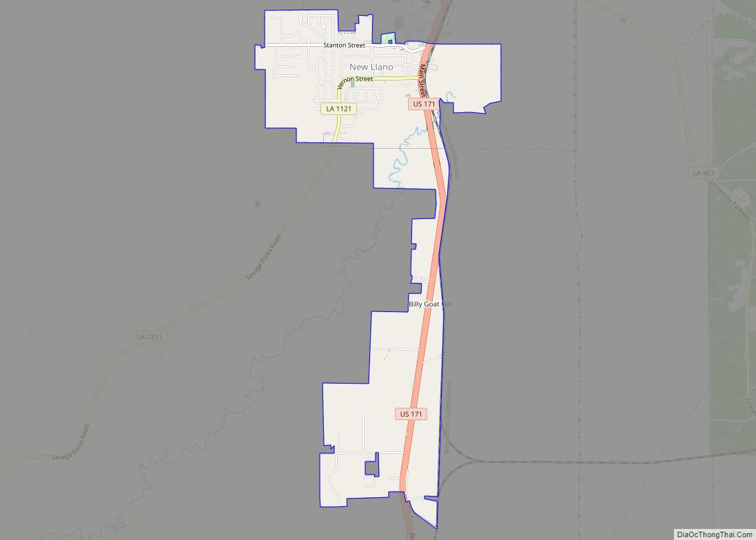
Online Interactive Map
Click on ![]() to view map in "full screen" mode.
to view map in "full screen" mode.
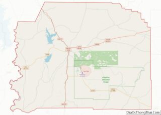
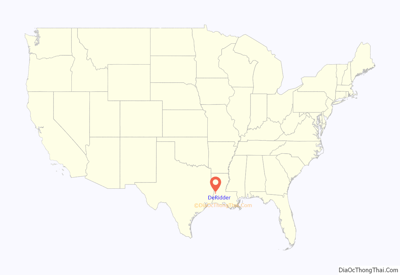
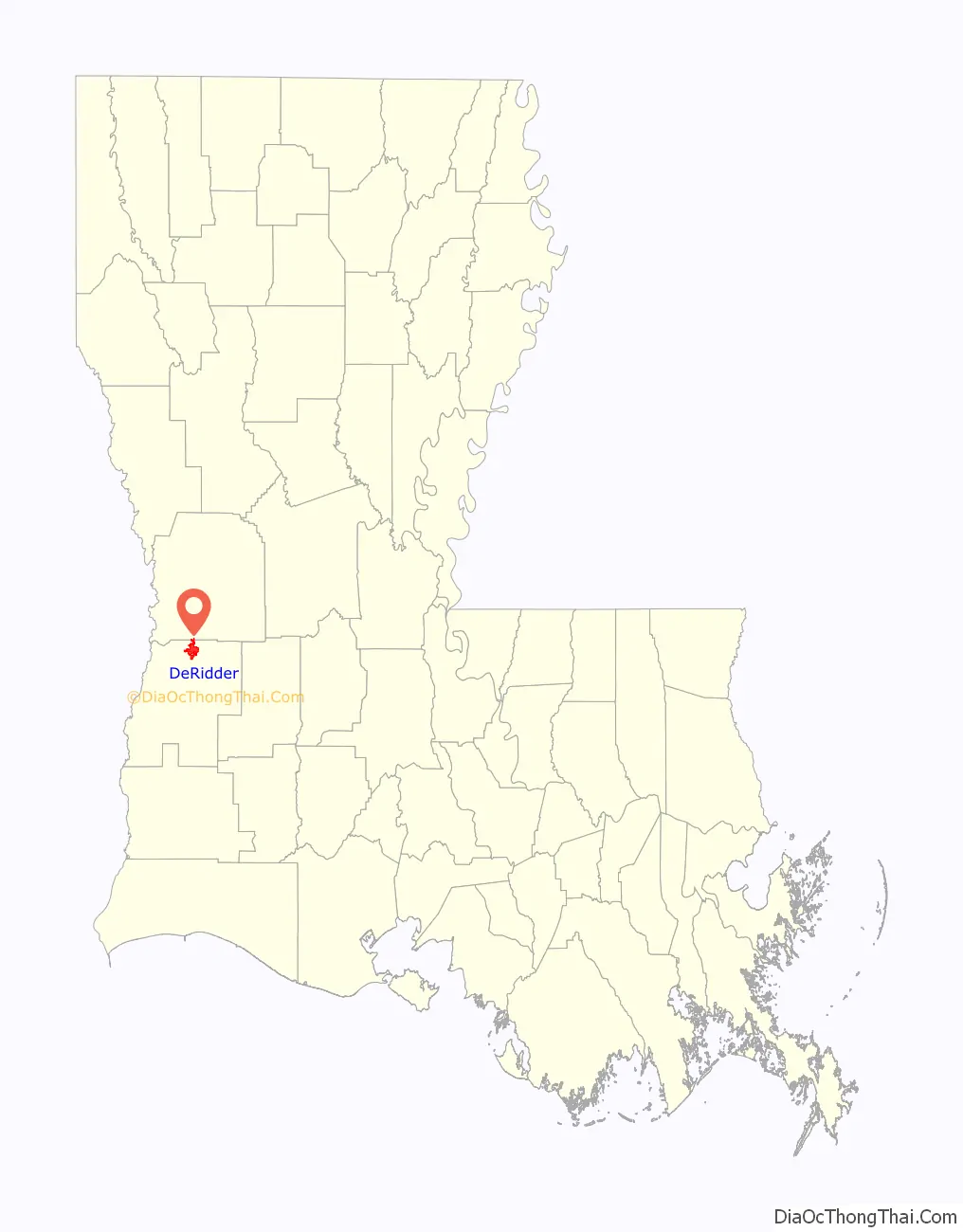
DeRidder location map. Where is DeRidder city?
History
DeRidder was named for Ella de Ridder, the sister-in-law of a Dutch railroad financier, Jan de Goeijen (cf. De Queen, Arkansas). Her family originally came from the small town of Geldermalsen in the Netherlands, where she was one of 13 children. She ran away from home at an early age and was presumed dead by her family, who only later discovered that she had traveled to the United States. The town was named for her by her brother-in-law, who brought the first railroad to that area of Louisiana. Prior to that, the little town was known as Schovall. The first train line to serve DeRidder came in 1897. It was the Pittsburgh & Gulf Railroad, later called the Kansas City Southern.
The July 26, 1924, the DeRidder Enterprise stated: “The first house in DeRidder was made of logs and covered with board shingles, split by hand from the logs of the forest. It was constructed in 1893 and was the old homestead house of Calvin Shirley, who was the original owner of the land upon which the first business house and residence of DeRidder were built. Mr. Shirley homesteaded the 160 acres (0.65 km) which was later platted and became the original townsite of DeRidder.”
According to Eva Stewart Frazar, whose family came to DeRidder near the turn of the century, “The largest pine in the world grew where DeRidder now stands – or so it is claimed by timber men who knew.”
About the origin of the town, she says, “the Kansas City railroad was built from Kansas City to Port Arthur – and came right through here about 1896. By 1898 the trains were running. The post-office was named Miersburg for the postmaster whose name was Miers. The railroad workers had used this spot for a camping place for the workmen – and people wanted to get near the railroad – so 160 acres (0.65 km) of land was bought for the town site.”
“Immediately following the purchase of the town site, a ramble of rough houses were hurriedly built out of rough lumber… By 1898 the town consisted of nearly 300 people and a number of shack homes and a sawmill. C. Landry and Mr. George Heard had a hotel. There were about 5 small stores, besides. West Brothers had a Rous Racket store on the east side of the track.”
By this time DeRidder had a sawmill, and timber was the prime industry of the area. The longleaf pine was the primary tree used in the industry. In 1903, DeRidder was finally incorporated as a town.
In April 1904, a large portion of the business section of DeRidder was destroyed by fire. The cause was apparently arson. A grand jury collected enough evidence for this to indict George Smith, a gambler, with setting the fire. The man reportedly left town.
DeRidder’s first bank opened in 1906. On October 15, 1912, DeRidder was voted the parish seat of Beauregard Parish. The Beauregard Parish Court House and the Beauregard Parish Jail (see below) were built in 1914.
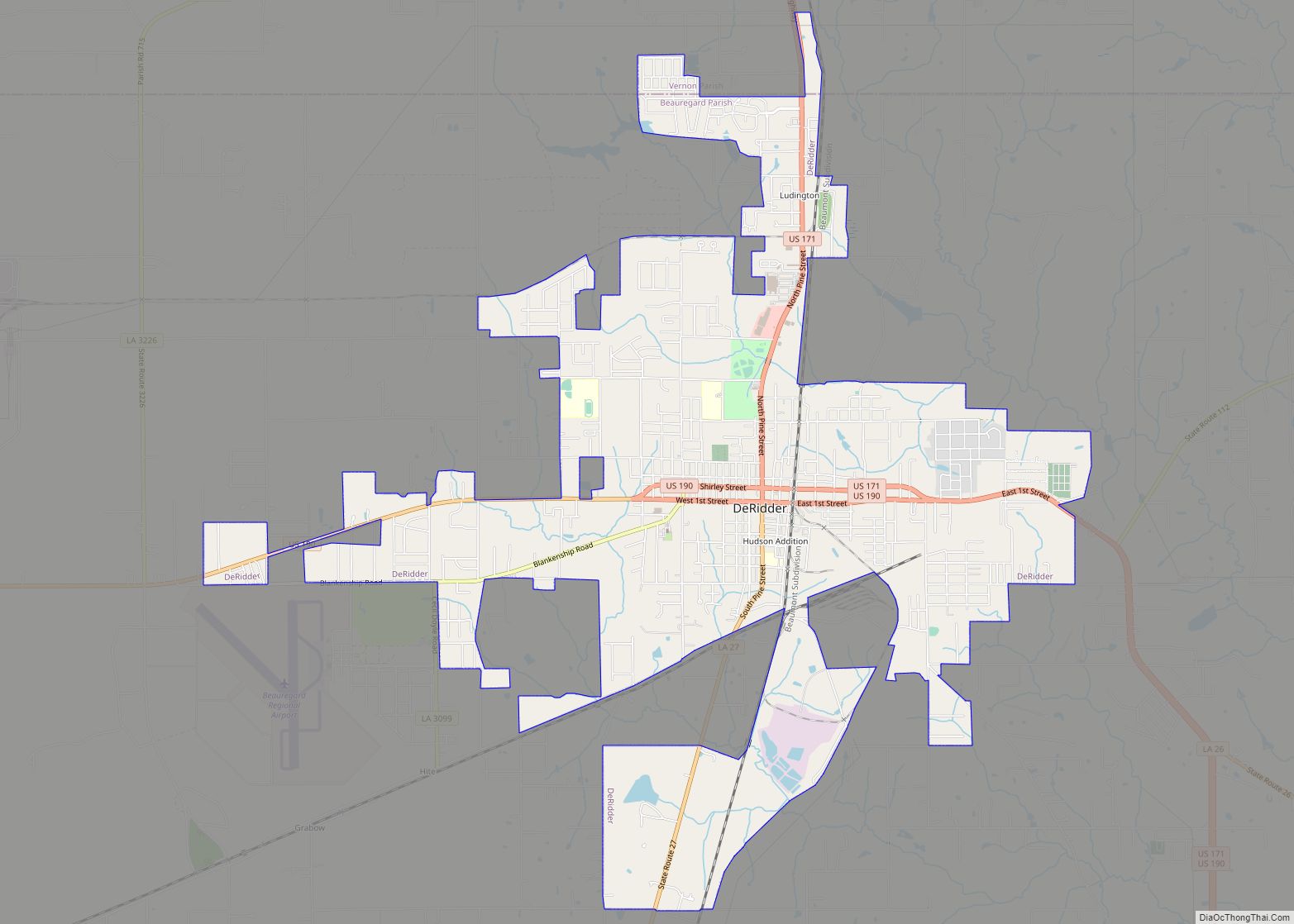
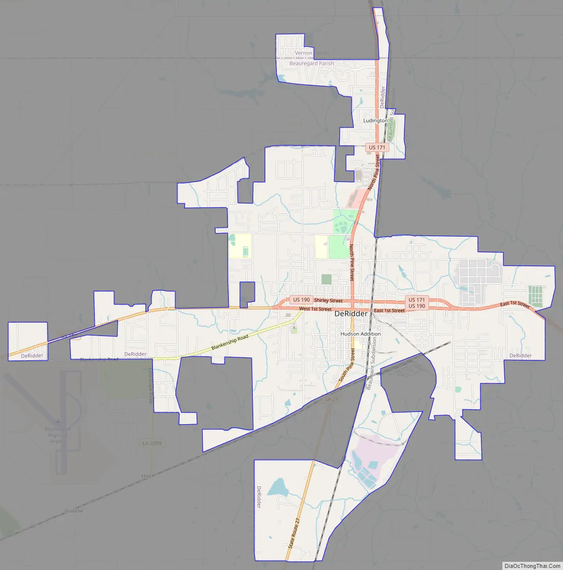
DeRidder Road Map
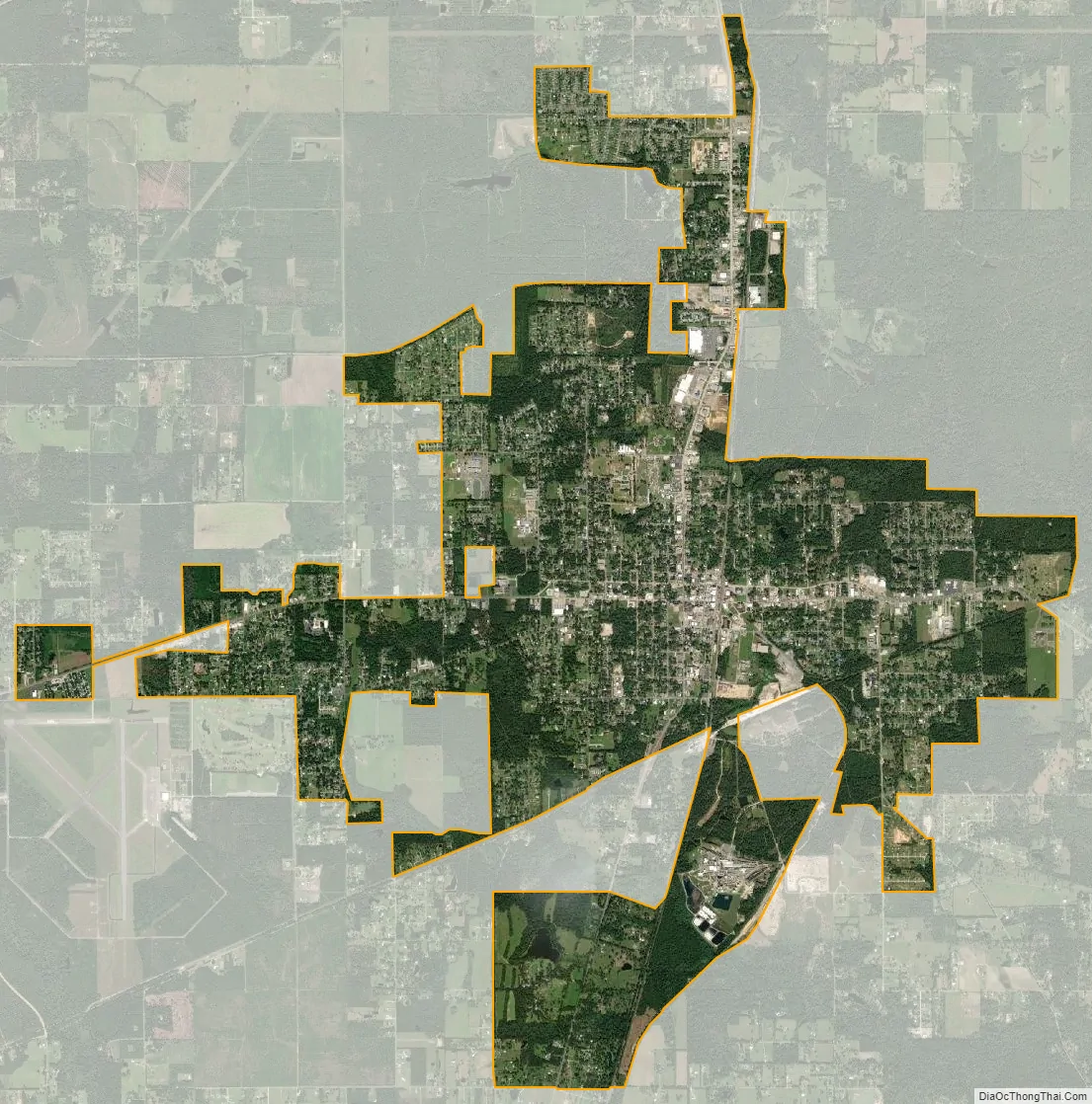
DeRidder city Satellite Map
Geography
DeRidder is located in northern Beauregard Parish at 30°51′5″N 93°17′25″W / 30.85139°N 93.29028°W / 30.85139; -93.29028 (30.851419, -93.290230) and has an elevation of 203 feet (61.9 m). U.S. Route 171 leads south 48 miles (77 km) to Lake Charles and north 15 miles (24 km) to the entrance to Fort Polk and 21 miles (34 km) to Leesville. U.S. Route 190 leads south and east 49 miles (79 km) to Kinder and west 52 miles (84 km) to Jasper, Texas.
According to the United States Census Bureau, DeRidder has a total area of 9.2 square miles (23.9 km), of which 9.2 square miles (23.7 km) is land and 0.077 square miles (0.2 km), or 0.96%, is water.
Split Parish
The northern section of the Green Acres subdivision, west of highway 171 on the extreme northwest side of DeRidder, extends into Vernon Parish. Another section of the city, running north along the east side highway 171, up to a parallel with Golden Lantern road, also extends into Vernon Parish. Water and sewage for Green Acres and Country Estates Subdivisions is provided by the independent Green Acres Water & Sewer District #1
See also
Map of Louisiana State and its subdivision:- Acadia
- Allen
- Ascension
- Assumption
- Avoyelles
- Beauregard
- Bienville
- Bossier
- Caddo
- Calcasieu
- Caldwell
- Cameron
- Catahoula
- Claiborne
- Concordia
- De Soto
- East Baton Rouge
- East Carroll
- East Feliciana
- Evangeline
- Franklin
- Grant
- Iberia
- Iberville
- Jackson
- Jefferson
- Jefferson Davis
- La Salle
- Lafayette
- Lafourche
- Lincoln
- Livingston
- Madison
- Morehouse
- Natchitoches
- Orleans
- Ouachita
- Plaquemines
- Pointe Coupee
- Rapides
- Red River
- Richland
- Sabine
- Saint Bernard
- Saint Charles
- Saint Helena
- Saint James
- Saint John the Baptist
- Saint Landry
- Saint Martin
- Saint Mary
- Saint Tammany
- Tangipahoa
- Tensas
- Terrebonne
- Union
- Vermilion
- Vernon
- Washington
- Webster
- West Baton Rouge
- West Carroll
- West Feliciana
- Winn
- Alabama
- Alaska
- Arizona
- Arkansas
- California
- Colorado
- Connecticut
- Delaware
- District of Columbia
- Florida
- Georgia
- Hawaii
- Idaho
- Illinois
- Indiana
- Iowa
- Kansas
- Kentucky
- Louisiana
- Maine
- Maryland
- Massachusetts
- Michigan
- Minnesota
- Mississippi
- Missouri
- Montana
- Nebraska
- Nevada
- New Hampshire
- New Jersey
- New Mexico
- New York
- North Carolina
- North Dakota
- Ohio
- Oklahoma
- Oregon
- Pennsylvania
- Rhode Island
- South Carolina
- South Dakota
- Tennessee
- Texas
- Utah
- Vermont
- Virginia
- Washington
- West Virginia
- Wisconsin
- Wyoming