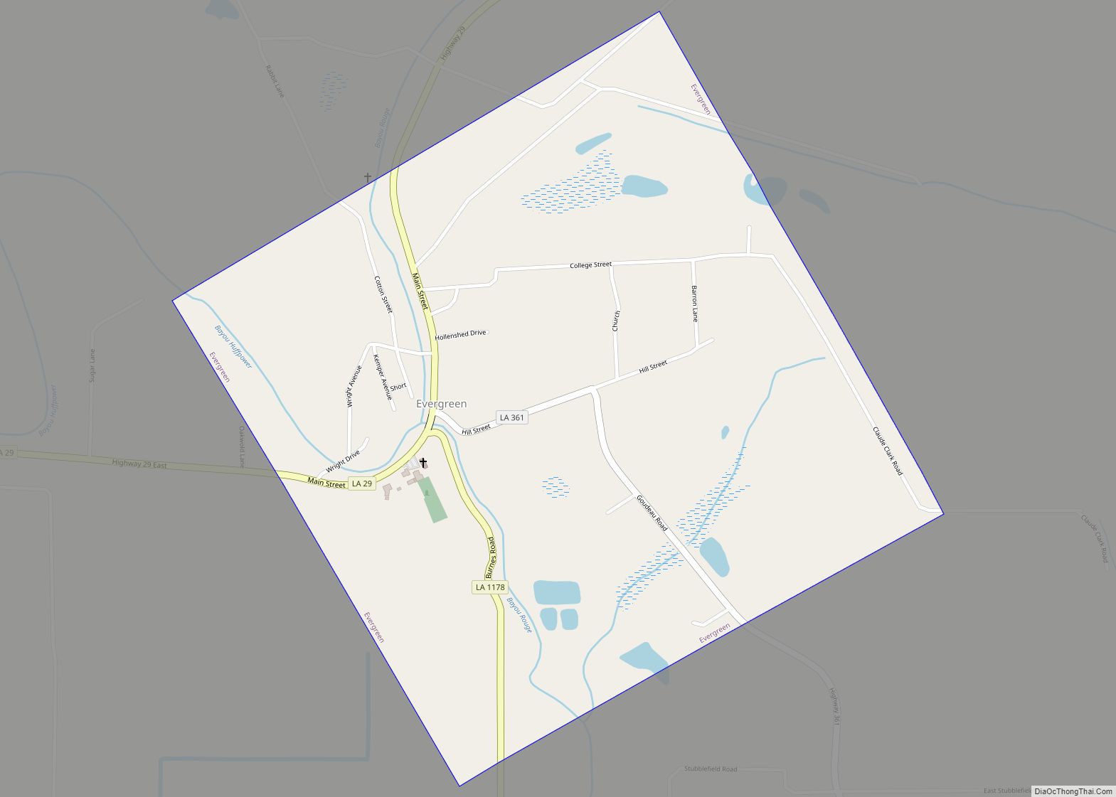
Evergreen is a town in Avoyelles Parish, Louisiana, United States. The population was 310 at the 2010 census. Evergreen is located east of Bunkie. Evergreen town overview: Name: Evergreen town LSAD Code: 43 LSAD Description: town (suffix) State: Louisiana County: Avoyelles Parish Elevation: 62 ft (19 m) Total Area: 1.02 sq mi (2.65 km²) Land Area: 1.02 sq mi (2.65 km²) Water Area: ... Read more
Louisiana Cities and Places
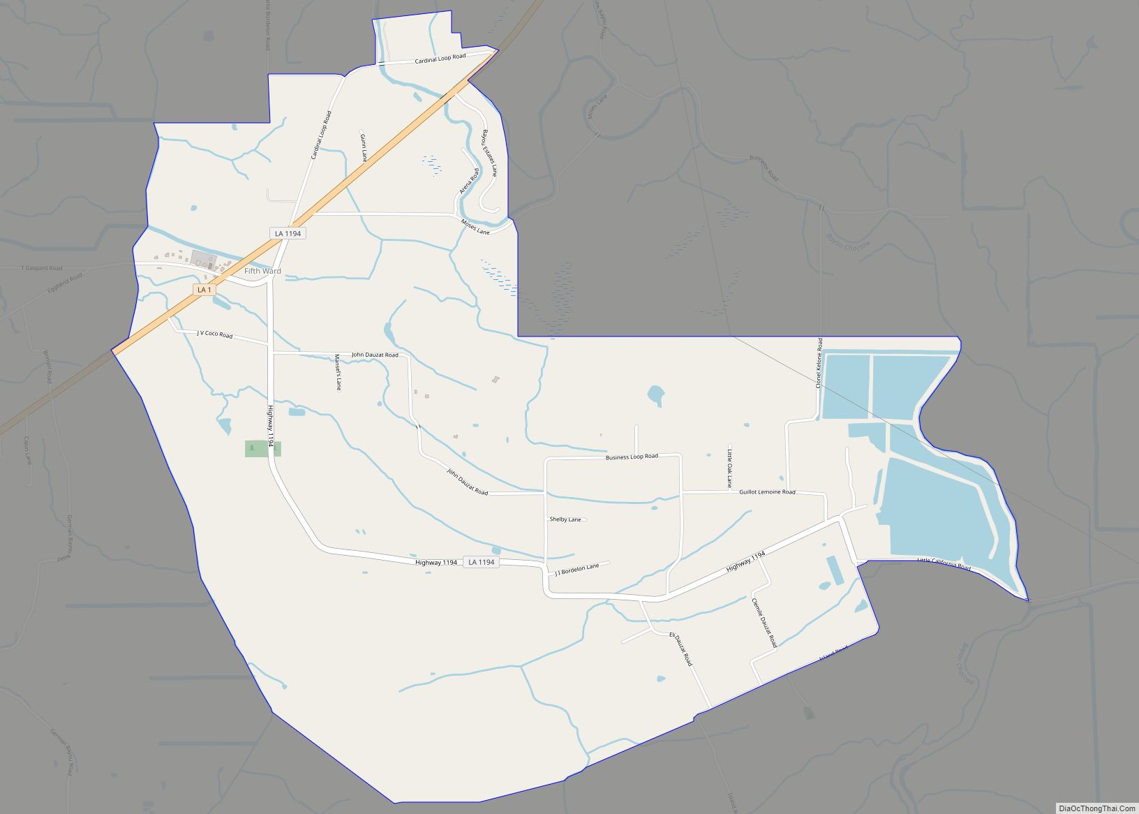
Fifth Ward is an unincorporated community and census-designated place in Avoyelles Parish, Louisiana, United States. As of the 2010 census, it had a population of 800. Fifth Ward is located along Louisiana Highway 1, 7 miles (11 km) west of Marksville, the parish seat, and 23 miles (37 km) southeast of Alexandria. Fifth Ward CDP overview: Name: ... Read more
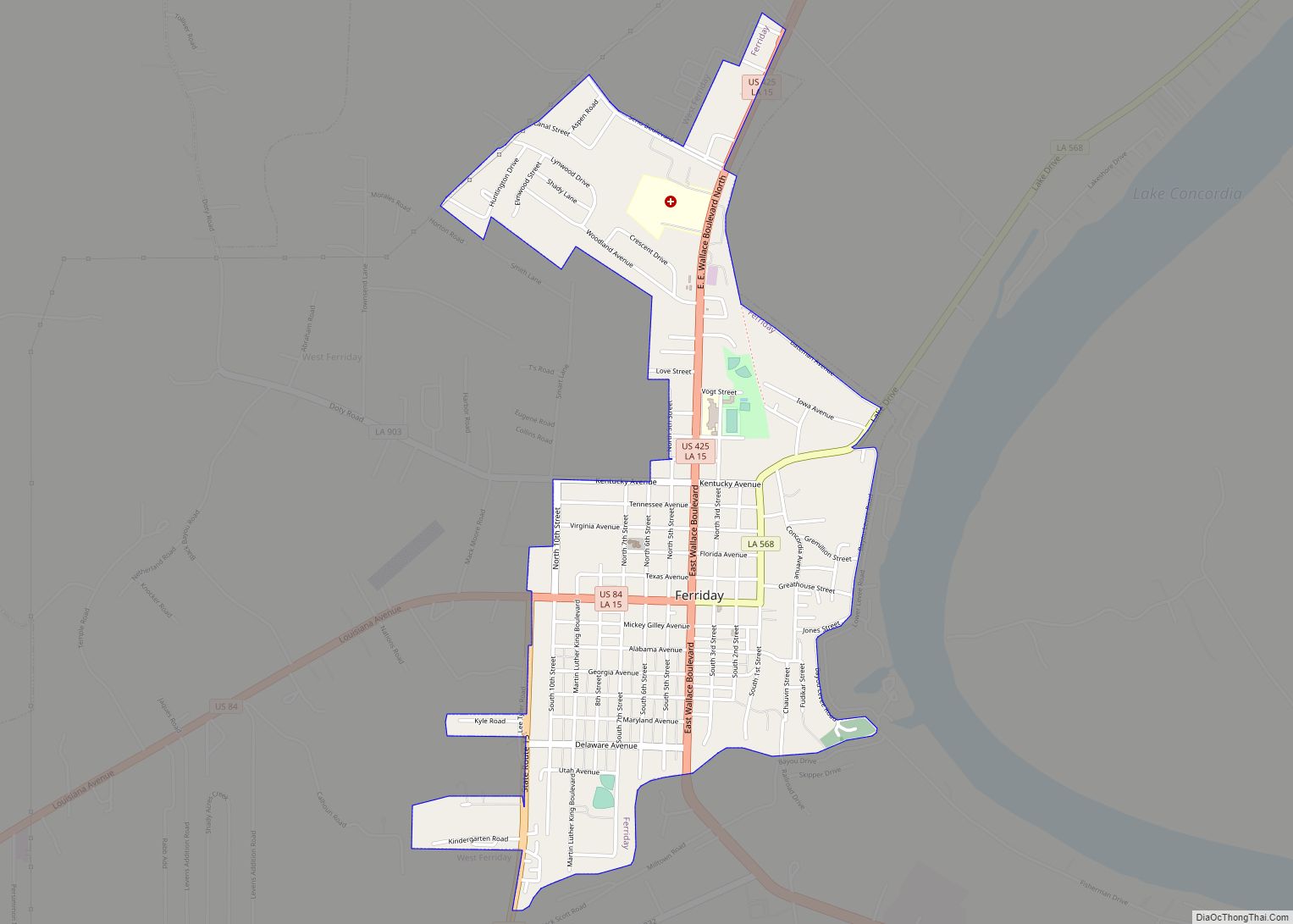
Ferriday is a town in Concordia Parish, which borders the Mississippi River and is located on the central eastern border of Louisiana, United States. With a population of 3,511 at the 2010 census, it is an African-American majority town. The town claims to have produced more famous people per square mile than any other in ... Read more
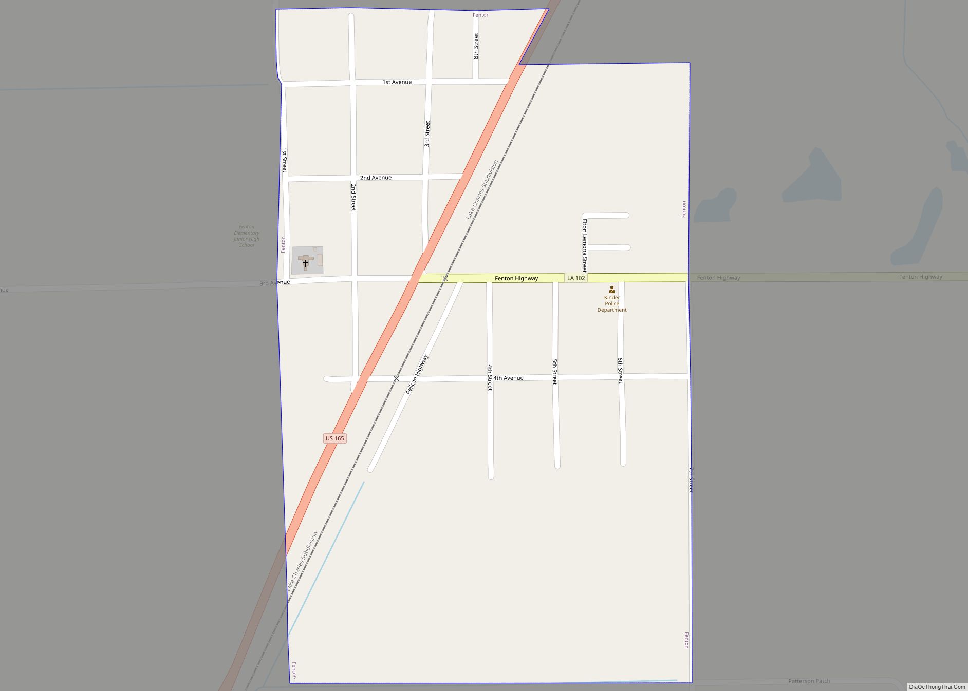
Fenton is a village in Jefferson Davis Parish, Louisiana, United States. The population was 379 at the 2010 census. It is part of the Jennings Micropolitan Statistical Area. Thomas A. “Tom” Greene, a former state senator from Iberville Parish, graduated in 1966 from Fenton High School. Fenton village overview: Name: Fenton village LSAD Code: 47 ... Read more
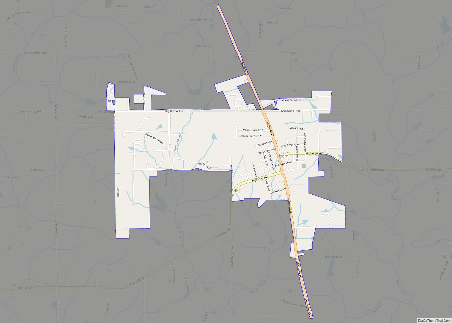
Folsom is a village in St. Tammany Parish, Louisiana, United States. The population was 716 at the 2010 census. The town is named after the wife of Grover Cleveland, Frances Folsom. It is part of the New Orleans–Metairie–Kenner Metropolitan Statistical Area. Folsom village overview: Name: Folsom village LSAD Code: 47 LSAD Description: village (suffix) State: ... Read more
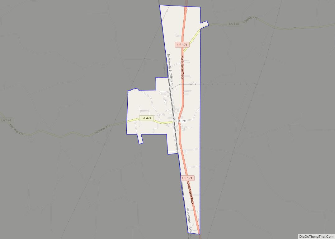
Florien is a village in Sabine Parish, Louisiana, United States. The population was 633 at the 2010 census, down from 692 at the 2000 census. The village is home to the annual Sabine Free State Festival, celebrating the village’s history as part of the Sabine Neutral Strip. Florien village overview: Name: Florien village LSAD Code: ... Read more
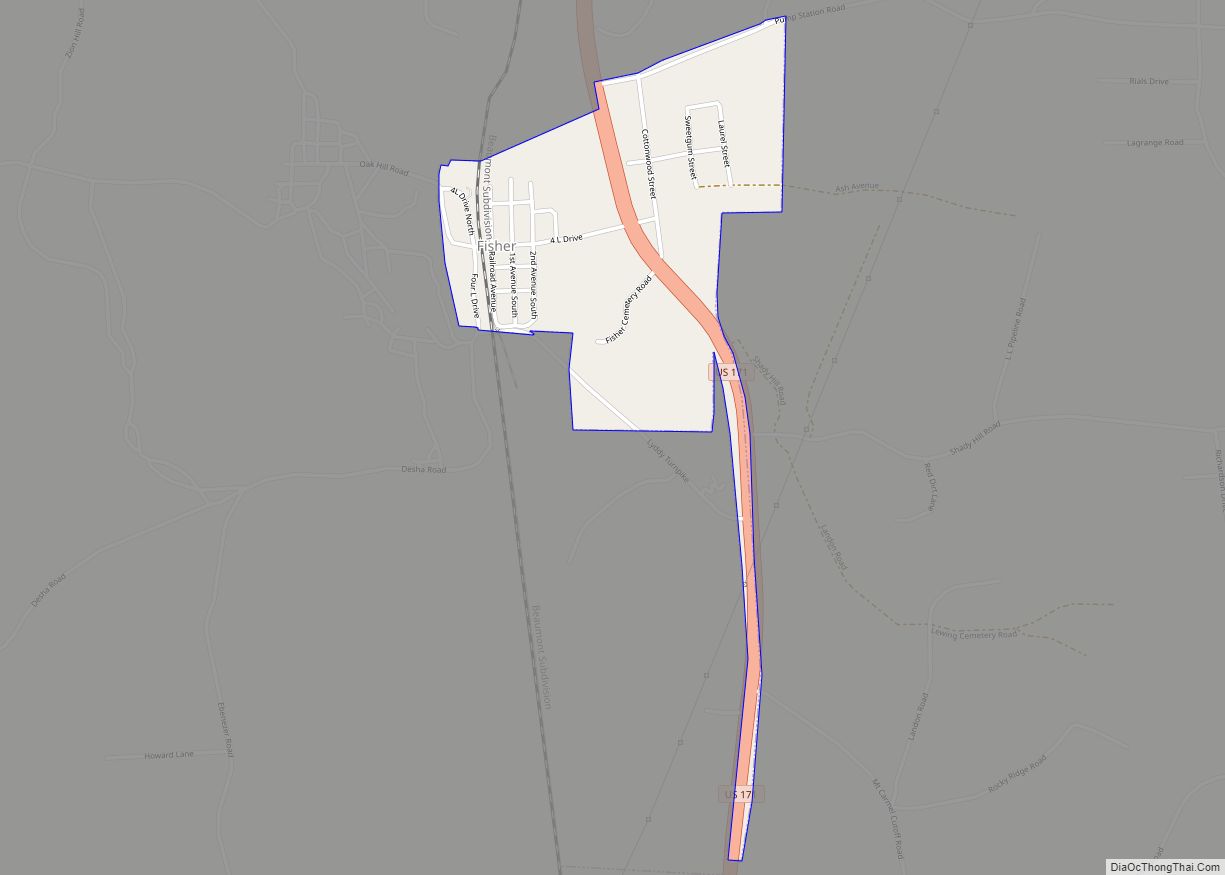
Fisher is a village in Sabine Parish, Louisiana, United States. The population was 230 at the 2010 census, down from 268 in 2000. Fisher village overview: Name: Fisher village LSAD Code: 47 LSAD Description: village (suffix) State: Louisiana County: Sabine Parish Elevation: 344 ft (105 m) Total Area: 0.62 sq mi (1.60 km²) Land Area: 0.62 sq mi (1.60 km²) Water Area: 0.00 sq mi ... Read more
Forest is a village in West Carroll Parish in northeastern Louisiana, United States. The population was 275 at the 2000 census. Forest Police Chief James Robert “Bob” Smith (Independent; born June 1931), with service since 1998 is the oldest elected official in the State of Louisiana, as of 2017. After thirty years as a mechanic ... Read more
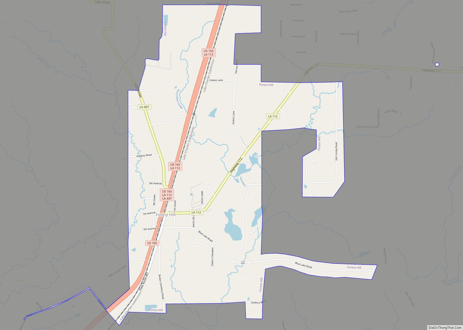
Forest Hill is a village in Rapides Parish, Louisiana, United States. It is part of the Alexandria, Louisiana Metropolitan Statistical Area. The population was 818 at the 2010 census. Forest Hill village overview: Name: Forest Hill village LSAD Code: 47 LSAD Description: village (suffix) State: Louisiana County: Rapides Parish Elevation: 167 ft (51 m) Total Area: 3.79 sq mi ... Read more
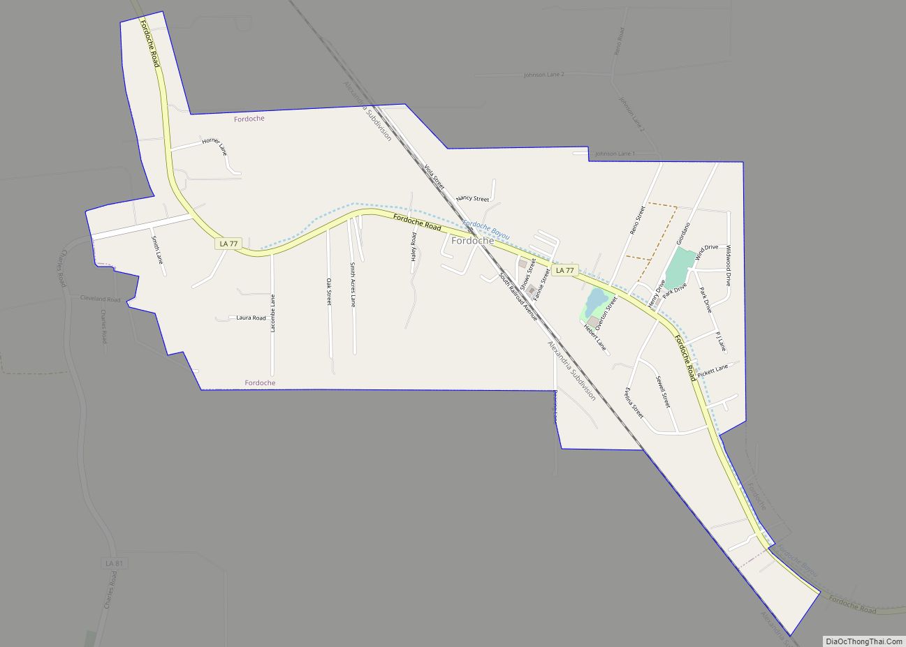
Fordoche (pronounced four-DOASH) is a town in Pointe Coupee Parish, Louisiana, United States. The population was 928 at the 2010 census. It is part of the Baton Rouge Metropolitan Statistical Area. Fordoche town overview: Name: Fordoche town LSAD Code: 43 LSAD Description: town (suffix) State: Louisiana County: Pointe Coupee Parish Incorporated: 1961 Elevation: 30 ft (9 m) ... Read more
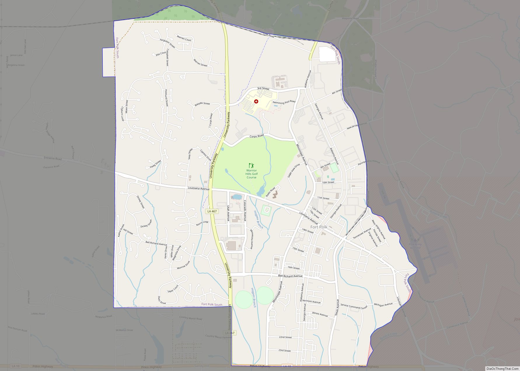
Fort Polk South is a census-designated place (CDP) in Vernon Parish, Louisiana, United States. The population was 11,000 at the 2000 census. Fort Polk South is the larger principal city of the Fort Polk South-DeRidder CSA, a Combined Statistical Area that includes the Fort Polk South (Vernon Parish) and DeRidder (Beauregard Parish) micropolitan areas, which ... Read more
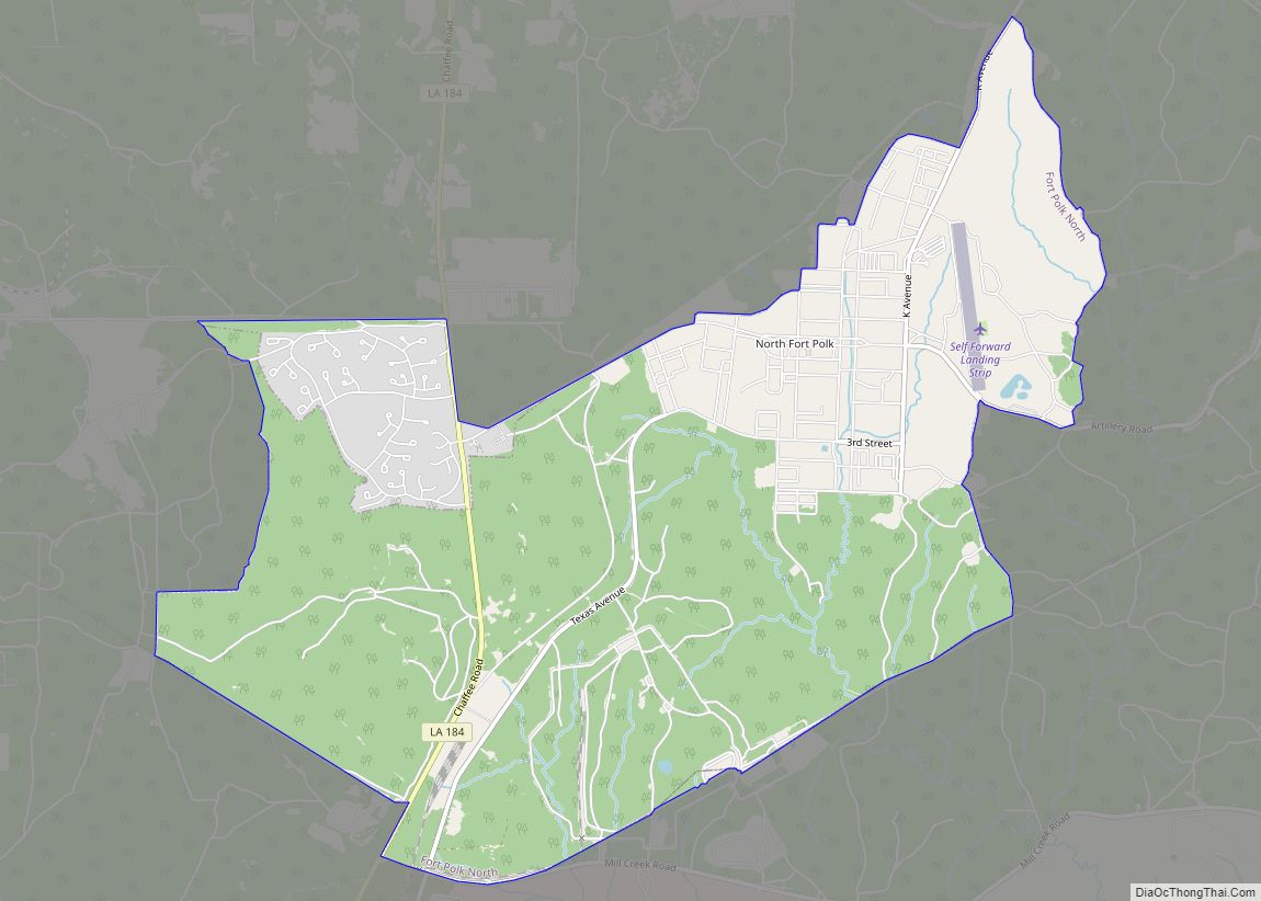
Fort Polk North is a census-designated place (CDP) in Vernon Parish, Louisiana, United States. The population was 3,279 at the 2000 census. It is part of the Fort Polk South Micropolitan Statistical Area. Fort Polk North CDP overview: Name: Fort Polk North CDP LSAD Code: 57 LSAD Description: CDP (suffix) State: Louisiana County: Vernon Parish ... Read more
