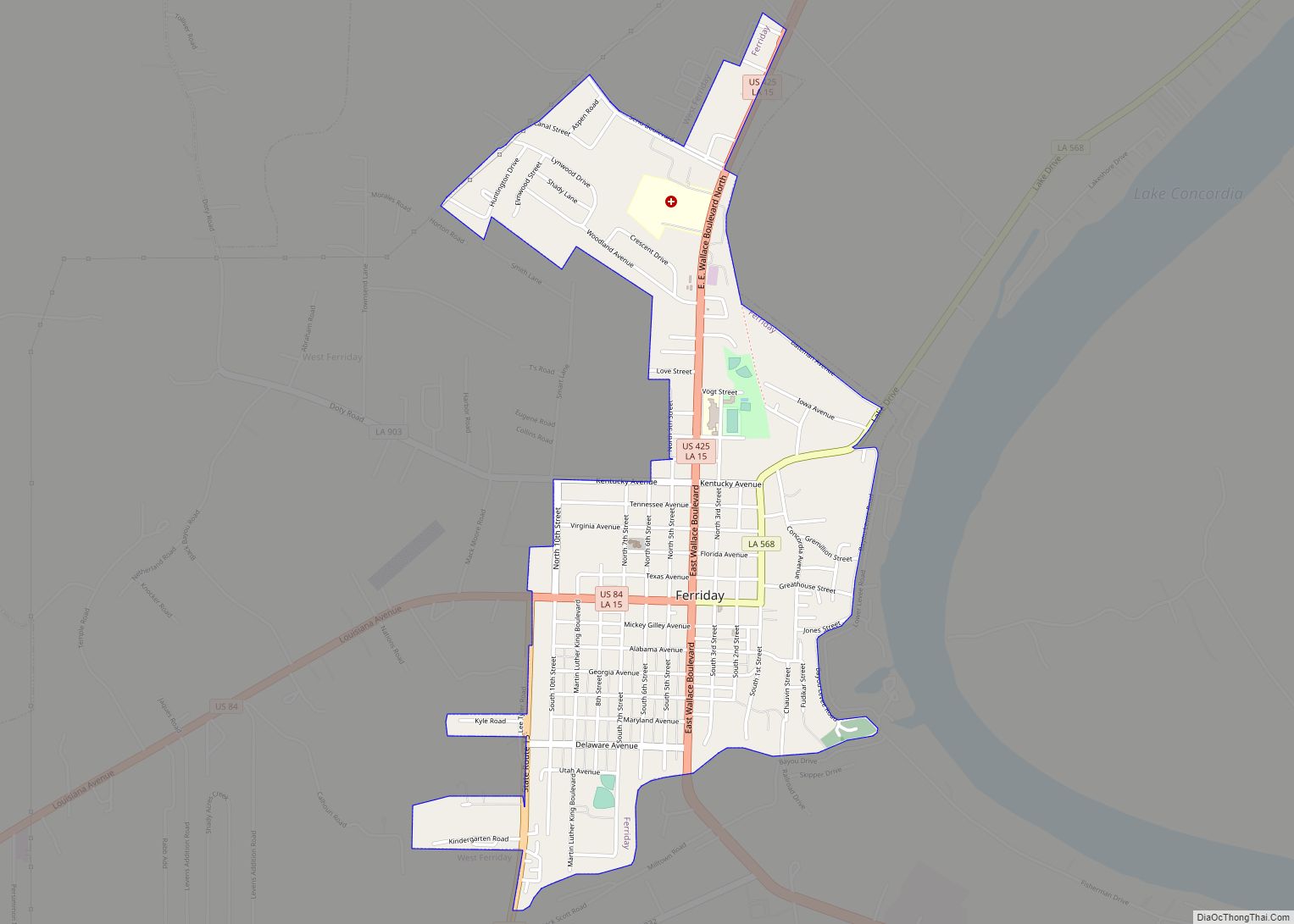
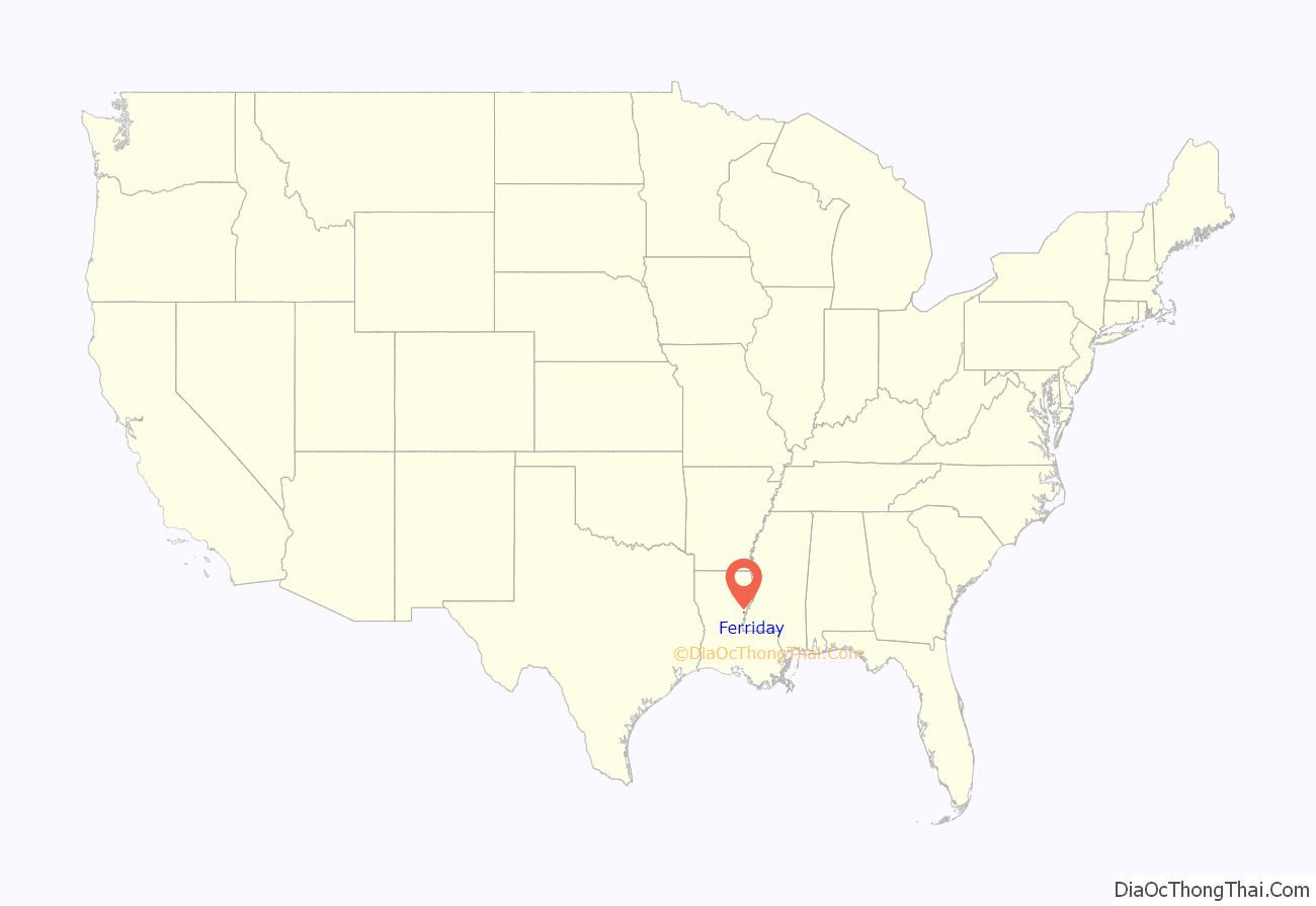
Ferriday is a town in Concordia Parish, which borders the Mississippi River and is located on the central eastern border of Louisiana, United States. With a population of 3,511 at the 2010 census, it is an African-American majority town.
The town claims to have produced more famous people per square mile than any other in America. This statement intrigued author Elaine Dundy, who explored both celebrities and townsfolk in her book, Ferriday, Louisiana, published by E. P. Dutton in 1991.
Churches of several major denominations are located here, including a large Pentecostal congregation south of town on Louisiana Highway 15, as well as Baptist, Assembly of God, Presbyterian, Methodist, and Catholic.
| Name: | Ferriday town |
|---|---|
| LSAD Code: | 43 |
| LSAD Description: | town (suffix) |
| State: | Louisiana |
| County: | Concordia Parish |
| Elevation: | 52 ft (16 m) |
| Total Area: | 1.63 sq mi (4.22 km²) |
| Land Area: | 1.63 sq mi (4.22 km²) |
| Water Area: | 0.00 sq mi (0.00 km²) |
| Total Population: | 3,189 |
| Population Density: | 1,957.64/sq mi (755.74/km²) |
| ZIP code: | 71334 |
| Area code: | 318 |
| FIPS code: | 2225440 |
Online Interactive Map
Click on ![]() to view map in "full screen" mode.
to view map in "full screen" mode.
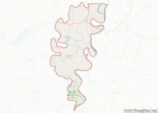
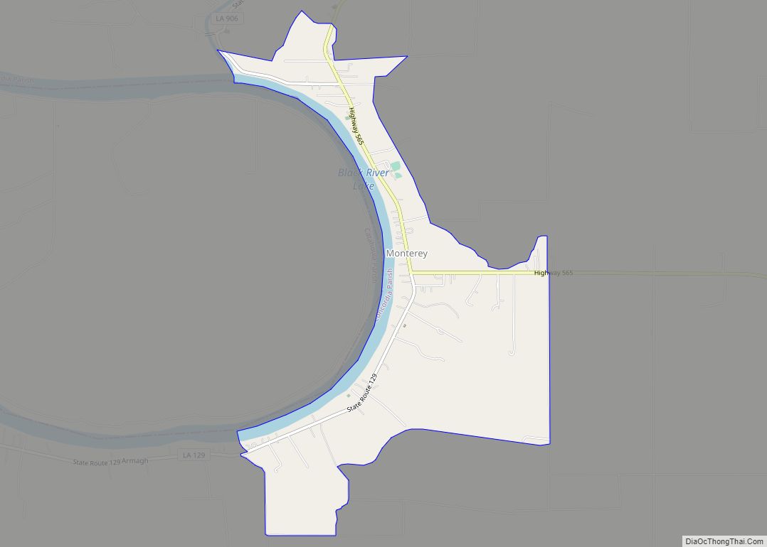
Ferriday location map. Where is Ferriday town?
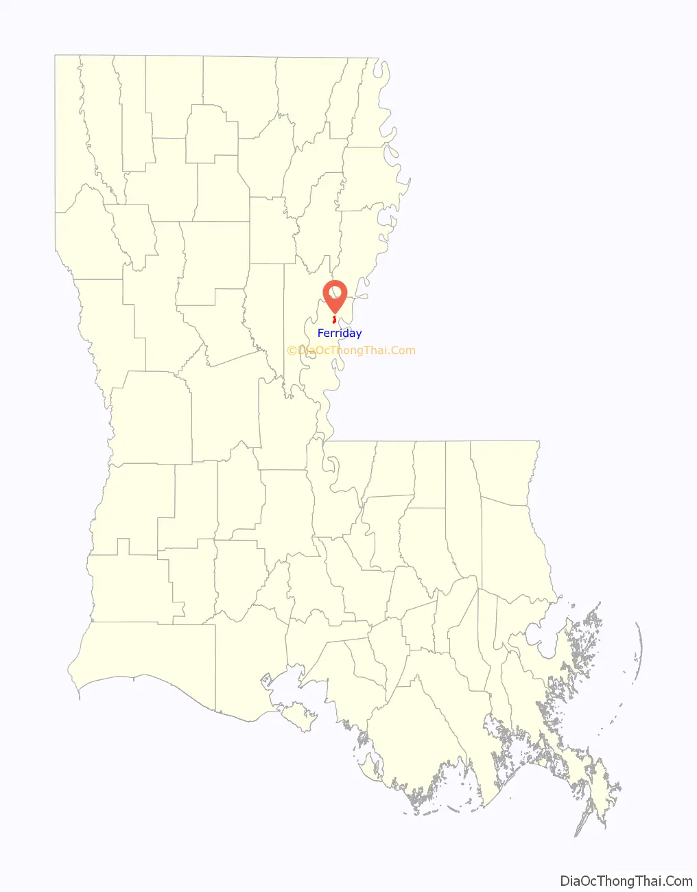
Ferriday Road Map

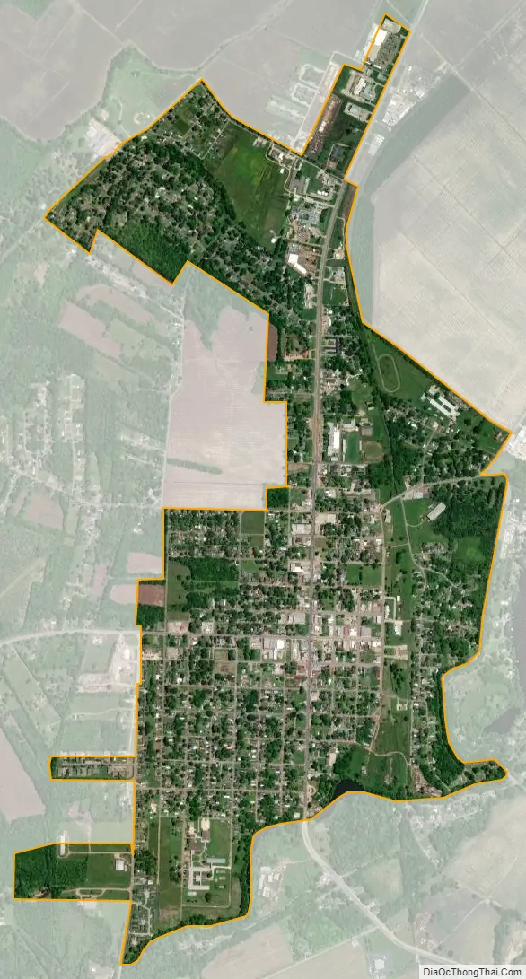
Ferriday city Satellite Map
Geography
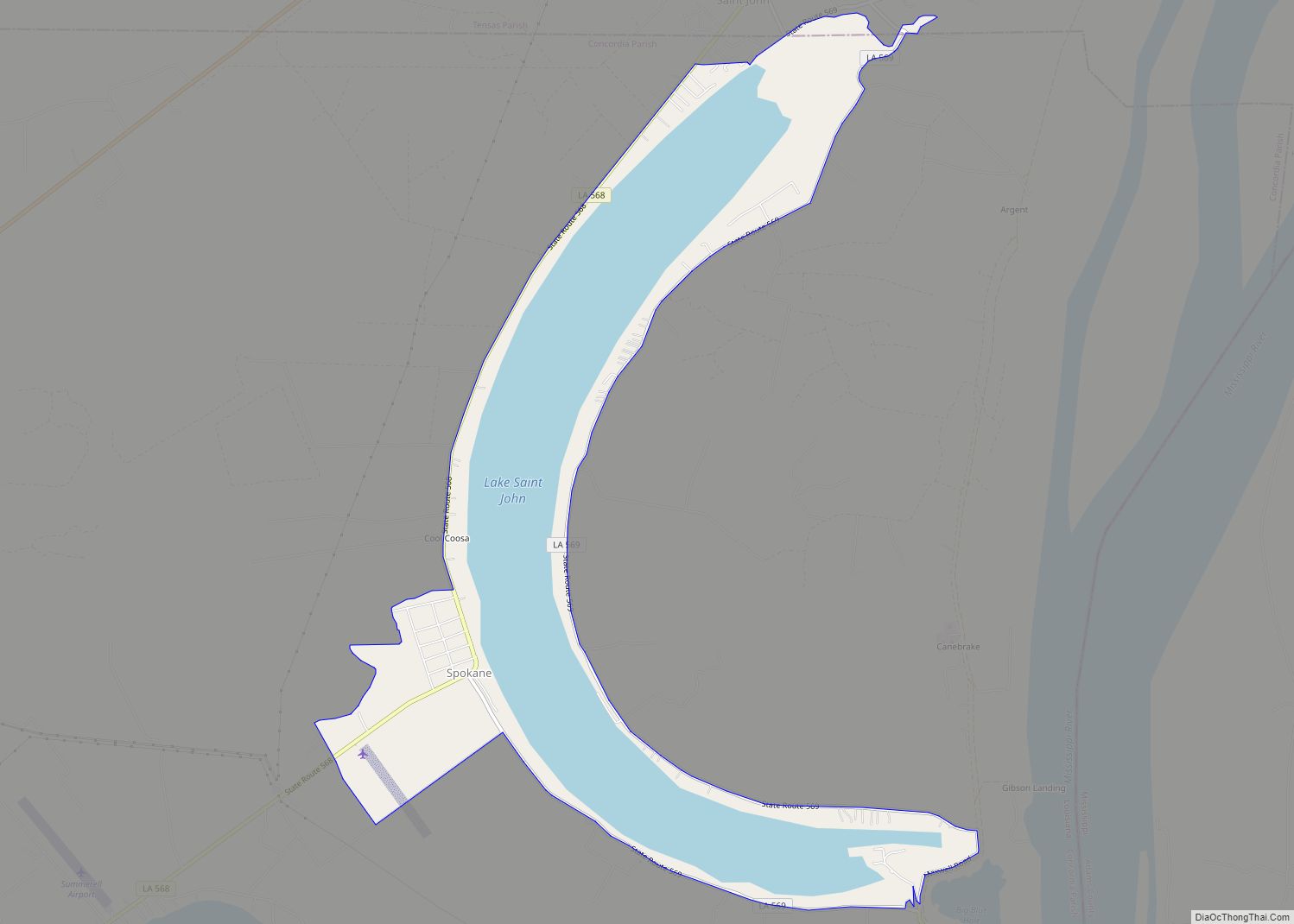
Ferriday is situated on the west side of Lake Concordia and 8 miles (13 km) from Lake St. John, oxbow lakes noted for recreational and professional bass fishing.
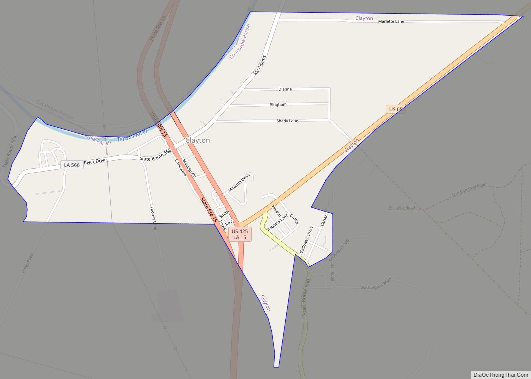
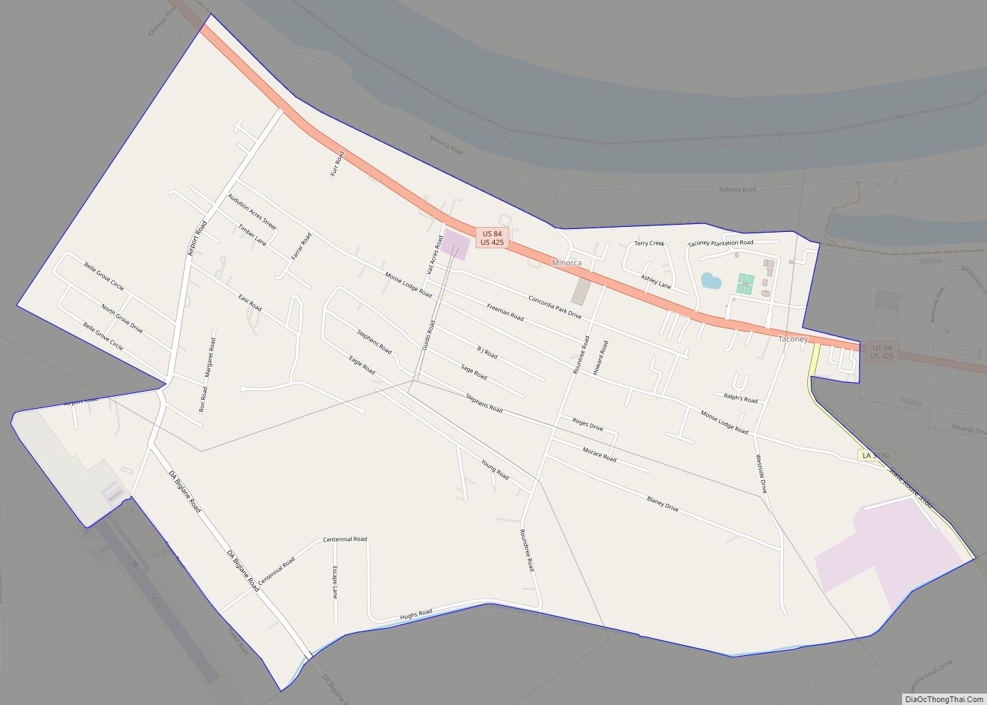
U.S. Routes 84 and 425 pass through the center of Ferriday. US 84 leads west 16 miles (26 km) to Jonesville, and US 425 leads north 6 miles (10 km) to Clayton. The two highways jointly lead southeast 11 miles (18 km) to Natchez, Mississippi.
According to the United States Census Bureau, Ferriday has a total area of 1.6 square miles (4.2 km), all being land.
Climate
See also
Map of Louisiana State and its subdivision:- Acadia
- Allen
- Ascension
- Assumption
- Avoyelles
- Beauregard
- Bienville
- Bossier
- Caddo
- Calcasieu
- Caldwell
- Cameron
- Catahoula
- Claiborne
- Concordia
- De Soto
- East Baton Rouge
- East Carroll
- East Feliciana
- Evangeline
- Franklin
- Grant
- Iberia
- Iberville
- Jackson
- Jefferson
- Jefferson Davis
- La Salle
- Lafayette
- Lafourche
- Lincoln
- Livingston
- Madison
- Morehouse
- Natchitoches
- Orleans
- Ouachita
- Plaquemines
- Pointe Coupee
- Rapides
- Red River
- Richland
- Sabine
- Saint Bernard
- Saint Charles
- Saint Helena
- Saint James
- Saint John the Baptist
- Saint Landry
- Saint Martin
- Saint Mary
- Saint Tammany
- Tangipahoa
- Tensas
- Terrebonne
- Union
- Vermilion
- Vernon
- Washington
- Webster
- West Baton Rouge
- West Carroll
- West Feliciana
- Winn
- Alabama
- Alaska
- Arizona
- Arkansas
- California
- Colorado
- Connecticut
- Delaware
- District of Columbia
- Florida
- Georgia
- Hawaii
- Idaho
- Illinois
- Indiana
- Iowa
- Kansas
- Kentucky
- Louisiana
- Maine
- Maryland
- Massachusetts
- Michigan
- Minnesota
- Mississippi
- Missouri
- Montana
- Nebraska
- Nevada
- New Hampshire
- New Jersey
- New Mexico
- New York
- North Carolina
- North Dakota
- Ohio
- Oklahoma
- Oregon
- Pennsylvania
- Rhode Island
- South Carolina
- South Dakota
- Tennessee
- Texas
- Utah
- Vermont
- Virginia
- Washington
- West Virginia
- Wisconsin
- Wyoming