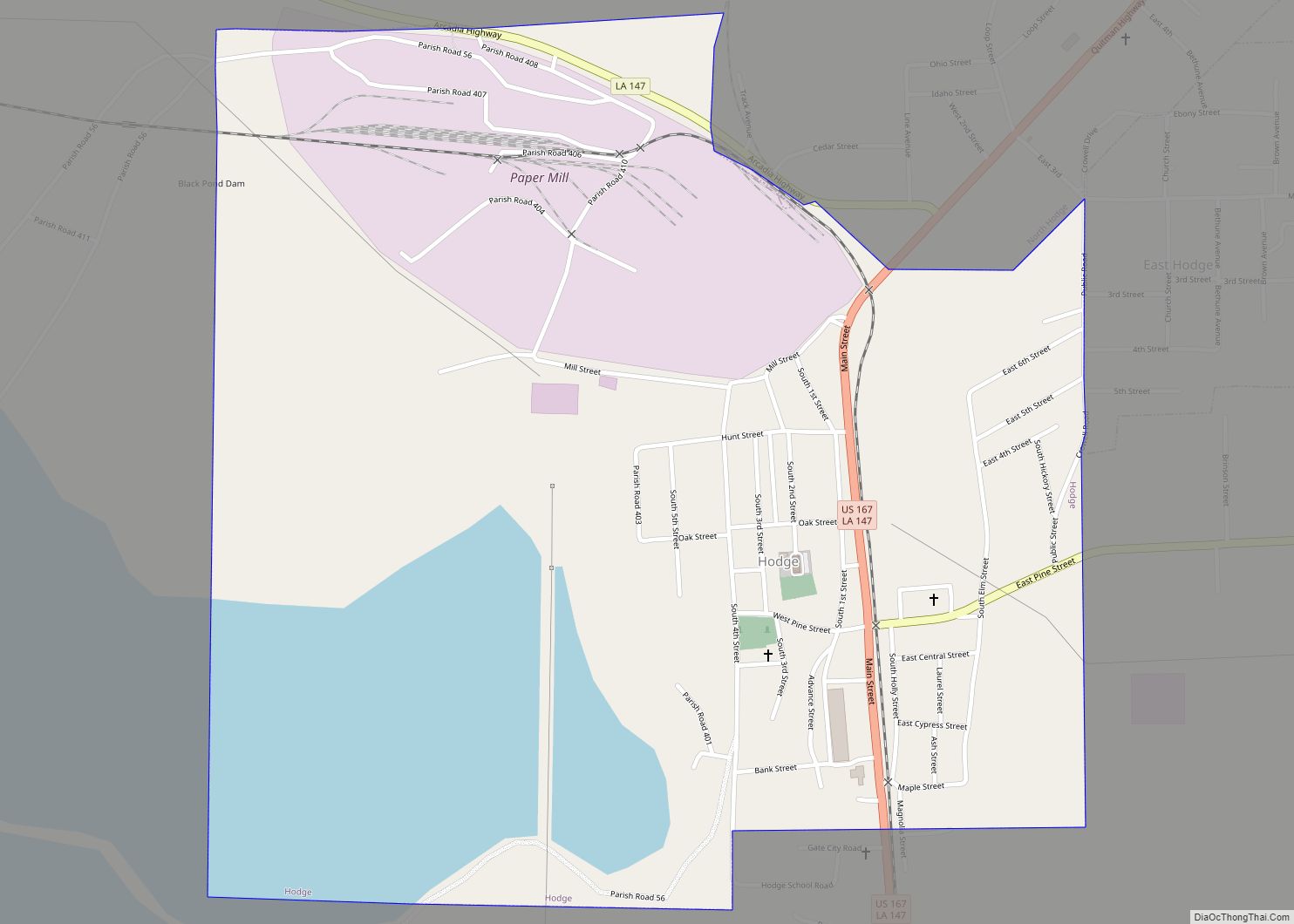
Hodge is a village in Jackson Parish, Louisiana, United States. The population was 470 at the 2010 census. It is part of the Ruston Micropolitan Statistical Area. Hodge village overview: Name: Hodge village LSAD Code: 47 LSAD Description: village (suffix) State: Louisiana County: Jackson Parish Elevation: 190 ft (60 m) Total Area: 1.37 sq mi (3.55 km²) Land Area: 0.97 sq mi ... Read more
Louisiana Cities and Places
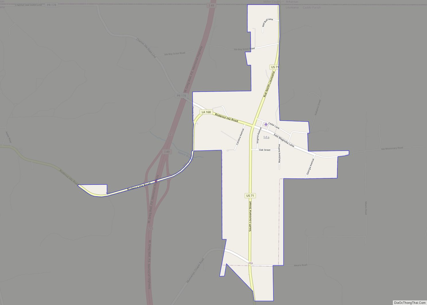
Ida is a village in Caddo Parish, Louisiana, United States. The population was 221 at the 2010 census. It is part of the Shreveport–Bossier City Metropolitan Statistical Area. Ida and nearby Rodessa are the most northwesterly communities in Louisiana. Ida village overview: Name: Ida village LSAD Code: 47 LSAD Description: village (suffix) State: Louisiana County: ... Read more
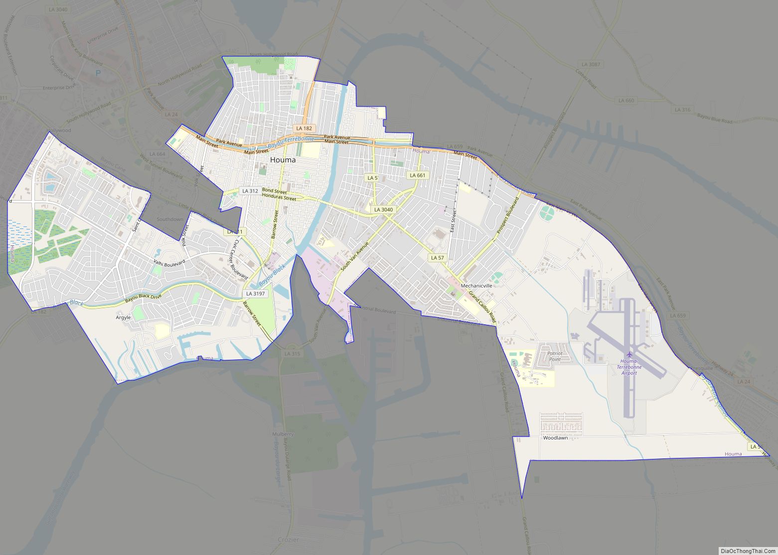
Houma (/ˈhoʊmə/ HOH-mə) is the largest city in, and the parish seat of, Terrebonne Parish in the U.S. state of Louisiana. It is also the largest principal city of the Houma–Bayou Cane–Thibodaux metropolitan statistical area. The city’s government was absorbed by the parish in 1984, which currently operates as the Terrebonne Parish Consolidated Government. The ... Read more
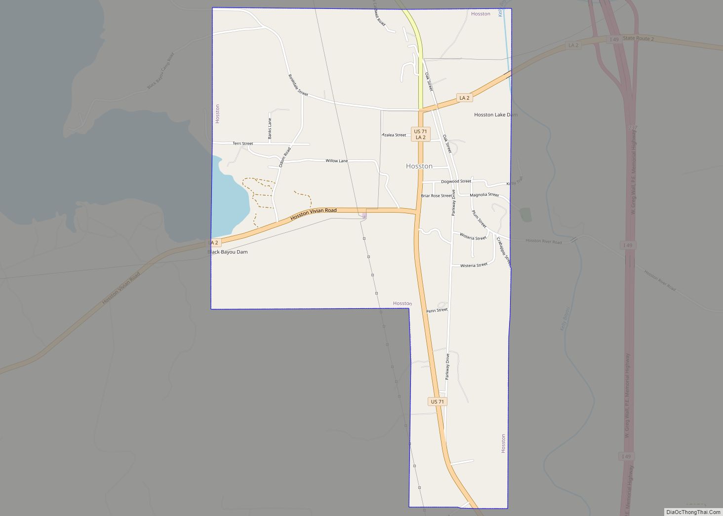
Hosston is a village in Caddo Parish, Louisiana, United States. The population was 318 at the 2010 census. It is part of the Shreveport–Bossier City Metropolitan Statistical Area. Hosston village overview: Name: Hosston village LSAD Code: 47 LSAD Description: village (suffix) State: Louisiana County: Caddo Parish Elevation: 220 ft (70 m) Total Area: 2.76 sq mi (7.14 km²) Land Area: ... Read more
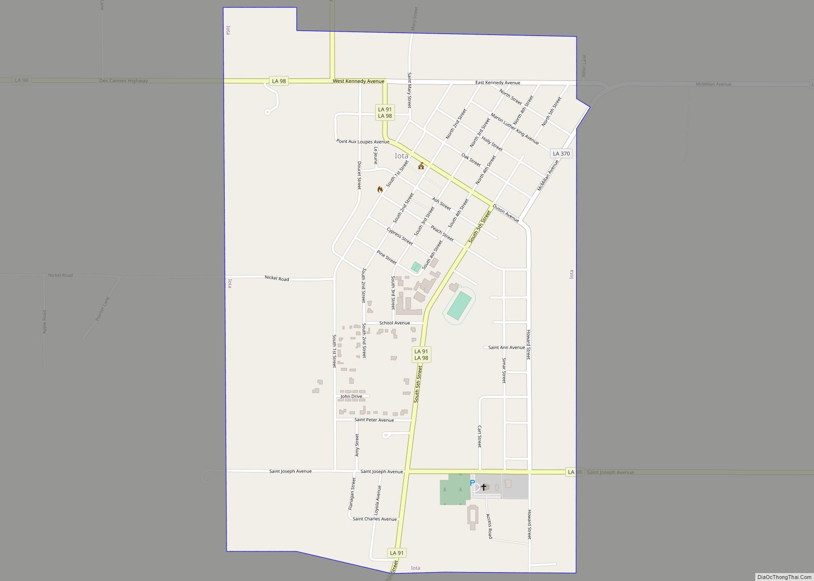
Iota is a town in Acadia Parish, Louisiana. The population was 1,304 in 2020. Iota is part of the Crowley Micropolitan Statistical Area. Iota town overview: Name: Iota town LSAD Code: 43 LSAD Description: town (suffix) State: Louisiana County: Acadia Parish Elevation: 30 ft (9 m) Total Area: 1.27 sq mi (3.29 km²) Land Area: 1.27 sq mi (3.29 km²) Water Area: 0.00 sq mi ... Read more
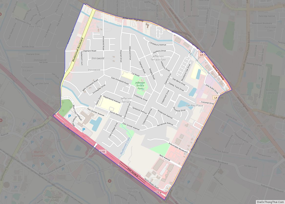
Inniswold is an unincorporated area and census-designated place (CDP) in East Baton Rouge Parish, Louisiana, United States. The population was 6,180 at the 2010 census, up from 4,944 in 2000. In 2020, its population was 5,987. It is part of the Baton Rouge metropolitan statistical area. It is in the proposed City of St. George. ... Read more
Independence, originally known as Uncle Sam, is a town in Tangipahoa Parish, Louisiana, United States. The population was 1,665 at the 2010 census. It is part of the Hammond Micropolitan Statistical Area. Independence town overview: Name: Independence town LSAD Code: 43 LSAD Description: town (suffix) State: Louisiana County: Tangipahoa Parish Elevation: 82 ft (25 m) Total Area: ... Read more
Jamestown is a village in Bienville Parish, Louisiana, United States. The population was 139 at the 2010 census and 130 in 2017. Jamestown is 4 mi (6 km) west of Kepler Lake. Jamestown village overview: Name: Jamestown village LSAD Code: 47 LSAD Description: village (suffix) State: Louisiana County: Bienville Parish Elevation: 230 ft (70 m) Total Area: 1.77 sq mi (4.59 km²) ... Read more
Jackson is a town in East Feliciana Parish, Louisiana, United States. The population was 3,842 at the 2010 U.S. census, down from 4,130 in 2000; the 2020 population estimates program determined Jackson had a population of 3,707. It is part of the Baton Rouge metropolitan statistical area. Jackson town overview: Name: Jackson town LSAD Code: ... Read more
Iowa (/ˈaɪəweɪ/) is a town in Calcasieu Parish, Louisiana, United States. The population was 3,436 in 2020. It is part of the Lake Charles metropolitan statistical area. Iowa town overview: Name: Iowa town LSAD Code: 43 LSAD Description: town (suffix) State: Louisiana County: Calcasieu Parish Elevation: 20 ft (6 m) Total Area: 3.43 sq mi (8.89 km²) Land Area: 3.40 sq mi ... Read more
Jefferson is a census-designated place (CDP) in Jefferson Parish, Louisiana, United States, on the north side (referred to as the “East Bank”) of the Mississippi River. Jefferson is part of the New Orleans–Metairie–Kenner metropolitan statistical area. The population was 11,193 at the 2010 census, and 10,533 in 2020. It is often known by locals as ... Read more
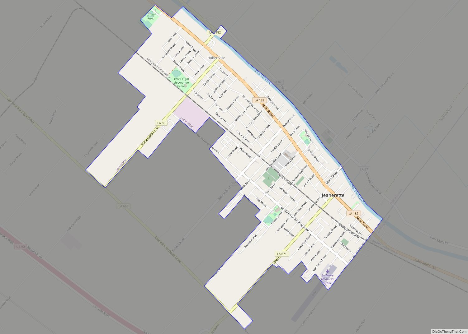
Jeanerette (/ˈdʒɪnˌrɛt/) is a city in Iberia Parish, Louisiana, United States. Known as “Sugar City”, it had a population of 5,530 at the 2010 census, a decrease of 467 from the 2000 tabulation of 5,997. It is two thirds African American, many of them Creoles of color. Jeanerette is the part of the Lafayette metropolitan ... Read more
