Jefferson is a census-designated place (CDP) in Jefferson Parish, Louisiana, United States, on the north side (referred to as the “East Bank”) of the Mississippi River. Jefferson is part of the New Orleans–Metairie–Kenner metropolitan statistical area. The population was 11,193 at the 2010 census, and 10,533 in 2020. It is often known by locals as “Old Jefferson” (to distinguish itself from the rest of Jefferson Parish), but should not be confused with Old Jefferson in East Baton Rouge Parish, Louisiana.
| Name: | Jefferson CDP |
|---|---|
| LSAD Code: | 57 |
| LSAD Description: | CDP (suffix) |
| State: | Louisiana |
| County: | Jefferson Parish |
| Elevation: | 3 ft (0.9 m) |
| Total Area: | 3.27 sq mi (8.48 km²) |
| Land Area: | 2.71 sq mi (7.01 km²) |
| Water Area: | 0.57 sq mi (1.47 km²) |
| Total Population: | 10,633 |
| Population Density: | 3,927.96/sq mi (1,516.44/km²) |
| ZIP code: | 70121 |
| Area code: | 504 |
| FIPS code: | 2238145 |
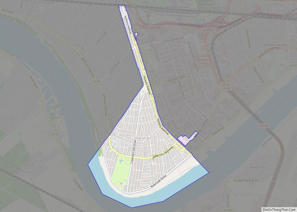
Online Interactive Map
Click on ![]() to view map in "full screen" mode.
to view map in "full screen" mode.
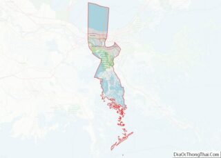
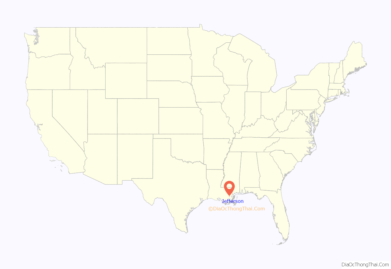
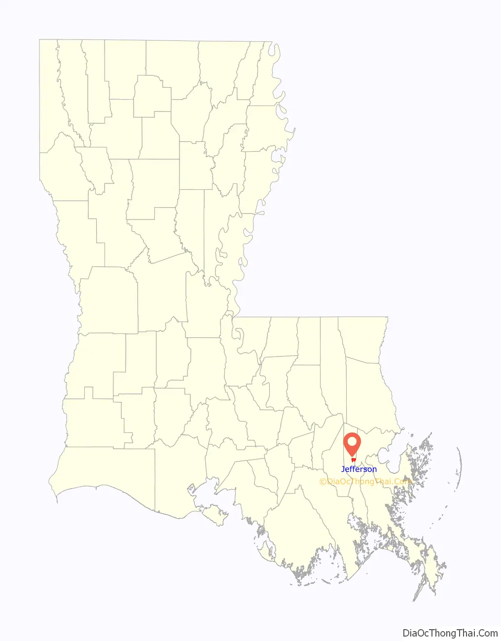
Jefferson location map. Where is Jefferson CDP?
History
Early French colonial documents show what would become Jefferson as part of the “Tchoupitoulas Coast” of Native American settlement. In the French and Spanish colonial era it was divided into a series of plantations with boundary lines perpendicular to the Mississippi River.
In the American Civil War, Camp Parapet was built originally by Confederate forces to defend New Orleans from an attack from the upriver side. After the Union liberated the city sailing up from downriver, U.S. troops expanded the fortifications to defend from Confederate counterattacks which never came.
What is now Jefferson includes formerly separate small communities dating back to the 19th century, including, Hoeyville, New Carrollon, Southport, and Shrewsbury, along with 20th century subdivisions/land developments including Azalea Gardens, Camellia Gardens, Jefferson Heights, and Rio Vista. Some of these names continue to sometimes be used locally to refer to neighborhoods.
The current 4 lane Jefferson Highway was inaugurated in 1928, accelerating development as a suburban area within Greater New Orleans.
Former landmarks included what is best remembered as “The Beverly”. An old plantation house was first converted to a “road house” music venue called “Suburban Gardens” in the 1920s; Louis Armstrong and his band had a summer residency here in 1931. In 1945 it was expanded into a lush (but illegal) gambling casino under the name the Beverly Country Club. After Federal crackdowns, it became a dinner theater until it burned down in 1983.
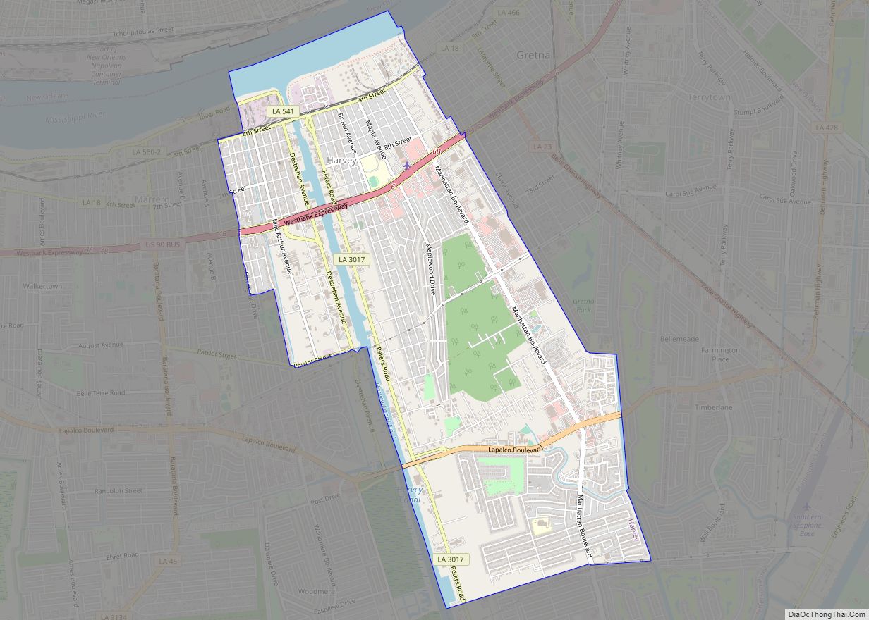
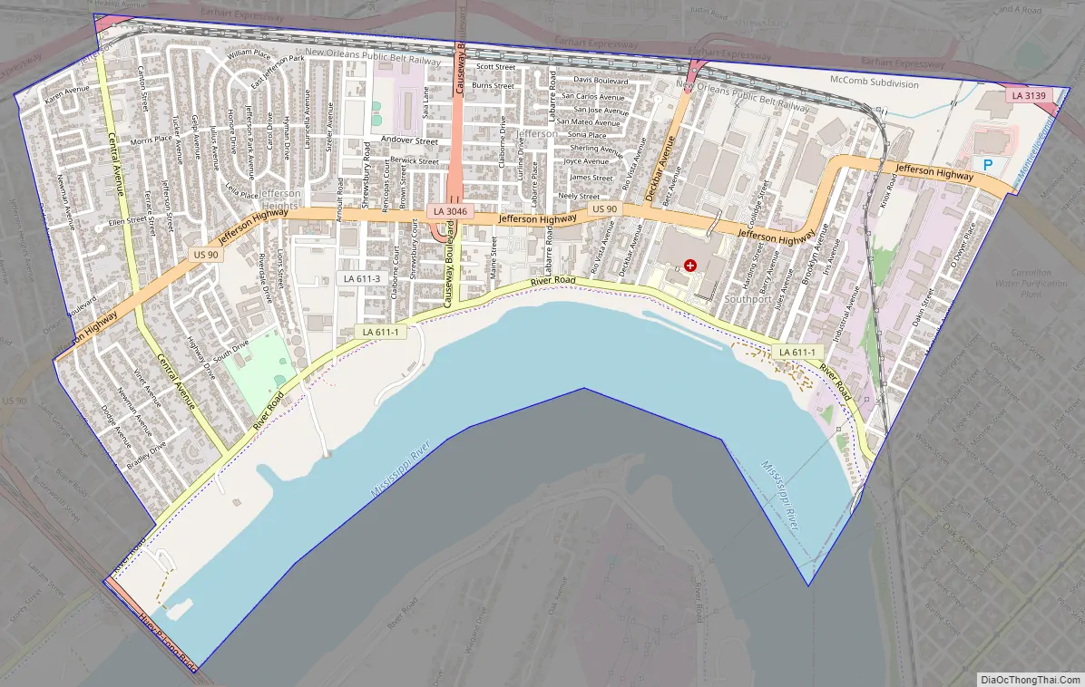
Jefferson Road Map
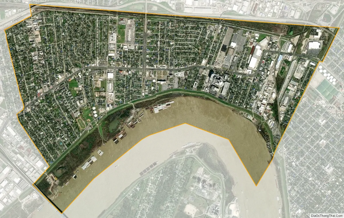
Jefferson city Satellite Map
Geography
Jefferson is located in northern Jefferson Parish at 29°57′51″N 90°9′26″W / 29.96417°N 90.15722°W / 29.96417; -90.15722 (29.964132, -90.157170). It is bordered to the north by Metairie, to the west by Elmwood, to the south, across the Mississippi River, by Bridge City, and to the east by the city of New Orleans in Orleans Parish. U.S. Route 90 (Jefferson Highway) runs through the center of the community, leading east 6 miles (10 km) to downtown New Orleans.
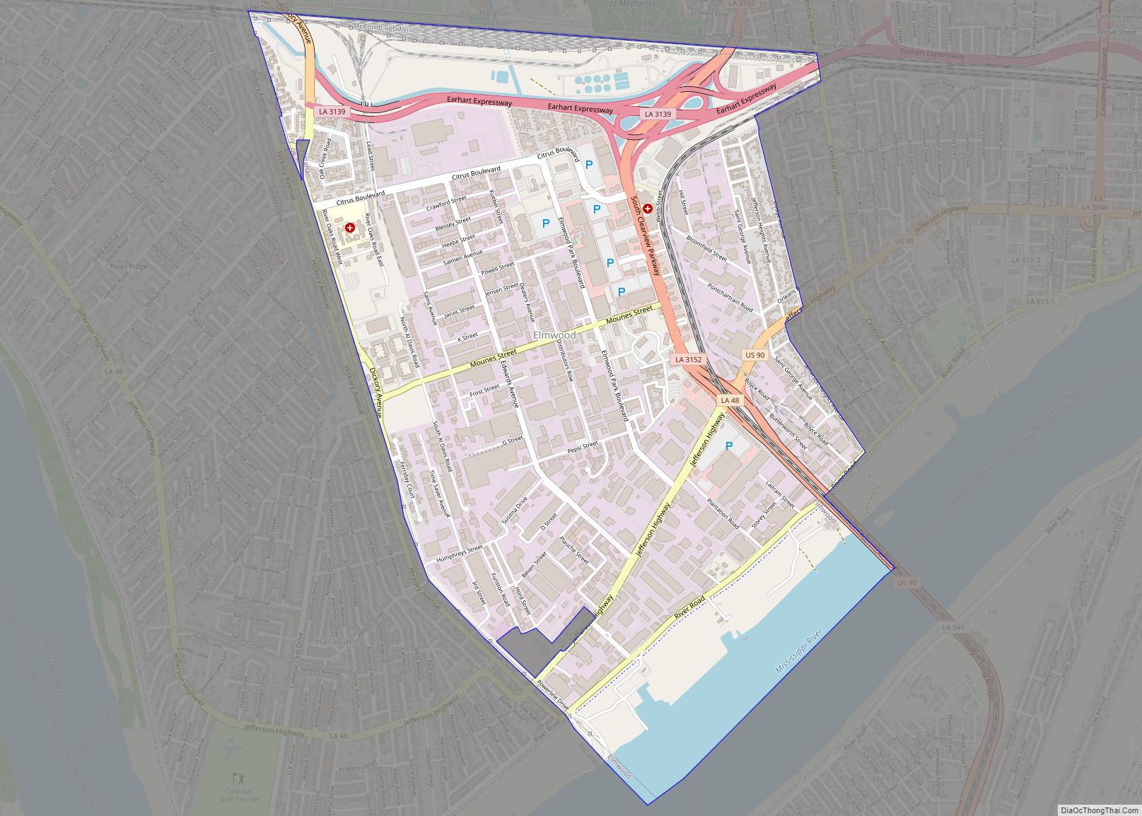
According to the United States Census Bureau, the Jefferson CDP has a total area of 3.3 square miles (8.5 km), of which 2.7 square miles (7.0 km) are land and 0.58 square miles (1.5 km), or 17.46%, are water. The western part of Jefferson’s Census area was lost to Elmwood during the 2000 census.
The northern boundary is separated from Metairie by the triple barriers of a drainage canal, railroad tracks, and the Earhart Expressway. The only open public road crossings are Causeway Boulevard and Central Avenue. Many years ago, Labarre Road and Shrewsbury Road connected from River Road to Airline Dr. Many Residents in Old Jefferson prefer the route to continue to Airline Dr. Old Jefferson is now a tucked away neighborhood. It’s largely expanding with new shops and businesses coming in. Landmarks include the Ochsner Medical Center complex.
See also
Map of Louisiana State and its subdivision:- Acadia
- Allen
- Ascension
- Assumption
- Avoyelles
- Beauregard
- Bienville
- Bossier
- Caddo
- Calcasieu
- Caldwell
- Cameron
- Catahoula
- Claiborne
- Concordia
- De Soto
- East Baton Rouge
- East Carroll
- East Feliciana
- Evangeline
- Franklin
- Grant
- Iberia
- Iberville
- Jackson
- Jefferson
- Jefferson Davis
- La Salle
- Lafayette
- Lafourche
- Lincoln
- Livingston
- Madison
- Morehouse
- Natchitoches
- Orleans
- Ouachita
- Plaquemines
- Pointe Coupee
- Rapides
- Red River
- Richland
- Sabine
- Saint Bernard
- Saint Charles
- Saint Helena
- Saint James
- Saint John the Baptist
- Saint Landry
- Saint Martin
- Saint Mary
- Saint Tammany
- Tangipahoa
- Tensas
- Terrebonne
- Union
- Vermilion
- Vernon
- Washington
- Webster
- West Baton Rouge
- West Carroll
- West Feliciana
- Winn
- Alabama
- Alaska
- Arizona
- Arkansas
- California
- Colorado
- Connecticut
- Delaware
- District of Columbia
- Florida
- Georgia
- Hawaii
- Idaho
- Illinois
- Indiana
- Iowa
- Kansas
- Kentucky
- Louisiana
- Maine
- Maryland
- Massachusetts
- Michigan
- Minnesota
- Mississippi
- Missouri
- Montana
- Nebraska
- Nevada
- New Hampshire
- New Jersey
- New Mexico
- New York
- North Carolina
- North Dakota
- Ohio
- Oklahoma
- Oregon
- Pennsylvania
- Rhode Island
- South Carolina
- South Dakota
- Tennessee
- Texas
- Utah
- Vermont
- Virginia
- Washington
- West Virginia
- Wisconsin
- Wyoming