Jackson is a town in East Feliciana Parish, Louisiana, United States. The population was 3,842 at the 2010 U.S. census, down from 4,130 in 2000; the 2020 population estimates program determined Jackson had a population of 3,707. It is part of the Baton Rouge metropolitan statistical area.
| Name: | Jackson town |
|---|---|
| LSAD Code: | 43 |
| LSAD Description: | town (suffix) |
| State: | Louisiana |
| County: | East Feliciana Parish |
| Elevation: | 151 ft (46 m) |
| Total Area: | 4.47 sq mi (11.58 km²) |
| Land Area: | 4.46 sq mi (11.56 km²) |
| Water Area: | 0.01 sq mi (0.02 km²) |
| Total Population: | 3,990 |
| Population Density: | 893.82/sq mi (345.07/km²) |
| Area code: | 225 |
| FIPS code: | 2237830 |
| Website: | www.jacksonla.com |
Online Interactive Map
Click on ![]() to view map in "full screen" mode.
to view map in "full screen" mode.
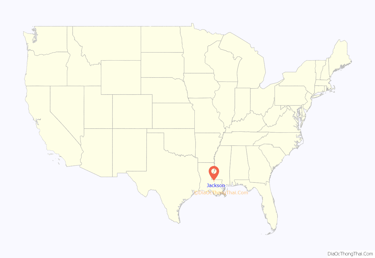
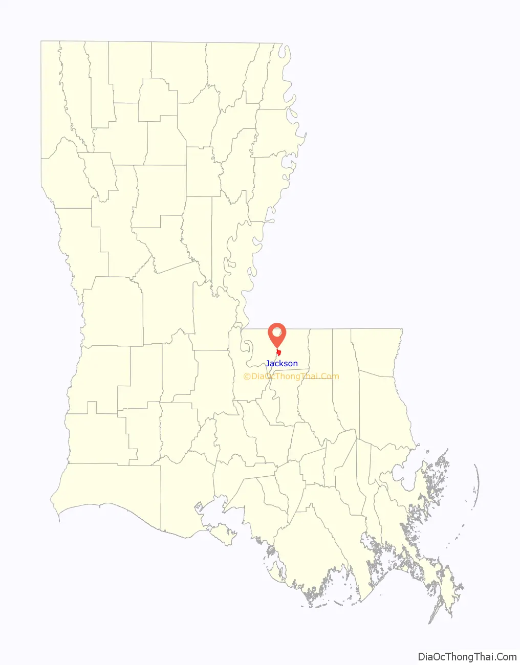
Jackson location map. Where is Jackson town?
History
The town of Jackson was founded in 1815 as the seat of justice for Feliciana Parish before the parish was divided into East and West. The town was a major commercial center and a center for education, earning it the title “Athens of the South”. Legend holds that the town was originally called “Bear Corners” for the many wild black bears crossing nearby Thompson Creek, and that it eventually took its name from General Andrew Jackson, who reportedly camped there with his troops on the return trip north after the 1815 Battle of New Orleans.
Jackson was the parish seat only until 1824, when Feliciana Parish was split into two parishes, with Clinton selected as the new seat of government in East Feliciana.
Jackson was the location of the College of Louisiana from 1825 until 1845, and then the Methodist-affiliated Centenary College from 1845 until 1908, when it relocated to Shreveport.
The East Louisiana State Hospital was founded in Jackson in 1847.
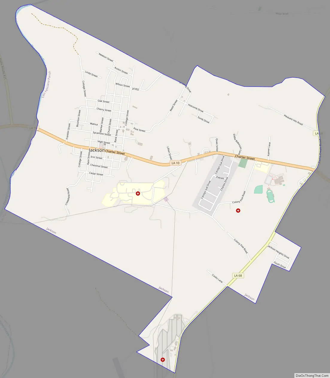
Jackson Road Map
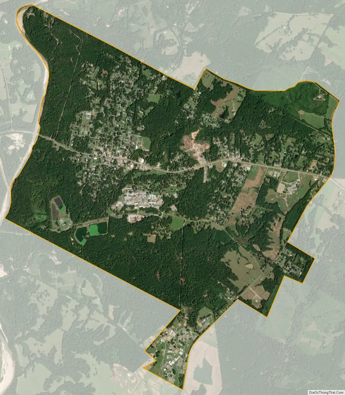
Jackson city Satellite Map
Geography
Jackson is located on the western edge of East Feliciana Parish at 30°52′15″N 91°12′52″W / 30.87083°N 91.21444°W / 30.87083; -91.21444 (30.837588, -91.214436). The town’s western border is Thompson Creek, which is also the border with West Feliciana Parish. Louisiana Highway 10 passes through Jackson, leading east 12 miles (19 km) to Clinton and west 12 miles to St. Francisville overlooking the Mississippi River.
According to the United States Census Bureau, Jackson has a total area of 4.5 square miles (11.6 km), of which 0.01 square miles (0.02 km), or 0.15%, is water.
See also
Map of Louisiana State and its subdivision:- Acadia
- Allen
- Ascension
- Assumption
- Avoyelles
- Beauregard
- Bienville
- Bossier
- Caddo
- Calcasieu
- Caldwell
- Cameron
- Catahoula
- Claiborne
- Concordia
- De Soto
- East Baton Rouge
- East Carroll
- East Feliciana
- Evangeline
- Franklin
- Grant
- Iberia
- Iberville
- Jackson
- Jefferson
- Jefferson Davis
- La Salle
- Lafayette
- Lafourche
- Lincoln
- Livingston
- Madison
- Morehouse
- Natchitoches
- Orleans
- Ouachita
- Plaquemines
- Pointe Coupee
- Rapides
- Red River
- Richland
- Sabine
- Saint Bernard
- Saint Charles
- Saint Helena
- Saint James
- Saint John the Baptist
- Saint Landry
- Saint Martin
- Saint Mary
- Saint Tammany
- Tangipahoa
- Tensas
- Terrebonne
- Union
- Vermilion
- Vernon
- Washington
- Webster
- West Baton Rouge
- West Carroll
- West Feliciana
- Winn
- Alabama
- Alaska
- Arizona
- Arkansas
- California
- Colorado
- Connecticut
- Delaware
- District of Columbia
- Florida
- Georgia
- Hawaii
- Idaho
- Illinois
- Indiana
- Iowa
- Kansas
- Kentucky
- Louisiana
- Maine
- Maryland
- Massachusetts
- Michigan
- Minnesota
- Mississippi
- Missouri
- Montana
- Nebraska
- Nevada
- New Hampshire
- New Jersey
- New Mexico
- New York
- North Carolina
- North Dakota
- Ohio
- Oklahoma
- Oregon
- Pennsylvania
- Rhode Island
- South Carolina
- South Dakota
- Tennessee
- Texas
- Utah
- Vermont
- Virginia
- Washington
- West Virginia
- Wisconsin
- Wyoming


