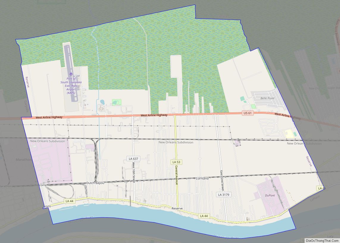
Reserve is an unincorporated community in St. John the Baptist Parish, Louisiana, United States. It is located on the east bank of the Mississippi River. The population was 9,111 at the 2000 census. For statistical purposes, the United States Census Bureau has defined Reserve as a census-designated place (CDP). Reserve CDP overview: Name: Reserve CDP ... Read more
Louisiana Cities and Places
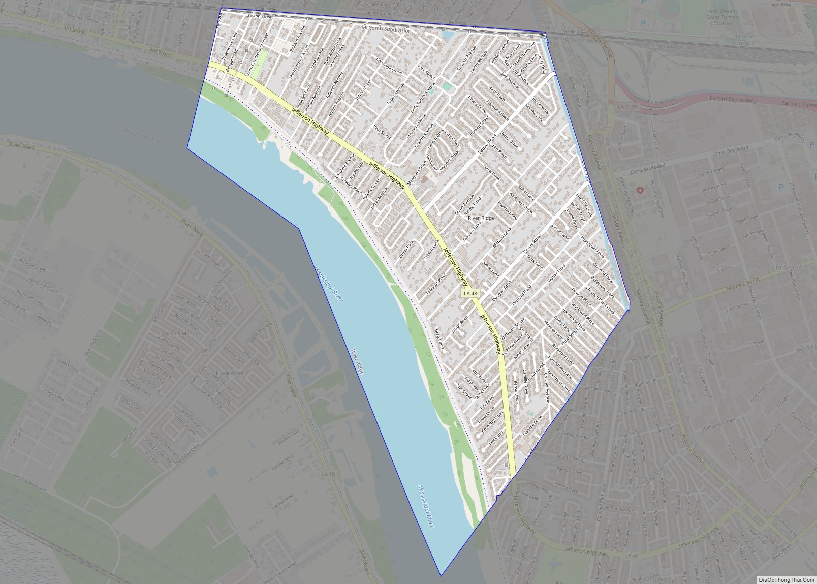
River Ridge is an unincorporated community and census-designated place (CDP) in Jefferson Parish, Louisiana, United States. It is a suburb of New Orleans. The population was 13,591 in 2020. River Ridge CDP overview: Name: River Ridge CDP LSAD Code: 57 LSAD Description: CDP (suffix) State: Louisiana County: Jefferson Parish Total Area: 3.55 sq mi (9.19 km²) Land Area: ... Read more
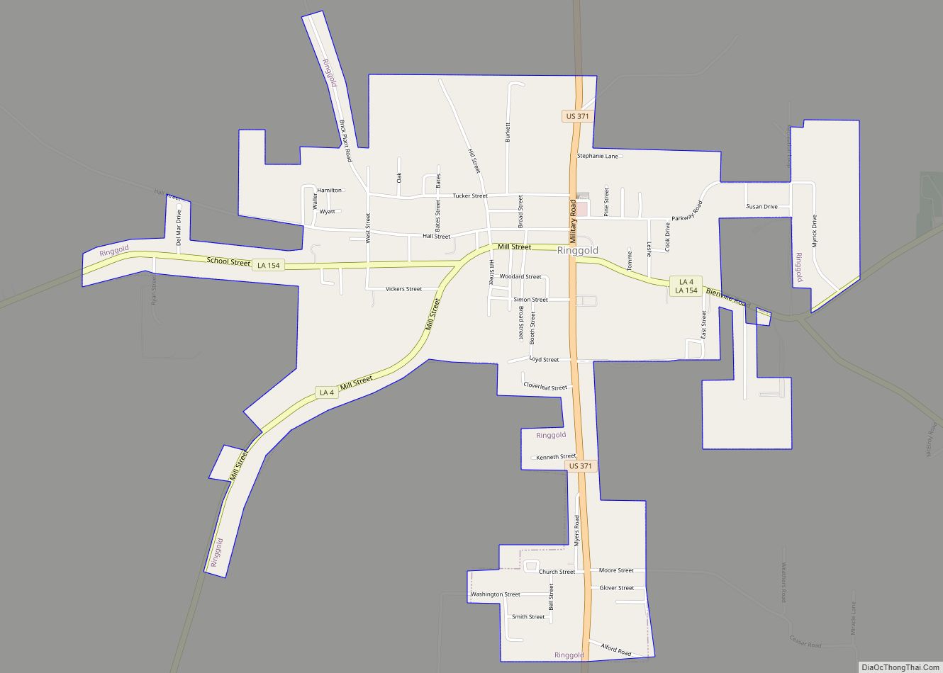
Ringgold is a town in the U.S. state of Louisiana, in the western half of Bienville Parish. The town of Ringgold is named for United States Army Major Samuel Ringgold. The population of Ringgold was 1,495 at the 2010 census, and 1,370 at the U.S. Census Bureau’s 2019 estimates, down from 1,601 in 2018. The ... Read more
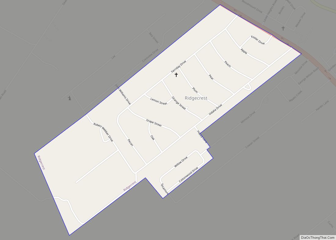
Ridgecrest is a small town in Concordia Parish, Louisiana, United States. The population was 694 at the 2010 census. Ridgecrest town overview: Name: Ridgecrest town LSAD Code: 43 LSAD Description: town (suffix) State: Louisiana County: Concordia Parish Elevation: 52 ft (16 m) Total Area: 0.43 sq mi (1.11 km²) Land Area: 0.43 sq mi (1.11 km²) Water Area: 0.00 sq mi (0.00 km²) Total Population: 583 ... Read more
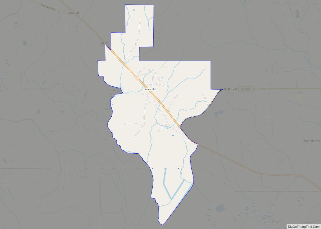
Rock Hill is an unincorporated community and census-designated place (CDP) in Grant Parish, Louisiana, United States. As of the 2010 census it had a population of 274. Rock Hill is located in southwestern Grant Parish along U.S. Route 71, which leads northwest 10 miles (16 km) to Colfax, the parish seat, and southeast 17 miles (27 km) ... Read more
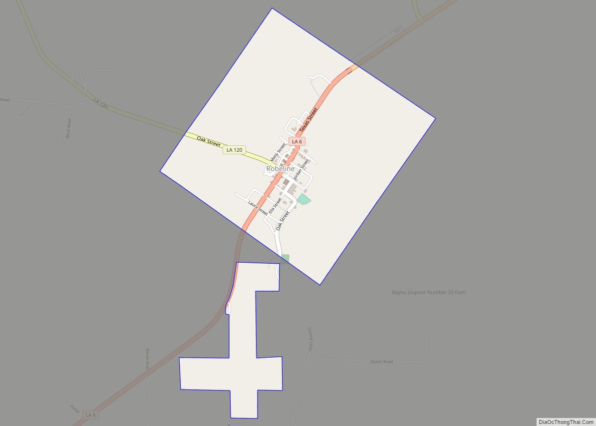
Robeline is a village in western Natchitoches Parish, Louisiana, United States. The population was 183 at the 2000 census. It is part of the Natchitoches Micropolitan Statistical Area. Robeline village overview: Name: Robeline village LSAD Code: 47 LSAD Description: village (suffix) State: Louisiana County: Natchitoches Parish Total Area: 1.19 sq mi (3.08 km²) Land Area: 1.19 sq mi (3.08 km²) Water ... Read more
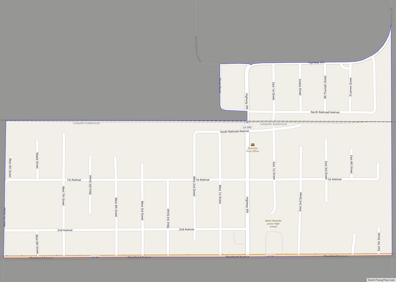
Roanoke is an unincorporated community and census-designated place in Jefferson Davis Parish, Louisiana, United States. Its population was 546 as of the 2010 census. The Roanoke post office was established in 1895. Roanoke CDP overview: Name: Roanoke CDP LSAD Code: 57 LSAD Description: CDP (suffix) State: Louisiana County: Jefferson Davis Parish Elevation: 26 ft (8 m) Total ... Read more
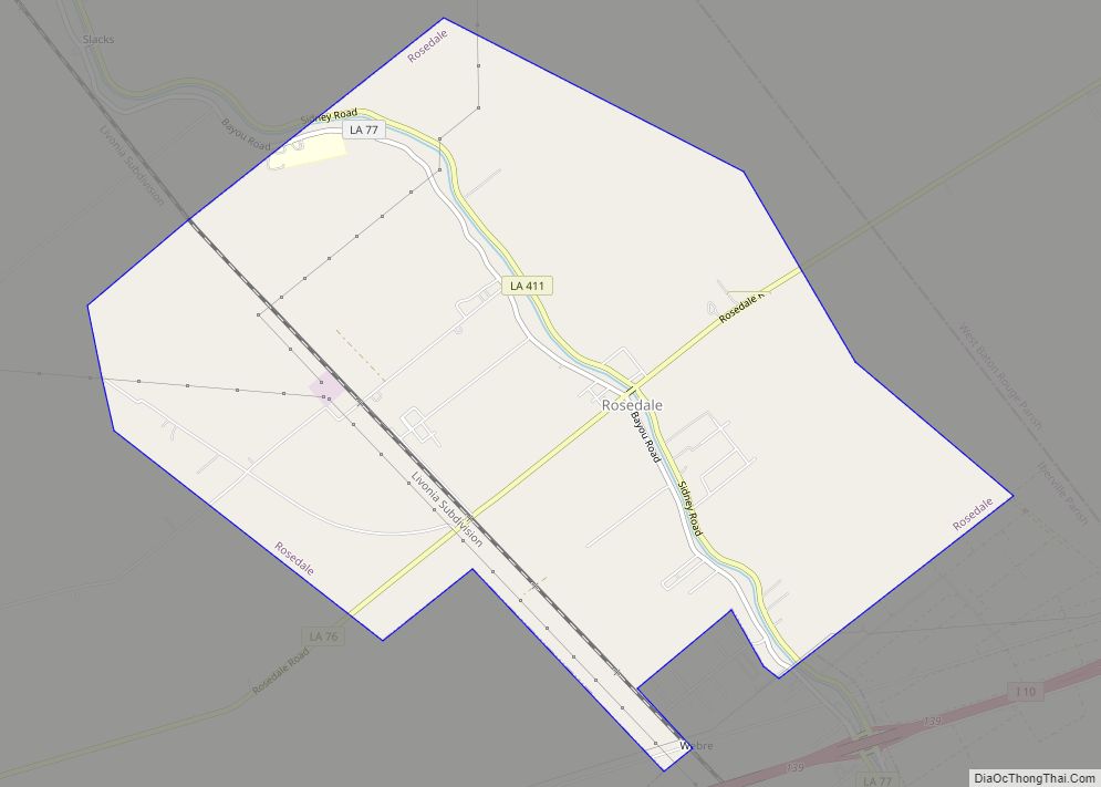
Rosedale is a village in Iberville Parish, Louisiana, United States. The population was 664 in 2020. It is part of the Baton Rouge metropolitan statistical area. Rosedale village overview: Name: Rosedale village LSAD Code: 47 LSAD Description: village (suffix) State: Louisiana County: Iberville Parish Elevation: 20 ft (6 m) Total Area: 7.78 sq mi (20.15 km²) Land Area: 7.78 sq mi (20.15 km²) ... Read more
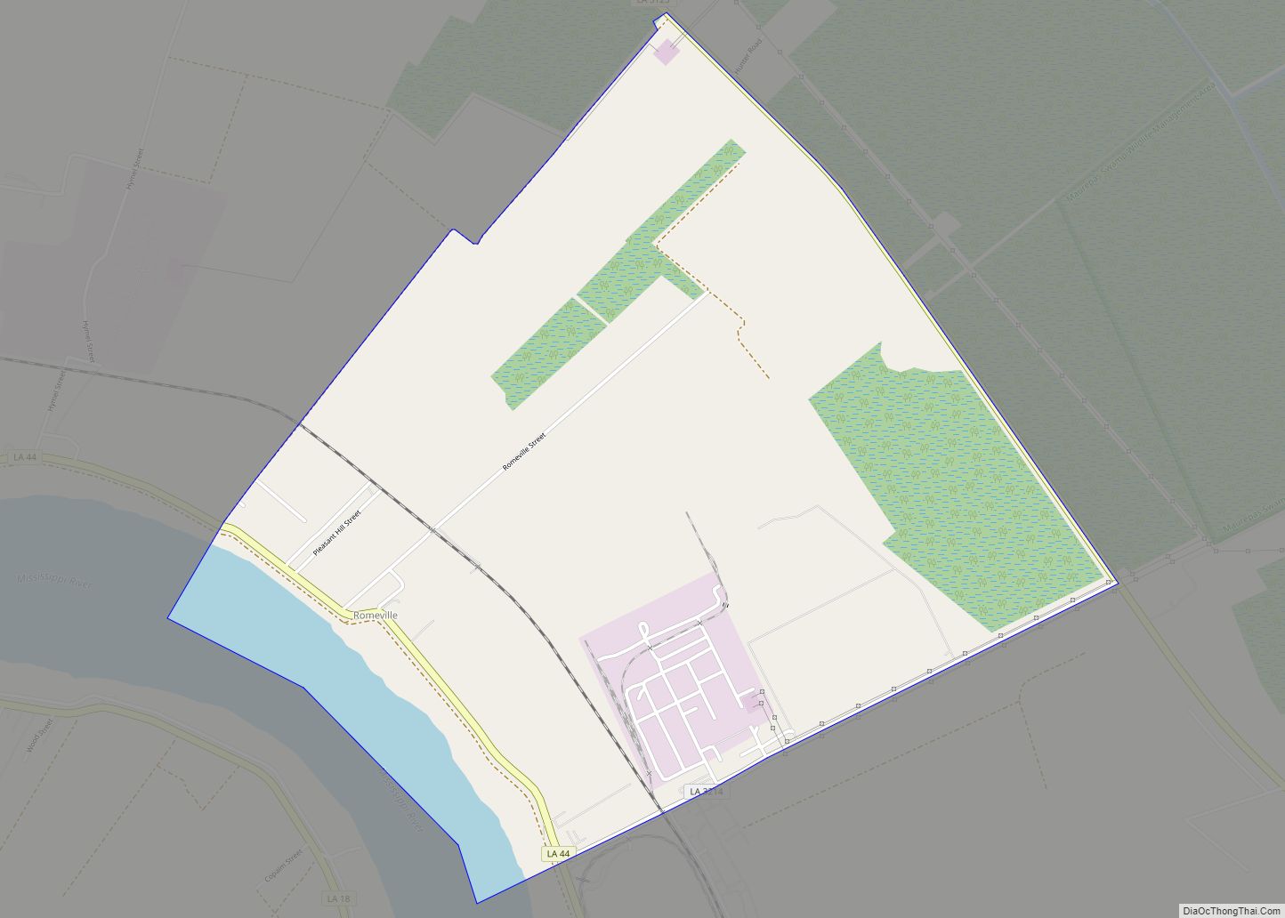
Romeville is an unincorporated community and census-designated place in St. James Parish, Louisiana, United States. Its population was 130 as of the 2010 census. The community is located along Louisiana Highway 44 on the east bank of the Mississippi River. Romeville CDP overview: Name: Romeville CDP LSAD Code: 57 LSAD Description: CDP (suffix) State: Louisiana ... Read more
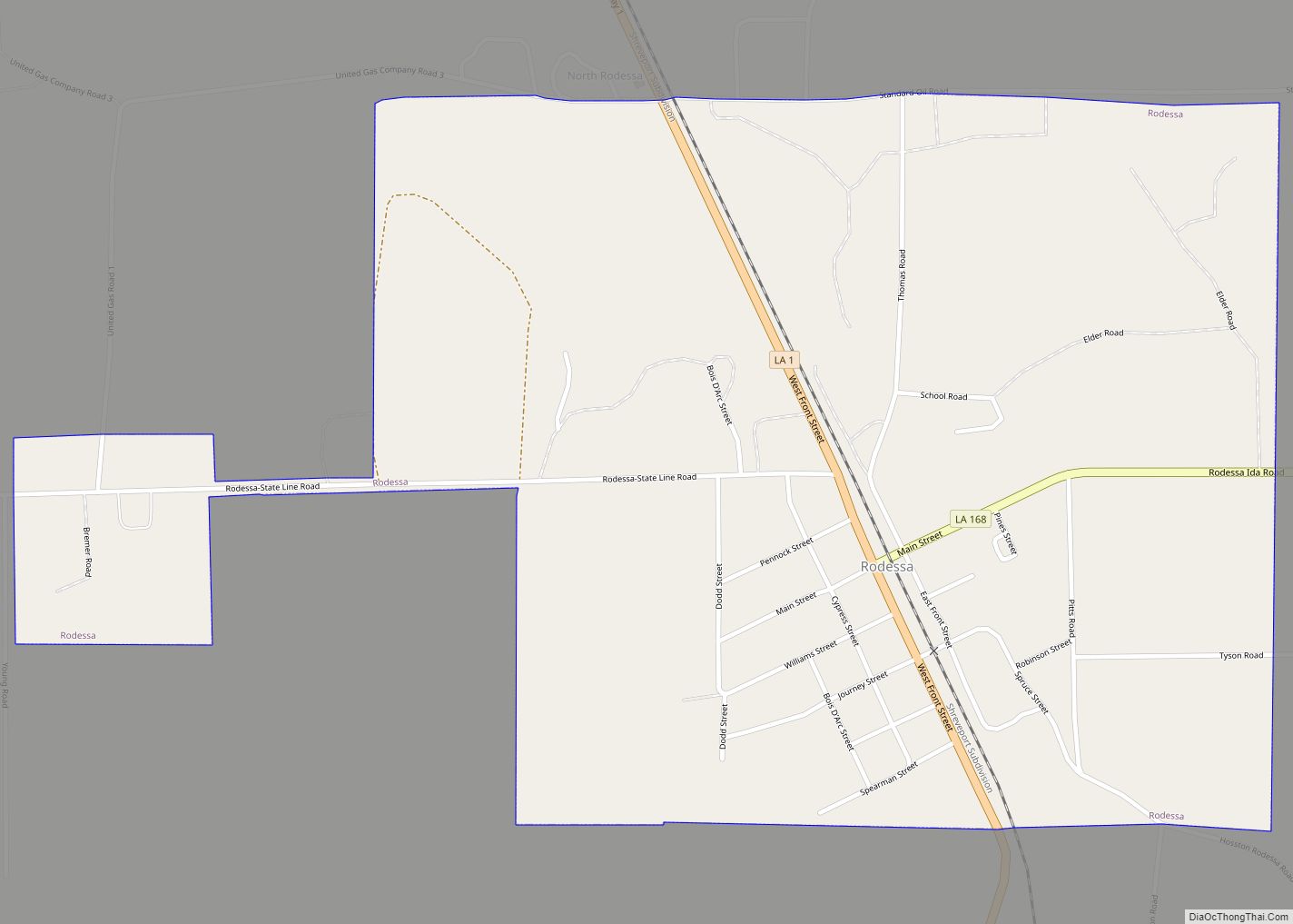
Rodessa is a village in Caddo Parish, Louisiana, United States. The population was 270 at the 2010 census. It is part of the Shreveport–Bossier City Metropolitan Statistical Area. Rodessa village overview: Name: Rodessa village LSAD Code: 47 LSAD Description: village (suffix) State: Louisiana County: Caddo Parish Elevation: 230 ft (70 m) Total Area: 1.20 sq mi (3.12 km²) Land Area: ... Read more
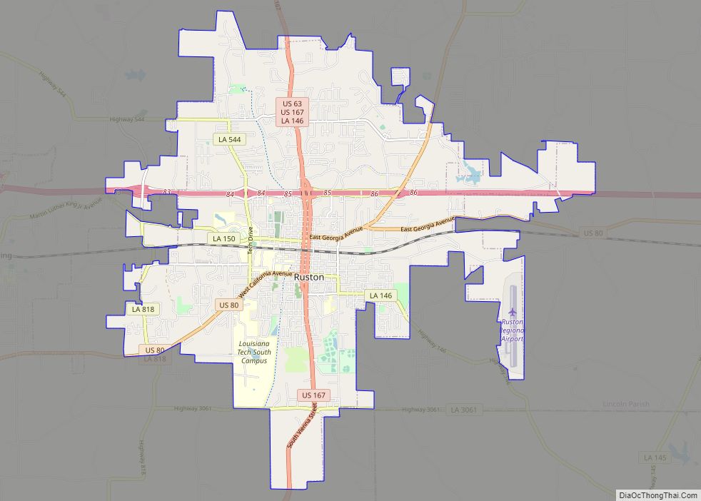
Ruston is a small city and the parish seat of Lincoln Parish, Louisiana, United States. It is the largest city in the Eastern Ark-La-Tex region, with a 2020 population of 22,166. Ruston is near the eastern border of the Ark-La-Tex region and is the home of Louisiana Tech University. Ruston is the principal city of ... Read more
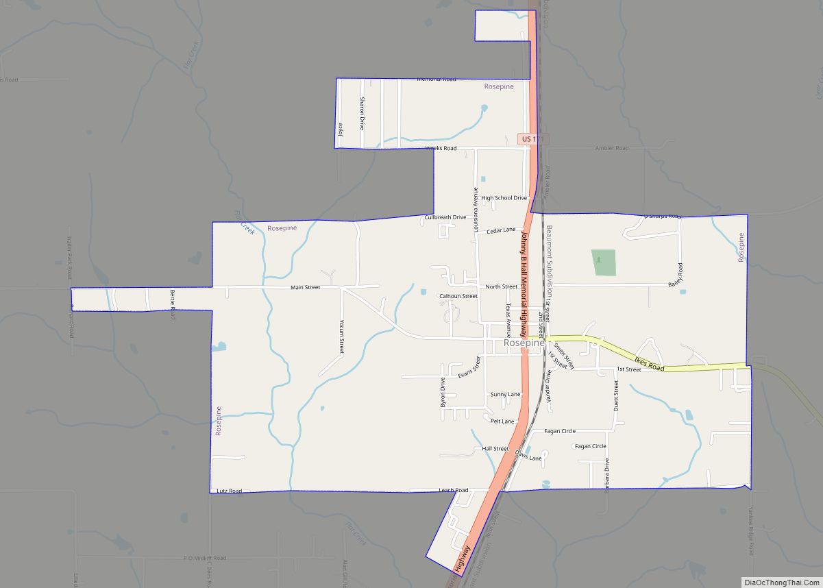
Rosepine is a town in Vernon Parish, Louisiana, United States. The population was 1,692 at the 2010 census. It is part of the Fort Polk South Micropolitan Statistical Area. Rosepine town overview: Name: Rosepine town LSAD Code: 43 LSAD Description: town (suffix) State: Louisiana County: Vernon Parish Elevation: 230 ft (70 m) Total Area: 2.43 sq mi (6.30 km²) Land ... Read more
