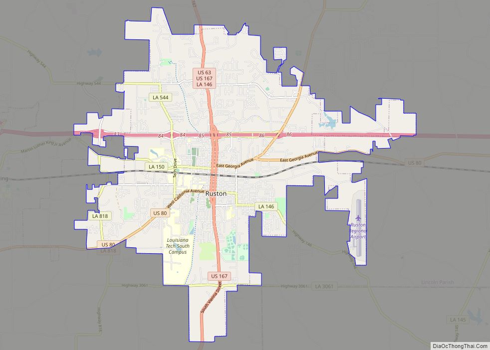
Ruston is a small city and the parish seat of Lincoln Parish, Louisiana, United States. It is the largest city in the Eastern Ark-La-Tex region, with a 2020 population of 22,166. Ruston is near the eastern border of the Ark-La-Tex region and is the home of Louisiana Tech University. Ruston is the principal city of the Ruston micropolitan statistical area, which includes all of Lincoln Parish.
| Name: | Ruston city |
|---|---|
| LSAD Code: | 25 |
| LSAD Description: | city (suffix) |
| State: | Louisiana |
| County: | Lincoln Parish |
| Incorporated: | 1885 |
| Elevation: | 331 ft (101 m) |
| Total Area: | 21.26 sq mi (55.05 km²) |
| Land Area: | 21.19 sq mi (54.88 km²) |
| Water Area: | 0.07 sq mi (0.18 km²) |
| Total Population: | 22,166 |
| Population Density: | 1,046.16/sq mi (403.92/km²) |
| ZIP code: | 71270, 71272, 71273 |
| Area code: | 318 |
| FIPS code: | 2266655 |
| Website: | ruston.org |
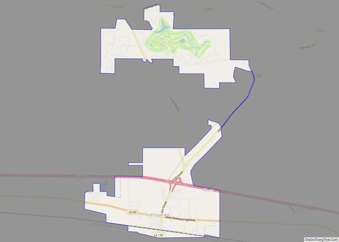
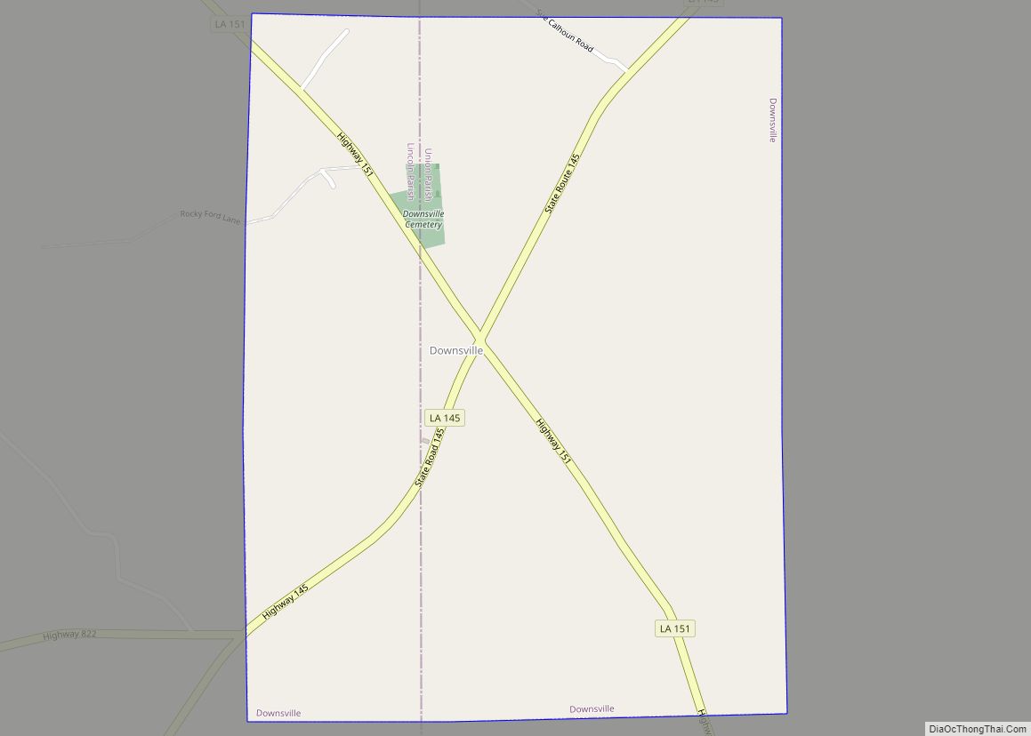
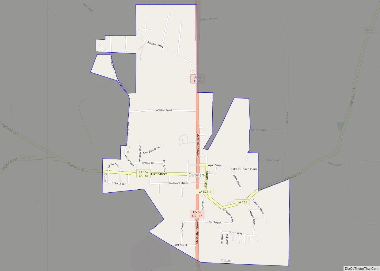
Online Interactive Map
Click on ![]() to view map in "full screen" mode.
to view map in "full screen" mode.
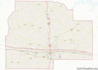
Ruston location map. Where is Ruston city?


History
During the Reconstruction Era following the Civil War, word soon reached the young parish near what is now Ruston, that the Vicksburg, Shreveport, and Pacific Railroad would begin to run across north Louisiana, linking the Deep South with the West (the current operator is Canadian Pacific Kansas City). Robert Edwin Russ, the Lincoln Parish sheriff from 1877–1880, donated 640 acres (2.6 km) to the town and this area was eventually known as Ruston (shorthand for Russ town).
In 1883, commercial and residential lots were created and sold for $375 apiece; and soon the sawing of lumber and clacking of hammers could be heard throughout the area.
As the town began to take shape, new churches, businesses, civic organizations and schools were being established. Cotton farming fueled the economy. In 1900 a second railroad, running north and south, was built through Ruston (the operator before the tracks were removed was Chicago, Rock Island and Pacific Railroad). This brought even more business and industry to the area and the population continued to provide a foundation for the local economy. By the time the U.S. entered World War I in 1917, Ruston was established as a center for learning, a place of civic pride and as an area of economic prosperity throughout the region.
1938 also exposed a dark side of Ruston for which it received national attention when an African-American teenager named R.C. Williams was lynched in one of the most brutal attacks of its type in many years. 19 year old Williams was accused by a mob of vigilantes of killing a white man and assaulting a white woman, although it was later determined to be highly unlikely that Williams was guilty of these, or any other crimes. The vigilantes captured Williams and after torturing him with red-hot pokers (castration was also suspected) and shooting him numerous times, he was hung from a tree. Although a local sheriff tried to stop the mob, they then threatened the sheriff with his own life, and the lynching continued. A grand jury of all white men later cleared all of the perpetuators of any wrong doing. The crime had a significant and long lasting impact on state and national politics, and can be directly related to the rise of segregationist demagoguery in the south.
Ruston grew steadily during the post-World War II years. The GI Bill of Rights sent war veterans to college, helped to fuel the local economy, brought growth to the two local universities, Louisiana Tech University and nearby historically black Grambling State University, and new families moved into Lincoln Parish. By the middle 1960s, Interstate 20 passed through the northern part of Ruston. This major interstate highway made Ruston more easily accessible, much as the railroad had done a century earlier. In the 1980s, the state of Louisiana economy declined as the oil industry went into a recession.
Ruston, however, continued growing steadily because of the rapid expansion of Louisiana Tech. The city also had its centennial celebration during this decade, and emphasis was placed on revitalizing the historic downtown district. A joint effort between the city and the Louisiana Main Street Program and the Louisiana Department of Historic Preservation brought forth beautification projects to rehabilitate the downtown district, and helped draw the community closer to its roots. More than fifteen buildings have been placed on the National Register of Historic Places.
The city has a new general aviation airport to serve existing business and industry, and the timber, poultry and cattle industries continue to expand.
The Arkansas Southern Railroad Company (ASRR), that became the Chicago, Rock Island and Pacific Railway (CRI&P), built a station named Chautauqua, north of Ruston that became part of the town.
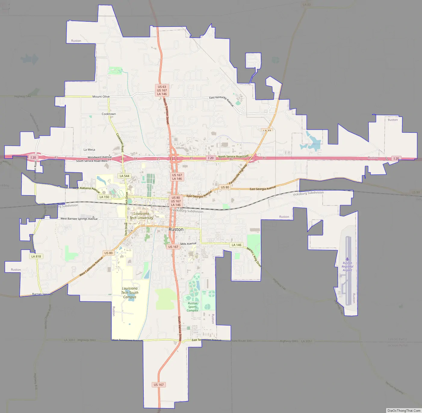
Ruston Road Map
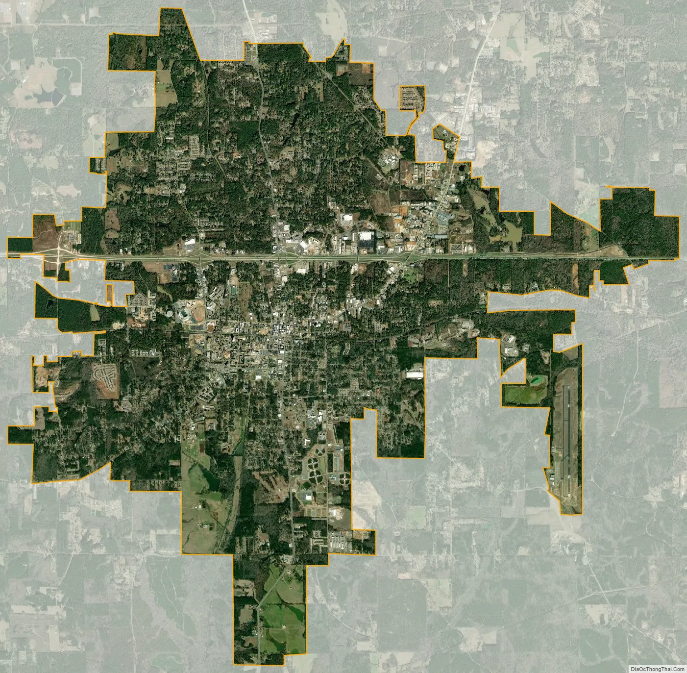
Ruston city Satellite Map
Geography
According to the United States Census Bureau, the city has a total area of 18.2 square miles (47 km), of which 18.1 square miles (47 km) is land and 0.1 square miles (0.26 km) (0.44%) is water.
Climate
See also
Map of Louisiana State and its subdivision:- Acadia
- Allen
- Ascension
- Assumption
- Avoyelles
- Beauregard
- Bienville
- Bossier
- Caddo
- Calcasieu
- Caldwell
- Cameron
- Catahoula
- Claiborne
- Concordia
- De Soto
- East Baton Rouge
- East Carroll
- East Feliciana
- Evangeline
- Franklin
- Grant
- Iberia
- Iberville
- Jackson
- Jefferson
- Jefferson Davis
- La Salle
- Lafayette
- Lafourche
- Lincoln
- Livingston
- Madison
- Morehouse
- Natchitoches
- Orleans
- Ouachita
- Plaquemines
- Pointe Coupee
- Rapides
- Red River
- Richland
- Sabine
- Saint Bernard
- Saint Charles
- Saint Helena
- Saint James
- Saint John the Baptist
- Saint Landry
- Saint Martin
- Saint Mary
- Saint Tammany
- Tangipahoa
- Tensas
- Terrebonne
- Union
- Vermilion
- Vernon
- Washington
- Webster
- West Baton Rouge
- West Carroll
- West Feliciana
- Winn
- Alabama
- Alaska
- Arizona
- Arkansas
- California
- Colorado
- Connecticut
- Delaware
- District of Columbia
- Florida
- Georgia
- Hawaii
- Idaho
- Illinois
- Indiana
- Iowa
- Kansas
- Kentucky
- Louisiana
- Maine
- Maryland
- Massachusetts
- Michigan
- Minnesota
- Mississippi
- Missouri
- Montana
- Nebraska
- Nevada
- New Hampshire
- New Jersey
- New Mexico
- New York
- North Carolina
- North Dakota
- Ohio
- Oklahoma
- Oregon
- Pennsylvania
- Rhode Island
- South Carolina
- South Dakota
- Tennessee
- Texas
- Utah
- Vermont
- Virginia
- Washington
- West Virginia
- Wisconsin
- Wyoming