Start is an unincorporated community and census-designated place in Richland Parish, Louisiana, United States. In 2010, it was named as a census-designated place with a population of 905. On September 8, 2018, Start held a community wide celebration in recognition of its centennial year as the named place of Start. Start CDP overview: Name: Start ... Read more
Louisiana Cities and Places
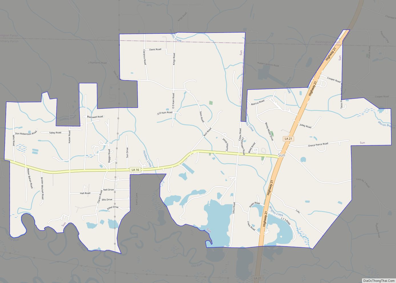
Sun is a village in the northeastern corner of St. Tammany Parish, Louisiana, United States. The population was 470 at the 2010 census. It is part of the New Orleans–Metairie–Kenner Metropolitan Statistical Area. Sun village overview: Name: Sun village LSAD Code: 47 LSAD Description: village (suffix) State: Louisiana County: St. Tammany Parish Elevation: 69 ft (21 m) ... Read more
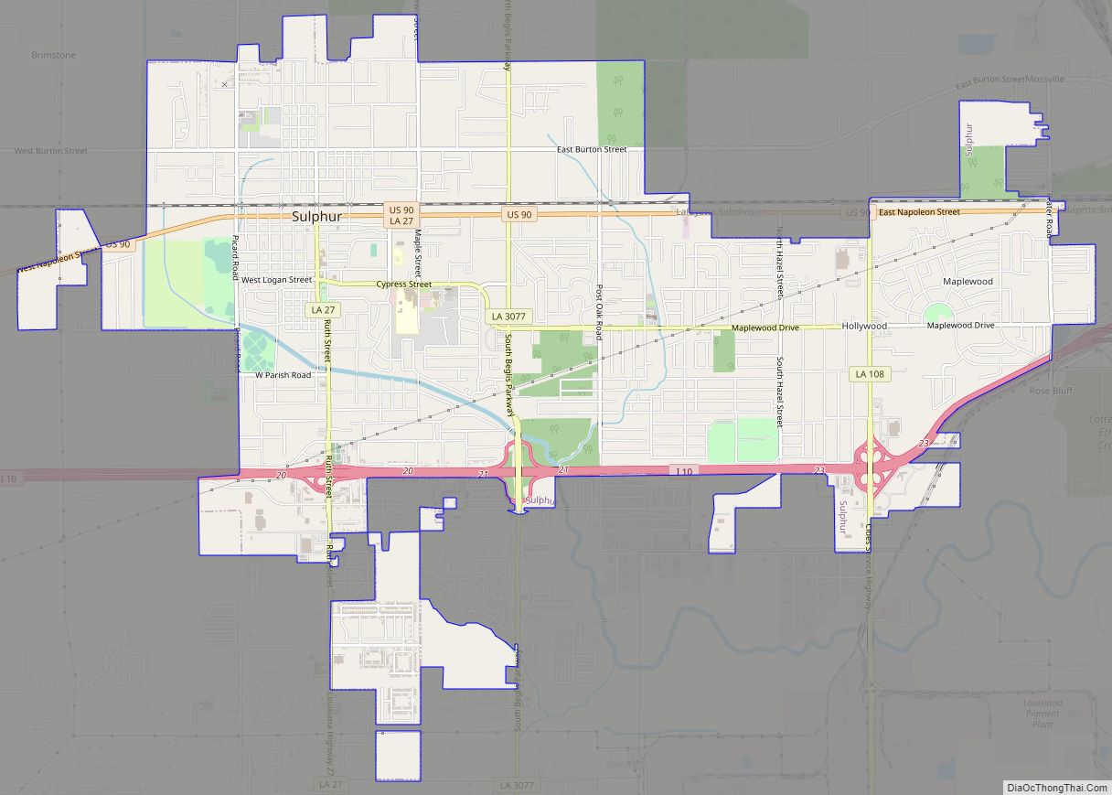
Sulphur (French: Soufre) is a city in Calcasieu Parish, Louisiana, United States. The population was 21,809 in 2020. Sulphur is part of the Lake Charles metropolitan statistical area. Sulphur city overview: Name: Sulphur city LSAD Code: 25 LSAD Description: city (suffix) State: Louisiana County: Calcasieu Parish Elevation: 16 ft (5 m) Total Area: 11.24 sq mi (29.10 km²) Land Area: ... Read more
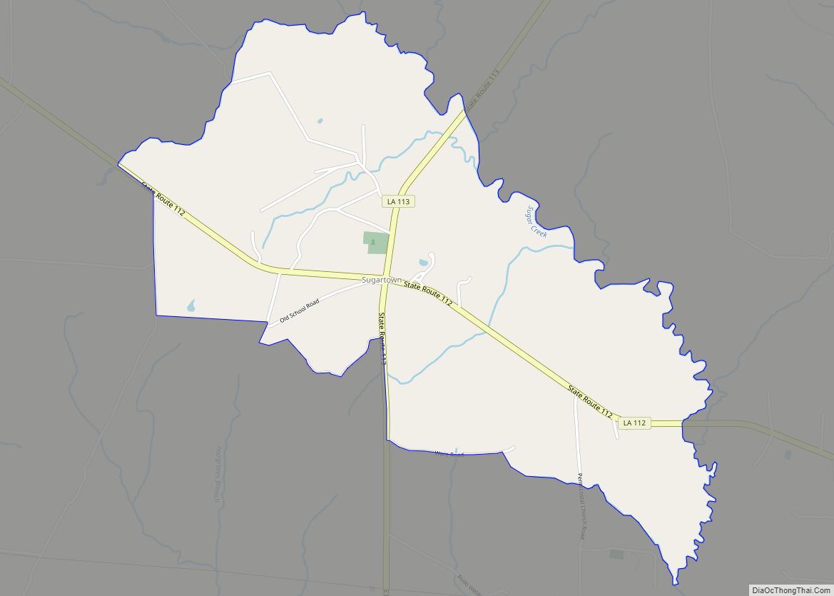
Sugartown is an unincorporated community and census-designated place in Beauregard Parish, Louisiana, United States, approximately 16 miles (26 km) east of DeRidder. As of the 2010 census it had a population of 54. The geographical center of Sugartown today is posted as the intersection of LA 112 and LA 113. The original community was much larger. ... Read more
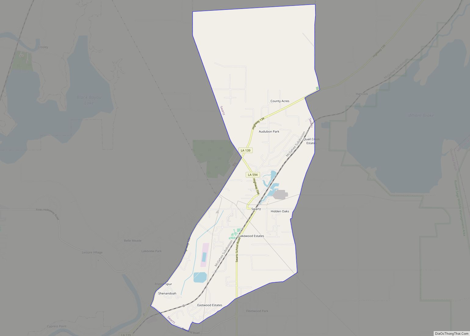
Swartz is a census-designated place (CDP) in Ouachita Parish in northeastern Louisiana, United States. The population was 4,536 in the 2010 census, an increase of 289 or 6.8 percent over the 2000 population. It is part of the Monroe Metropolitan Statistical Area. Swartz CDP overview: Name: Swartz CDP LSAD Code: 57 LSAD Description: CDP (suffix) ... Read more
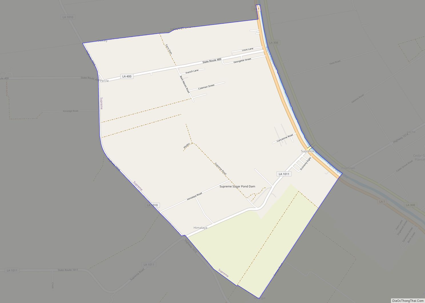
Supreme is a census-designated place (CDP) in Assumption Parish, Louisiana, United States. The population was 1,052 at the 2010 census. Supreme CDP overview: Name: Supreme CDP LSAD Code: 57 LSAD Description: CDP (suffix) State: Louisiana County: Assumption Parish Elevation: 16 ft (5 m) Total Area: 3.43 sq mi (8.90 km²) Land Area: 3.38 sq mi (8.77 km²) Water Area: 0.05 sq mi (0.13 km²) Total Population: ... Read more
Sunset is a town in St. Landry Parish, Louisiana, United States. The population was 2,897 at the 2010 census, up from 2,352 in 2000. It is part of the Opelousas–Eunice Micropolitan Statistical Area. Sunset town overview: Name: Sunset town LSAD Code: 43 LSAD Description: town (suffix) State: Louisiana County: St. Landry Parish Founded: 1904 Elevation: ... Read more
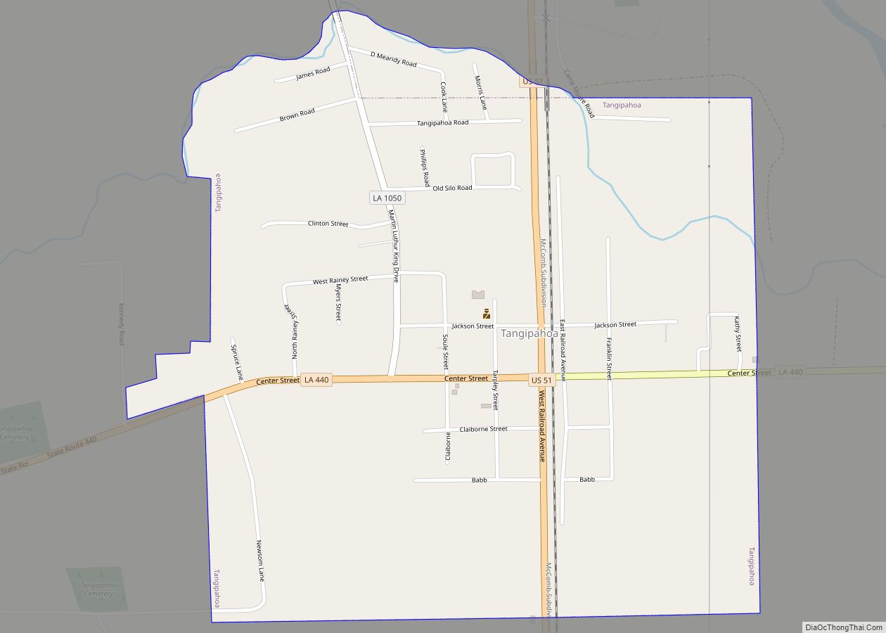
Tangipahoa is a village in Tangipahoa Parish, Louisiana, United States. The population was 425 at the 2020 census. It was named after the Tangipahoa Native American tribe. Tangipahoa is part of the Hammond Micropolitan Statistical Area. Tangipahoa village overview: Name: Tangipahoa village LSAD Code: 47 LSAD Description: village (suffix) State: Louisiana County: Tangipahoa Parish Founded: ... Read more
Tallulah /təˈluːlə/ is a city in and the parish seat of Madison Parish in northeastern Louisiana, United States. The 2010 population was 7,335, a decrease of 1,854, or 20.2 percent, from the 9,189 recorded at the 2000 census. As this was historically a center of agriculture since the antebellum years, producing cotton and pecans, Tallulah ... Read more
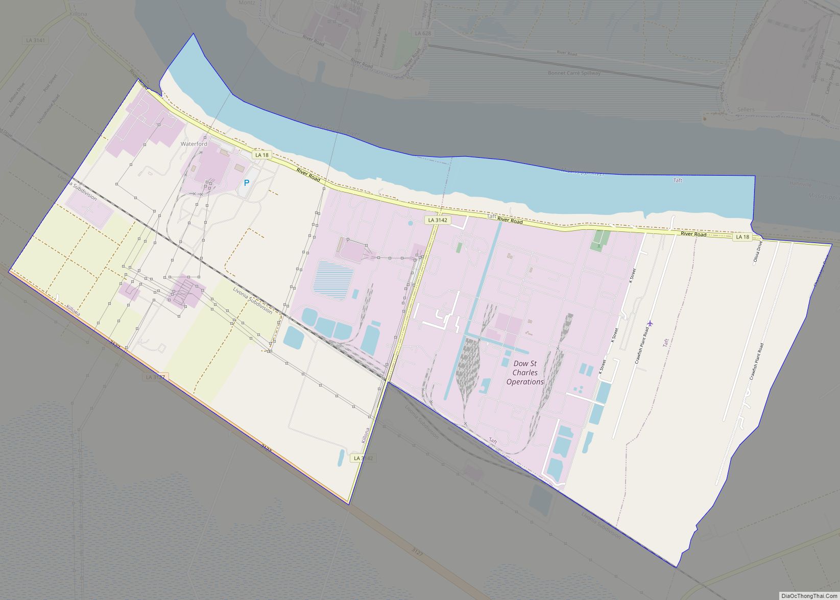
Taft was a census-designated place (CDP) in St. Charles Parish, Louisiana, United States, located on the west bank of the Mississippi River. According to the 2000 census, Taft had a total population of zero. Taft CDP overview: Name: Taft CDP LSAD Code: 57 LSAD Description: CDP (suffix) State: Louisiana County: St. Charles Parish Elevation: 13 ft ... Read more
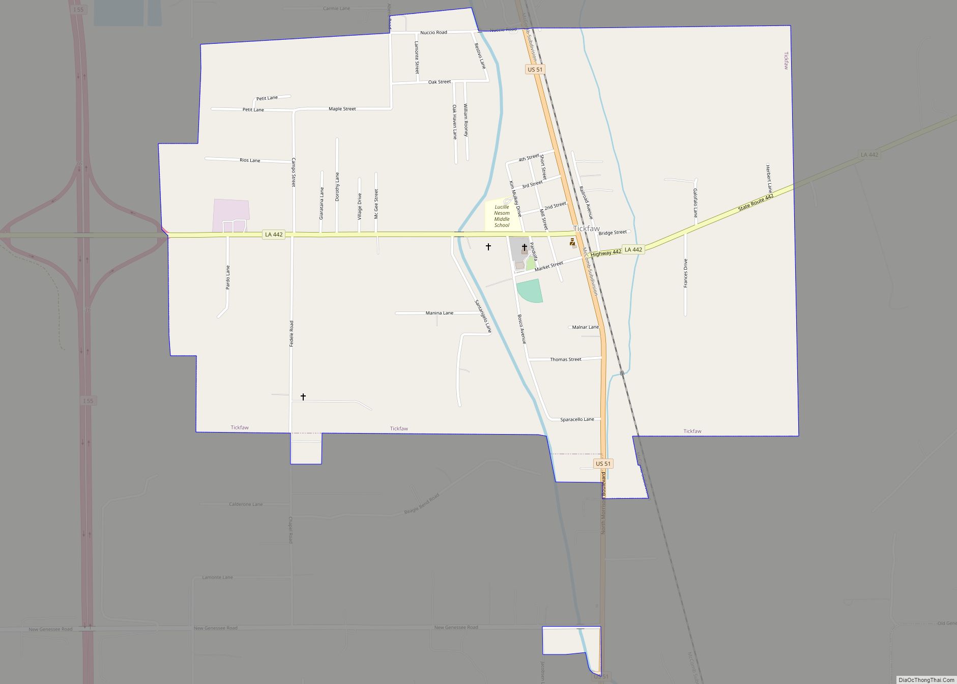
Tickfaw was founded in 1852 and is a village in Tangipahoa Parish, Louisiana, United States. The population was 694 at the 2010 census. Tickfaw is part of the Hammond Micropolitan Statistical Area. It was originally inhabited by Italian-American immigrants and continues to have a distinct Italian-American heritage. Tickfaw village overview: Name: Tickfaw village LSAD Code: ... Read more
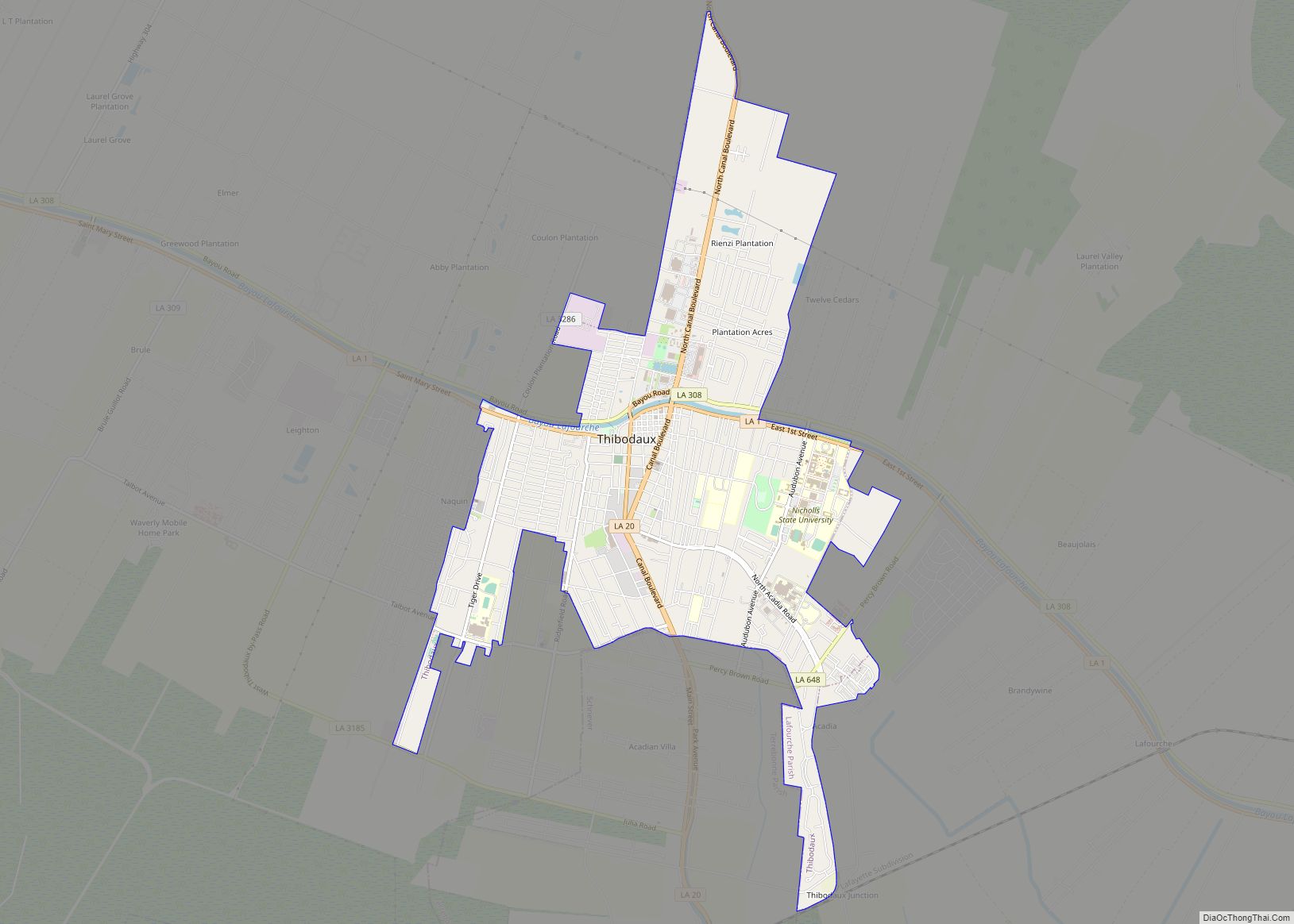
Thibodaux (/ˈtɪbədoʊ/ TIB-ə-doh) is a city in, and the parish seat of, Lafourche Parish, Louisiana, United States, along the banks of Bayou Lafourche in the northwestern part of the parish. The population was 15,948 at the 2020 census. Thibodaux is a principal city of the Houma–Bayou Cane–Thibodaux metropolitan statistical area. Thibodaux is nicknamed the “Queen ... Read more

