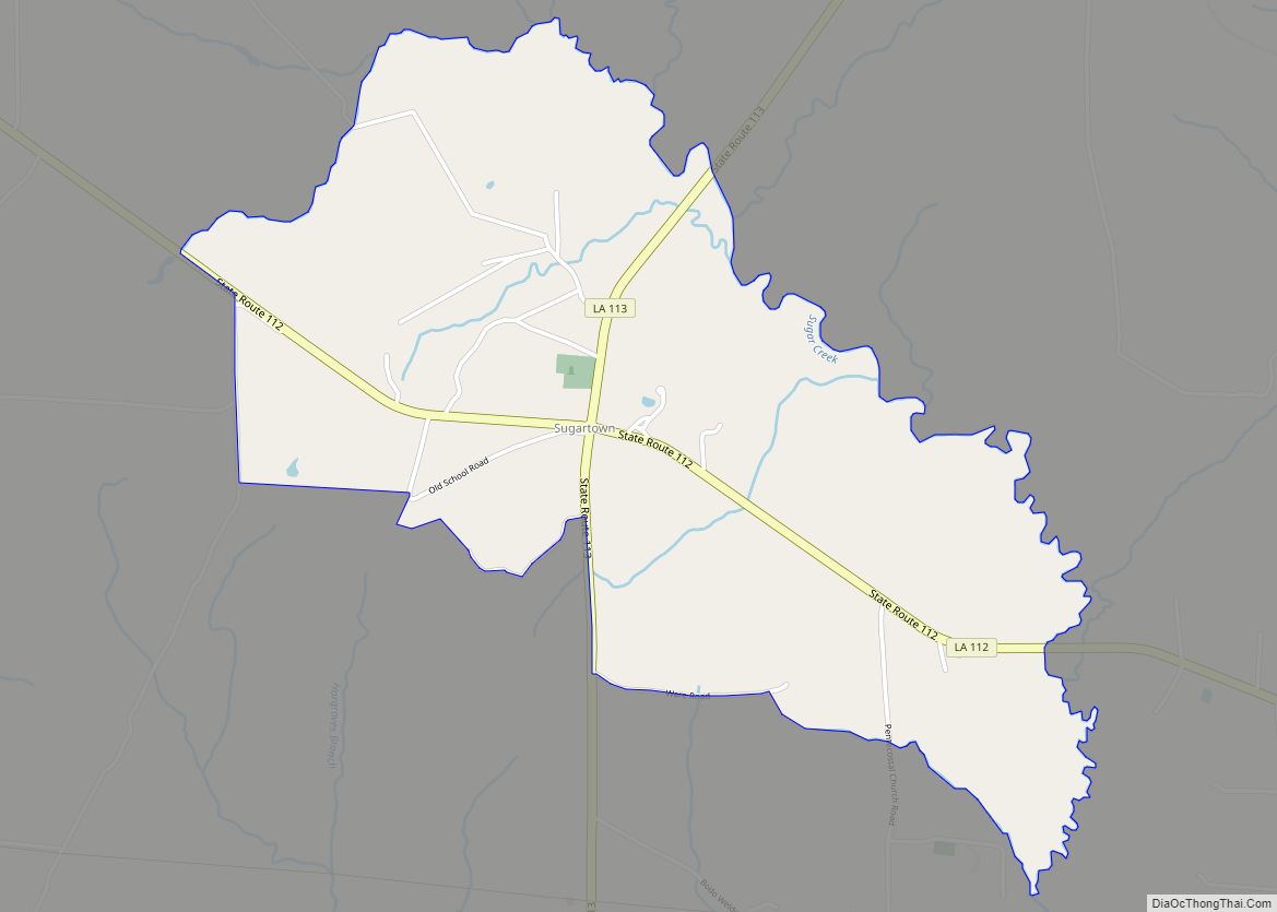
Sugartown is an unincorporated community and census-designated place in Beauregard Parish, Louisiana, United States, approximately 16 miles (26 km) east of DeRidder. As of the 2010 census it had a population of 54. The geographical center of Sugartown today is posted as the intersection of LA 112 and LA 113. The original community was much larger.
| Name: | Sugartown CDP |
|---|---|
| LSAD Code: | 57 |
| LSAD Description: | CDP (suffix) |
| State: | Louisiana |
| County: | Beauregard Parish |
| Elevation: | 104 ft (32 m) |
| Total Area: | 1.96 sq mi (5.08 km²) |
| Land Area: | 1.96 sq mi (5.07 km²) |
| Water Area: | 0.00 sq mi (0.00 km²) |
| Total Population: | 33 |
| Population Density: | 16.85/sq mi (6.50/km²) |
| ZIP code: | 70662 |
| Area code: | 337 |
| FIPS code: | 2273570 |
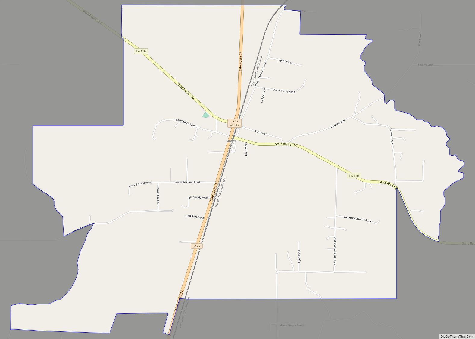
Online Interactive Map
Click on ![]() to view map in "full screen" mode.
to view map in "full screen" mode.
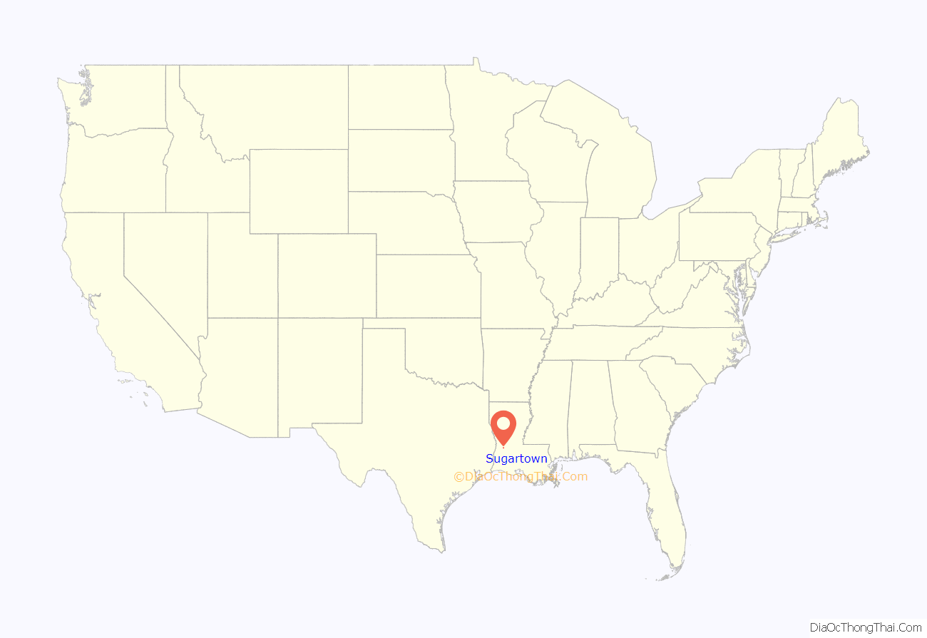
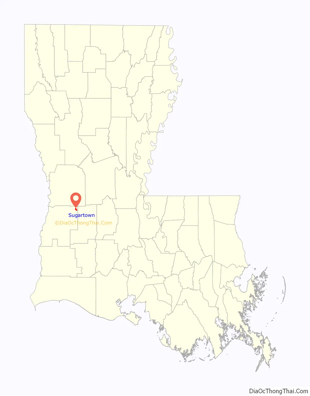
Sugartown location map. Where is Sugartown CDP?
History
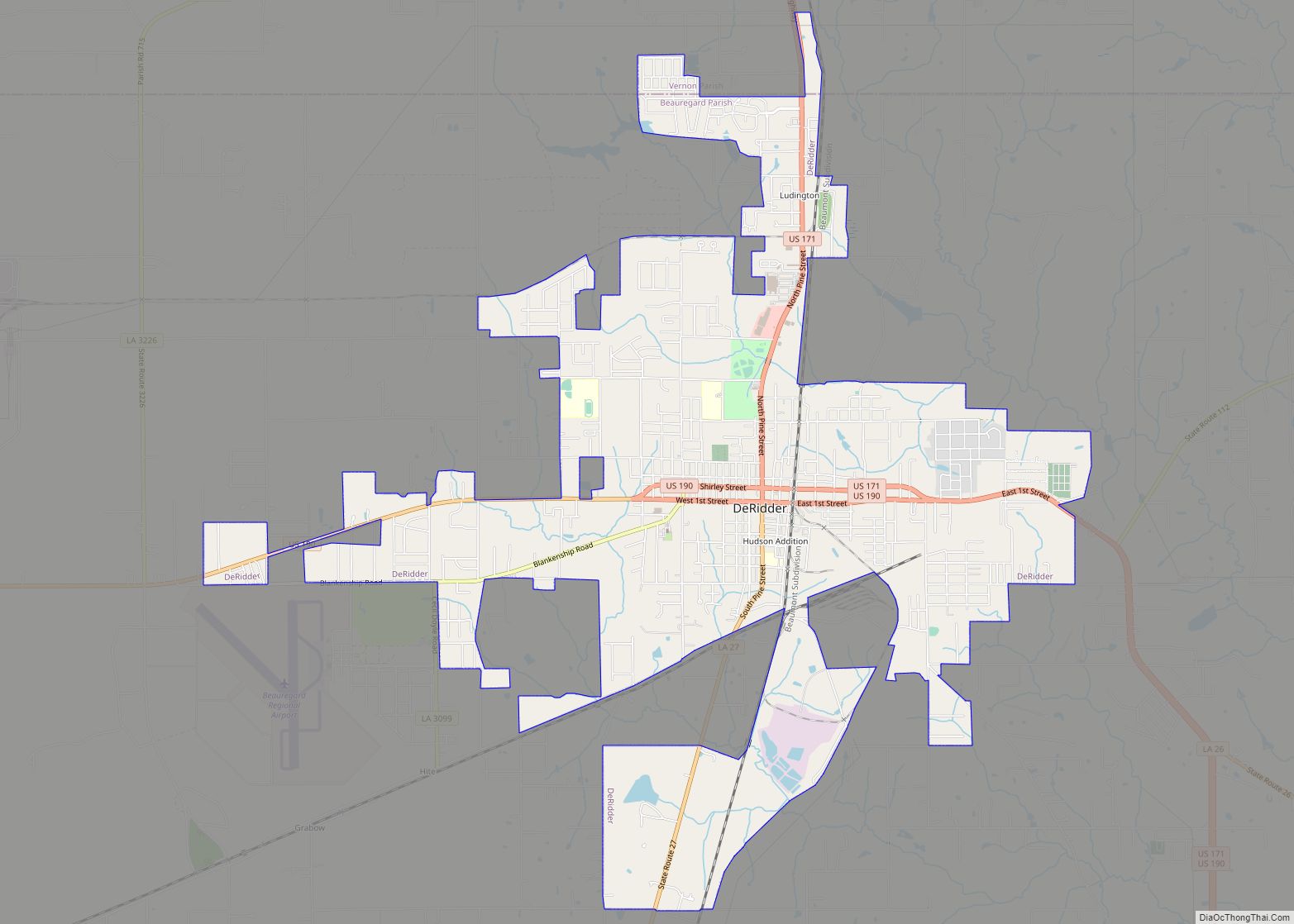
Although some individual families had come into the lower Calcasieu region earlier, the first permanent settlement in Southwest Louisiana at or around Sugartown occurred before 1818 when the area was part of the Neutral Strip. It was home to the first cotton gin west of the Calcasieu River (which operated more than 40 years), the first local school, the earliest cemetery, and the earliest church in the area. At the turn of the 20th century, Sugartown consisted of a Masonic Lodge, school, churches, racetrack, saloons, boarding houses, stores, supply houses and a doctor’s office. Although never legally incorporated, Sugartown was the center of organized community life, the recognized trade, business and economic center of the area until, due to the growth of the timber industry and the location of the railroad, DeRidder supplanted it in the early 20th century.
Township
The Sugartown township was first surveyed in 1807, after the Louisiana Purchase. The village was first a way-station and overnight camping stop for travellers because Sugar Creek is easy to ford at this point.
Sugartown eventually became the major stopping point on the well-travelled and direct route from Lake Charles to Alexandria. Large cattle drives were made along this route from the holding point near what is now the DeRidder airport to the rail shipping point at Lecompte.
First school
The Sugartown Male and Female Academy was established in 1870. It is generally recognized that this school marked the beginning of the educational system of Southwest Louisiana. W.H. Baldwin, a graduate of Columbia University, was its first professor. Pupils came to him from approximately ten parishes in Louisiana and from several counties in East Texas. Graduates of the academy became leaders in medicine, ministry, education, government and business. Their influence is still felt today in many fields of public service.
Community name
There are two stories as to how Sugartown got its name. The first is that a wagon overturned while crossing the creek, spilling its expensive and delicious cargo into the creek, thus giving birth to both the name of the creek and the town. The second story is that an early settler allowed an unwatched pot of sugar cane juice to cook too long, turning the boiling syrup into sugar.
From about 1820 to 1840, mail had to be picked up at Belgrade, Texas, at the Sabine River boat landing below Merryville. In 1841 a post office was established at Sugartown with weekly deliveries by horseback from Lake Charles via Petersburg.
Old cemetery
The earliest settlers are buried in the “Old Campground Cemetery”, one of the oldest cemeteries in the area. It is situated near the site of an ancient ford crossing of Sugar Creek and a way station where the pioneers of the early 19th century camped and rested before resuming their journeys to the West.
End of the Queen City
The population of Sugartown began to dwindle and businesses moved away when the railroads were laid to serve the busy sawmill towns of Bon Ami, Ludington, Fullerton and DeRidder. Had any of these mills or rail lines been built at Sugartown, it probably would have retained its prominent role as the leader and “Queen City of the Frontier”.
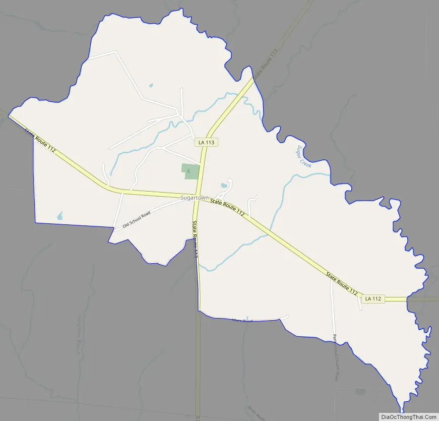
Sugartown Road Map
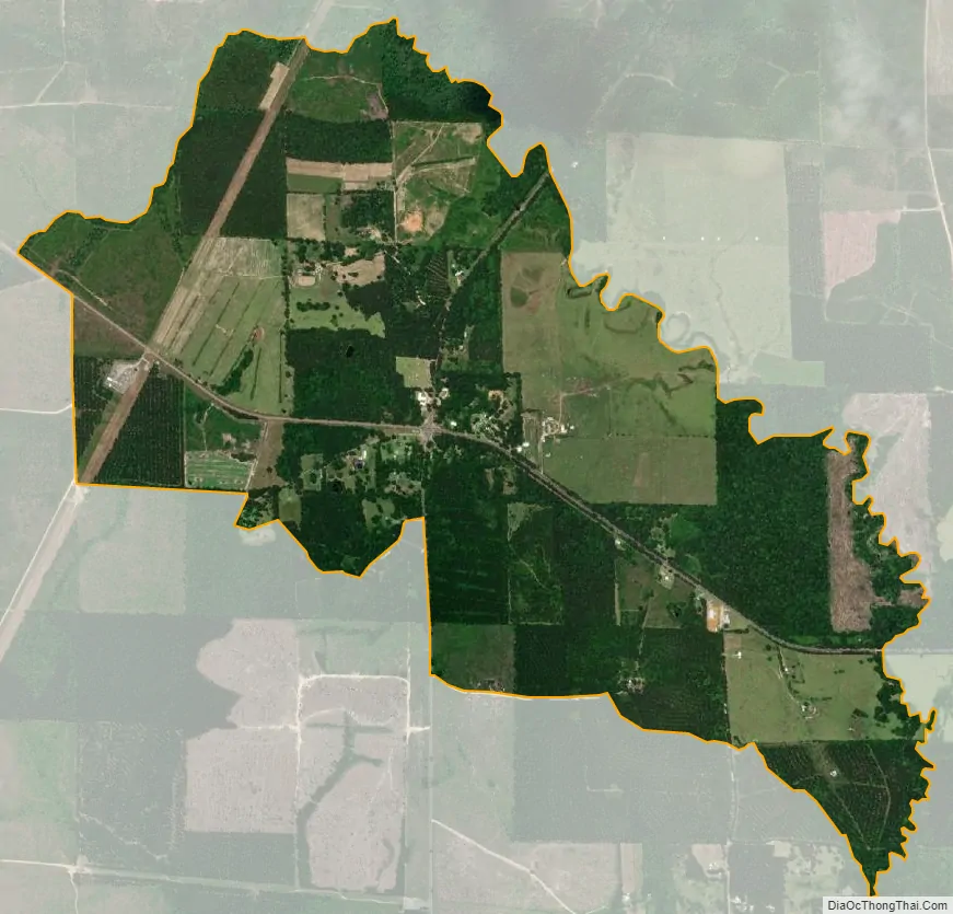
Sugartown city Satellite Map
See also
Map of Louisiana State and its subdivision:- Acadia
- Allen
- Ascension
- Assumption
- Avoyelles
- Beauregard
- Bienville
- Bossier
- Caddo
- Calcasieu
- Caldwell
- Cameron
- Catahoula
- Claiborne
- Concordia
- De Soto
- East Baton Rouge
- East Carroll
- East Feliciana
- Evangeline
- Franklin
- Grant
- Iberia
- Iberville
- Jackson
- Jefferson
- Jefferson Davis
- La Salle
- Lafayette
- Lafourche
- Lincoln
- Livingston
- Madison
- Morehouse
- Natchitoches
- Orleans
- Ouachita
- Plaquemines
- Pointe Coupee
- Rapides
- Red River
- Richland
- Sabine
- Saint Bernard
- Saint Charles
- Saint Helena
- Saint James
- Saint John the Baptist
- Saint Landry
- Saint Martin
- Saint Mary
- Saint Tammany
- Tangipahoa
- Tensas
- Terrebonne
- Union
- Vermilion
- Vernon
- Washington
- Webster
- West Baton Rouge
- West Carroll
- West Feliciana
- Winn
- Alabama
- Alaska
- Arizona
- Arkansas
- California
- Colorado
- Connecticut
- Delaware
- District of Columbia
- Florida
- Georgia
- Hawaii
- Idaho
- Illinois
- Indiana
- Iowa
- Kansas
- Kentucky
- Louisiana
- Maine
- Maryland
- Massachusetts
- Michigan
- Minnesota
- Mississippi
- Missouri
- Montana
- Nebraska
- Nevada
- New Hampshire
- New Jersey
- New Mexico
- New York
- North Carolina
- North Dakota
- Ohio
- Oklahoma
- Oregon
- Pennsylvania
- Rhode Island
- South Carolina
- South Dakota
- Tennessee
- Texas
- Utah
- Vermont
- Virginia
- Washington
- West Virginia
- Wisconsin
- Wyoming