Start is an unincorporated community and census-designated place in Richland Parish, Louisiana, United States. In 2010, it was named as a census-designated place with a population of 905. On September 8, 2018, Start held a community wide celebration in recognition of its centennial year as the named place of Start.
| Name: | Start CDP |
|---|---|
| LSAD Code: | 57 |
| LSAD Description: | CDP (suffix) |
| State: | Louisiana |
| County: | Richland Parish |
| Elevation: | 69 ft (21 m) |
| Land Area: | 3.52 sq mi (9.11 km²) |
| Water Area: | 0.09 sq mi (0.23 km²) |
| Population Density: | 279.14/sq mi (107.78/km²) |
| Area code: | 318 |
| FIPS code: | 2273010 |
Online Interactive Map
Click on ![]() to view map in "full screen" mode.
to view map in "full screen" mode.
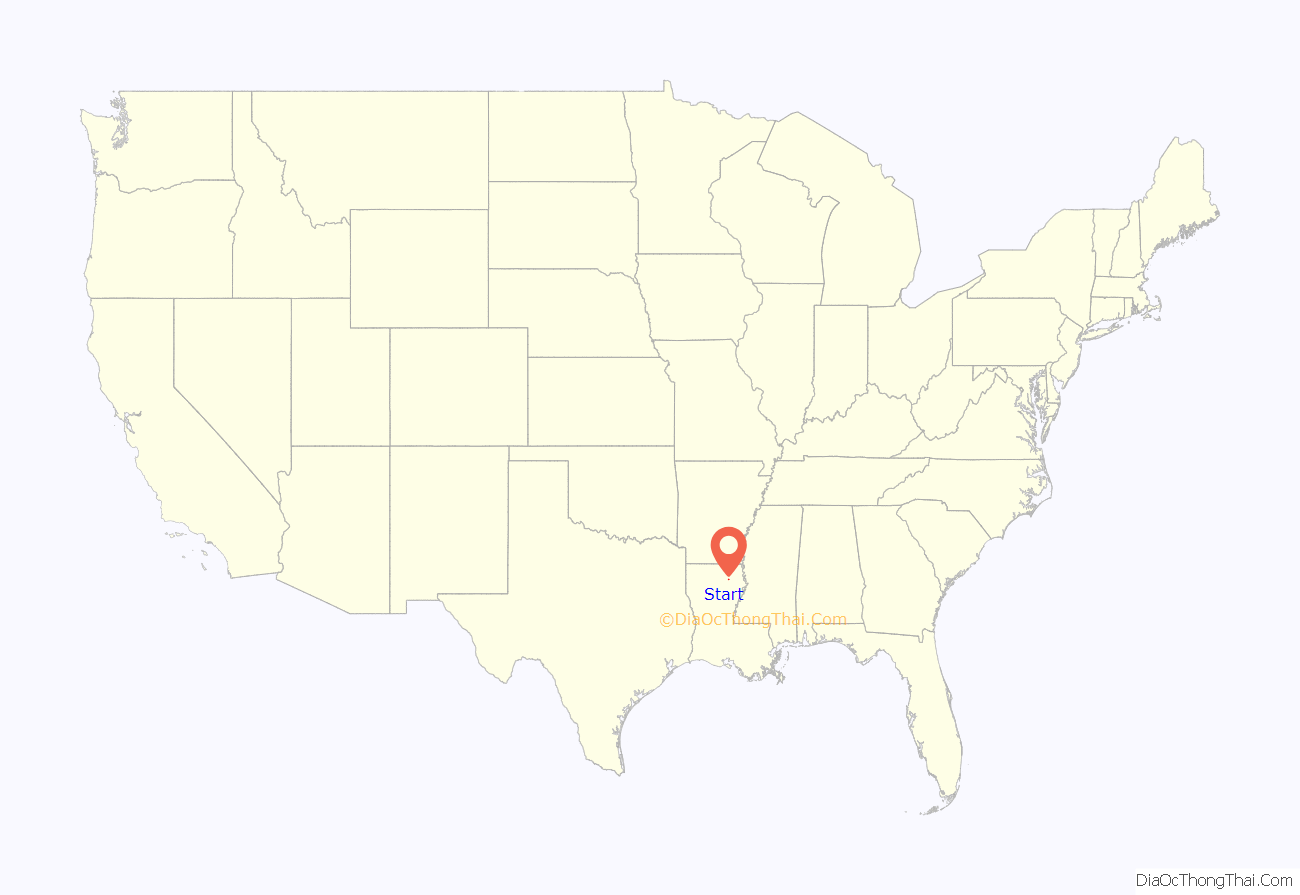
Start location map. Where is Start CDP?
History
Prior to the creation of Richland Parish in 1868, The area now recognized as Start was situated in Morehouse Parish. After the new parish of Richland was formed, this area was often referred to as Ward 3, Crew Lake, Charleston, or Wynn Island. Start officially derived its name in 1918 when the United States Postal Service officially accepted it as new name of the community. Charleston was originally submitted, but this name was rejected. The owner of a small mercantile store in Start named James M. Morgan was granted permission to receive mail at his store, but the area would need a permanent name. James Morgan’s daughter, Rachel, suggested that they name the community Start, because they were making a new Start. This name was officially approved by the USPS on September 7, 1918. Louisiana Public Broadcasting aired a segment in 2006 on Louisiana: The State We’re In, detailing how the community came up with the name of Start. In the summer on 1923, the Richland Parish School Board passed a motion to advertise for bids on a new high school building, to be known once constructed as Start High School. Marie Robinson was the sole graduate of Start’s first graduating class, held in the spring of 1925.
Up until November 29, 1930 mail was continually delivered to both Start and Crew Lake, (located directly west of Start.) After this date, Crew Lake ceased to also serve as a post office location, and the primary hub for mail became Start.
In 1937, Congressman Newt V. Mills announced that the Resettlement Administration, (a New Deal program initiated under President Franklin D. Roosevelt), had purchased the 3,000 acre Millsaps Plantation. This program provided for approximately 40 new families to move in to the Start community.
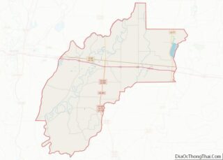
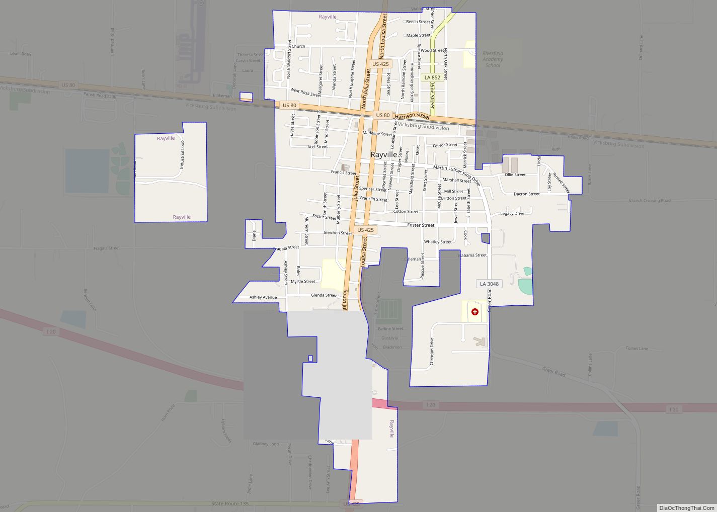
Start Road Map
Start city Satellite Map
Geography
Start is located at 32°29′11″N 91°51′33″W / 32.48639°N 91.85917°W / 32.48639; -91.85917 (32.48639, -91.85917). Start is located near the Boeuf River to the east and Lafourche Diversion Canal to its west. A small tributary called Crew Lake flows through the community.
See also
Map of Louisiana State and its subdivision:- Acadia
- Allen
- Ascension
- Assumption
- Avoyelles
- Beauregard
- Bienville
- Bossier
- Caddo
- Calcasieu
- Caldwell
- Cameron
- Catahoula
- Claiborne
- Concordia
- De Soto
- East Baton Rouge
- East Carroll
- East Feliciana
- Evangeline
- Franklin
- Grant
- Iberia
- Iberville
- Jackson
- Jefferson
- Jefferson Davis
- La Salle
- Lafayette
- Lafourche
- Lincoln
- Livingston
- Madison
- Morehouse
- Natchitoches
- Orleans
- Ouachita
- Plaquemines
- Pointe Coupee
- Rapides
- Red River
- Richland
- Sabine
- Saint Bernard
- Saint Charles
- Saint Helena
- Saint James
- Saint John the Baptist
- Saint Landry
- Saint Martin
- Saint Mary
- Saint Tammany
- Tangipahoa
- Tensas
- Terrebonne
- Union
- Vermilion
- Vernon
- Washington
- Webster
- West Baton Rouge
- West Carroll
- West Feliciana
- Winn
- Alabama
- Alaska
- Arizona
- Arkansas
- California
- Colorado
- Connecticut
- Delaware
- District of Columbia
- Florida
- Georgia
- Hawaii
- Idaho
- Illinois
- Indiana
- Iowa
- Kansas
- Kentucky
- Louisiana
- Maine
- Maryland
- Massachusetts
- Michigan
- Minnesota
- Mississippi
- Missouri
- Montana
- Nebraska
- Nevada
- New Hampshire
- New Jersey
- New Mexico
- New York
- North Carolina
- North Dakota
- Ohio
- Oklahoma
- Oregon
- Pennsylvania
- Rhode Island
- South Carolina
- South Dakota
- Tennessee
- Texas
- Utah
- Vermont
- Virginia
- Washington
- West Virginia
- Wisconsin
- Wyoming
