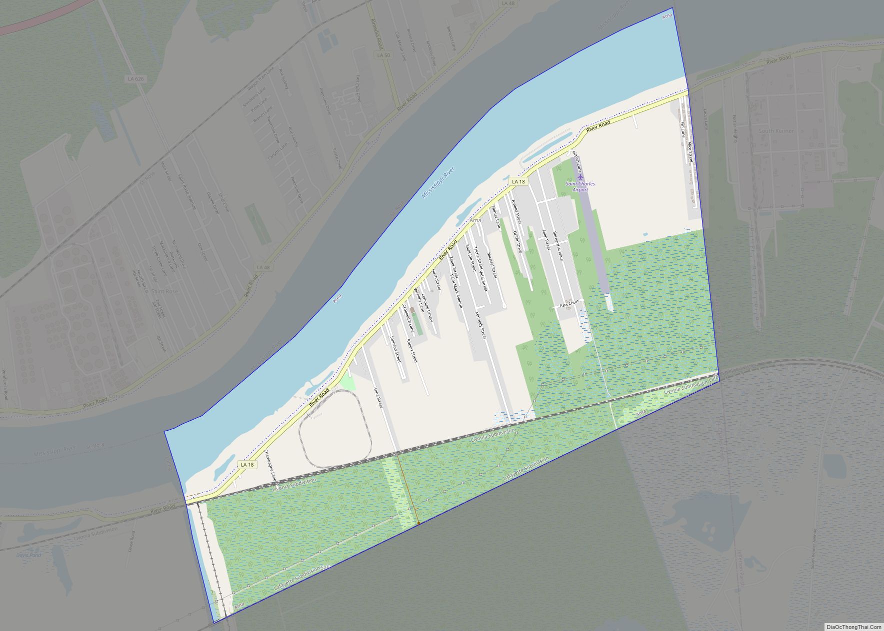
Taft was a census-designated place (CDP) in St. Charles Parish, Louisiana, United States, located on the west bank of the Mississippi River. According to the 2000 census, Taft had a total population of zero.
| Name: | Taft CDP |
|---|---|
| LSAD Code: | 57 |
| LSAD Description: | CDP (suffix) |
| State: | Louisiana |
| County: | St. Charles Parish |
| Elevation: | 13 ft (4 m) |
| Total Area: | 5.64 sq mi (14.60 km²) |
| Land Area: | 4.98 sq mi (12.90 km²) |
| Water Area: | 0.66 sq mi (1.70 km²) |
| Total Population: | 61 |
| Population Density: | 12.24/sq mi (4.73/km²) |
| Area code: | 985 |
| FIPS code: | 2274550 |
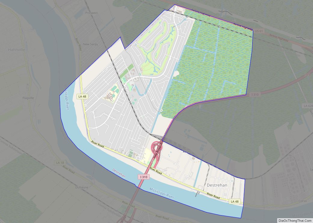
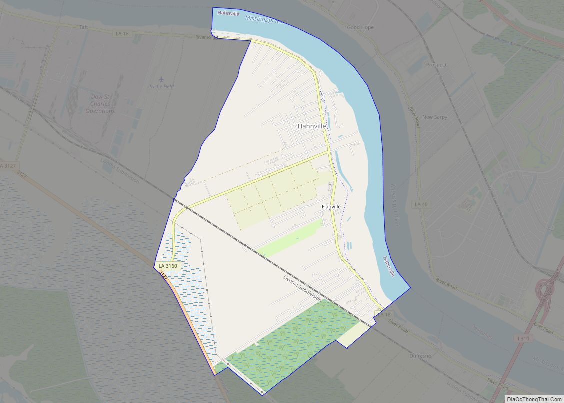
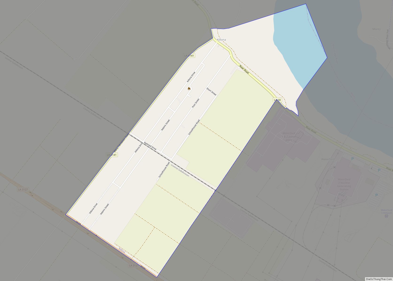
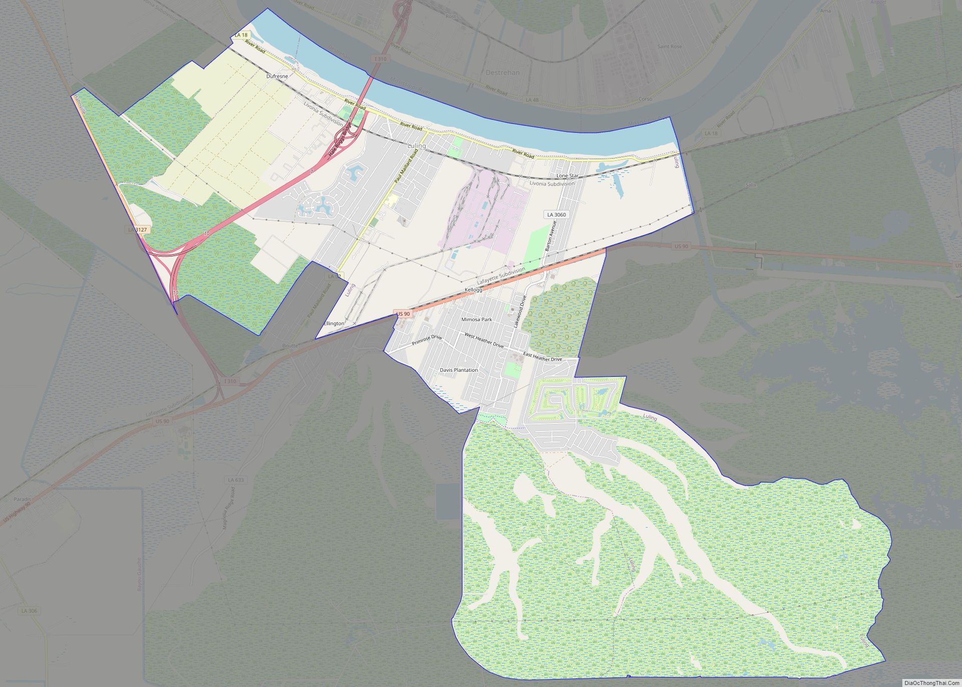
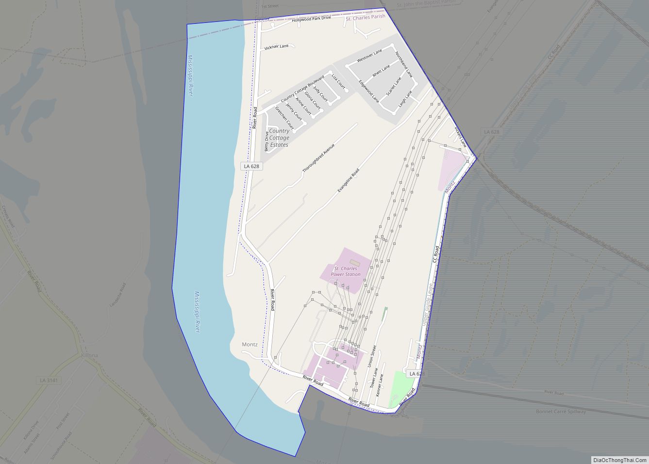
Online Interactive Map
Click on ![]() to view map in "full screen" mode.
to view map in "full screen" mode.
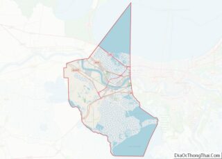
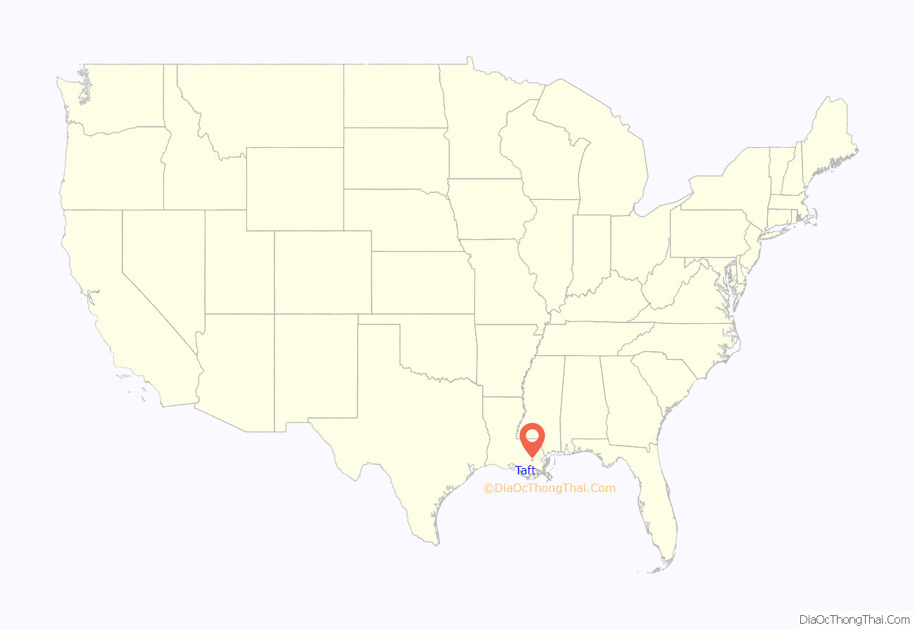
Taft location map. Where is Taft CDP?

History
Taft is the location of a phosphate processing facility owned by The Mosaic Company (formerly IMC-Agrico); the Dow/Union Carbide Taft/Star Petrochemical Plant, which produces a variety of organic chemicals such as acrolein, acrylic acid, and acetaldehyde; and part of the Waterford Nuclear Generating Station owned by Entergy Corporation. Virtually all of the land is now zoned as heavy industrial.
Taft was the original site of Our Lady of the Holy Rosary Catholic Church, which served Taft, Killona and Hahnville. The church was built in 1877, and in 1963, it moved to Hahnville. The cemetery is still in Taft and is still used as a burial ground by the church. It is bounded on three sides by the Dow chemical facilities.
Population was 700 when the first post office opened in 1905, and it remained in operation until 1967. By 1977, only 36 people lived in Taft.
In December, 1982, a major explosion occurred at the Union Carbide facility about 30 miles from New Orleans, causing nearly 17,000 people to evacuate.
Taft Road Map
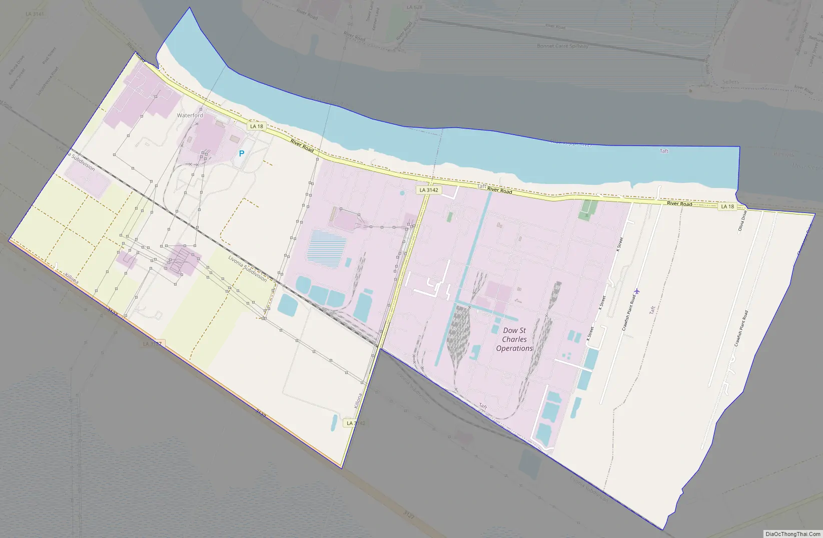
Taft city Satellite Map

Geography
According to the United States Census Bureau, the CDP has a total area of 2.0 square miles (5.2 km), of which 1.7 square miles (4.4 km) is land and 0.3 square miles (0.78 km) is water. The CDP is located on the Mississippi River, across from Norco and Montz.
See also
Map of Louisiana State and its subdivision:- Acadia
- Allen
- Ascension
- Assumption
- Avoyelles
- Beauregard
- Bienville
- Bossier
- Caddo
- Calcasieu
- Caldwell
- Cameron
- Catahoula
- Claiborne
- Concordia
- De Soto
- East Baton Rouge
- East Carroll
- East Feliciana
- Evangeline
- Franklin
- Grant
- Iberia
- Iberville
- Jackson
- Jefferson
- Jefferson Davis
- La Salle
- Lafayette
- Lafourche
- Lincoln
- Livingston
- Madison
- Morehouse
- Natchitoches
- Orleans
- Ouachita
- Plaquemines
- Pointe Coupee
- Rapides
- Red River
- Richland
- Sabine
- Saint Bernard
- Saint Charles
- Saint Helena
- Saint James
- Saint John the Baptist
- Saint Landry
- Saint Martin
- Saint Mary
- Saint Tammany
- Tangipahoa
- Tensas
- Terrebonne
- Union
- Vermilion
- Vernon
- Washington
- Webster
- West Baton Rouge
- West Carroll
- West Feliciana
- Winn
- Alabama
- Alaska
- Arizona
- Arkansas
- California
- Colorado
- Connecticut
- Delaware
- District of Columbia
- Florida
- Georgia
- Hawaii
- Idaho
- Illinois
- Indiana
- Iowa
- Kansas
- Kentucky
- Louisiana
- Maine
- Maryland
- Massachusetts
- Michigan
- Minnesota
- Mississippi
- Missouri
- Montana
- Nebraska
- Nevada
- New Hampshire
- New Jersey
- New Mexico
- New York
- North Carolina
- North Dakota
- Ohio
- Oklahoma
- Oregon
- Pennsylvania
- Rhode Island
- South Carolina
- South Dakota
- Tennessee
- Texas
- Utah
- Vermont
- Virginia
- Washington
- West Virginia
- Wisconsin
- Wyoming