Washington is a village in St. Landry Parish, Louisiana, United States. The population was 742 at the 2020 census. It is part of the Opelousas–Eunice Micropolitan Statistical Area. Washington was the largest inland port between New Orleans and St. Louis for much of the 19th century. Washington town overview: Name: Washington town LSAD Code: 43 ... Read more
Louisiana Cities and Places
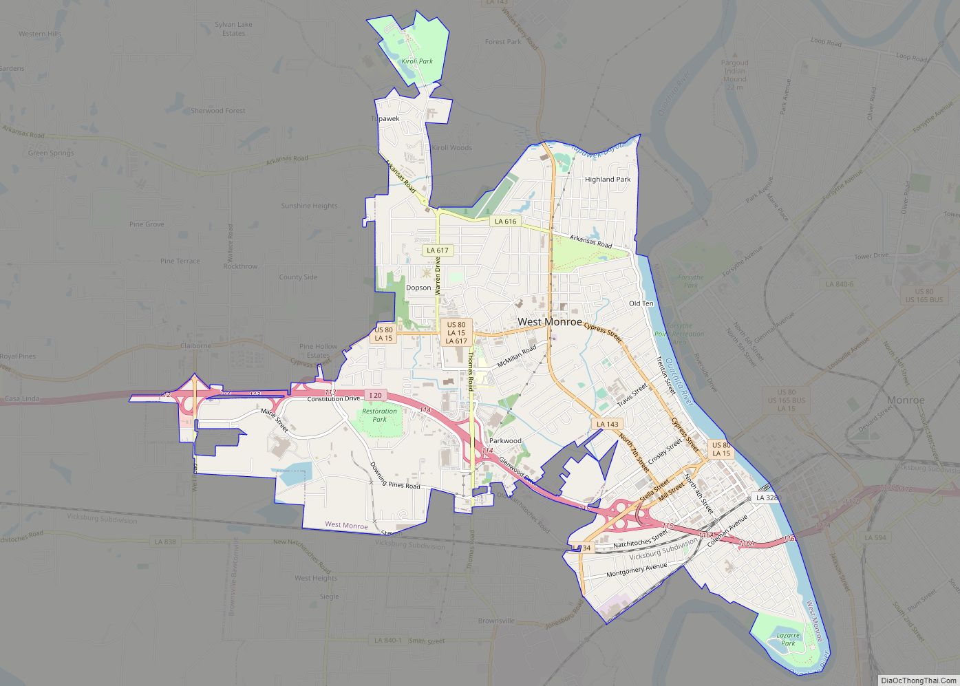
West Monroe is a city in Ouachita Parish, Louisiana, United States. It is situated on the Ouachita River, across from the neighboring city of Monroe. The two cities are often referred to as the Twin Cities of northeast Louisiana. Its population was 13,065 at the 2010 census and it is part of the Monroe Metropolitan ... Read more
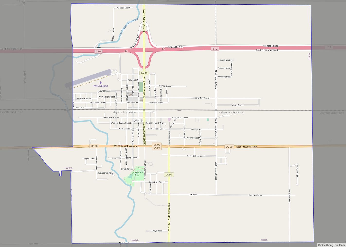
Welsh is a town in Jefferson Davis Parish, Louisiana. The population was 3,226 at the time of the 2010 census. It is part of the Jennings Micropolitan Statistical Area. Welsh town overview: Name: Welsh town LSAD Code: 43 LSAD Description: town (suffix) State: Louisiana County: Jefferson Davis Parish Founded: March 15, 1888 Elevation: 23 ft (7 m) ... Read more
Welcome is an unincorporated community and census-designated place in St. James Parish, Louisiana, United States. Its population was 800 as of the 2010 census. The community is located along Louisiana Highway 18 on the west bank of the Mississippi River. Welcome CDP overview: Name: Welcome CDP LSAD Code: 57 LSAD Description: CDP (suffix) State: Louisiana ... Read more
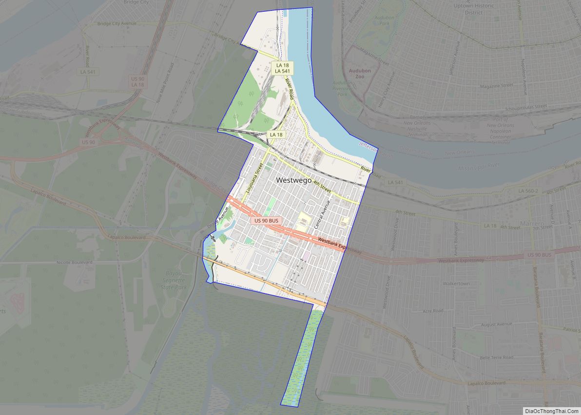
Westwego is a city in the U.S. state of Louisiana, located in Jefferson Parish. It is a suburban community of New Orleans in the Greater New Orleans metropolitan area and lies along the west bank of the Mississippi River. The population of the city of Westwego was 8,568 at the 2020 United States census. Westwego ... Read more
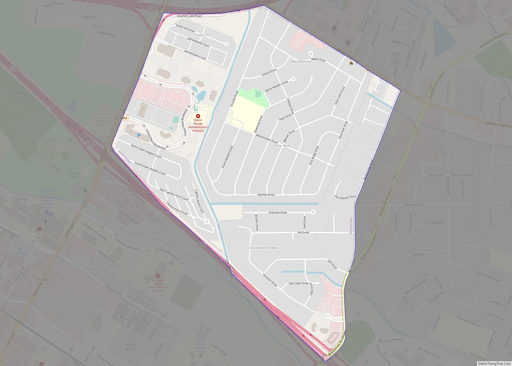
Westminster is a census-designated place (CDP) in East Baton Rouge Parish, Louisiana, United States. The population was 3,008 at the 2010 census, up from 2,515 in 2000. It is part of the Baton Rouge Metropolitan Statistical Area. It is in the proposed City of St. George. Westminster CDP overview: Name: Westminster CDP LSAD Code: 57 ... Read more
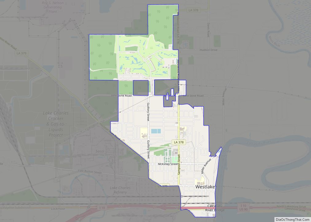
Westlake is an industrial city in Calcasieu Parish, in western Louisiana, United States, and is part of the Lake Charles metropolitan statistical area. The population was 4,781 in 2020. Westlake was incorporated in 1945. There are many chemical plants and oil refineries situated around the Westlake area. Westlake city overview: Name: Westlake city LSAD Code: ... Read more
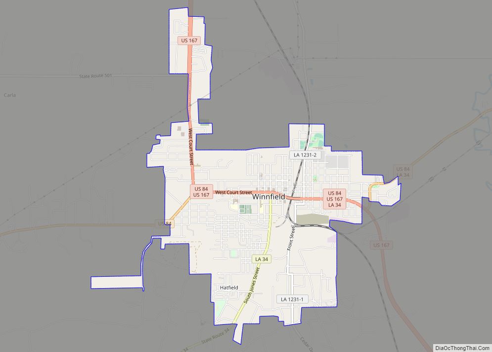
Winnfield is a small city in, and the parish seat of, Winn Parish, Louisiana, United States. The population was 5,749 at the 2000 census, and 4,840 in 2010. Three governors of the state of Louisiana were from Winnfield. Winnfield city overview: Name: Winnfield city LSAD Code: 25 LSAD Description: city (suffix) State: Louisiana County: Winn ... Read more
Wilson is a village in East Feliciana Parish, Louisiana, United States. The population was 595 at the 2010 census, down from 668 in 2000. It is part of the Baton Rouge Metropolitan Statistical Area. Wilson village overview: Name: Wilson village LSAD Code: 47 LSAD Description: village (suffix) State: Louisiana County: East Feliciana Parish Elevation: 256 ft ... Read more
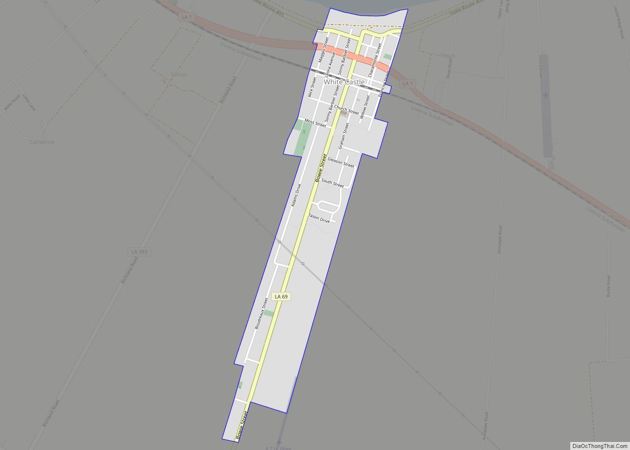
White Castle is a town in Iberville Parish, Louisiana, United States. At the 2010 U.S. census the town population was 1,883, and 1,640 at the 2020 population estimates program. It is part of the Baton Rouge metropolitan area. White Castle town overview: Name: White Castle town LSAD Code: 43 LSAD Description: town (suffix) State: Louisiana ... Read more
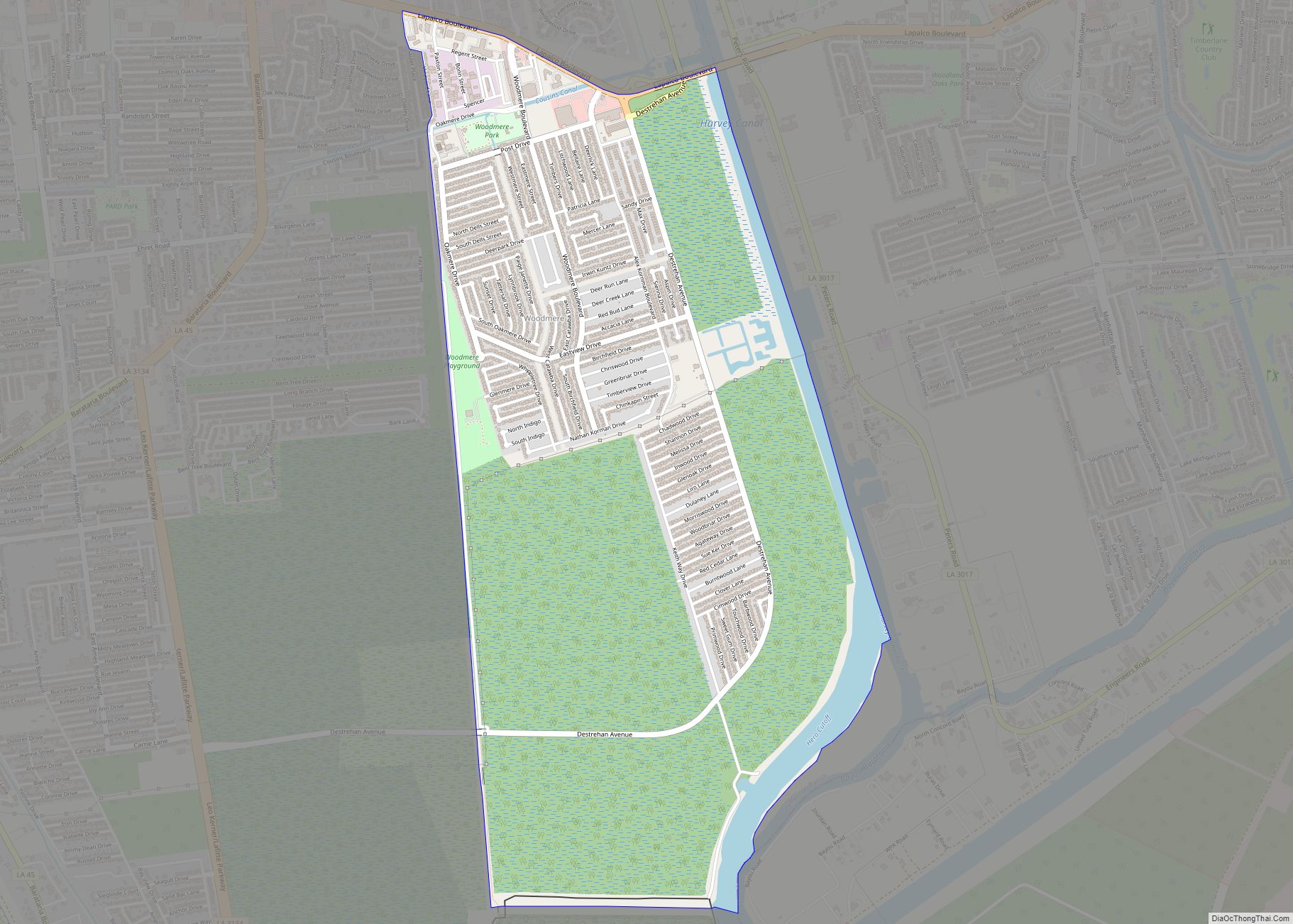
Woodmere is an unincorporated community and census-designated place (CDP) in Jefferson Parish, Louisiana, United States. The population was 12,080 at the 2010 census, and 11,238 at the 2020 census. It is part of the New Orleans–Metairie–Kenner metropolitan statistical area. Woodmere CDP overview: Name: Woodmere CDP LSAD Code: 57 LSAD Description: CDP (suffix) State: Louisiana County: ... Read more
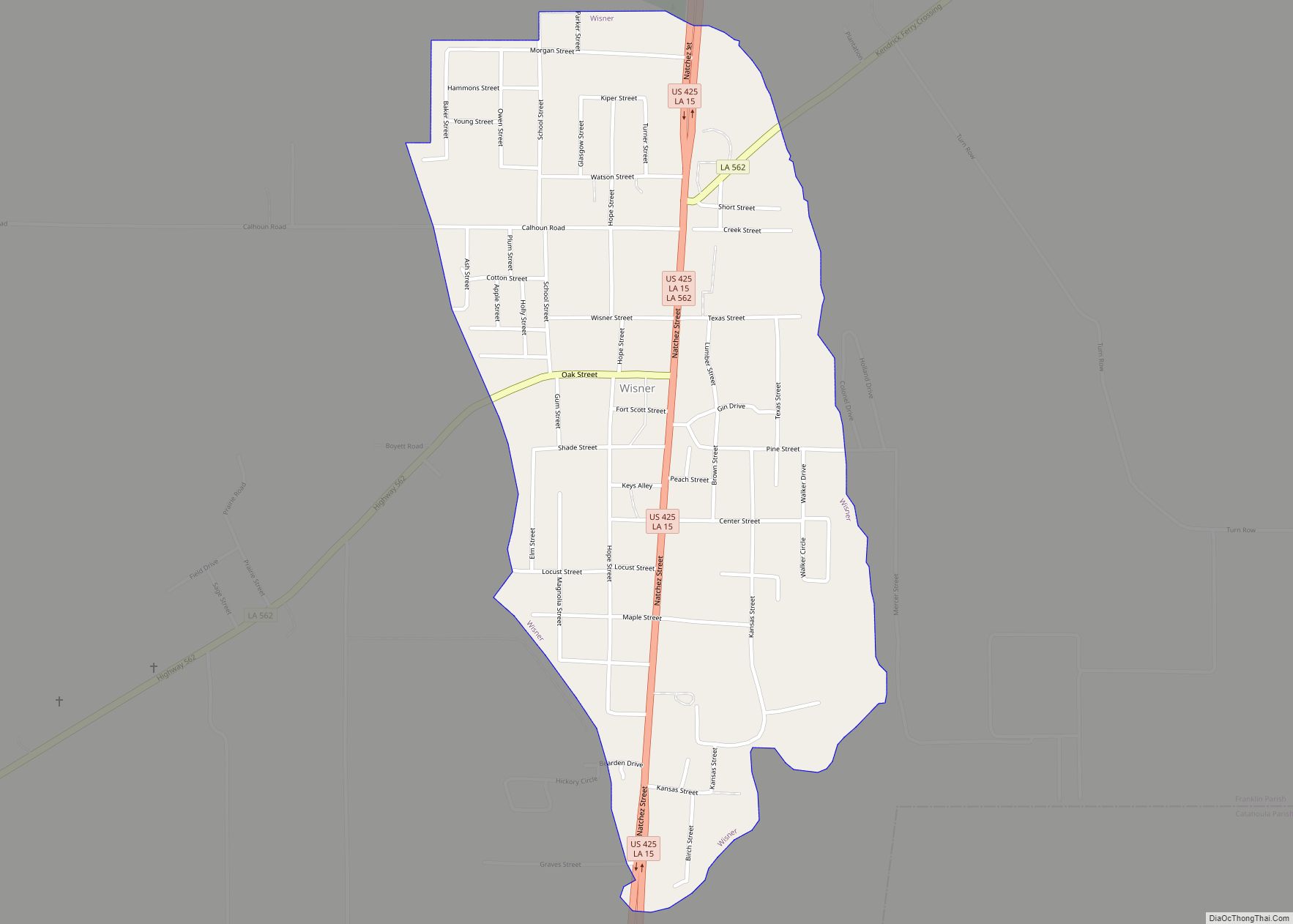
Wisner is a town in Franklin Parish, Louisiana, United States. The population was 964 at the 2010 census, down from 1,140 in 2000. Wisner town overview: Name: Wisner town LSAD Code: 43 LSAD Description: town (suffix) State: Louisiana County: Franklin Parish Elevation: 75 ft (23 m) Total Area: 0.80 sq mi (2.06 km²) Land Area: 0.80 sq mi (2.06 km²) Water Area: 0.00 sq mi ... Read more

