Winnfield is a small city in, and the parish seat of, Winn Parish, Louisiana, United States. The population was 5,749 at the 2000 census, and 4,840 in 2010. Three governors of the state of Louisiana were from Winnfield.
| Name: | Winnfield city |
|---|---|
| LSAD Code: | 25 |
| LSAD Description: | city (suffix) |
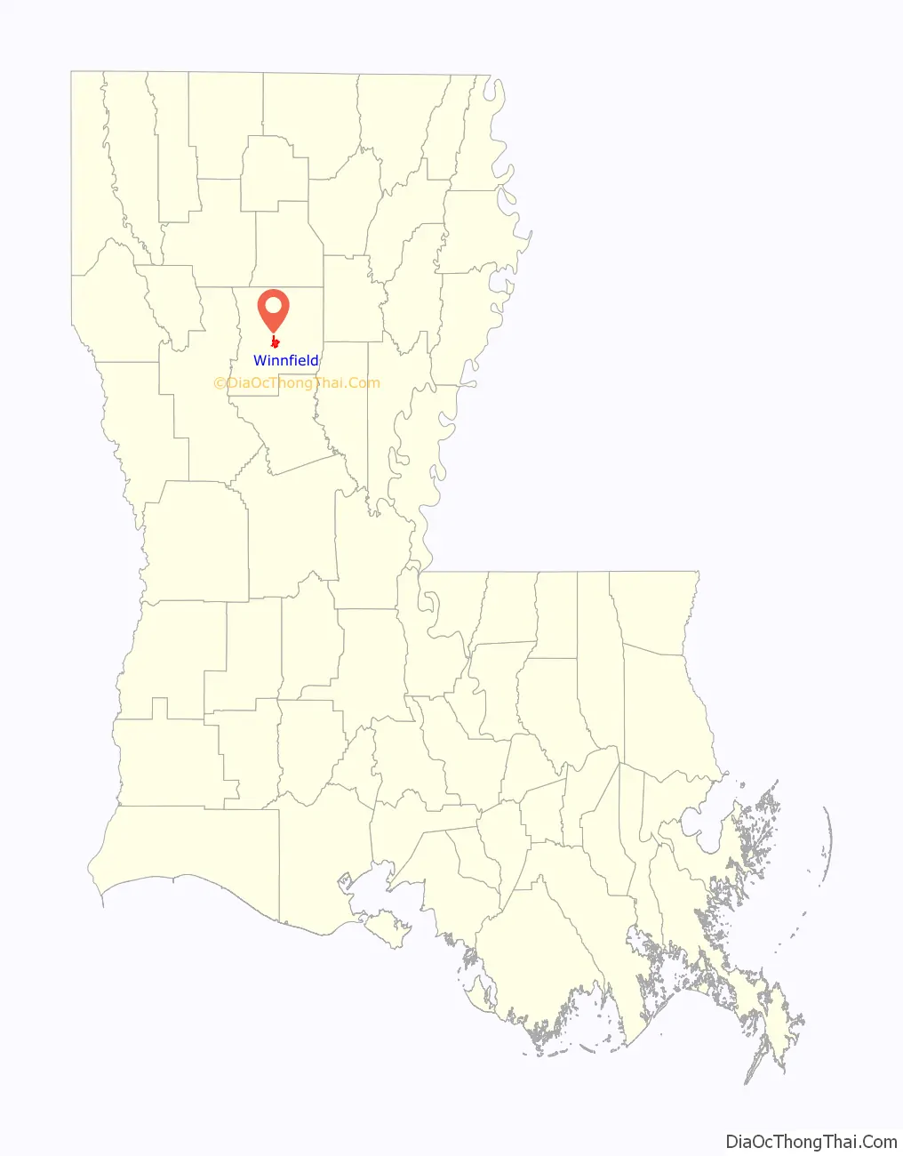
| State: | Louisiana |
| County: | Winn Parish |
| Elevation: | 128 ft (39 m) |
| Total Area: | 3.64 sq mi (9.43 km²) |
| Land Area: | 3.64 sq mi (9.43 km²) |
| Water Area: | 0.00 sq mi (0.00 km²) |
| Total Population: | 4,153 |
| Population Density: | 1,140.31/sq mi (440.32/km²) |
| ZIP code: | 71483 |
| Area code: | 318 |
| FIPS code: | 2282460 |
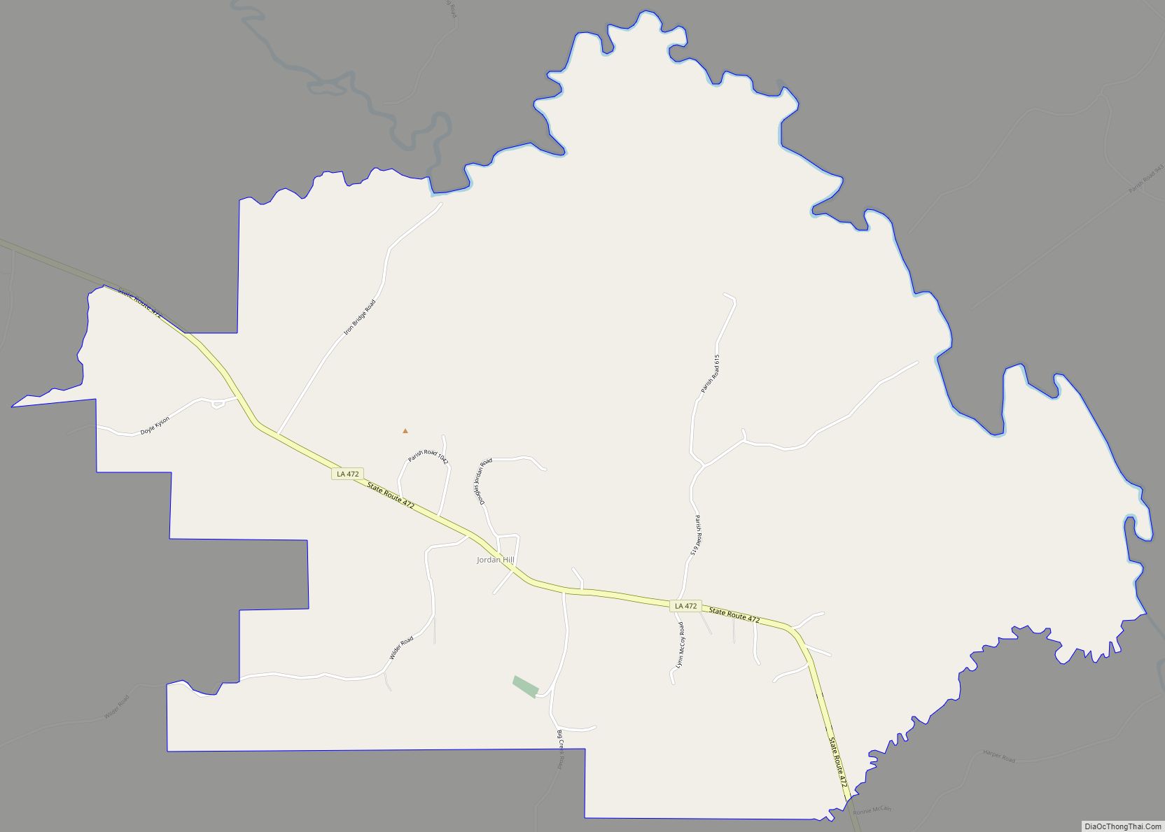
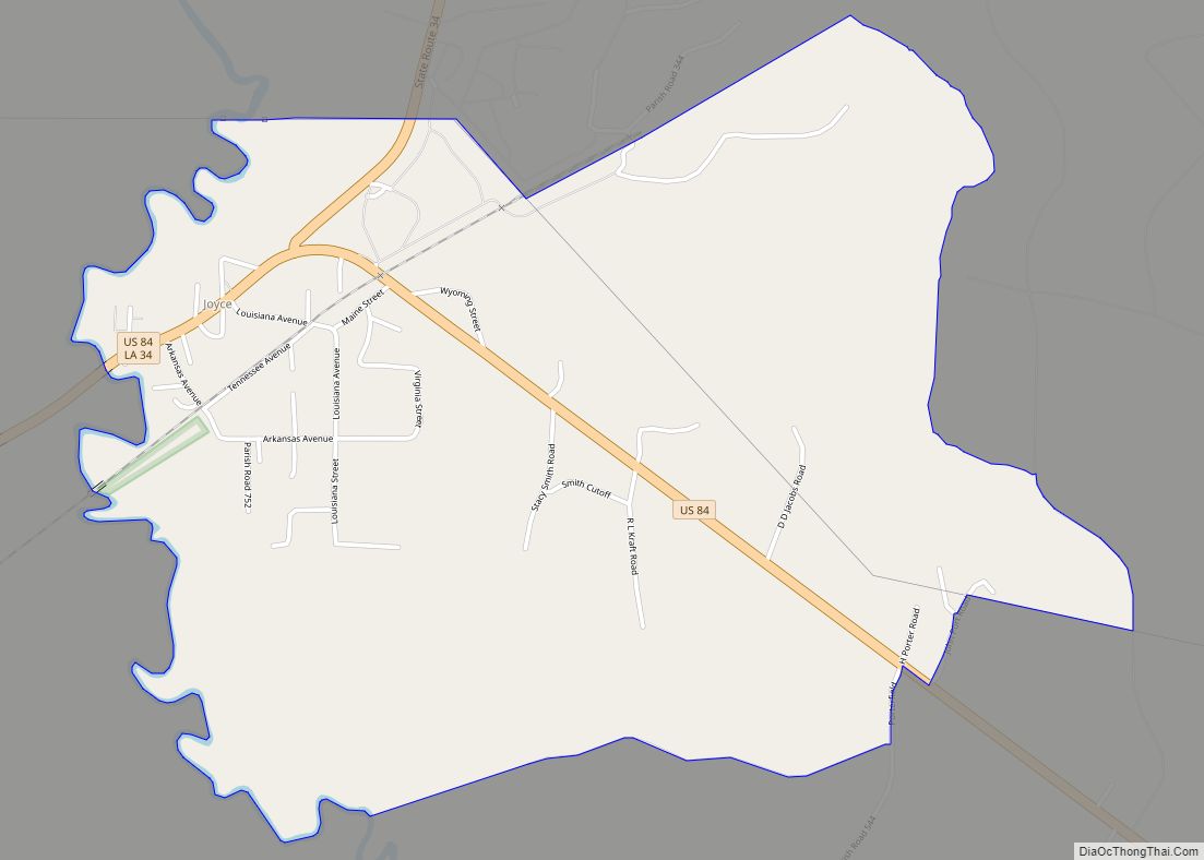
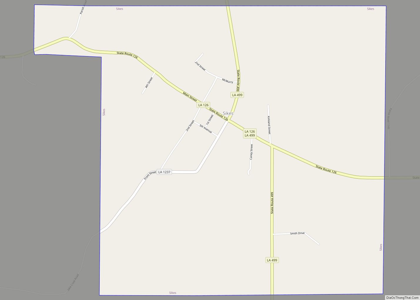
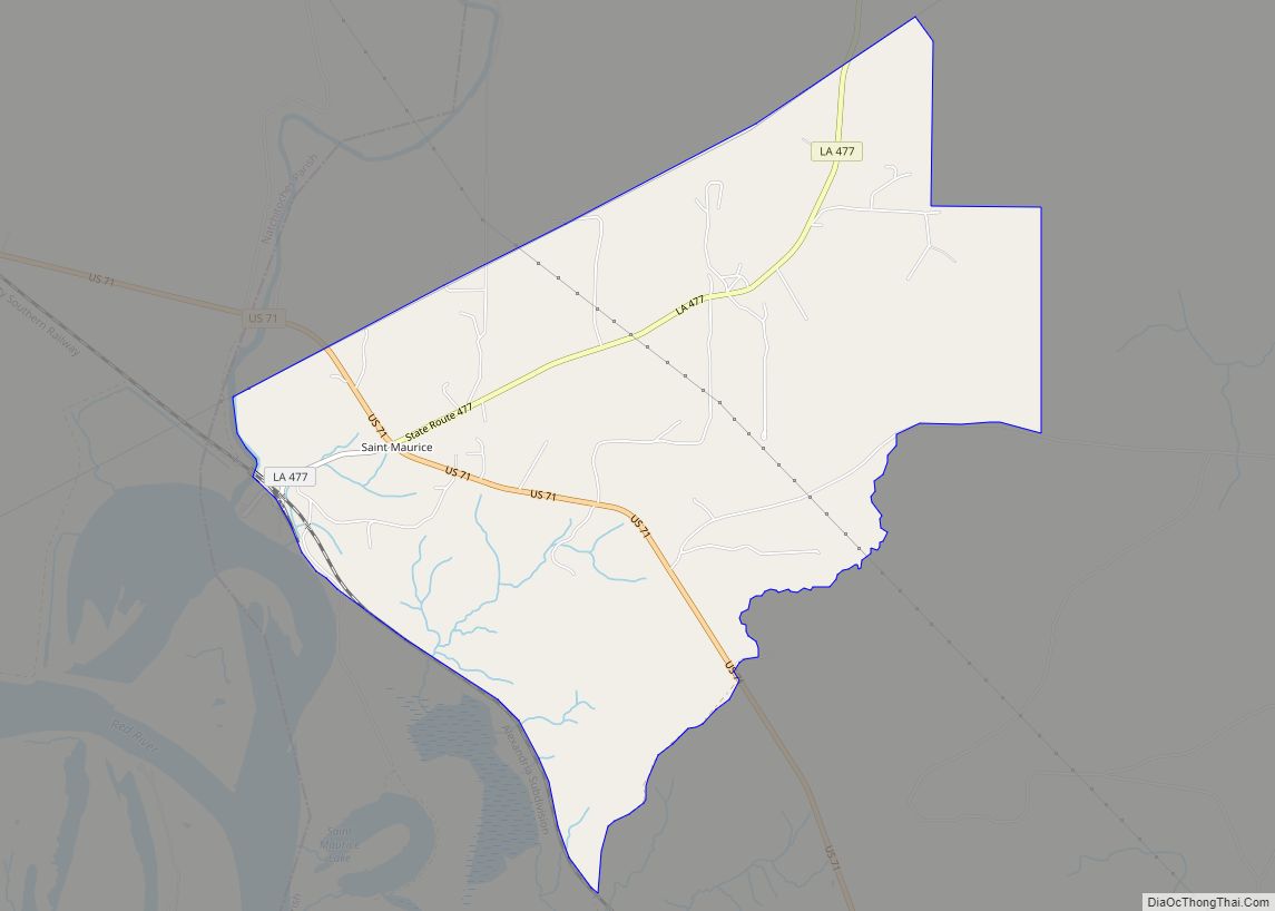
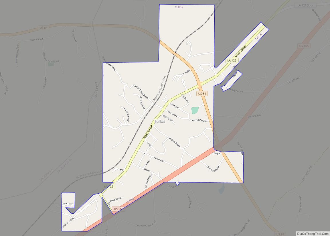
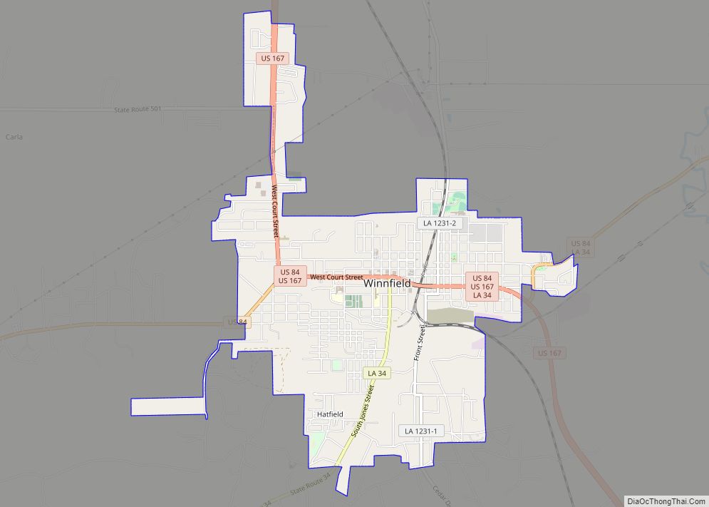
Online Interactive Map
Click on ![]() to view map in "full screen" mode.
to view map in "full screen" mode.
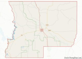
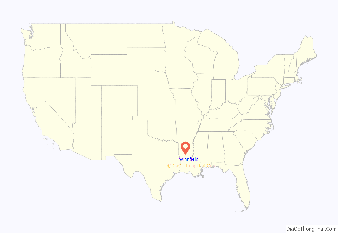
Winnfield location map. Where is Winnfield city?
History
When Winn Parish was officially formed by the state legislature in 1852, Winnfield was established as the parish seat. During the Civil War, the area around Winnfield was the site of some minor skirmishes. Confederate forces defeated a Union detachment sent to destroy the Cary Salt Works in the area.
Many Civil War bandits made the region their home. Among these were the West and Kimbrill clans, which at one time included Frank and Jesse James.
Three Louisiana governors were Winnfield natives and grew up here: Huey Long, Oscar K. Allen and Earl Long. Huey Long became governor, U.S. Senator. He was assassinated in 1935. Oscar K. Allen was elected governor in 1932. Earl Long, “the Louisiana Longshot,” served in a variety of state positions, said to be more than other Louisianan, including elective office. He was elected governor in 1939, 1948 and 1956. He was elected to Congress in 1960 but died before he could assume office.
Winnfield was a major producer of salt in the Civil War days; salt kettles used at Big Cedar furnished salt for the Confederate army. One still exists today in front of the Louisiana Political Museum and Hall of Fame, turned into a fountain. The salt works was located on Saline Bayou. Later the Cary Salt Works started an 840 ft deep mine south of Winnfield. The mine was used by the federal government in Project Coyboy Plowshare Program, Cowboy Event. Between Dec 1959 and March 1960 a series of high explosives were set off inside the Carry Salt Works in an unused portion of the mine. The mine later was flooded by an underground river. The mine and all equipment inside was abandoned.
The rock quarry operated near or on top of the salt mine and produced limestone and gravel still operates today as Winn Rock.
Winnfield Road Map

Winnfield city Satellite Map

Geography
Winnfield has an elevation of 128 feet (39.0 m). According to the United States Census Bureau, the city has a total area of 3.3 square miles (8.6 km), all land. North and west of Winnfield, Saline Bayou, a National Wild and Scenic Rivers System waterway, offers blackwater canoeing as well as fishing.
Winnfield is about a three-hour driving distance from Baton Rouge.
See also
Map of Louisiana State and its subdivision:- Acadia
- Allen
- Ascension
- Assumption
- Avoyelles
- Beauregard
- Bienville
- Bossier
- Caddo
- Calcasieu
- Caldwell
- Cameron
- Catahoula
- Claiborne
- Concordia
- De Soto
- East Baton Rouge
- East Carroll
- East Feliciana
- Evangeline
- Franklin
- Grant
- Iberia
- Iberville
- Jackson
- Jefferson
- Jefferson Davis
- La Salle
- Lafayette
- Lafourche
- Lincoln
- Livingston
- Madison
- Morehouse
- Natchitoches
- Orleans
- Ouachita
- Plaquemines
- Pointe Coupee
- Rapides
- Red River
- Richland
- Sabine
- Saint Bernard
- Saint Charles
- Saint Helena
- Saint James
- Saint John the Baptist
- Saint Landry
- Saint Martin
- Saint Mary
- Saint Tammany
- Tangipahoa
- Tensas
- Terrebonne
- Union
- Vermilion
- Vernon
- Washington
- Webster
- West Baton Rouge
- West Carroll
- West Feliciana
- Winn
- Alabama
- Alaska
- Arizona
- Arkansas
- California
- Colorado
- Connecticut
- Delaware
- District of Columbia
- Florida
- Georgia
- Hawaii
- Idaho
- Illinois
- Indiana
- Iowa
- Kansas
- Kentucky
- Louisiana
- Maine
- Maryland
- Massachusetts
- Michigan
- Minnesota
- Mississippi
- Missouri
- Montana
- Nebraska
- Nevada
- New Hampshire
- New Jersey
- New Mexico
- New York
- North Carolina
- North Dakota
- Ohio
- Oklahoma
- Oregon
- Pennsylvania
- Rhode Island
- South Carolina
- South Dakota
- Tennessee
- Texas
- Utah
- Vermont
- Virginia
- Washington
- West Virginia
- Wisconsin
- Wyoming