Washington is a village in St. Landry Parish, Louisiana, United States. The population was 742 at the 2020 census. It is part of the Opelousas–Eunice Micropolitan Statistical Area. Washington was the largest inland port between New Orleans and St. Louis for much of the 19th century.
| Name: | Washington town |
|---|---|
| LSAD Code: | 43 |
| LSAD Description: | town (suffix) |
| State: | Louisiana |
| County: | St. Landry Parish |
| Elevation: | 46 ft (14 m) |
| Total Area: | 0.85 sq mi (2.20 km²) |
| Land Area: | 0.83 sq mi (2.14 km²) |
| Water Area: | 0.02 sq mi (0.06 km²) |
| Total Population: | 742 |
| Population Density: | 897.22/sq mi (346.23/km²) |
| Area code: | 337 |
| FIPS code: | 2279870 |
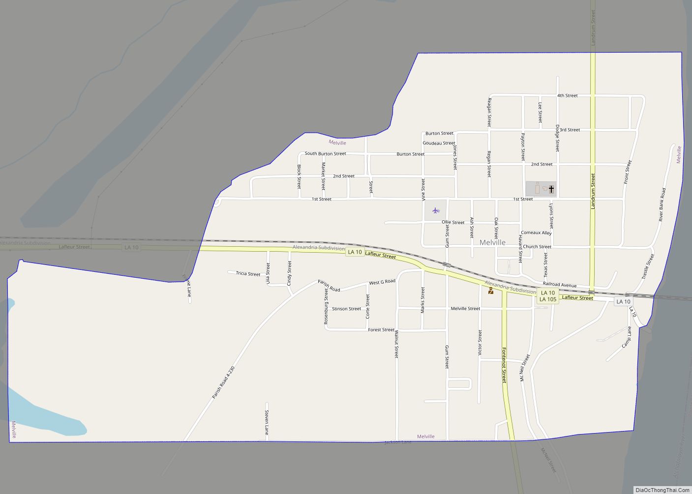
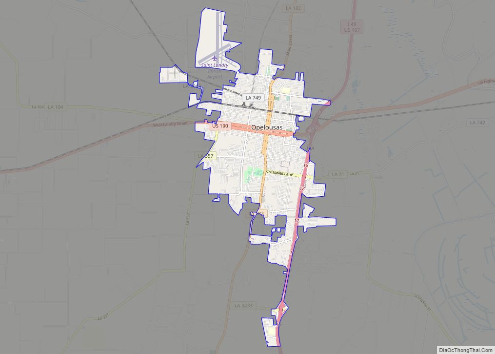
Online Interactive Map
Click on ![]() to view map in "full screen" mode.
to view map in "full screen" mode.
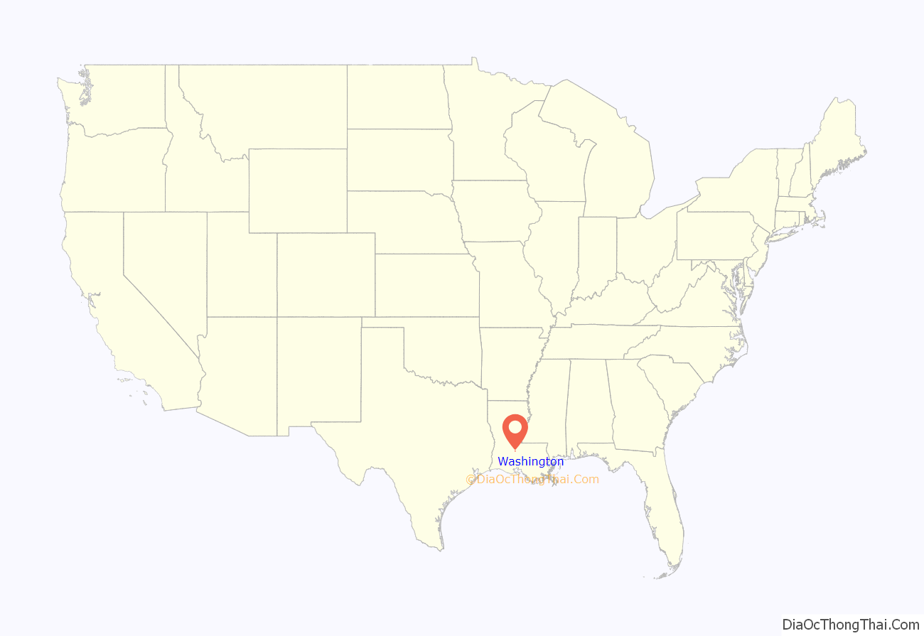
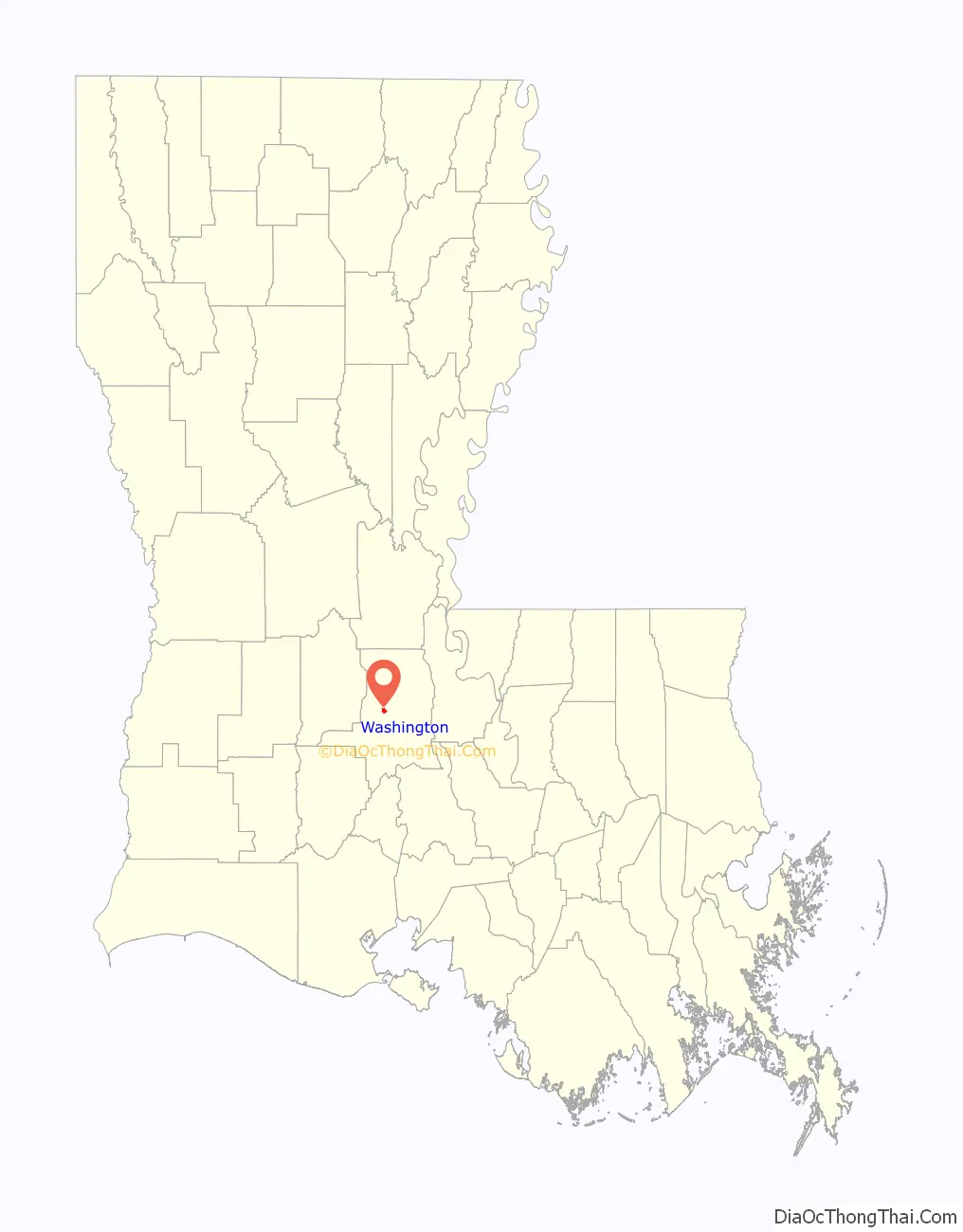
Washington location map. Where is Washington town?
History
During the American Civil War, some of Union General Nathaniel P. Banks’ forces occupied several towns in the region, including Washington, which was then larger than the parish seat of Opelousas. Banks’ men stripped the towns of supplies of all kinds, including food, livestock, cotton, and other trade goods; the total of the good was estimated at more than ten million dollars.
After the war, there was extensive white resistance to the emancipation and enfranchisement of former slaves or freedmen. Some insurgents based in Opelousas formed the Seymour Knights, a unit of the Knights of the White Camellia. In the fall of 1868 before the election, white Democrats in Washington rejected African Americans who sought to join their political party, and the Seymour Knights physically drove the blacks out of the city.
A series of events followed in which blacks marched on Opelousas and 29 men were captured. All but two were executed without trial, and whites rampaged against blacks in the parish seat and surrounding area, killing an estimated 50 to 200-300 African Americans, in what is known as the Opelousas Massacre.
Speed trap
Washington has a reputation of being a speed trap; that is, a town where traffic laws are enforced extremely strictly as a means of generating revenue. A 2007 report from the Louisiana Legislative Auditor found that more than 50% of the town’s revenue came from traffic-related fines in the 2005 fiscal year. It was one of 15 such towns. In 2009, then-mayor Joseph Pitre told The Advocate newspaper that he believed the town had collected between $700,000-$800,000 from speeding tickets yearly.
In 2014, State Representative Alan Seabaugh targeted Washington as the most “notorious” speed trap in the state. He obtained approval of the House Transportation Committee to allow enforcement of traffic laws only if a community had incorporated at least one-half mile of land that extends to each side of an interstate highway, excluding overpasses and ramps. At the time, Seabaugh reported receiving many complaints from constituents in Shreveport as well as out-of-state drivers who have been ticketed for speeding only slightly over the legal limit.
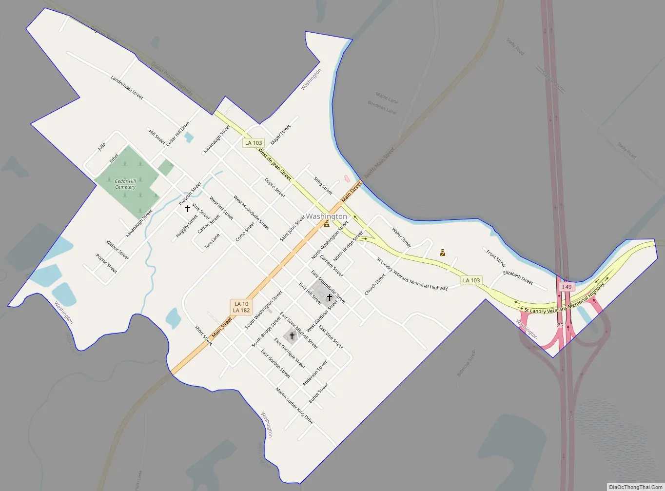
Washington Road Map
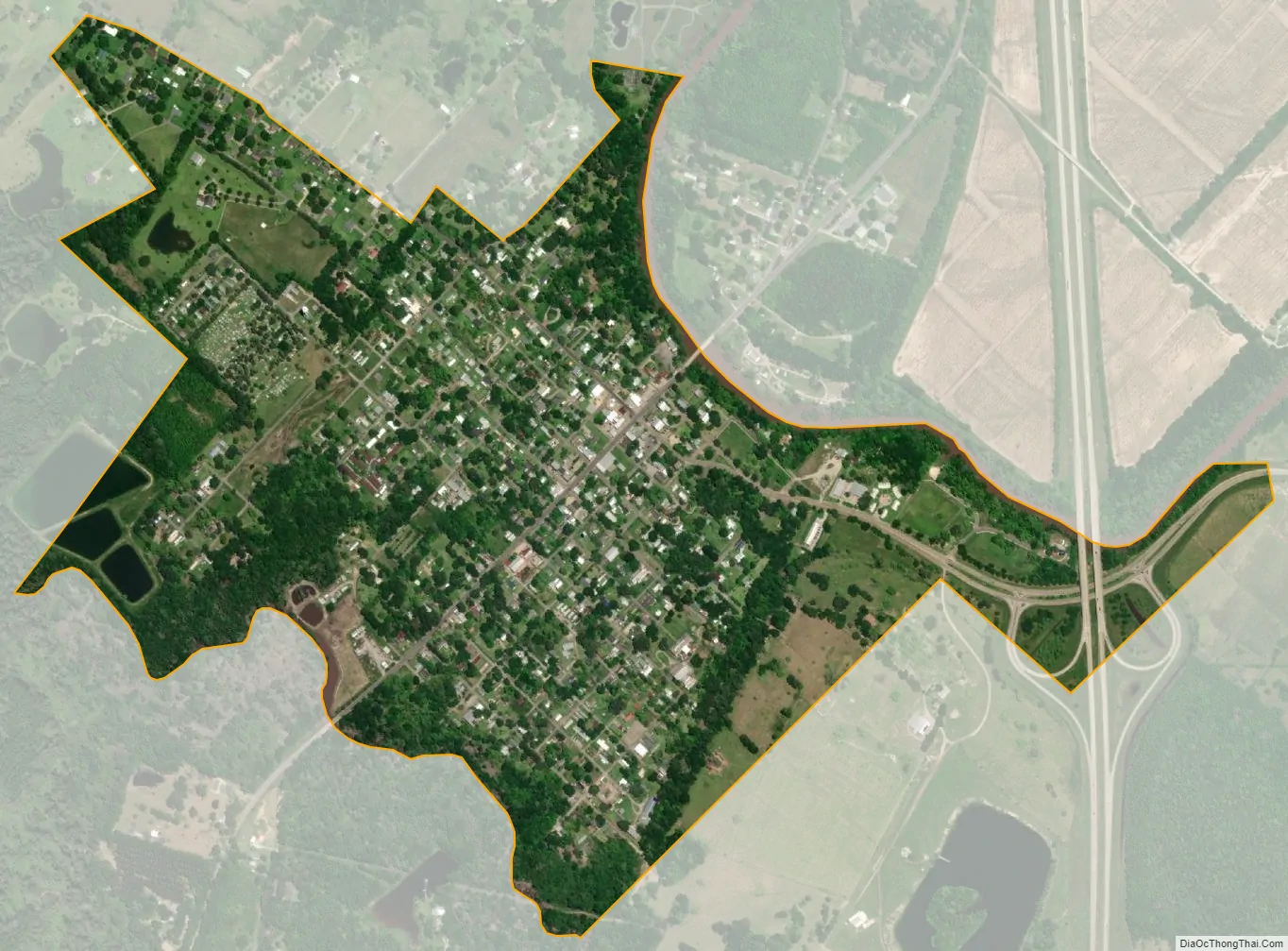
Washington city Satellite Map
Geography
Washington is located at 30°36′52″N 92°3′30″W / 30.61444°N 92.05833°W / 30.61444; -92.05833 (30.614428, -92.058363).
According to the United States Census Bureau, the town has a total area of 0.9 square miles (2.3 km), of which 0.9 square miles (2.3 km) is land and 1.15% is water.
See also
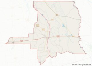
Map of Louisiana State and its subdivision:- Acadia
- Allen
- Ascension
- Assumption
- Avoyelles
- Beauregard
- Bienville
- Bossier
- Caddo
- Calcasieu
- Caldwell
- Cameron
- Catahoula
- Claiborne
- Concordia
- De Soto
- East Baton Rouge
- East Carroll
- East Feliciana
- Evangeline
- Franklin
- Grant
- Iberia
- Iberville
- Jackson
- Jefferson
- Jefferson Davis
- La Salle
- Lafayette
- Lafourche
- Lincoln
- Livingston
- Madison
- Morehouse
- Natchitoches
- Orleans
- Ouachita
- Plaquemines
- Pointe Coupee
- Rapides
- Red River
- Richland
- Sabine
- Saint Bernard
- Saint Charles
- Saint Helena
- Saint James
- Saint John the Baptist
- Saint Landry
- Saint Martin
- Saint Mary
- Saint Tammany
- Tangipahoa
- Tensas
- Terrebonne
- Union
- Vermilion
- Vernon
- Washington
- Webster
- West Baton Rouge
- West Carroll
- West Feliciana
- Winn
- Alabama
- Alaska
- Arizona
- Arkansas
- California
- Colorado
- Connecticut
- Delaware
- District of Columbia
- Florida
- Georgia
- Hawaii
- Idaho
- Illinois
- Indiana
- Iowa
- Kansas
- Kentucky
- Louisiana
- Maine
- Maryland
- Massachusetts
- Michigan
- Minnesota
- Mississippi
- Missouri
- Montana
- Nebraska
- Nevada
- New Hampshire
- New Jersey
- New Mexico
- New York
- North Carolina
- North Dakota
- Ohio
- Oklahoma
- Oregon
- Pennsylvania
- Rhode Island
- South Carolina
- South Dakota
- Tennessee
- Texas
- Utah
- Vermont
- Virginia
- Washington
- West Virginia
- Wisconsin
- Wyoming