Preston is a town in Caroline County, Maryland, United States. The population was 719 at the 2010 census. Preston town overview: Name: Preston town LSAD Code: 43 LSAD Description: town (suffix) State: Maryland County: Caroline County Incorporated: 1892 Elevation: 46 ft (14 m) Total Area: 0.56 sq mi (1.45 km²) Land Area: 0.55 sq mi (1.42 km²) Water Area: 0.01 sq mi (0.03 km²) Total Population: ... Read more
Maryland Cities and Places
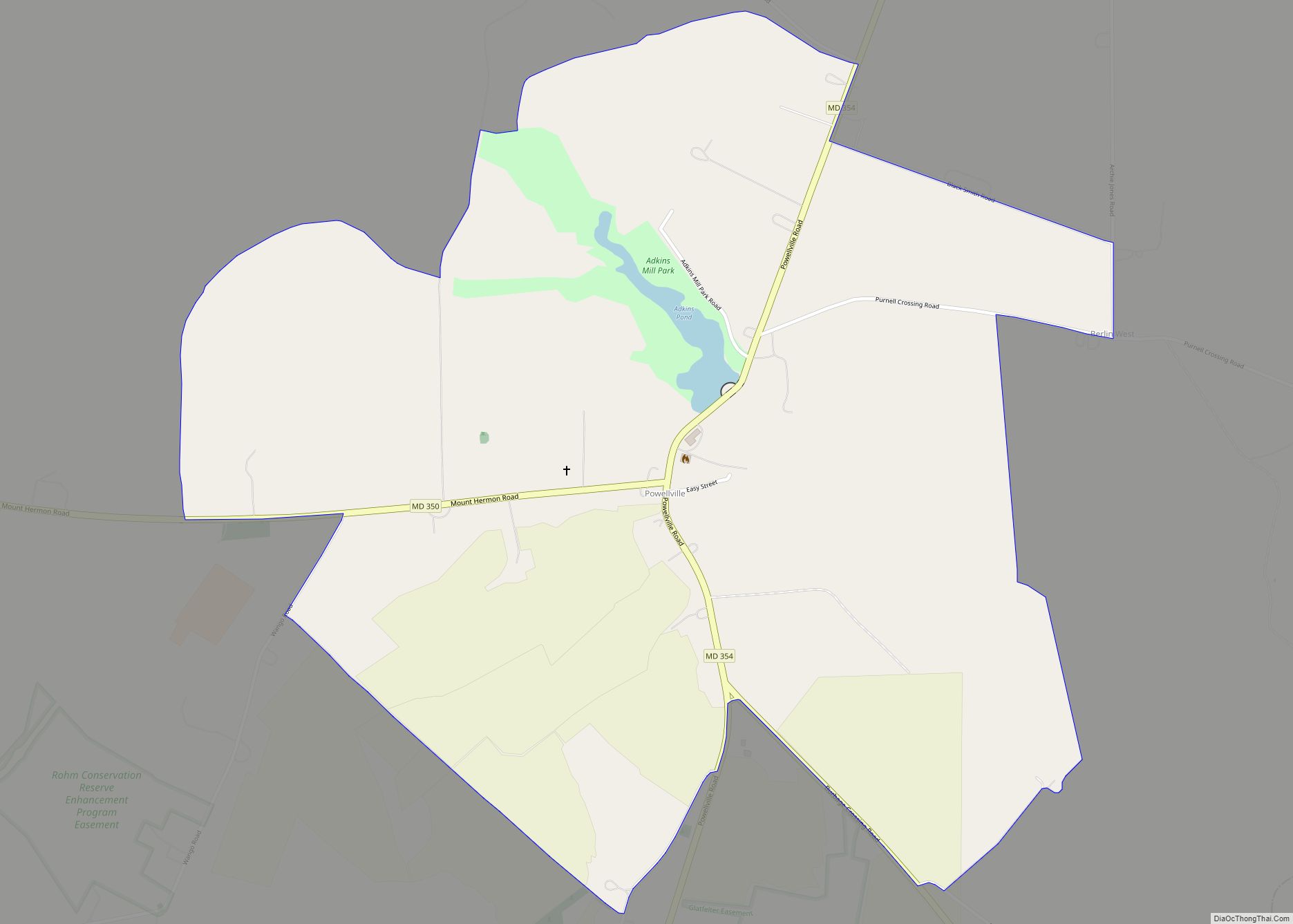
Powellville is an unincorporated community and census-designated place in Wicomico County, Maryland, United States. Its population was 189 as of the 2010 census. It is part of the Salisbury, Maryland-Delaware Metropolitan Statistical Area. Powellville CDP overview: Name: Powellville CDP LSAD Code: 57 LSAD Description: CDP (suffix) State: Maryland County: Wicomico County Elevation: 30 ft (9 m) Total ... Read more
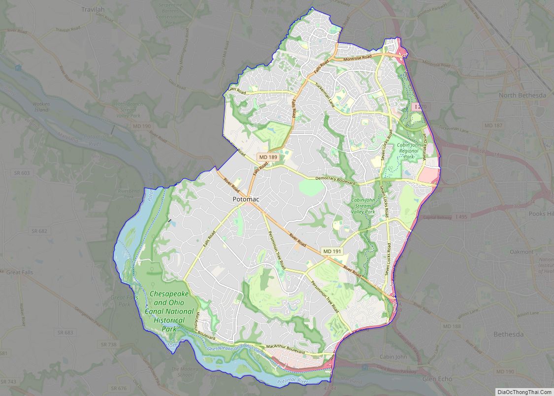
Potomac (listen (help·info)) is a census-designated place (CDP) in Montgomery County, Maryland. It is named after the nearby Potomac River. Potomac is the seventh most educated small town in America, based on percentage of residents with postsecondary degrees. In 2011, Bloomberg Businessweek labeled Potomac as the 29th richest ZIP Code in the United States, stating that ... Read more
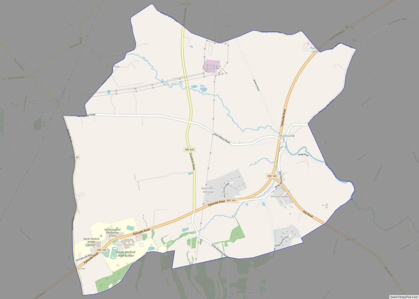
Pylesville is an unincorporated community and census-designated place (CDP) in Harford County, Maryland, United States. The population was 693 at the 2010 census. It is part of the Baltimore metropolitan area. Legend says the town was named after Brandon Pyles. Until 1958, this community was served by the Maryland and Pennsylvania Railroad at milepost 40.3. ... Read more
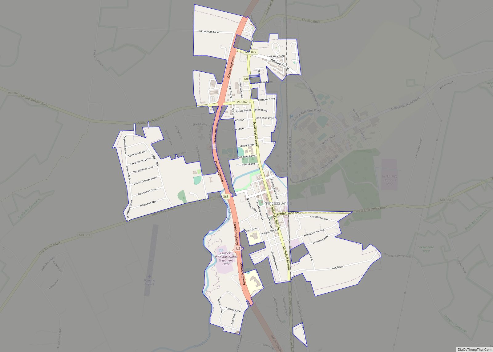
Princess Anne is a town in Somerset County, Maryland, United States, that also serves as its county seat. Its population was 3,290 at the 2010 census. It is included in the Salisbury, Maryland–Delaware Metropolitan Statistical Area. It is notable as the location of the University of Maryland Eastern Shore and the Teackle Mansion. Princess Anne ... Read more
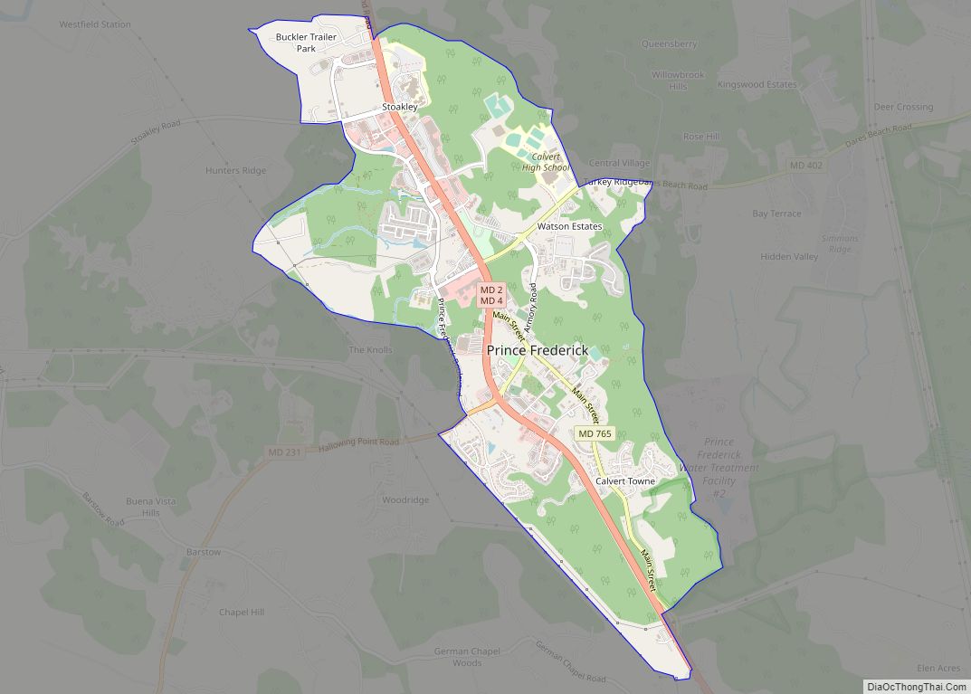
Prince Frederick is an unincorporated community and census-designated place (CDP) in Calvert County, Maryland, United States. As of the 2020 census, the population of Prince Frederick was 3,226, up from 2,538 in 2010. It is the county seat of Calvert County. Prince Frederick CDP overview: Name: Prince Frederick CDP LSAD Code: 57 LSAD Description: CDP ... Read more
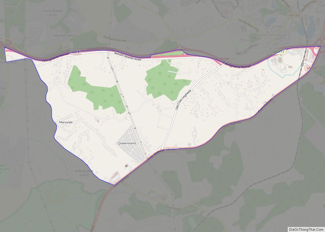
Queensland is a census-designated place south of Upper Marlboro in Prince George’s County, Maryland, United States. The population of the CDP was 2,191 at the 2020 census. It was formerly known as Queenland until 2014 when its name was changed to Queensland and a small portion of its geography was transferred to Upper Marlboro. Queensland ... Read more
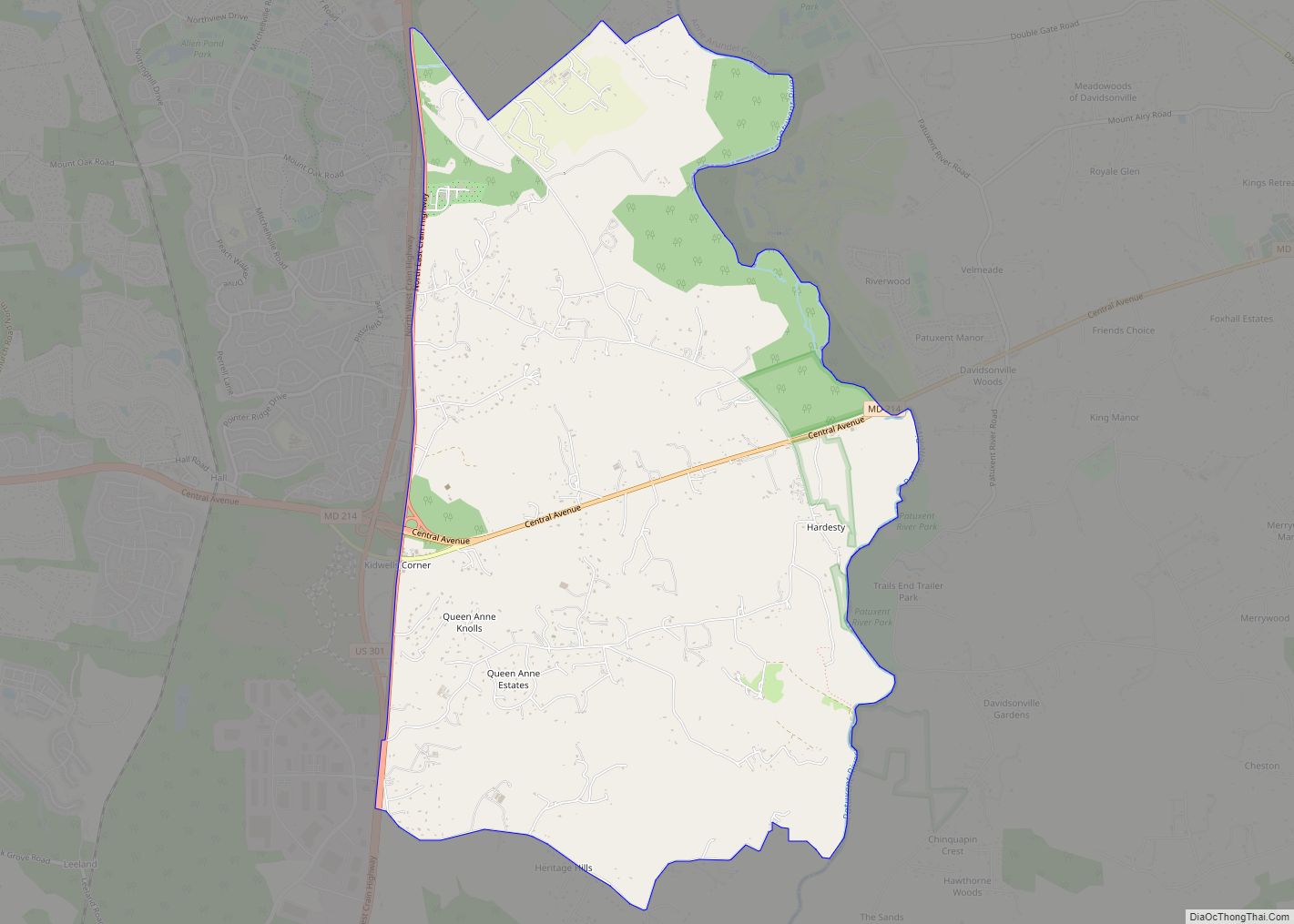
Queen Anne in Prince George’s County, Maryland, United States, is a former port on the Patuxent River. It was delineated as a CDP for the 2010 census, at which time it had a population of 1,280. Per the 2020 census, the population was 1,405. Queen Anne CDP overview: Name: Queen Anne CDP LSAD Code: 57 ... Read more
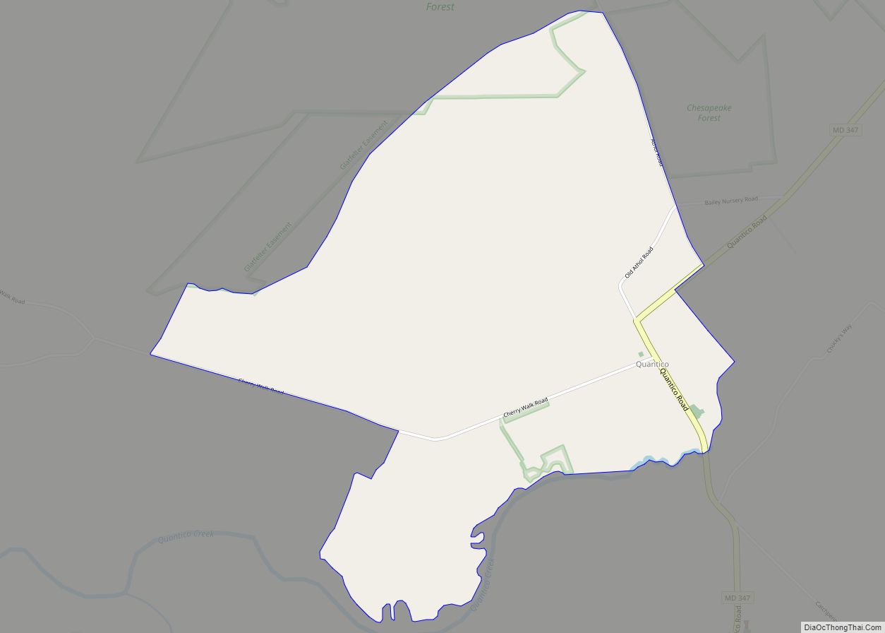
Quantico is an unincorporated community and census-designated place in Wicomico County, Maryland, United States, along the former stage route from Vienna to the port of Whitehaven on the Wicomico River. It consists of approximately 35 homes on the Quantico Creek. The community lies four miles (6 km) from Hebron along Maryland Route 347. There are two ... Read more
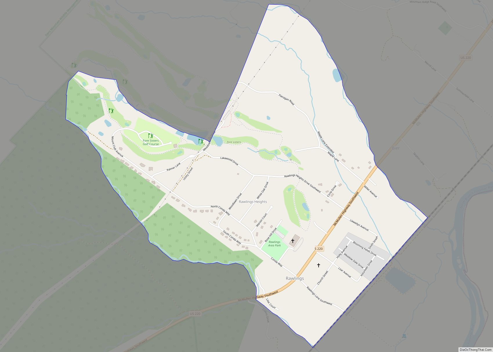
Rawlings is an unincorporated community and census-designated place (CDP) in Allegany County, Maryland, United States, on the McMullen Highway (U.S. Route 220). As of the 2010 census, the Rawlings CDP had a population of 693. The community was named after Moses Rawlings, an officer in the Revolutionary War. It was originally known as “Rawlings Station” ... Read more
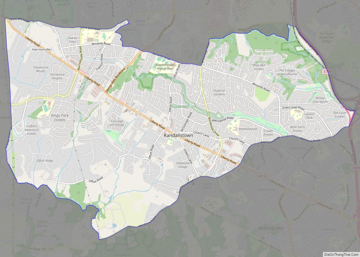
Randallstown is an unincorporated community and census-designated place in Baltimore County, Maryland, United States. It is named after Christopher and Thomas Randall, two 18th-century tavern-keepers. At that time, Randallstown was a tollgate crossroads on the Liberty Turnpike, a major east–west thoroughfare. It is a suburb of Baltimore, with a population of 33,655 as of the ... Read more
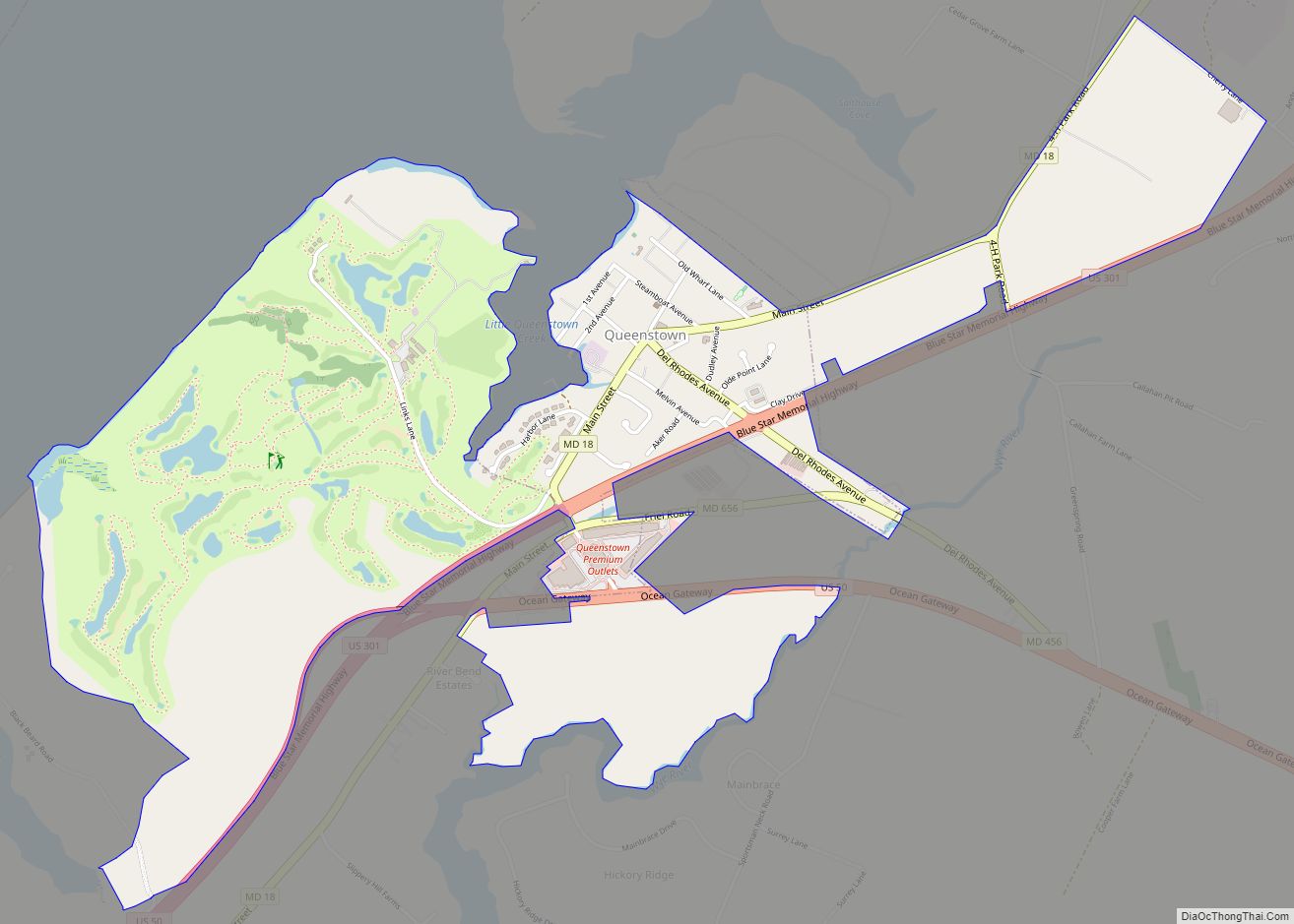
Queenstown is a town in Queen Anne’s County, Maryland, United States. The population was 664 at the 2010 census. Queenstown town overview: Name: Queenstown town LSAD Code: 43 LSAD Description: town (suffix) State: Maryland County: Queen Anne’s County Incorporated: 1892 Elevation: 20 ft (6 m) Total Area: 2.01 sq mi (5.20 km²) Land Area: 2.01 sq mi (5.20 km²) Water Area: 0.00 sq mi (0.00 km²) ... Read more

