Princess Anne is a town in Somerset County, Maryland, United States, that also serves as its county seat. Its population was 3,290 at the 2010 census. It is included in the Salisbury, Maryland–Delaware Metropolitan Statistical Area.
It is notable as the location of the University of Maryland Eastern Shore and the Teackle Mansion.
| Name: | Princess Anne town |
|---|---|
| LSAD Code: | 43 |
| LSAD Description: | town (suffix) |
| State: | Maryland |
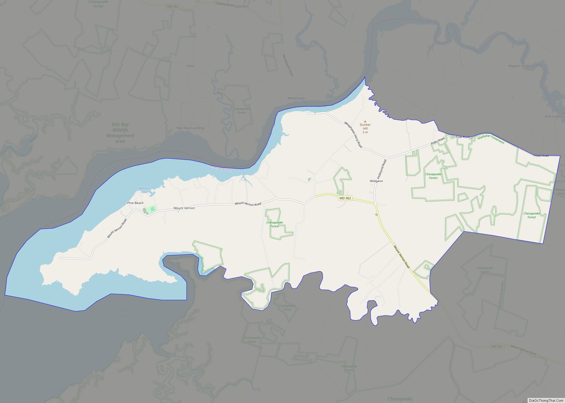
| County: | Somerset County |
| Founded: | 1733 |
| Incorporated: | 1867 |
| Elevation: | 18 ft (5 m) |
| Total Area: | 1.69 sq mi (4.37 km²) |
| Land Area: | 1.67 sq mi (4.33 km²) |
| Water Area: | 0.02 sq mi (0.04 km²) |
| Total Population: | 3,446 |
| Population Density: | 2,063.47/sq mi (796.76/km²) |
| ZIP code: | 21853 |
| Area code: | 410 |
| FIPS code: | 2464000 |
| GNISfeature ID: | 0591074 |
| Website: | www.townofprincessanne.org |
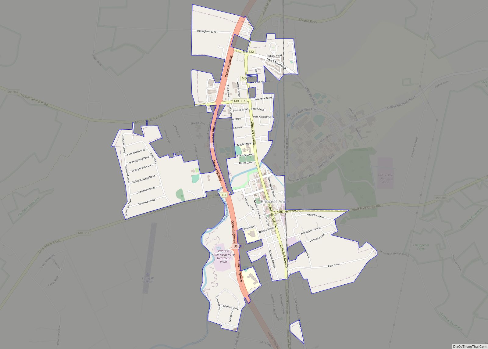
Online Interactive Map
Click on ![]() to view map in "full screen" mode.
to view map in "full screen" mode.
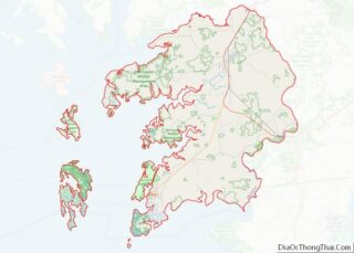
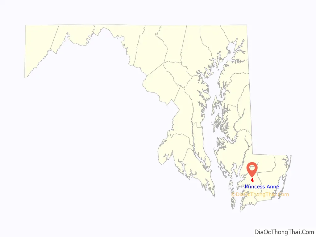
Princess Anne location map. Where is Princess Anne town?

History
The town at the head of the Manokin River was named for Princess Anne of Great Britain, daughter of King George II. Established in 1733, it serves as the county seat for Somerset County, the southernmost county in Maryland.
In the mid-18th century, the town became a market center based on the river trade and development of tobacco plantations in the area. Enslaved African Americans were used to cultivate and process this labor-intensive crop, in addition to other farming. The town’s trade was augmented by the southward extension of the Eastern Shore Railroad on Maryland’s Eastern Shore. At that time, the Manokin River was navigable as far as the bridge at Princess Anne.
Much of the town’s architectural heritage has been preserved. About 150 acres (0.6 km) of the old town, with about 300 structures, is entered on the National Register of Historic Places as the Princess Anne Historic District.
In addition, the Adams Farm, Beckford, Beverly, Catalpa Farm, Glebe House, Harrington, Manokin Historic District, Manokin Presbyterian Church, Mt. Zion Memorial Church, Dr. William B. Pritchard House, Somerset Academy Archaeological Site, Teackle Mansion, University of Maryland Eastern Shore, Waddy House, Waterloo, and White Hall are listed on the National Register of Historic Places.
Princess Anne has the ignoble distinction of being the site of the last lynching in Maryland history. In 1933, a black man named George Armwood was accused of assaulting an elderly white woman. He was removed from the Princess Anne jail by a white mob, dragged around town behind a truck, and eventually hanged. After his death, the rope that formed the noose was cut up and distributed as a souvenir.
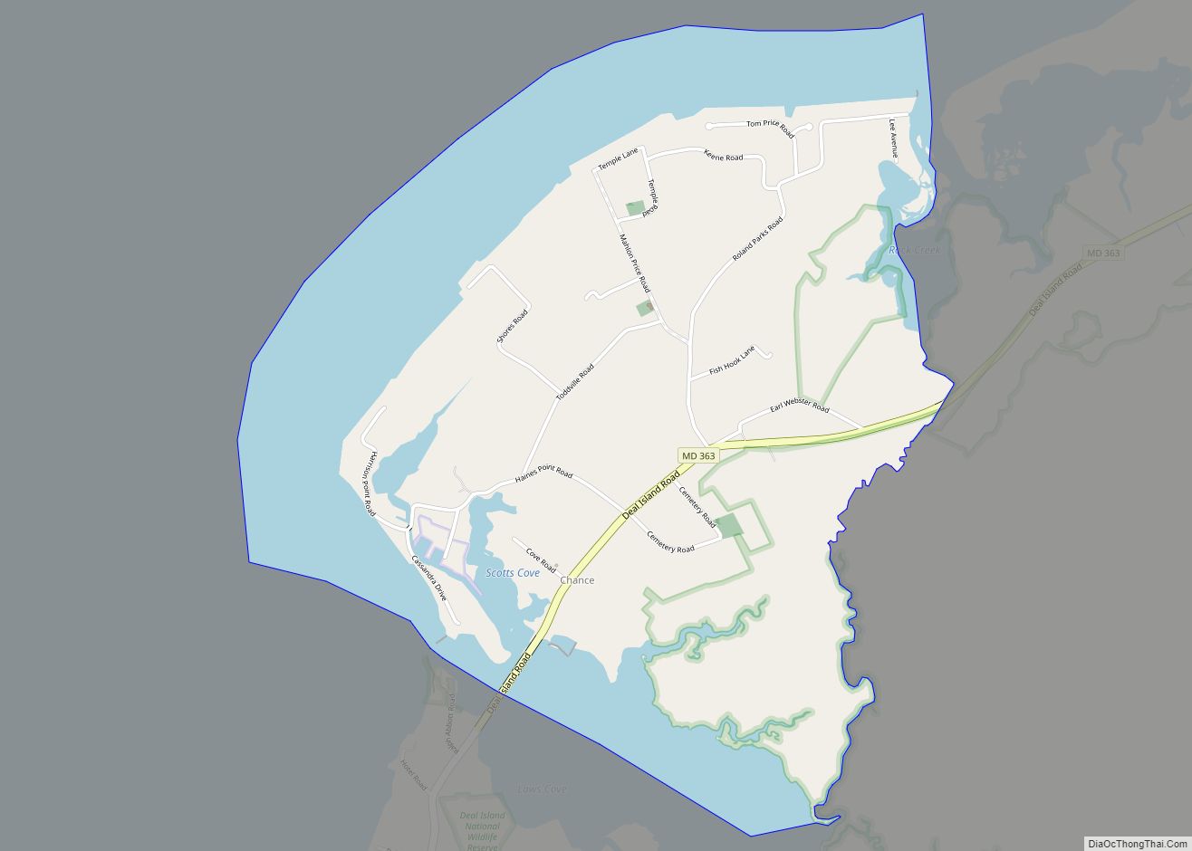
Princess Anne Road Map
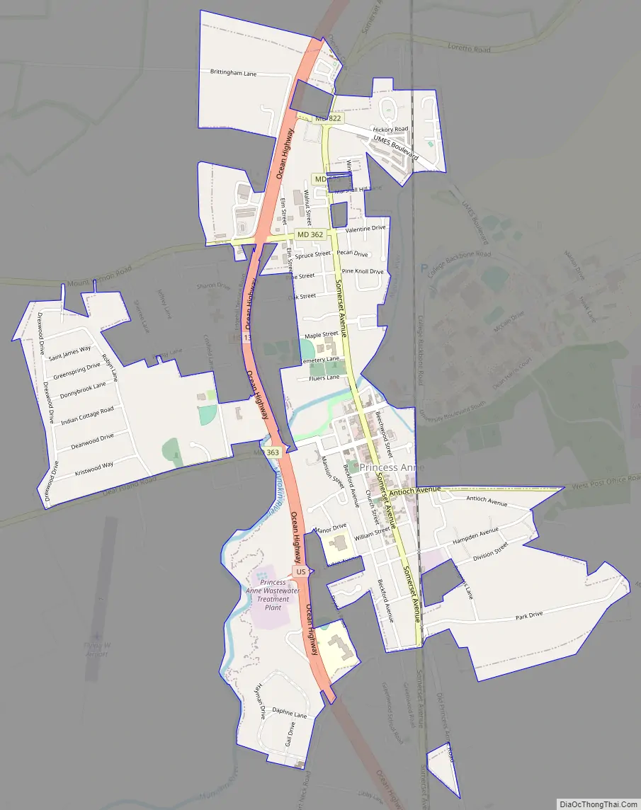
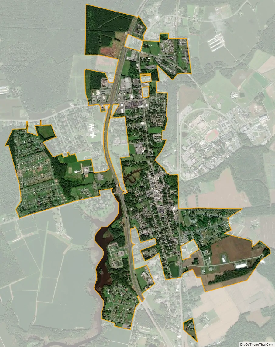
Princess Anne city Satellite Map
Geography
Princess Anne is located at 38°12′N 75°42′W / 38.200°N 75.700°W / 38.200; -75.700 (38.204, –75.695).
According to the United States Census Bureau, the town has a total area of 1.69 square miles (4.38 km), of which 1.67 square miles (4.33 km) is land and 0.02 square miles (0.05 km) is water.
Climate
The climate in this area is characterized by hot, humid summers and generally mild to cool winters. According to the Köppen Climate Classification system, Princess Anne has a humid subtropical climate, abbreviated “Cfa” on climate maps. Princess Anne’s climate is characterized by hot and humid stretches of weather in summer, but they are often broken up by cold fronts from the north offering several days of mild temperatures and lower humidity. Winters are relatively mild compared to areas to the north and northwest, but cold spells send temperatures well below freezing. Due to the impact of the Atlantic Ocean nearby, average snowfall amounts only range from 5 to 10 inches; however, this varies considerably from year to year and occasional nor’easters can produce significant snowfalls over one foot. The Blizzard of 2018, for example, produced 10-15 inches of snow, temperatures in teens, and winds gusting over 40 miles per hour. Tropical storms occasionally impact the region during summer and fall.
See also
Map of Maryland State and its subdivision: Map of other states:- Alabama
- Alaska
- Arizona
- Arkansas
- California
- Colorado
- Connecticut
- Delaware
- District of Columbia
- Florida
- Georgia
- Hawaii
- Idaho
- Illinois
- Indiana
- Iowa
- Kansas
- Kentucky
- Louisiana
- Maine
- Maryland
- Massachusetts
- Michigan
- Minnesota
- Mississippi
- Missouri
- Montana
- Nebraska
- Nevada
- New Hampshire
- New Jersey
- New Mexico
- New York
- North Carolina
- North Dakota
- Ohio
- Oklahoma
- Oregon
- Pennsylvania
- Rhode Island
- South Carolina
- South Dakota
- Tennessee
- Texas
- Utah
- Vermont
- Virginia
- Washington
- West Virginia
- Wisconsin
- Wyoming