Prince Frederick is an unincorporated community and census-designated place (CDP) in Calvert County, Maryland, United States. As of the 2020 census, the population of Prince Frederick was 3,226, up from 2,538 in 2010. It is the county seat of Calvert County.
| Name: | Prince Frederick CDP |
|---|---|
| LSAD Code: | 57 |
| LSAD Description: | CDP (suffix) |
| State: | Maryland |
| County: | Calvert County |
| Founded: | 1722 |
| Elevation: | 138 ft (42 m) |
| Total Area: | 3.67 sq mi (9.50 km²) |
| Land Area: | 3.66 sq mi (9.49 km²) |
| Water Area: | 0.00 sq mi (0.01 km²) |
| Total Population: | 3,226 |
| Population Density: | 880.94/sq mi (340.11/km²) |
| ZIP code: | 20678 |
| Area code: | 410 |
| FIPS code: | 2463950 |
| GNISfeature ID: | 0591073 |
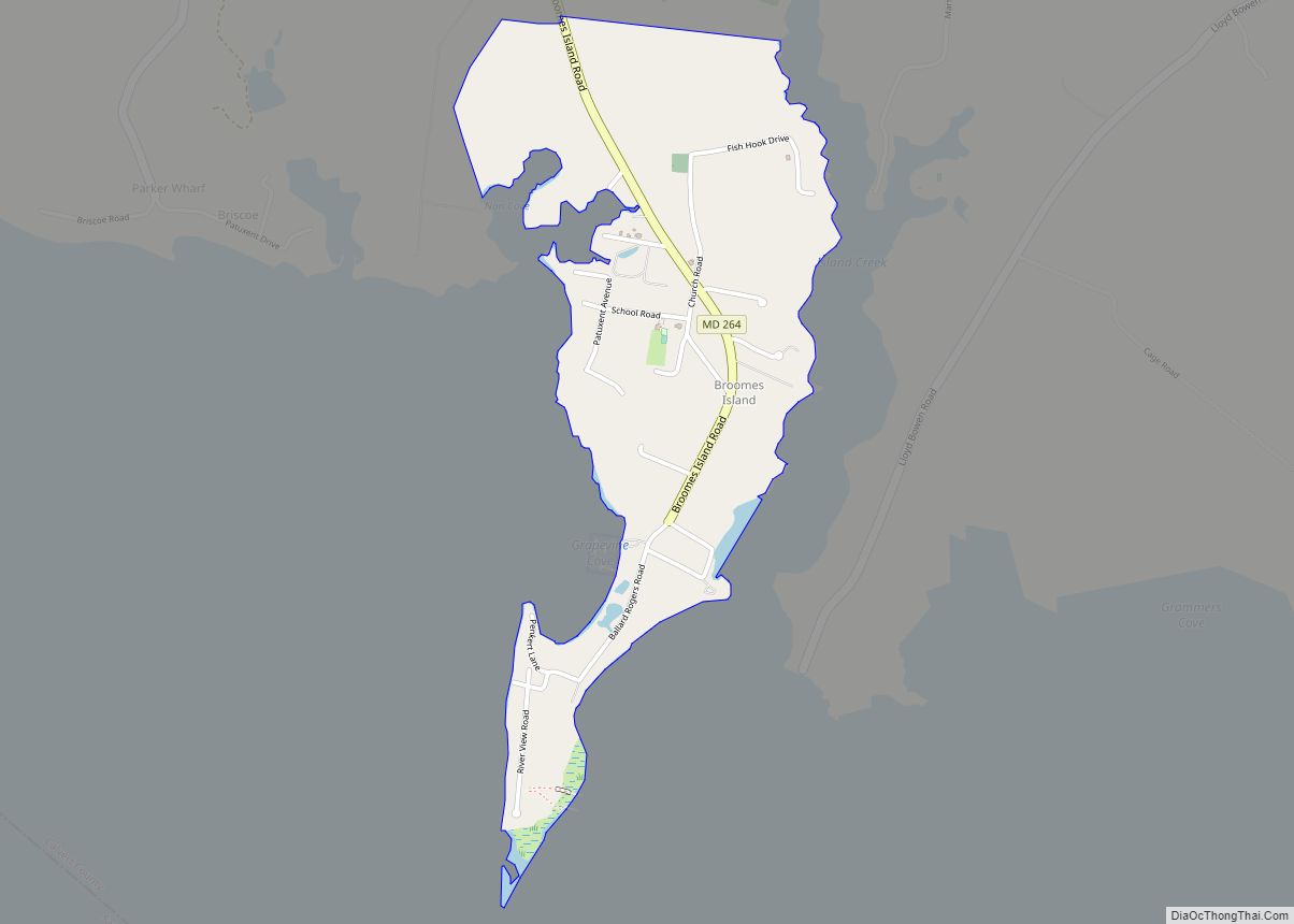
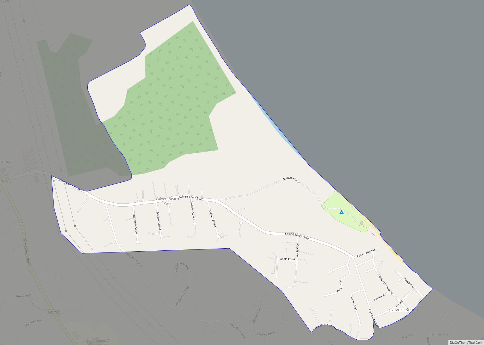
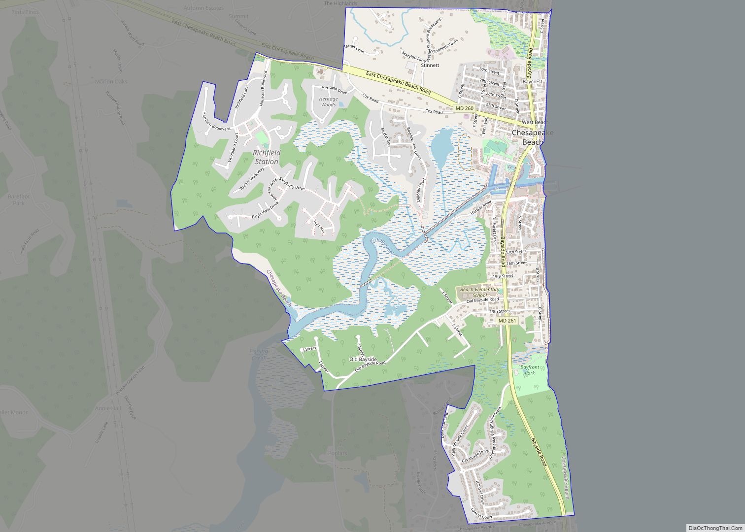
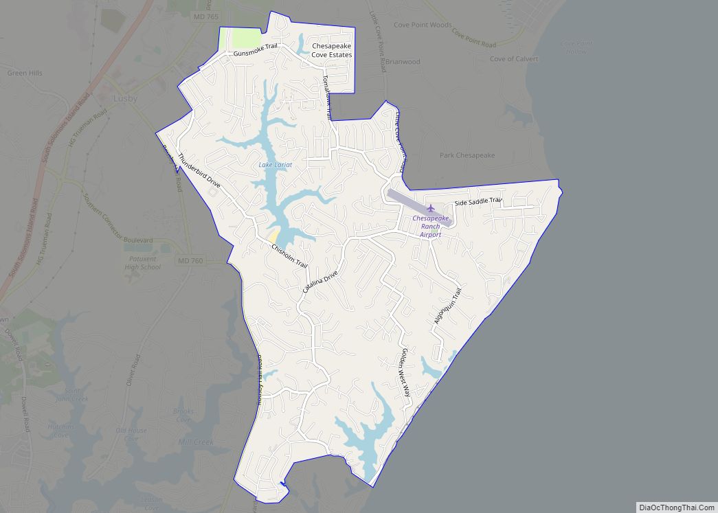
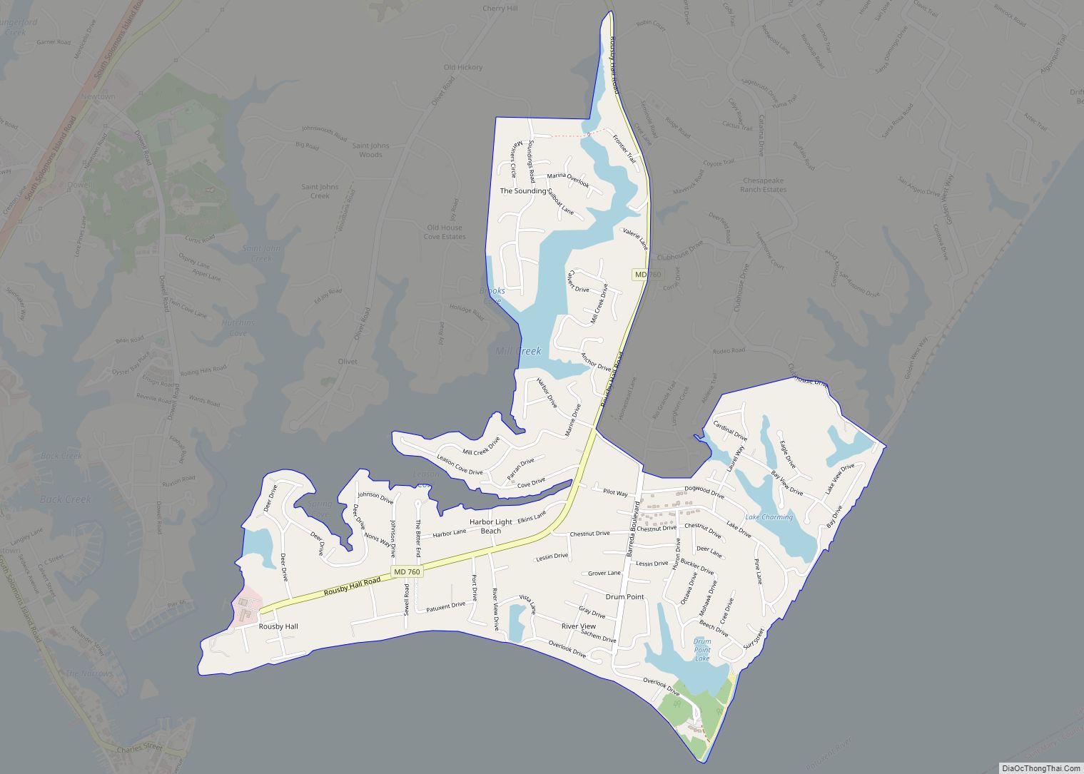
Online Interactive Map
Click on ![]() to view map in "full screen" mode.
to view map in "full screen" mode.
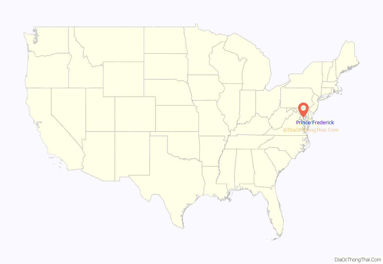
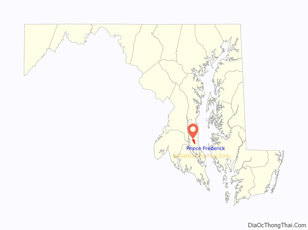
Prince Frederick location map. Where is Prince Frederick CDP?
History
Prince Frederick has served as the county seat of Calvert County since 1722, when officials chose a plot of land known as “Williams’ Old Field” as the spot for the new county courthouse. (Contemporary references to the piece of land include an upscale dining restaurant named Old Field Inn, and a street in Prince Frederick named “Old Field Lane.”) The original courthouse was finally completed in 1732. The town was most likely named for George II’s son Frederick, who was Prince of Wales during the time of the town’s original conception.
In the War of 1812, Commodore Joshua Barney’s Chesapeake Bay Flotilla found refuge from the advancing British in St. Leonard’s Creek, several miles south of Prince Frederick, in June 1814. While laying siege to Barney’s force, the British under the command of Admiral Sir Alexander Cochrane plundered and destroyed the area nearby, including burning the town of Prince Frederick.
In 1882, Prince Frederick burned a second time, when a massive fire destroyed virtually the entire town and its courthouse. A new courthouse was erected on the same spot, and remains the center of Calvert County’s government to this day.
In the 1960s, Albert Irvin Cassell, a prominent mid-twentieth-century African-American architect in Washington, D.C., sought to develop Chesapeake Heights on the Bay, a 520-acre (2.1 km) summer resort community for African-Americans. The project was to feature houses, a motel, shopping centers, a pier, a marina, beaches, and a clubhouse fronting the Chesapeake Bay. Roads and a few homes were built by 1969, but the project ended with Cassell’s death in that same year.
In 1984, Prince Frederick was named one of seven “town centers” by Calvert County’s government. The town center designation meant that while Prince Frederick was still not formally incorporated, special zoning regulations would be enacted and boundaries would be established so new growth would be centered around the existing commercial and residential districts. This was done in order to take advantage of existing infrastructure and discourage poorly planned urban sprawl. Prince Frederick’s town center status also meant the creation of special architectural review boards who would encourage theme and unity of new buildings built within the town center.
Linden was listed on the National Register of Historic Places in 2000.
On April 28, 2002, an F4 tornado passed just south of Prince Frederick, killing one person. The same tornado had also devastated the downtown business district of La Plata in neighboring Charles County.
Prince Frederick Road Map
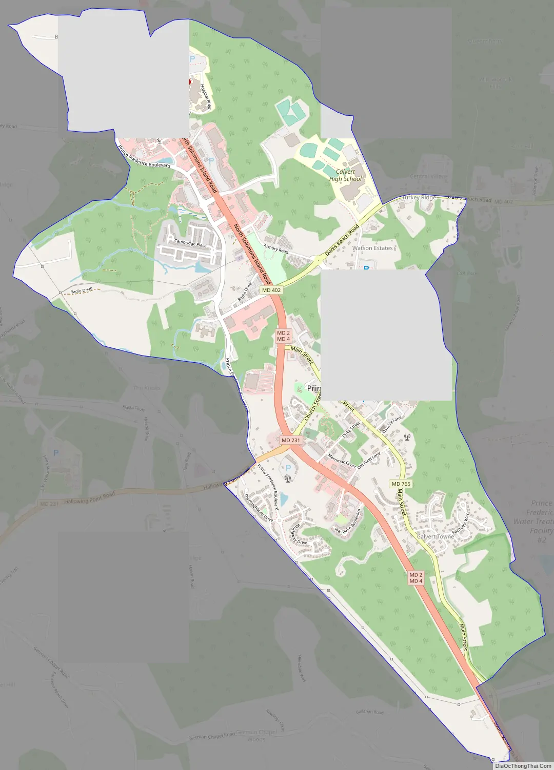
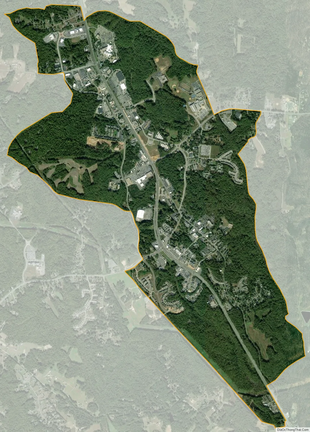
Prince Frederick city Satellite Map
Geography
Prince Frederick is located in the center of Calvert County at 38°32′55″N 76°35′19″W / 38.54861°N 76.58861°W / 38.54861; -76.58861 (38.548720, −76.588748).
According to the United States Census Bureau, the CDP has a total area of 3.7 square miles (9.5 km), of which 0.004 square miles (0.01 km), or 0.11%, is water.
Climate
The climate in this area is characterized by hot, humid summers and generally mild to cool winters. According to the Köppen Climate Classification system, Prince Frederick has a humid subtropical climate, abbreviated “Cfa” on climate maps.
See also
Map of Maryland State and its subdivision: Map of other states:- Alabama
- Alaska
- Arizona
- Arkansas
- California
- Colorado
- Connecticut
- Delaware
- District of Columbia
- Florida
- Georgia
- Hawaii
- Idaho
- Illinois
- Indiana
- Iowa
- Kansas
- Kentucky
- Louisiana
- Maine
- Maryland
- Massachusetts
- Michigan
- Minnesota
- Mississippi
- Missouri
- Montana
- Nebraska
- Nevada
- New Hampshire
- New Jersey
- New Mexico
- New York
- North Carolina
- North Dakota
- Ohio
- Oklahoma
- Oregon
- Pennsylvania
- Rhode Island
- South Carolina
- South Dakota
- Tennessee
- Texas
- Utah
- Vermont
- Virginia
- Washington
- West Virginia
- Wisconsin
- Wyoming