Pylesville is an unincorporated community and census-designated place (CDP) in Harford County, Maryland, United States. The population was 693 at the 2010 census. It is part of the Baltimore metropolitan area. Legend says the town was named after Brandon Pyles. Until 1958, this community was served by the Maryland and Pennsylvania Railroad at milepost 40.3.
| Name: | Pylesville CDP |
|---|---|
| LSAD Code: | 57 |
| LSAD Description: | CDP (suffix) |
| State: | Maryland |
| County: | Harford County |
| Elevation: | 358 ft (109 m) |
| Total Area: | 4.75 sq mi (12.30 km²) |
| Land Area: | 4.74 sq mi (12.29 km²) |
| Water Area: | 0.01 sq mi (0.02 km²) |
| Total Population: | 711 |
| Population Density: | 149.87/sq mi (57.87/km²) |
| ZIP code: | 21132 |
| Area code: | 410 and 443 and 667 |
| FIPS code: | 2464375 |
| GNISfeature ID: | 0591085 |
Online Interactive Map
Click on ![]() to view map in "full screen" mode.
to view map in "full screen" mode.
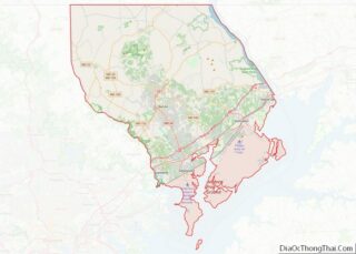
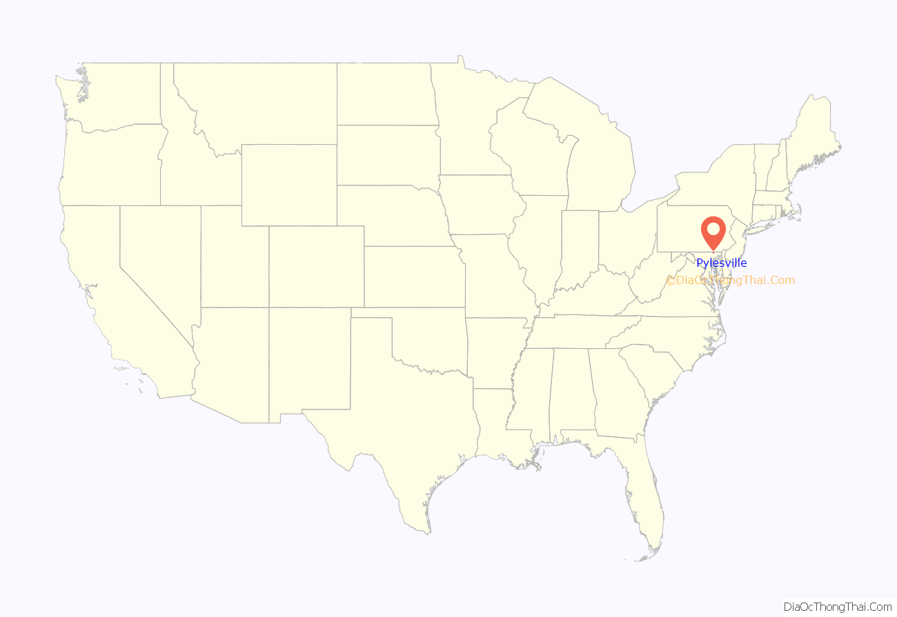
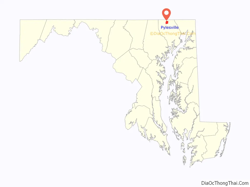
Pylesville location map. Where is Pylesville CDP?
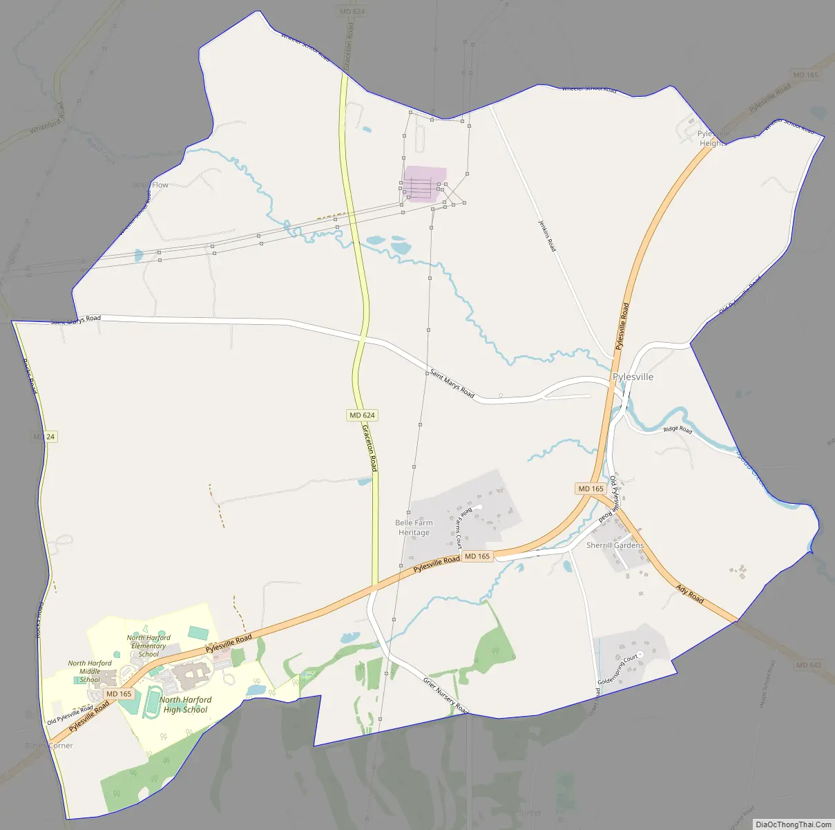
Pylesville Road Map
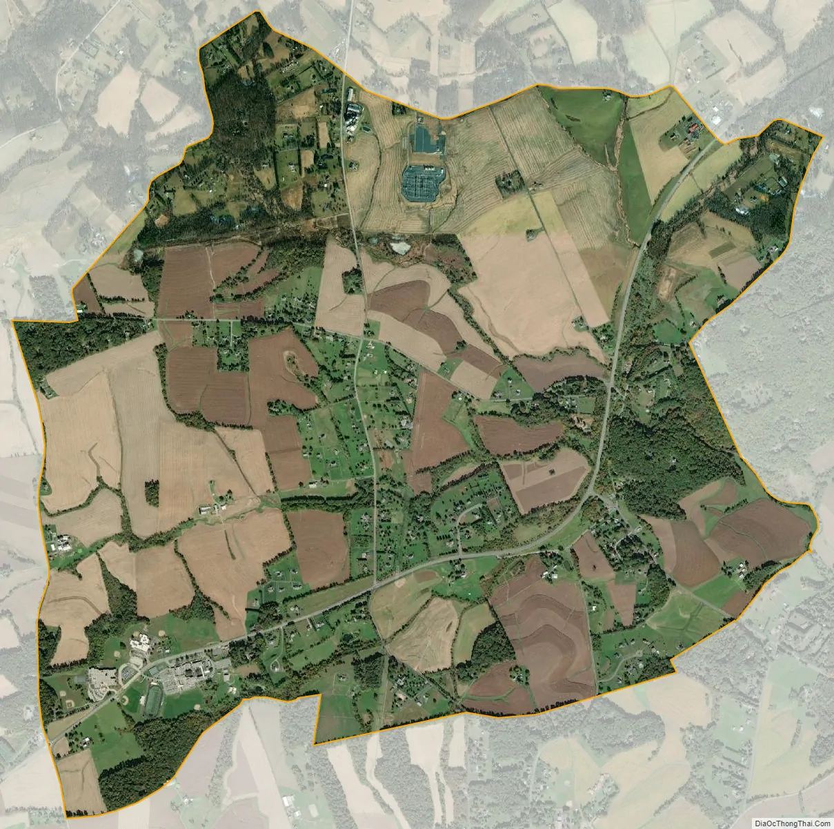
Pylesville city Satellite Map
Geography
Pylesville is in northern Harford County and straddles Broad Creek, an east-flowing tributary of the Susquehanna River. Maryland Route 165 runs through the town, leading northeast 3 miles (5 km) to the Pennsylvania border near Cardiff and southwest 9 miles (14 km) to Jarrettsville. Maryland Route 543 leaves MD 165 just south of the town center, leading south 9 miles (14 km) to Hickory. Bel Air, the Harford County seat, is 12 miles (19 km) to the south via MD 543 and U.S. Route 1 Business.
According to the U.S. Census Bureau, the Pylesville CDP has a total area of 4.7 square miles (12.3 km), of which 0.01 square miles (0.02 km), or 0.14%, are water. The CDP extends west from the original settlement of Pylesville as far as Maryland Route 24 (St. Clair Bridge Road).
See also
Map of Maryland State and its subdivision: Map of other states:- Alabama
- Alaska
- Arizona
- Arkansas
- California
- Colorado
- Connecticut
- Delaware
- District of Columbia
- Florida
- Georgia
- Hawaii
- Idaho
- Illinois
- Indiana
- Iowa
- Kansas
- Kentucky
- Louisiana
- Maine
- Maryland
- Massachusetts
- Michigan
- Minnesota
- Mississippi
- Missouri
- Montana
- Nebraska
- Nevada
- New Hampshire
- New Jersey
- New Mexico
- New York
- North Carolina
- North Dakota
- Ohio
- Oklahoma
- Oregon
- Pennsylvania
- Rhode Island
- South Carolina
- South Dakota
- Tennessee
- Texas
- Utah
- Vermont
- Virginia
- Washington
- West Virginia
- Wisconsin
- Wyoming