Boston (US: /ˈbɔːstən/), officially the City of Boston, is the capital and largest city of the Commonwealth of Massachusetts and the cultural and financial center of the New England region of the Northeastern United States. The city boundaries encompass an area of about 48.4 sq mi (125 km) and a population of 675,647 as of 2020. The city ... Read more
Massachusetts Cities and Places
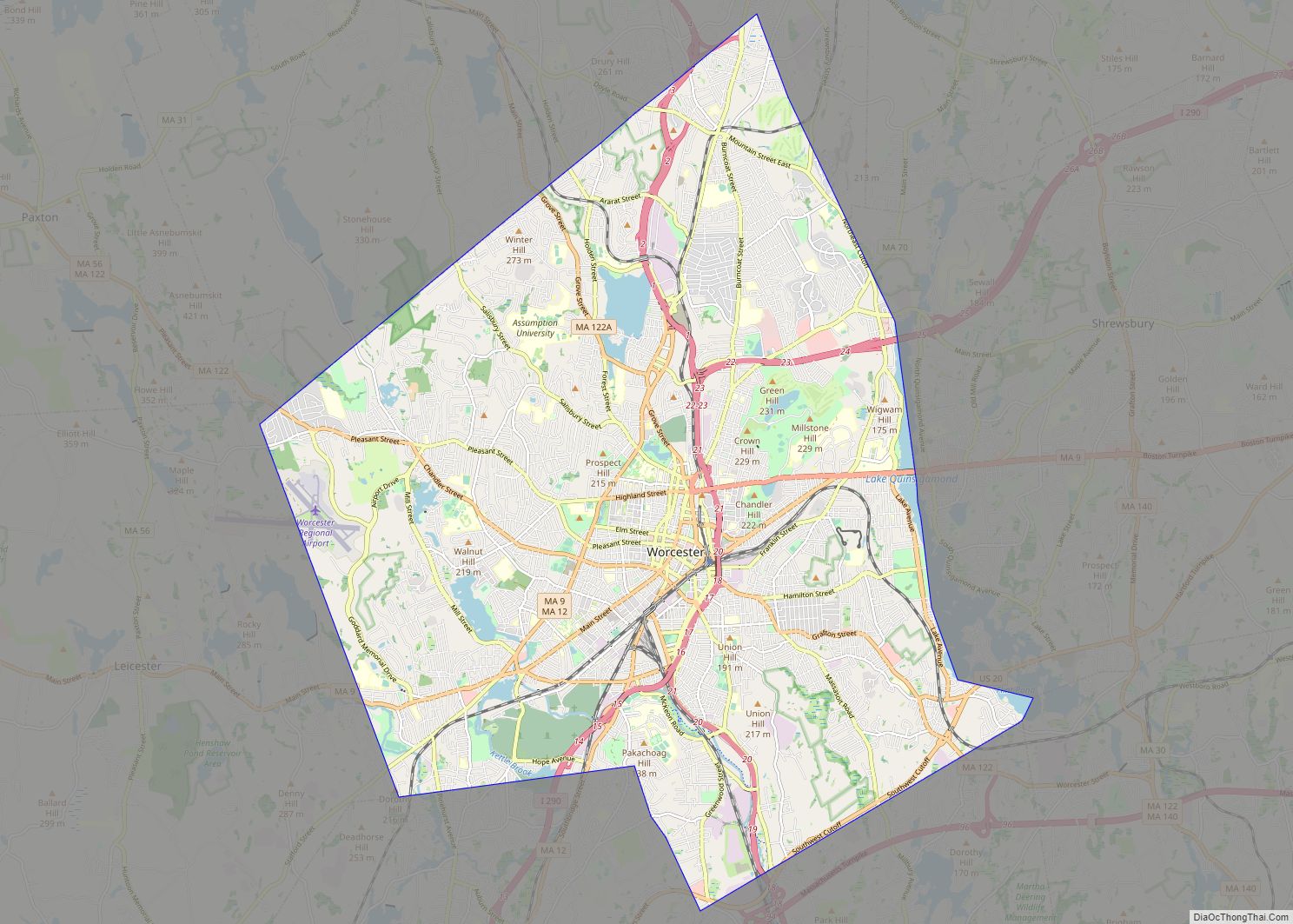
Worcester (/ˈwʊstər/ (listen) WUUS-tər, locally [ˈwɪstə]) is the second largest city in the Commonwealth of Massachusetts and the 114th most-populous city in the United States. Named after Worcester, England, the city’s population was 206,518 at the 2020 census, also making it the second-most populous city in New England after Boston. Worcester is approximately 40 miles ... Read more
Springfield is the largest city in and the seat of Hampden County, Massachusetts, United States. Springfield sits on the eastern bank of the Connecticut River near its confluence with three rivers: the western Westfield River, the eastern Chicopee River, and the eastern Mill River. At the 2020 census, the city’s population was 155,929, making it ... Read more
Cambridge (/ˈkeɪmbrɪdʒ/ KAYM-brij) is a city in Middlesex County, Massachusetts, in the United States. It is a major suburb in the Greater Boston metropolitan area, located directly across the Charles River from Boston. The city’s population as of the 2020 U.S. census was 118,403, making it the largest city in the county, the fourth most ... Read more
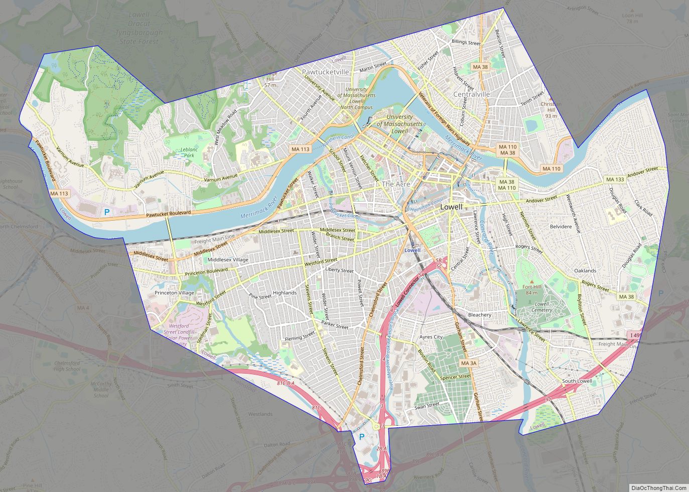
Lowell (/ˈloʊəl/) is a city in Massachusetts, in the United States. Alongside Cambridge, It is one of two traditional seats of Middlesex County. With an estimated population of 115,554 in 2020, it was the fifth most populous city in Massachusetts as of the last census, and the third most populous in the Boston metropolitan statistical ... Read more
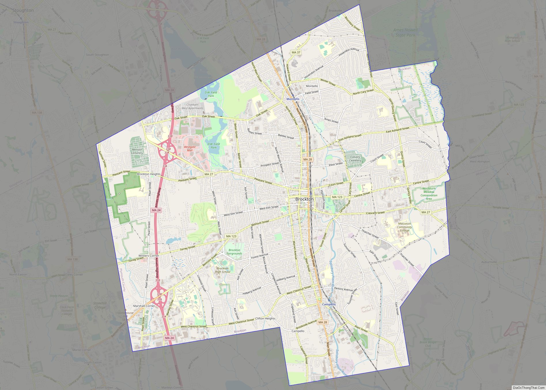
Brockton is a city in Plymouth County, Massachusetts, United States; the population was 105,643 at the 2020 United States census. Along with Plymouth, it is one of the two county seats of Plymouth County. It is the sixth-largest city in Massachusetts and is sometimes referred to as the “City of Champions”, due to the success ... Read more
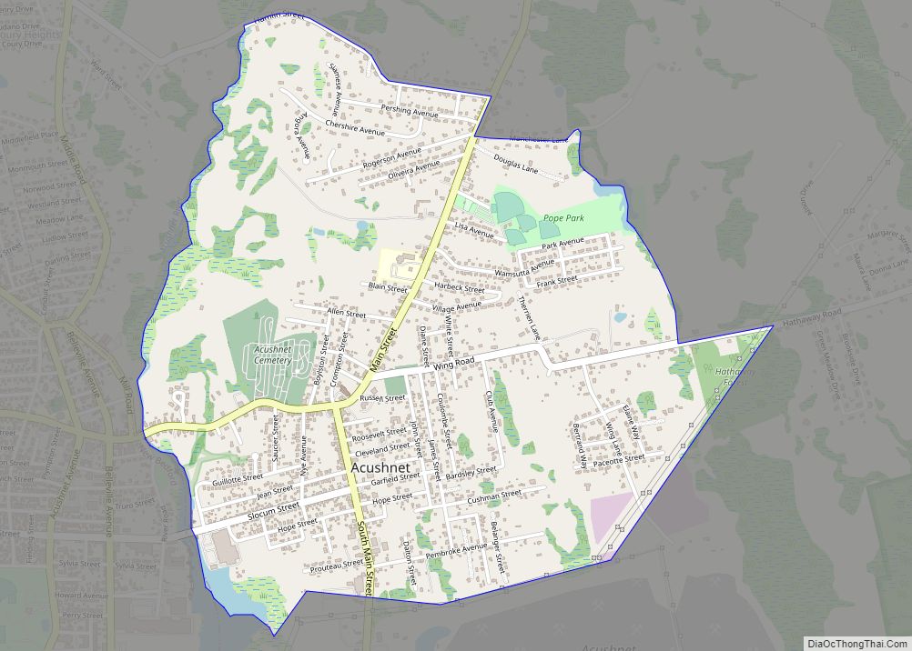
Acushnet Center CDP overview: Name: Acushnet Center CDP LSAD Code: 57 LSAD Description: CDP (suffix) State: Massachusetts County: Bristol County FIPS code: 2500530 Online Interactive Map Acushnet Center online map. Source: Basemap layers from Google Map, Open Street Map (OSM), Arcgisonline, Wmflabs. Boundary Data from Database of Global Administrative Areas. Acushnet Center location map. Where ... Read more
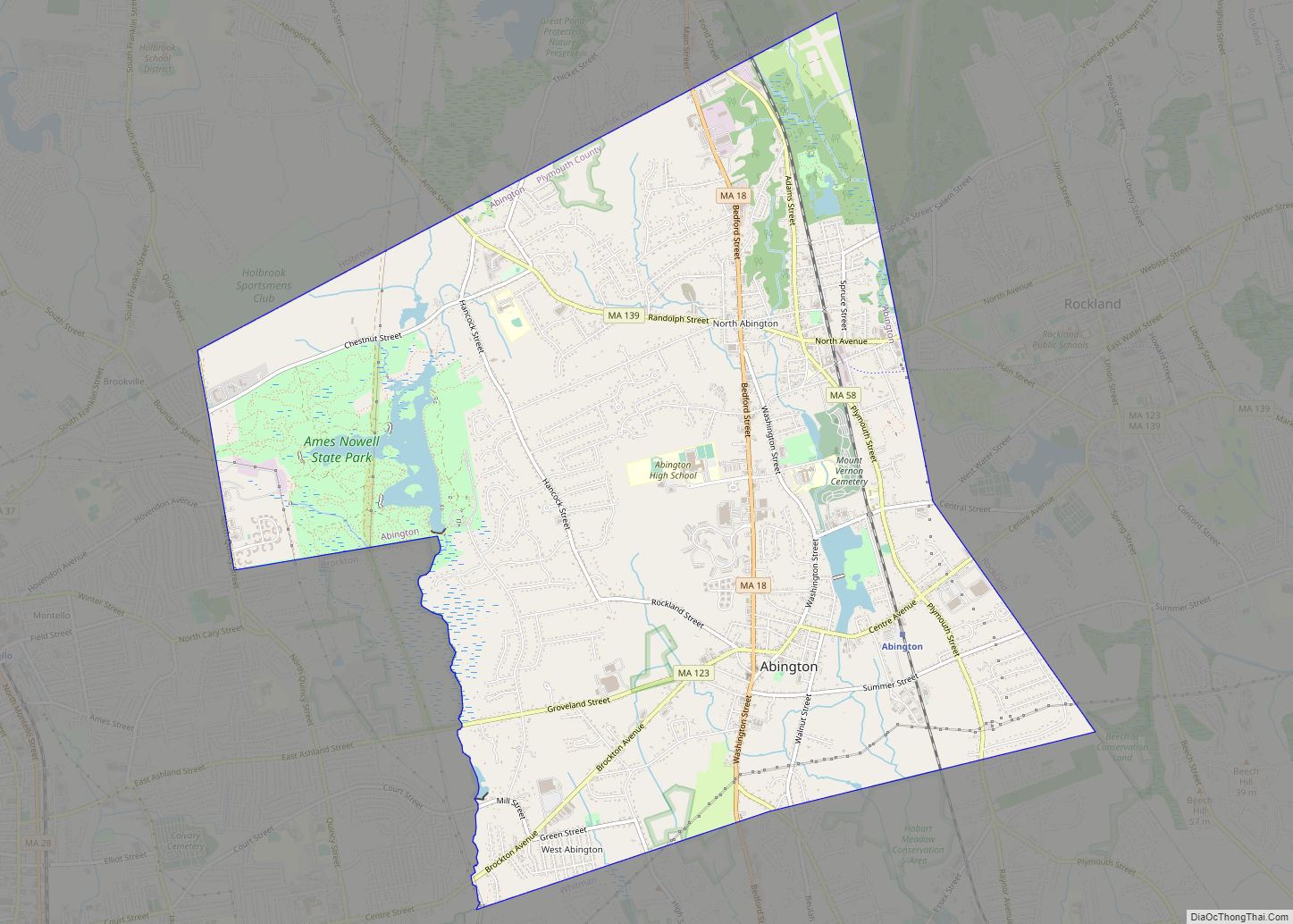
Abington is a town in Plymouth County, Massachusetts, United States, 20 miles (32 km) southeast of Boston. The population was 17,062 at the 2020 census. Abington CDP overview: Name: Abington CDP LSAD Code: 57 LSAD Description: CDP (suffix) State: Massachusetts County: Plymouth County Incorporated: 1712 Elevation: 108 ft (33 m) Total Area: 10.19 sq mi (26.39 km²) Land Area: 9.96 sq mi (25.80 km²) ... Read more
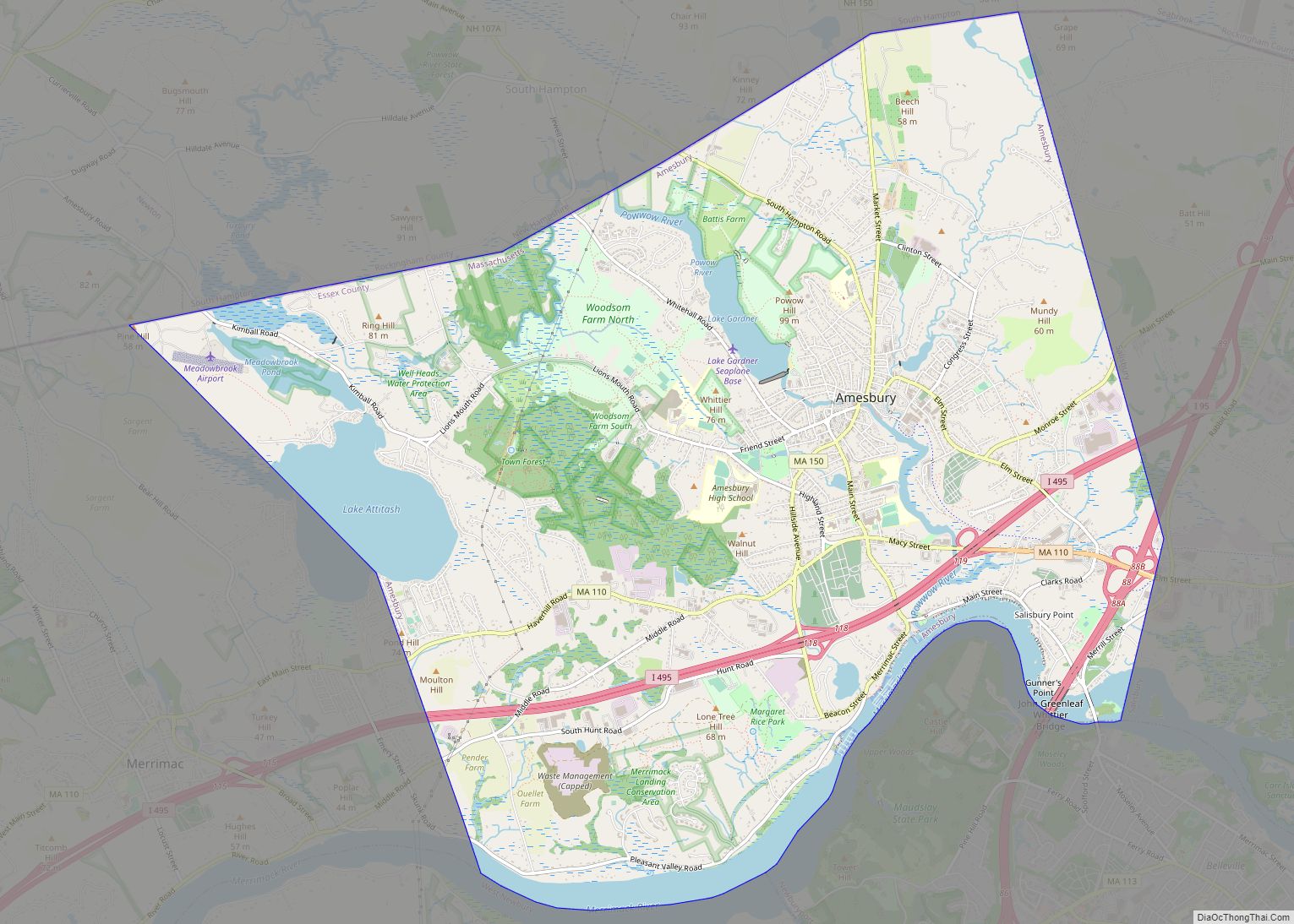
Amesbury Town city overview: Name: Amesbury Town city LSAD Code: 25 LSAD Description: city (suffix) State: Massachusetts County: Essex County FIPS code: 2501260 Online Interactive Map Amesbury Town online map. Source: Basemap layers from Google Map, Open Street Map (OSM), Arcgisonline, Wmflabs. Boundary Data from Database of Global Administrative Areas. Amesbury Town location map. Where ... Read more
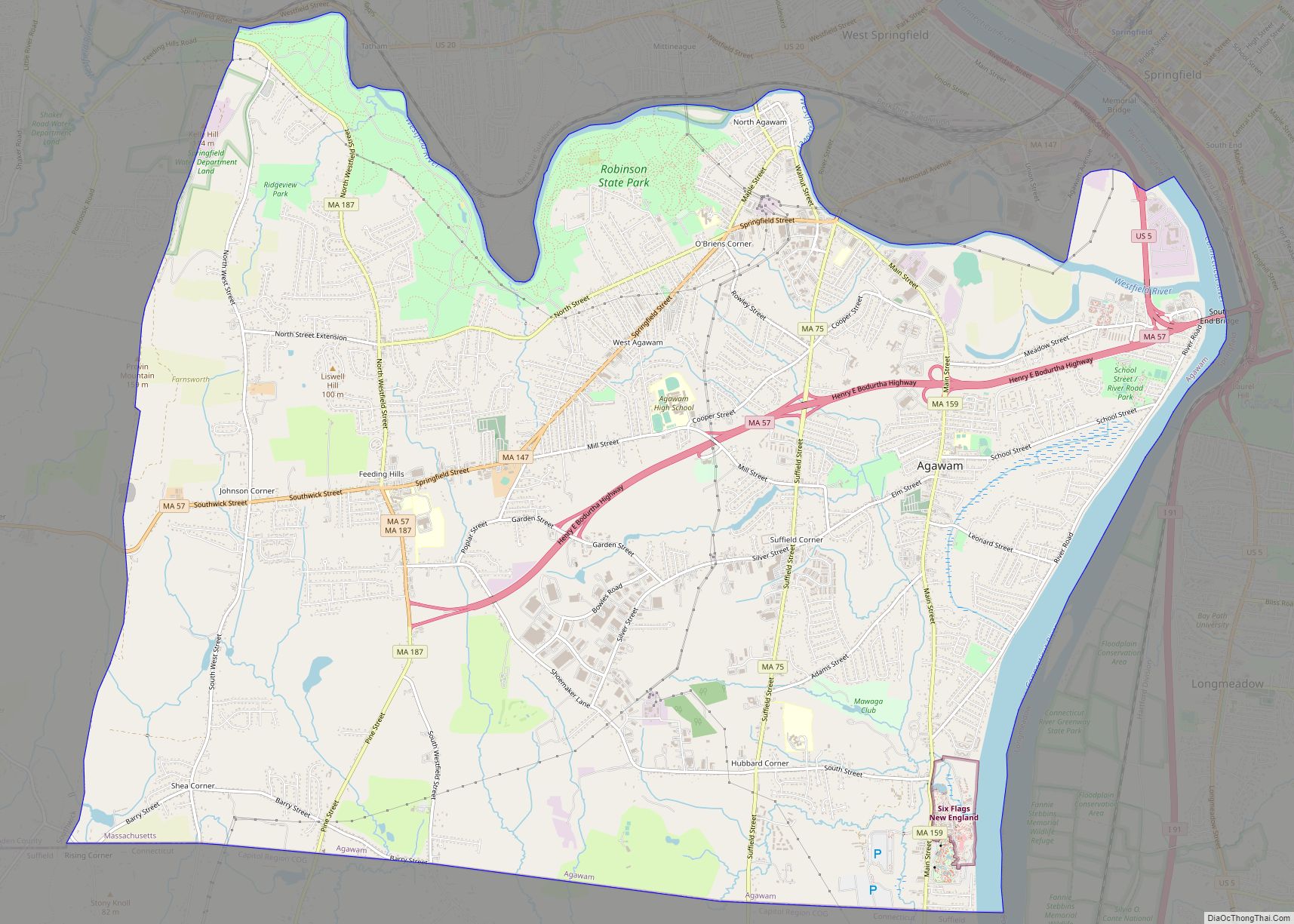
Agawam Town city overview: Name: Agawam Town city LSAD Code: 25 LSAD Description: city (suffix) State: Massachusetts County: Hampden County FIPS code: 2500840 Online Interactive Map Agawam Town online map. Source: Basemap layers from Google Map, Open Street Map (OSM), Arcgisonline, Wmflabs. Boundary Data from Database of Global Administrative Areas. Agawam Town location map. Where ... Read more
Adams is a census-designated place (CDP) located in the town of Adams in Berkshire County, Massachusetts, United States. The population was 5,515 at the 2010 census, out of 8,485 in the entire town of Adams. Adams CDP overview: Name: Adams CDP LSAD Code: 57 LSAD Description: CDP (suffix) State: Massachusetts County: Berkshire County Elevation: 794 ft ... Read more
Arlington is a town in Middlesex County, Massachusetts. The town is six miles (10 km) northwest of Boston, and its population was 46,308 at the 2020 census. Arlington CDP overview: Name: Arlington CDP LSAD Code: 57 LSAD Description: CDP (suffix) State: Massachusetts County: Middlesex County Incorporated: 1807 Elevation: 46 ft (14 m) Total Area: 5.495 sq mi (14.235 km²) Land Area: ... Read more

