Arlington is a town in Middlesex County, Massachusetts. The town is six miles (10 km) northwest of Boston, and its population was 46,308 at the 2020 census.
| Name: | Arlington CDP |
|---|---|
| LSAD Code: | 57 |
| LSAD Description: | CDP (suffix) |
| State: | Massachusetts |
| County: | Middlesex County |
| Incorporated: | 1807 |
| Elevation: | 46 ft (14 m) |
| Total Area: | 5.495 sq mi (14.235 km²) |
| Land Area: | 5.048 sq mi (13.077 km²) |
| Water Area: | 0.447 sq mi (1.158 km²) |
| Total Population: | 46,308 |
| Population Density: | 9,173.53/sq mi (3,541.18/km²) |
| Area code: | 339 / 781 |
| FIPS code: | 2501640 |
| GNISfeature ID: | 0619393 |
| Website: | www.arlingtonma.gov |
Online Interactive Map
Click on ![]() to view map in "full screen" mode.
to view map in "full screen" mode.
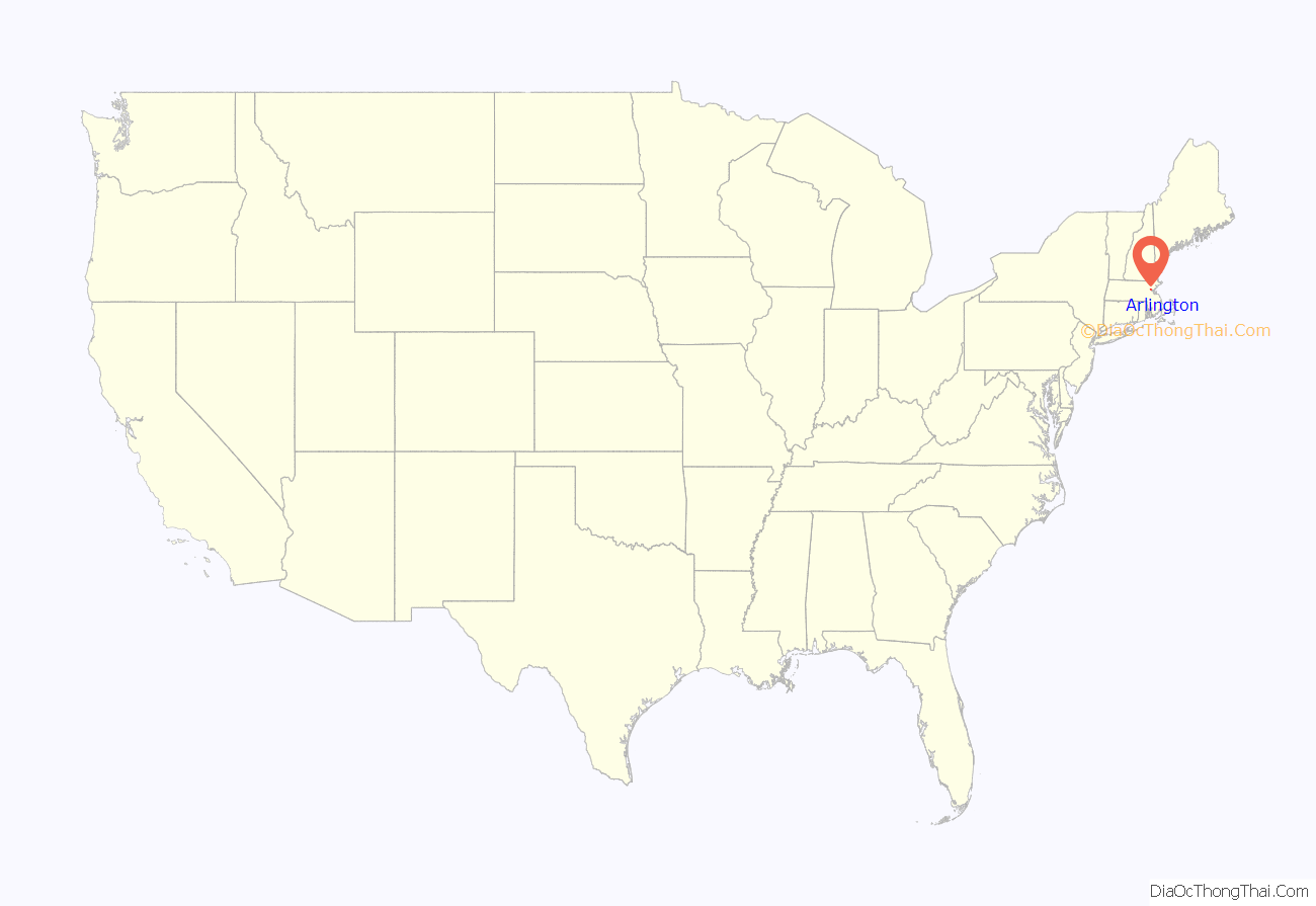
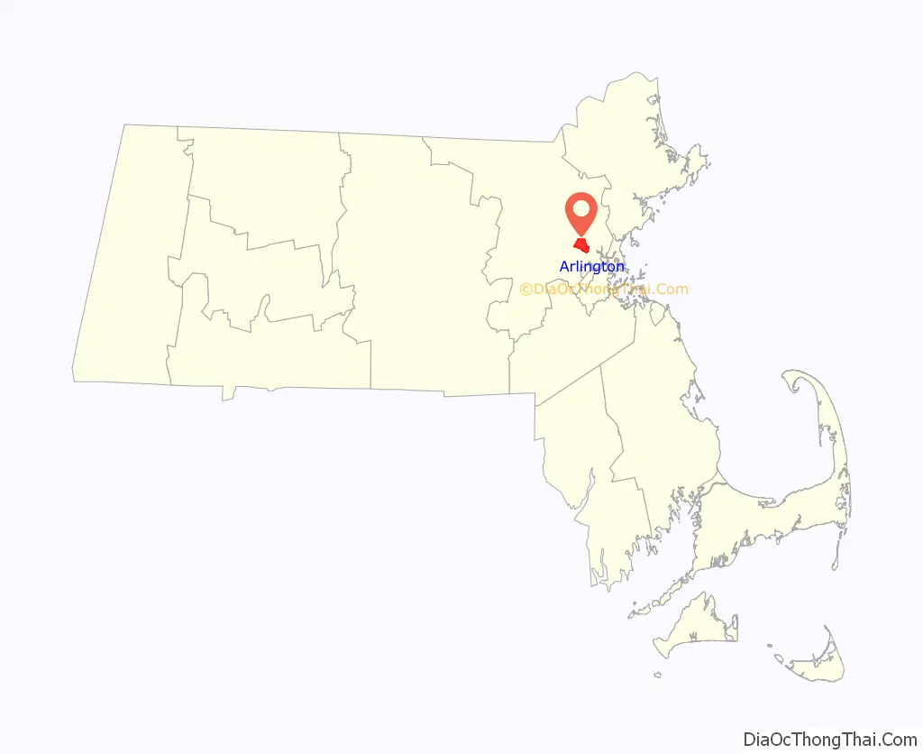
Arlington location map. Where is Arlington CDP?
History
European colonists settled the Town of Arlington in 1635 as a village within the boundaries of Cambridge, Massachusetts, under the name Menotomy, an Algonquian word considered by some to mean “swift running water”, though linguistic anthropologists dispute that translation. A larger area was incorporated on February 27, 1807 as West Cambridge, replacing Menotomy. This includes the town of Belmont, and outwards to the shore of the Mystic River, which had previously been part of Charlestown. The town was renamed Arlington on April 30, 1867 in honor of those buried in Arlington National Cemetery.
The Massachusett tribe lived around the Mystic Lakes, the Mystic River, and Alewife Brook. Chief Nanepashemet was killed by a rival tribe in about 1619, and Nanepashemet’s widow “Squaw Sachem of Mistick” became the acknowledged leader of the tribe. In 1639, she deeded the land of what was then Cambridge and Watertown to the colonists. She lived her last years on the west side of the Mystic Lakes near Medford, where she died sometime between 1650 and 1667.
A stream called Mill Brook flows through the town, which historically figured largely into Arlington’s economy. In 1637, Captain George Cooke built the first mill in this area. Subsequently, seven mills were built along the stream, including the Old Schwamb Mill, which still survives. The Schwamb Mill has been a working mill since 1650, making it the longest working mill in the country.
Paul Revere’s famous midnight ride to alert colonists took him through Menotomy, now known as Arlington. Later on that first day of the American Revolution, more blood was shed in Menotomy than in the battles of Lexington and Concord combined. Minutemen from surrounding towns converged on Menotomy to ambush the British on their retreat from Concord and Lexington. Twenty-five Americans were killed in Menotomy, half of all Americans killed in the day’s battles, as well as 40 British troops (more than half their fatalities).
The Jason Russell House is a museum which remembers those 12 Americans who were killed in and around this pictured dwelling on April 19, 1775. Bullet holes are visible in the interior walls to this day.
In its early years, Arlington was a thriving farming community and had its own lettuce that was quite popular. Arlington had a large ice industry on Spy Pond from the mid-19th century until the last ice house burned down in 1930; much of its ice was sent to the Caribbean and India by “Ice King” Frederic Tudor.
Arlington’s population grew by over 90 percent during the 1920s. In 1979, the first spreadsheet software program VisiCalc was developed by Bob Frankston and Dan Bricklin in the attic of the Arlington apartment rented by Bob Frankston.
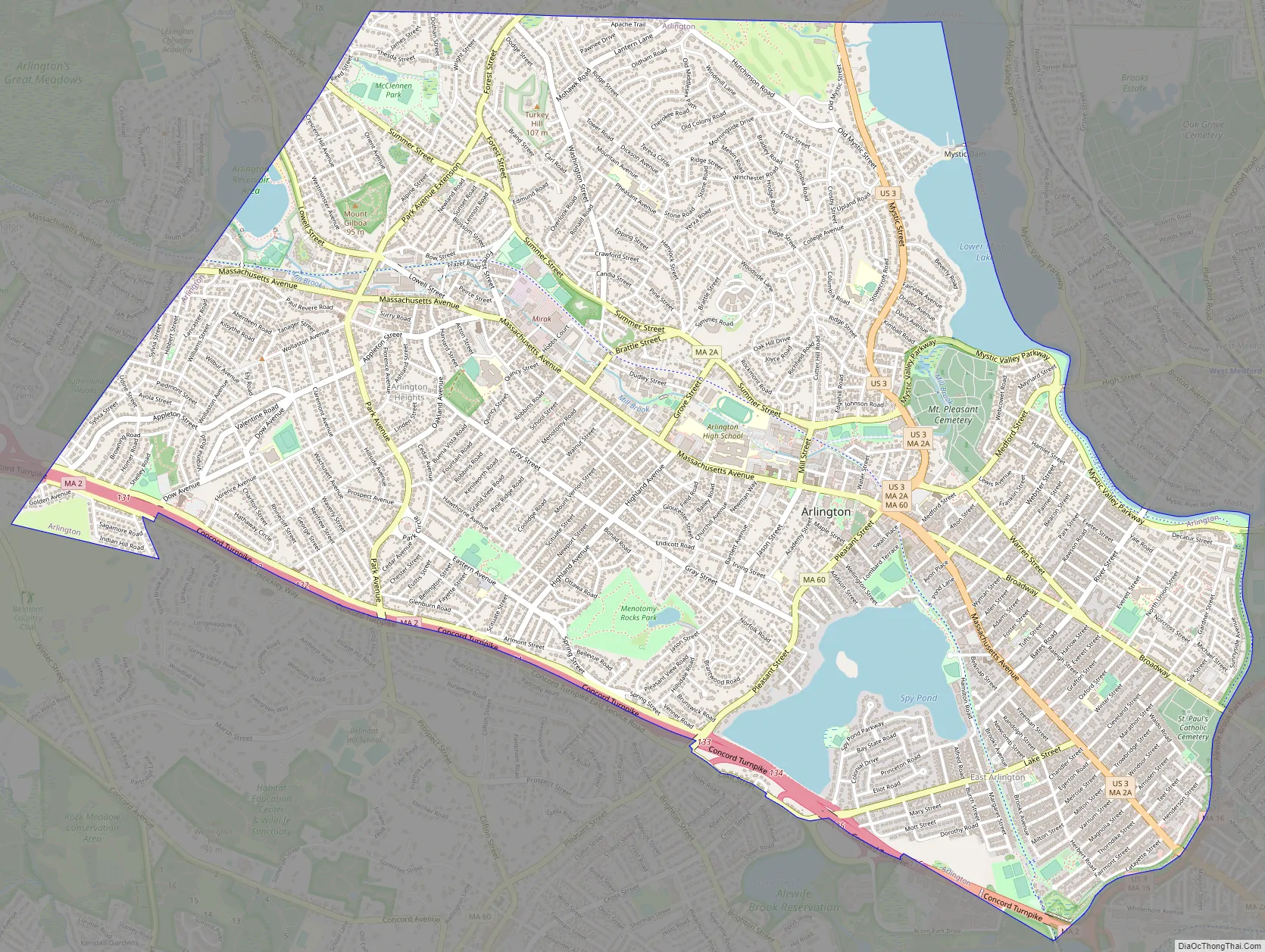
Arlington Road Map
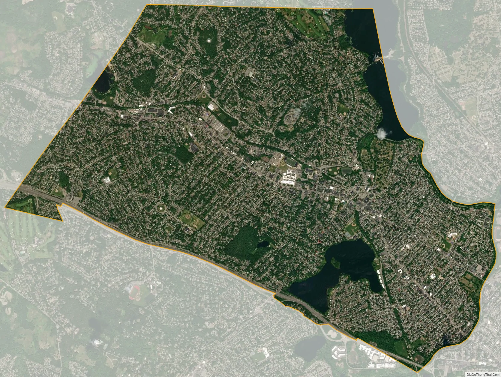
Arlington city Satellite Map
Geography
Arlington covers 3,517.5 acres (14 km), or 5.5 square miles, of which 286.2 acres (1.2 km), or 0.4 square miles, are covered by water. There are 210.52 acres (0.9 km) of parkland. Elevation ranges from 4 feet (1.2 m) above sea level (along Alewife Brook) to 377 feet (114.9 m) near Park Avenue and Eastern Avenue.
Arlington borders on the Mystic Lakes, Mystic River, and Alewife Brook. Within its borders are Spy Pond, the Arlington Reservoir, Mill Brook, and Hills Pond.
Neighborhoods
- Arlington Center
- Arlington Heights, in the west
- East Arlington, east of Franklin Street
- Brattle Square
- Jason Heights
- Arlmont Village
- Morningside
- North Union
- Turkey Hill
- Little Scotland
- Poets’ Corner
- Kelwyn Manor
- Quincy Heights, a neighborhood in Arlington Heights
Zip Codes
- 02474: East Arlington, and most of the rest of the town north of the Minuteman Bikeway
- 02476: Arlington Heights, and most of the rest of the town south of the Bikeway and west of Spy Pond
Adjacent municipalities
Arlington is located in eastern Massachusetts and is bordered by the cities of Medford to the northeast, Somerville to the east, Cambridge to the southeast, and the towns of Winchester to the north, Lexington to the west, and Belmont to the south.
Transportation
Several MBTA bus routes passes through the town.
See also
Map of Massachusetts State and its subdivision: Map of other states:- Alabama
- Alaska
- Arizona
- Arkansas
- California
- Colorado
- Connecticut
- Delaware
- District of Columbia
- Florida
- Georgia
- Hawaii
- Idaho
- Illinois
- Indiana
- Iowa
- Kansas
- Kentucky
- Louisiana
- Maine
- Maryland
- Massachusetts
- Michigan
- Minnesota
- Mississippi
- Missouri
- Montana
- Nebraska
- Nevada
- New Hampshire
- New Jersey
- New Mexico
- New York
- North Carolina
- North Dakota
- Ohio
- Oklahoma
- Oregon
- Pennsylvania
- Rhode Island
- South Carolina
- South Dakota
- Tennessee
- Texas
- Utah
- Vermont
- Virginia
- Washington
- West Virginia
- Wisconsin
- Wyoming


