Brockton is a city in Plymouth County, Massachusetts, United States; the population was 105,643 at the 2020 United States census. Along with Plymouth, it is one of the two county seats of Plymouth County. It is the sixth-largest city in Massachusetts and is sometimes referred to as the “City of Champions”, due to the success of native boxers Rocky Marciano and Marvin Hagler, as well as its successful Brockton High School sports programs. Two villages within it are Montello and Campello, both of which have MBTA Commuter Rail Stations and post offices. Campello is the smallest neighborhood, but also the most populous. Brockton hosts a baseball team, the Brockton Rox. It is the second-windiest city in the United States, with an average wind speed of 14.3 mph (23.0 km/h).
| Name: | Brockton city |
|---|---|
| LSAD Code: | 25 |
| LSAD Description: | city (suffix) |
| State: | Massachusetts |
| County: | Plymouth County |
| Elevation: | 112 ft (34 m) |
| Total Area: | 21.52 sq mi (55.73 km²) |
| Land Area: | 21.33 sq mi (55.25 km²) |
| Water Area: | 0.18 sq mi (0.48 km²) |
| Total Population: | 105,643 |
| Population Density: | 4,952.09/sq mi (1,912.05/km²) |
| Area code: | 508/774 |
| FIPS code: | 2509000 |
| GNISfeature ID: | 0617571 |
| Website: | www.brockton.ma.us |
Online Interactive Map
Click on ![]() to view map in "full screen" mode.
to view map in "full screen" mode.
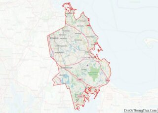
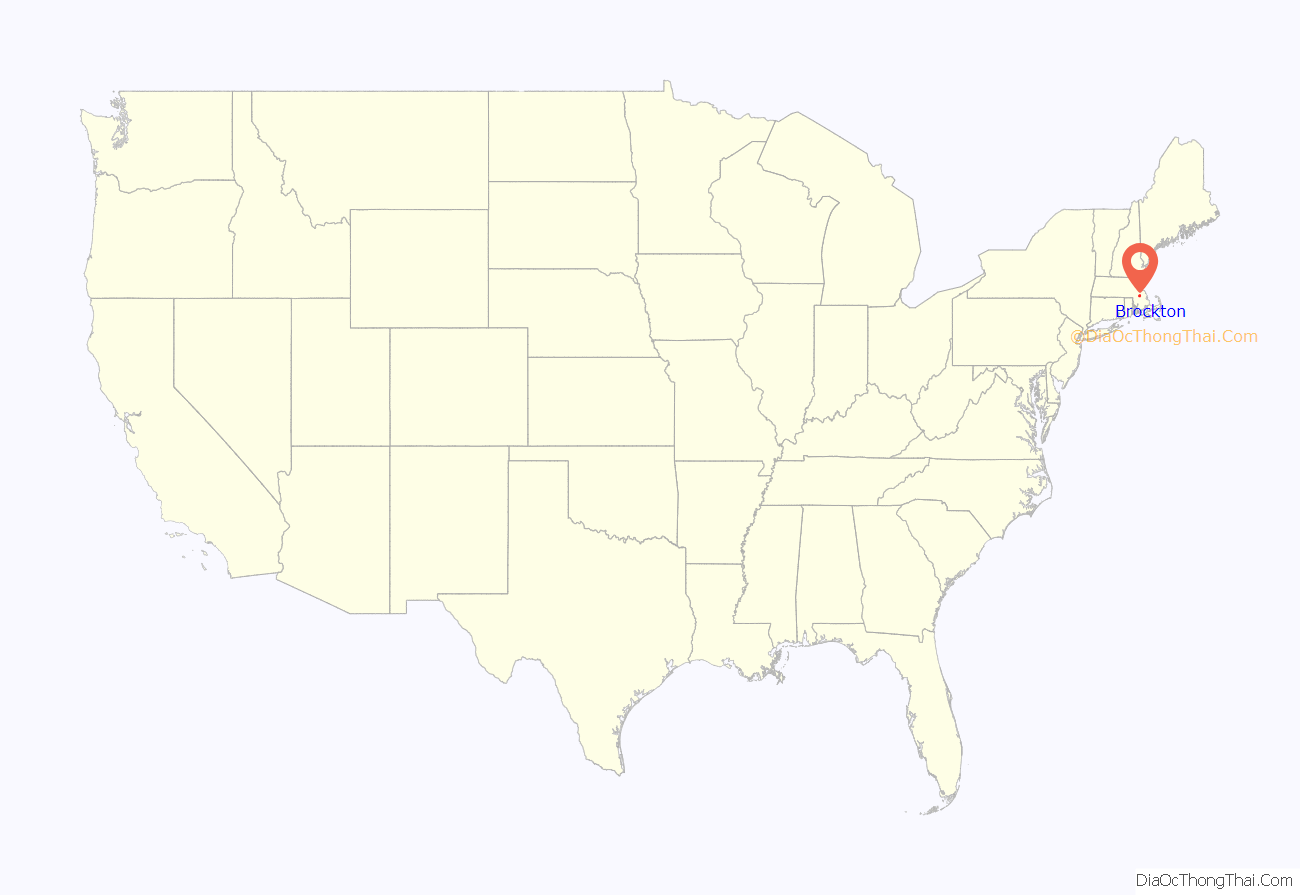
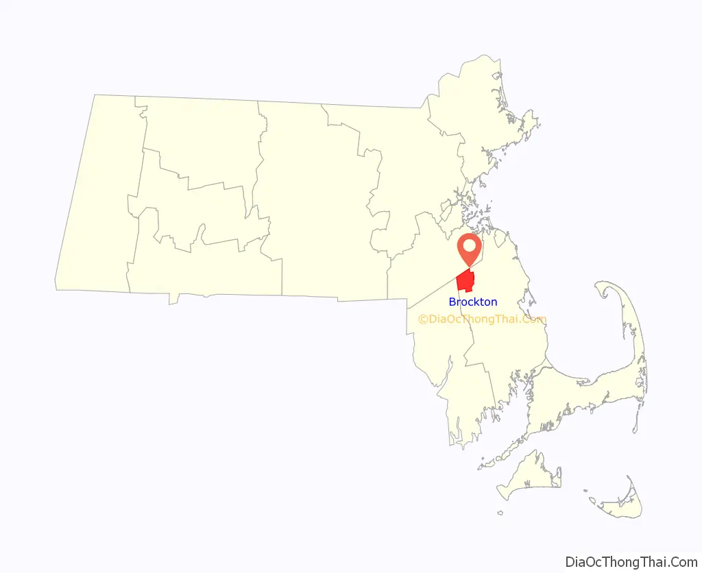
Brockton location map. Where is Brockton city?
History
In 1649, Ousamequin (Massasoit) sold the surrounding Wampanoag land—then known as Saughtucket—to Myles Standish as an addition to Duxbury. Brockton was part of this area, which the English renamed Bridgewater. On June 15, 1821, a portion of the then Bridgewater Township was established as North Bridgewater. Brockton is named after Isaac Brock. He was the British commanding general at Queenston Heights—the first major battle of the War of 1812—where invading American troops retreated in defeat. Because Brock was a loyalist, naming the town after him was a subject of contention among its colonial residents. Ultimately, it was given the name Brockton in 1874, and officially became a city on April 9, 1881.
Brockton was a stop on the Underground Railroad, a network of secret routes and safe houses that helped enslaved people escape to freedom in the North and Canada. Famous abolitionist Frederick Douglass, spoke to a crowd at the Liberty Tree in Brockton during the pre-Civil War period. During the American Civil War, Brockton was America’s largest producer of shoes, and until the latter parts of the 20th century, Brockton had a large shoe and leather products industry.
Since the company’s 1898 founding, Brockton has been the headquarters city of office supplies retailer W.B. Mason, itself founded to provide those supplies to the city’s shoe industry. The city’s economy was once based on the shoe industry, but it has since diversified to include other industries such as healthcare, education, and manufacturing. Brockton has faced a number of challenges, including poverty, crime, and regional and local racial segregation. Despite these challenges, the city has made progress in recent years, particularly in the development of its downtown area, by highlighting its diversity and rich history, and working toward a more welcoming atmosphere for businesses and residents.
Brockton station on a 1906 postcard
Oldest house in 1910
Main Street c. 1910
Shoe factory in 1910
Historical firsts
- On October 1, 1883, Brockton became the first place in the world to have a three-wire underground electrical system when Thomas Edison threw a switch to activate it.
- The City Theater opened on October 24, 1894, the first theater in the world to be tied into the three-wire electrical system.
- On December 30, 1884, the first electrically operated fire station in the United States opened in Brockton.
- The department store Santa Claus appeared in Brockton in December 1890, when James Edgar, of Edgar’s Department Store, suited up for the first time.
- Brockton became the first city in the country to abolish grade crossings in 1896.
- In 2020, Brockton became the first city in New England with a majority-Black population. Brockton’s new majority-Black population is expected to have a positive impact on the city’s culture, economy, and politics.
- On November 23, 2010, Brockton set the world record for the most Santa Hat wearers in one place at one time with 872 people participating in the event.
- On November 20, 2011, Brockton doubled the city’s Santa Claus hat-wearing record with 1792 people in downtown Brockton wearing Santa hats.
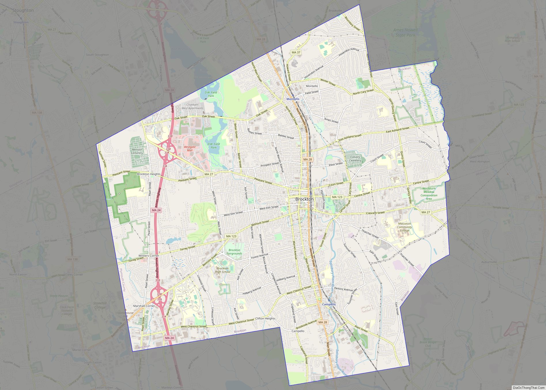
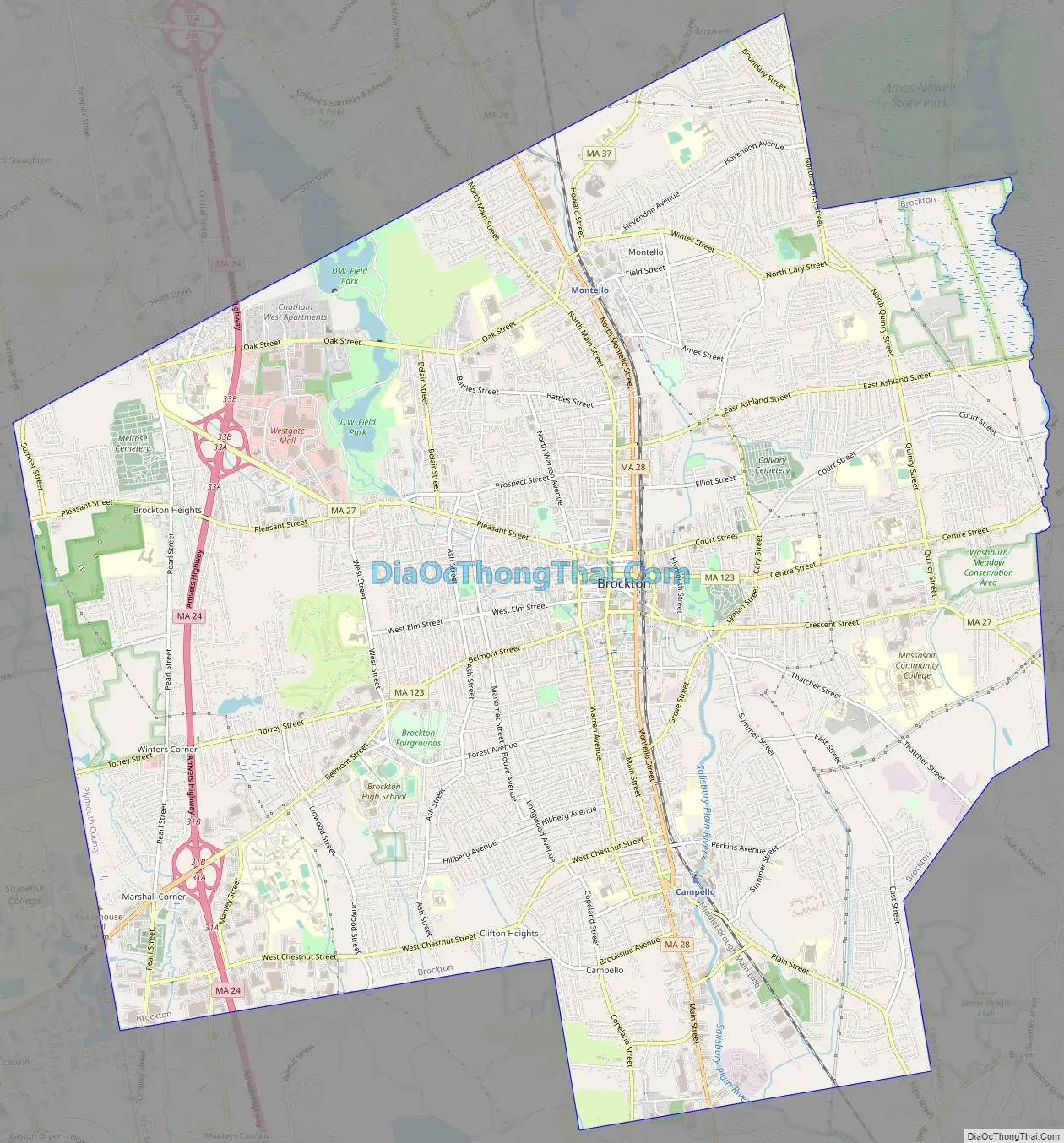
Brockton Road Map
Brockton city Satellite Map

Geography
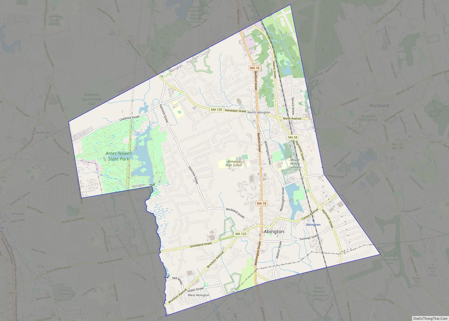
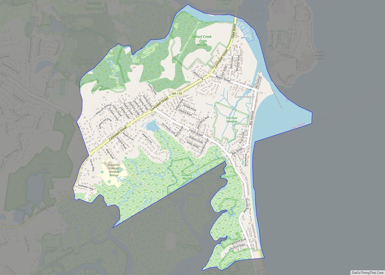
According to the United States Census Bureau, the city has a total area of 21.6 square miles (56 km), of which 21.5 square miles (56 km) is land and 0.1 square miles (0.26 km) (0.56%) is water. Brockton is the 162nd largest city by land area in the Commonwealth, and the twelfth largest of the twenty-seven towns in Plymouth County. Brockton is bordered by Stoughton to the northwest, Avon to the north, Holbrook to the northeast, Abington to the northeast, Whitman and East Bridgewater to the southeast, West Bridgewater to the south, and Easton to the west. Brockton is approximately 25 miles south of Boston, and 30 miles northeast of Providence, Rhode Island.
Brockton is mostly an urban setting, lying along the Salisbury Plain River, which once powered the many shoe factories of the city. To the northeast lies the Beaver Brook Conservation Land, attached to the southern end of the Ames Nowell State Park in Abington. There are several parks throughout the city, but the largest is D.W. Field Park, an Olmsted-inspired park which includes ponds, Waldo Lake and Brockton Reservoir in Avon, as well as a golf course.
Climate
According to the Köppen climate classification, Brockton has either a hot-summer humid continental climate (abbreviated Dfa), or a hot-summer humid sub-tropical climate (abbreviated Cfa), depending on the isotherm used.
See also
Map of Massachusetts State and its subdivision: Map of other states:- Alabama
- Alaska
- Arizona
- Arkansas
- California
- Colorado
- Connecticut
- Delaware
- District of Columbia
- Florida
- Georgia
- Hawaii
- Idaho
- Illinois
- Indiana
- Iowa
- Kansas
- Kentucky
- Louisiana
- Maine
- Maryland
- Massachusetts
- Michigan
- Minnesota
- Mississippi
- Missouri
- Montana
- Nebraska
- Nevada
- New Hampshire
- New Jersey
- New Mexico
- New York
- North Carolina
- North Dakota
- Ohio
- Oklahoma
- Oregon
- Pennsylvania
- Rhode Island
- South Carolina
- South Dakota
- Tennessee
- Texas
- Utah
- Vermont
- Virginia
- Washington
- West Virginia
- Wisconsin
- Wyoming