Chelsea, formerly known as Winnisimmet by the Naumkeag tribe, is a city in Suffolk County, Massachusetts, United States, directly across the Mystic River from Boston. At the 2020 census, Chelsea had a population of 40,787. With a total area of just 2.46 square miles, Chelsea is the smallest city in Massachusetts in terms of total ... Read more
Massachusetts Cities and Places
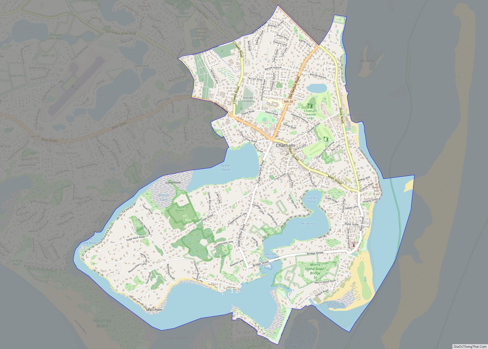
Chatham is a census-designated place (CDP) in the town of Chatham in Barnstable County, Massachusetts, United States. The population was 1,421 at the 2010 census, out of 6,125 in the entire town of Chatham. Chatham CDP overview: Name: Chatham CDP LSAD Code: 57 LSAD Description: CDP (suffix) State: Massachusetts County: Barnstable County Elevation: 13 ft (4 m) ... Read more
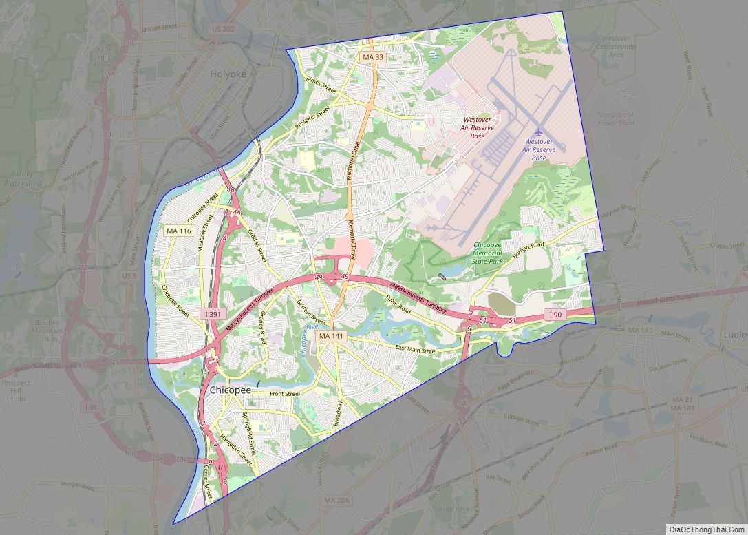
Chicopee (/ˈtʃɪkəpi/ CHIK-ə-pee) is a city located on the Connecticut River in Hampden County, Massachusetts, United States. At the 2020 census, the city had a population of 55,560, making it the second-largest city in Western Massachusetts after Springfield. Chicopee is part of the Springfield, Massachusetts Metropolitan Statistical Area. The communities of Chicopee Center (Cabotville), Chicopee ... Read more
Chester is a census-designated place that comprises the populated center of the town of Chester in Hampden County, Massachusetts, United States. The population of the CDP was 627 at the 2010 census, out of 1,337 in the entire town of Chester. It is part of the Springfield, Massachusetts Metropolitan Statistical Area. Chester CDP overview: Name: ... Read more
Clinton is a census-designated place (CDP) in the town of Clinton in Worcester County, Massachusetts, United States. The population was 7,389 at the 2010 census. Clinton CDP overview: Name: Clinton CDP LSAD Code: 57 LSAD Description: CDP (suffix) State: Massachusetts County: Worcester County Elevation: 367 ft (112 m) Total Area: 1.50 sq mi (3.87 km²) Land Area: 1.49 sq mi (3.87 km²) Water ... Read more
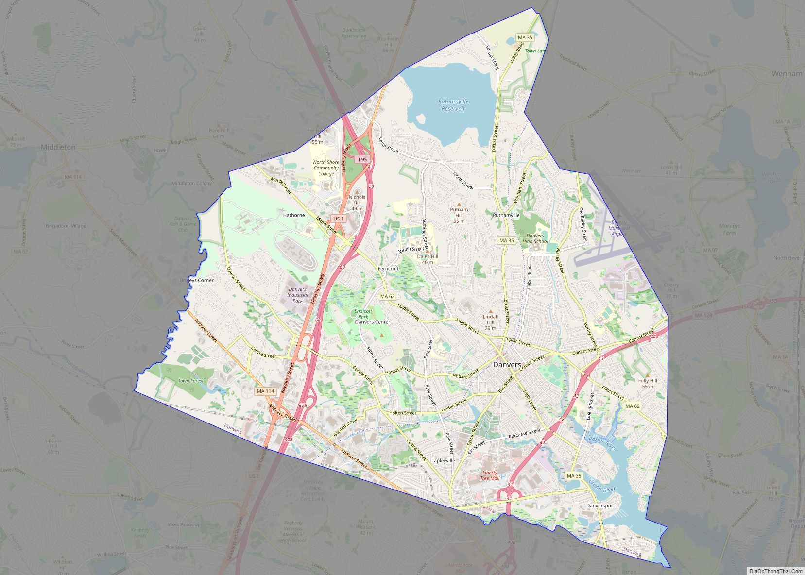
Danvers is a town in Essex County, Massachusetts, United States, located on the Danvers River near the northeastern coast of Massachusetts. The suburb is a fairly short ride from Boston and is also in close proximity to the beaches of Gloucester and Revere. Originally known as Salem Village, the town is most widely known for ... Read more
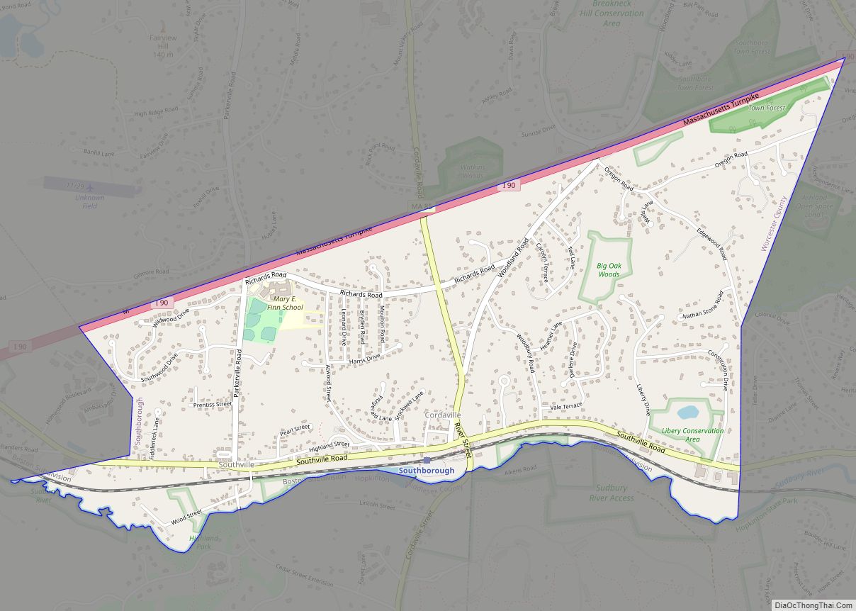
Cordaville is a census-designated place (CDP) in the town of Southborough in Worcester County, Massachusetts, United States. The population was 2,650 at the 2010 census. Cordaville CDP overview: Name: Cordaville CDP LSAD Code: 57 LSAD Description: CDP (suffix) State: Massachusetts County: Worcester County Elevation: 249 ft (76 m) Total Area: 1.82 sq mi (4.71 km²) Land Area: 1.82 sq mi (4.70 km²) Water ... Read more
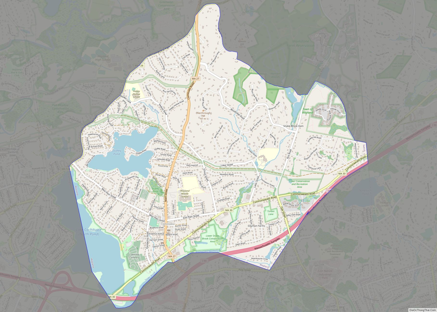
Cochituate (/koʊˈtʃɪtʃuɪt/; koh-CHIT-choo-it) is a census-designated place (CDP) in the town of Wayland in Middlesex County, Massachusetts, United States. The population was 6,569 at the 2010 census. Cochituate CDP overview: Name: Cochituate CDP LSAD Code: 57 LSAD Description: CDP (suffix) State: Massachusetts County: Middlesex County Elevation: 174 ft (53 m) Total Area: 4.17 sq mi (10.79 km²) Land Area: 3.81 sq mi ... Read more
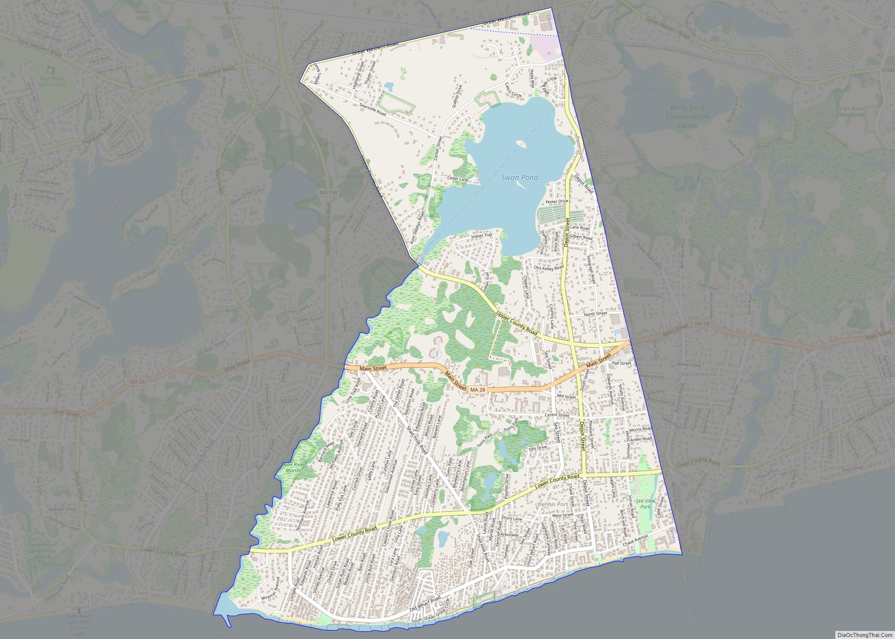
Dennis Port (or Dennisport) is a census-designated place (CDP) in the town of Dennis in Barnstable County, Cape Cod, Massachusetts. At the 2010 census, its population was 3,162. The Swan Pond River and Upper County Road demarcate Dennis Port’s western border with West Dennis. The village of West Harwich lies directly to Dennis Port’s east, ... Read more
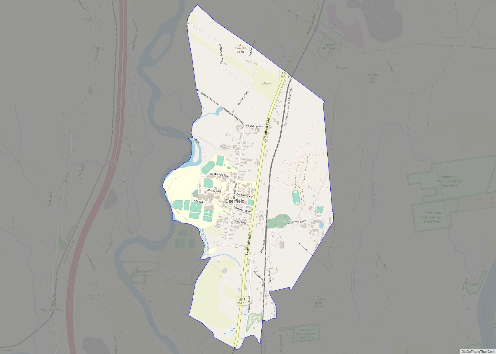
Deerfield is a census-designated place (CDP) in the town of Deerfield in Franklin County, Massachusetts, United States. The population was 643 at the 2010 census. It corresponds roughly to the area of Historic Deerfield, a historic district comprising the original town center of Deerfield. It is the home of Deerfield Academy, a college-preparatory school. Deerfield ... Read more
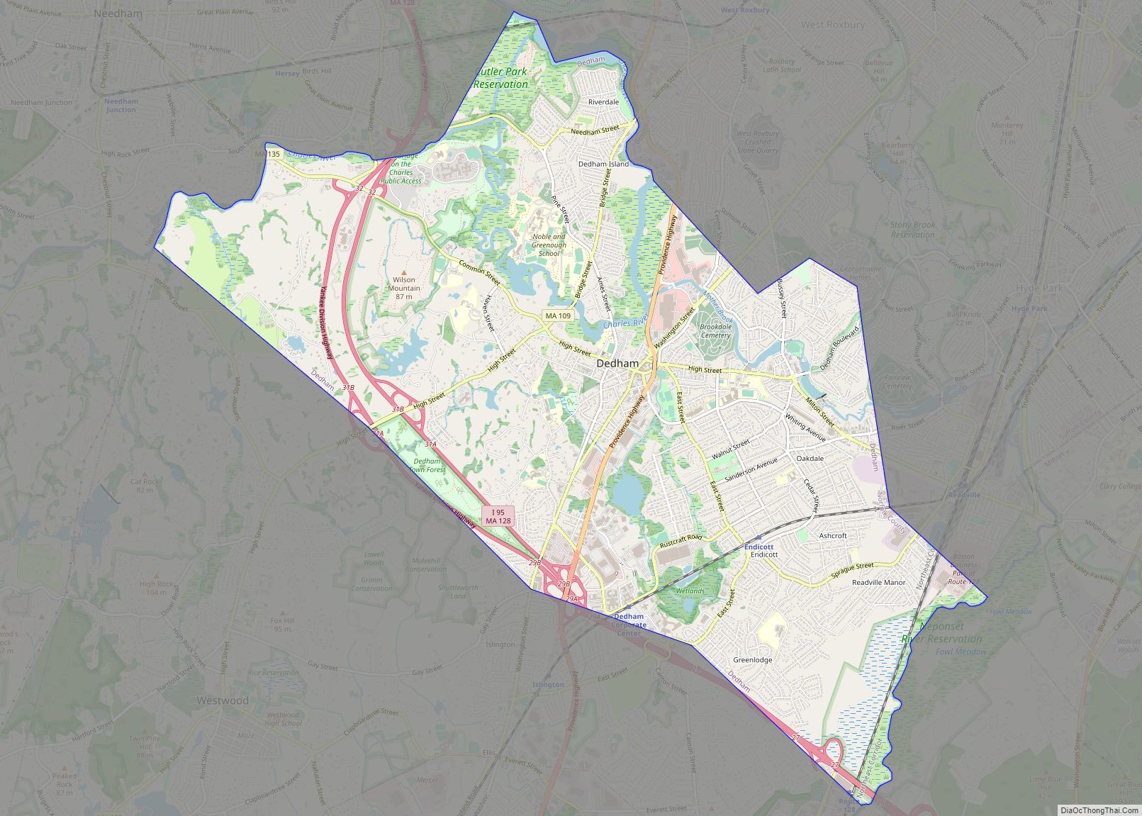
Dedham (/ˈdɛdəm/ DED-əm) is a town in and the county seat of Norfolk County, Massachusetts. The population was 25,364 at the 2020 census. It is located on Boston‘s southwest border. On the northwest it is bordered by Needham, on the southwest by Westwood, and on the southeast by Canton. The town was first settled by ... Read more
Dover is a census-designated place (CDP) in the town of Dover in Norfolk County, Massachusetts, United States. The population was 2,265 at the 2010 census. Dover CDP overview: Name: Dover CDP LSAD Code: 57 LSAD Description: CDP (suffix) State: Massachusetts County: Norfolk County Elevation: 174 ft (53 m) Total Area: 4.35 sq mi (11.28 km²) Land Area: 4.24 sq mi (10.98 km²) Water ... Read more

