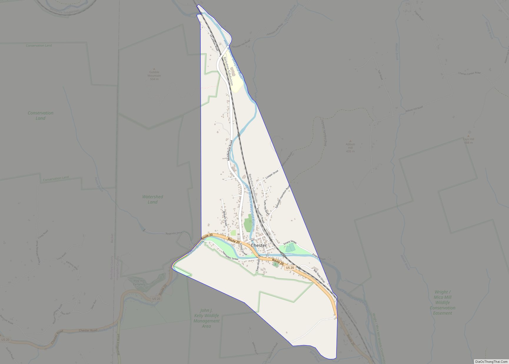
Chester is a census-designated place that comprises the populated center of the town of Chester in Hampden County, Massachusetts, United States. The population of the CDP was 627 at the 2010 census, out of 1,337 in the entire town of Chester. It is part of the Springfield, Massachusetts Metropolitan Statistical Area.
| Name: | Chester CDP |
|---|---|
| LSAD Code: | 57 |
| LSAD Description: | CDP (suffix) |
| State: | Massachusetts |
| County: | Hampden County |
| Elevation: | 601.4 ft (183.3 m) |
| Total Area: | 1.43 sq mi (3.70 km²) |
| Land Area: | 1.40 sq mi (3.61 km²) |
| Water Area: | 0.03 sq mi (0.08 km²) |
| Total Population: | 552 |
| Population Density: | 395.70/sq mi (152.81/km²) |
| ZIP code: | 01011 |
| Area code: | 413 |
| FIPS code: | 2513450 |
| GNISfeature ID: | 0608286 |
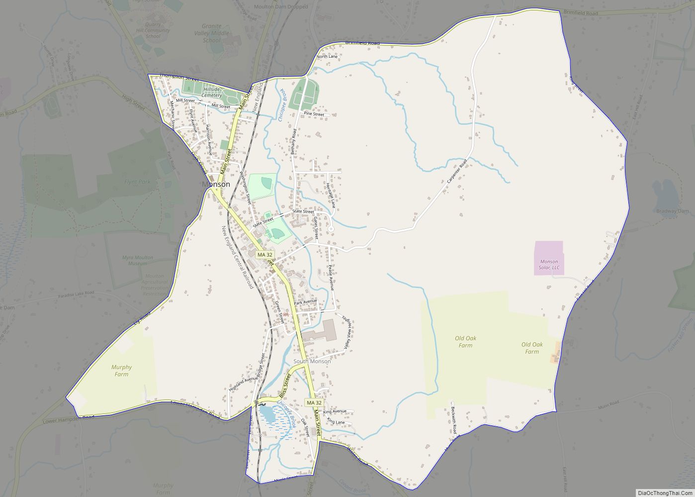
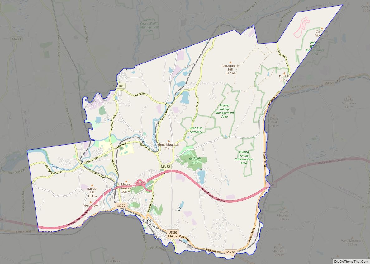
Online Interactive Map
Click on ![]() to view map in "full screen" mode.
to view map in "full screen" mode.
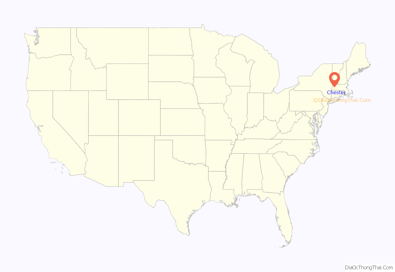
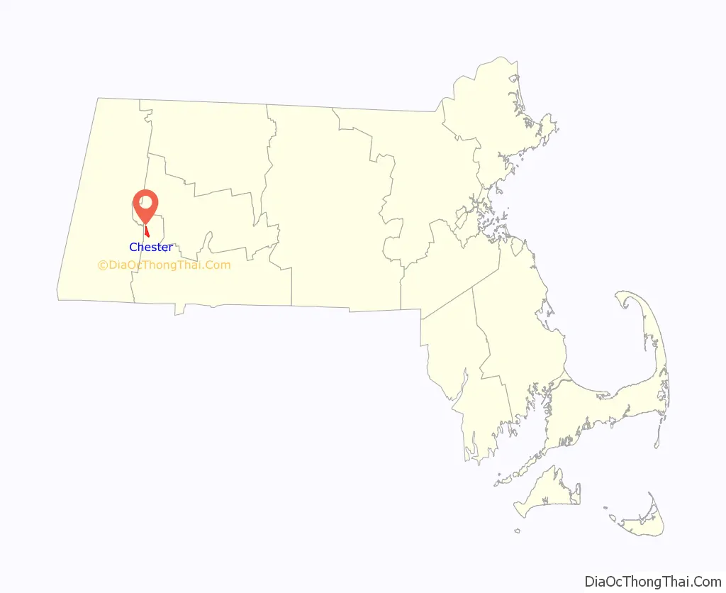
Chester location map. Where is Chester CDP?
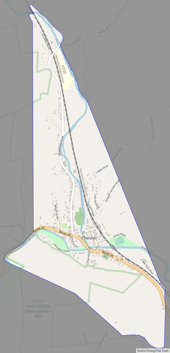
Chester Road Map
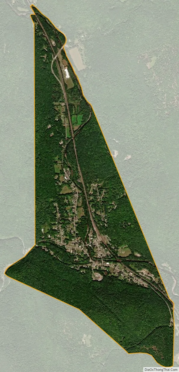
Chester city Satellite Map
Geography
The Chester CDP is in the western part of the town of Chester, along U.S. Route 20 (Main Street) in the valley of the West Branch of the Westfield River where it is joined by Walker Brook. US 20 leads southeast down the Westfield River valley 18 miles (29 km) to Westfield and 29 miles (47 km) to Springfield, while to the west, US 20 turns up the Walker Brook valley and leads across the height of land of the Berkshires 17 miles (27 km) to Lee.
According to the United States Census Bureau, the Chester CDP has a total area of 1.4 square miles (3.7 km), of which 0.03 square miles (0.08 km), or 2.27%, are water.
See also
Map of Massachusetts State and its subdivision: Map of other states:- Alabama
- Alaska
- Arizona
- Arkansas
- California
- Colorado
- Connecticut
- Delaware
- District of Columbia
- Florida
- Georgia
- Hawaii
- Idaho
- Illinois
- Indiana
- Iowa
- Kansas
- Kentucky
- Louisiana
- Maine
- Maryland
- Massachusetts
- Michigan
- Minnesota
- Mississippi
- Missouri
- Montana
- Nebraska
- Nevada
- New Hampshire
- New Jersey
- New Mexico
- New York
- North Carolina
- North Dakota
- Ohio
- Oklahoma
- Oregon
- Pennsylvania
- Rhode Island
- South Carolina
- South Dakota
- Tennessee
- Texas
- Utah
- Vermont
- Virginia
- Washington
- West Virginia
- Wisconsin
- Wyoming