Map of Bay Shore CDP

Map of Bay Shore CDP, Michigan

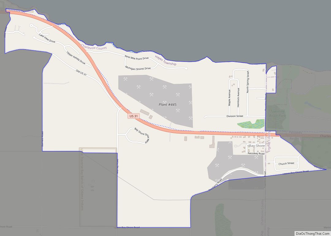
Bay Shore is an unincorporated community and census-designated place (CDP) located on the boundary between Charlevoix County and Emmet County in the U.S. state of Michigan. The population of the CDP was 657 at the 2020 census. Bay Shore is located along Little Traverse Bay on Lake Michigan just west of the city of Petoskey. … Read more

Map of Bay Port CDP

Map of Bay Port CDP

Bay Port is an unincorporated community and census-designated place (CDP) in Huron County in the U.S. state of Michigan. The population was 477 at the 2010 census. As an unincorporated community, Bay Port has no legal autonomy of its own but does have its own post office with the 48720 ZIP Code. Bay Port CDP … Read more

Map of Bay City city

Map of Bay City, Michigan

Bay City is a city and county seat of Bay County in the U.S. state of Michigan, located near the base of the Saginaw Bay on Lake Huron. As of the 2020 census, the city’s population was 32,661, and it is the principal city of the Bay City Metropolitan Statistical Area, which is included in … Read more

Map of Battle Creek city, Michigan

Map of Battle Creek city, Michigan

Battle Creek is a city in the U.S. state of Michigan, in northwest Calhoun County, at the confluence of the Kalamazoo and Battle Creek rivers. It is the principal city of the Battle Creek, Michigan Metropolitan Statistical Area (MSA), which encompasses all of Calhoun County. As of the 2020 census, the city had a total … Read more

Map of Bath CDP, Michigan

Map of Bath CDP, Michigan

Bath is an unincorporated community and census-designated place (CDP) in Clinton County in the U.S. state of Michigan. It is located in Bath Charter Township. As of the 2010 census, the CDP had a population of 2,083. Bath CDP overview: Name: Bath CDP LSAD Code: 57 LSAD Description: CDP (suffix) State: Michigan County: Clinton County … Read more

Map of Beecher CDP, Michigan

Map of Beecher CDP, Michigan

Beecher (or also, Beecher Metropolitan District) is a census-designated place (CDP) in Genesee County in the U.S. state of Michigan. It was first listed as a CDP in 2000. Per the 2020 census, the population was 8,840. The CDP area is situated on the east side of Mount Morris Township where Interstate 475 turns westward … Read more

Map of Beaverton city, Michigan

Map of Beaverton city, Michigan

Beaverton is a city in Gladwin County in the U.S. state of Michigan. The population was 1,071 at the 2010 census. The city is bordered by Beaverton Township on the west, but the two are administered autonomously. Beaverton city overview: Name: Beaverton city LSAD Code: 25 LSAD Description: city (suffix) State: Michigan County: Gladwin County … Read more

Map of Bear Lake CDP

Map of Bear Lake CDP, Michigan

Bear Lake is an unincorporated community and census-designated place (CDP) in Kalkaska County in the U.S. state of Michigan. At the 2010 census, the CDP had a population of 327. Bear Lake is located within Bear Lake Township. Bear Lake CDP overview: Name: Bear Lake CDP LSAD Code: 57 LSAD Description: CDP (suffix) State: Michigan … Read more

Map of Beal City CDP

Map of Beal City CDP

Beal City is an unincorporated community in Isabella County in the U.S. state of Michigan. It is a census-designated place (CDP) for statistical purposes, although Beal City is not an incorporated municipality and holds no legal autonomy. The population was 357 at the 2010 census. It is in Nottawa Township within the Isabella Indian Reservation … Read more

Map of Bay View CDP

Map of Bay View CDP, Michigan

The Bay View Association of the United Methodist Church, known as Bay View, is an example of two uniquely American community forms: the Methodist camp meeting and the independent Chautauqua. Designed for the first purpose in 1876 as the county’s only romantically-planned campground, and adapted for the second from 1885 to 1915, Bay View constitutes … Read more

Map of Bellevue village, Michigan

Map of Bellevue village, Michigan

Bellevue is a village in Eaton County in the U.S. state of Michigan. The population was 1,282 at the 2010 census. The village is located within Bellevue Township. Bellevue village overview: Name: Bellevue village LSAD Code: 47 LSAD Description: village (suffix) State: Michigan County: Eaton County Elevation: 863 ft (263 m) Total Area: 1.09 sq mi (2.83 km²) Land Area: … Read more

Map of Belleville city, Michigan

Map of Belleville city, Michigan

Belleville is a city in Wayne County in the U.S. state Michigan. The population was 3,991 at the 2010 census. As a western suburb of Metro Detroit, Belleville is 18 miles (29 km) southeast of Ann Arbor and 20 miles (32 km) southwest of Detroit. Belleville is located just south of Interstate 94 and is surrounded by … Read more