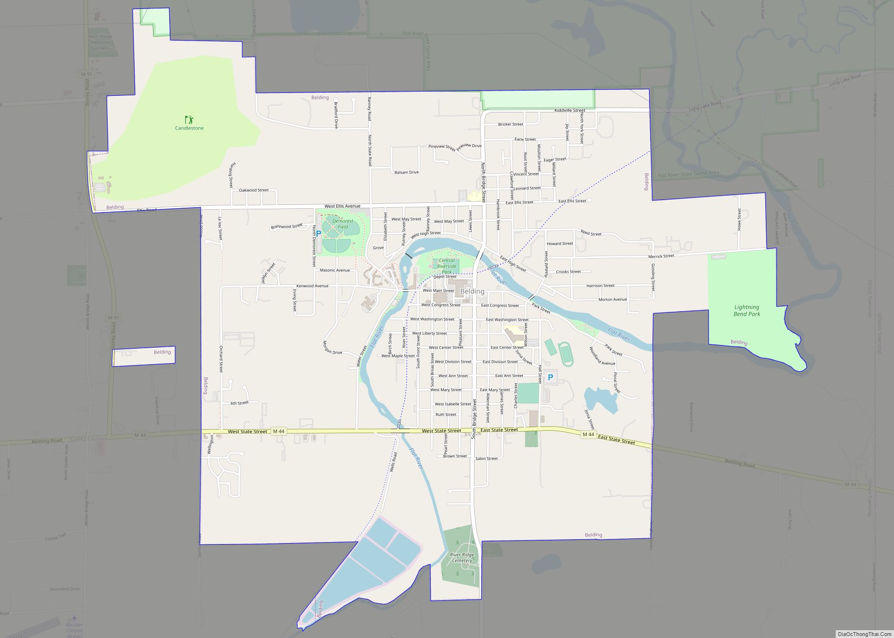
Belding is a city in Ionia County in the U.S. state of Michigan, completely surrounded by Otisco Township, Michigan. The population was 5,757 at the 2010 census.
| Name: | Belding city |
|---|---|
| LSAD Code: | 25 |
| LSAD Description: | city (suffix) |
| State: | Michigan |
| County: | Ionia County |
| Elevation: | 771 ft (235 m) |
| Total Area: | 4.91 sq mi (12.71 km²) |
| Land Area: | 4.72 sq mi (12.23 km²) |
| Water Area: | 0.18 sq mi (0.47 km²) |
| Total Population: | 5,938 |
| Population Density: | 1,256.99/sq mi (485.36/km²) |
| ZIP code: | 48809, 48887 |
| Area code: | 616 |
| FIPS code: | 2606900 |
| GNISfeature ID: | 1625907 |
| Website: | www.ci.belding.mi.us |
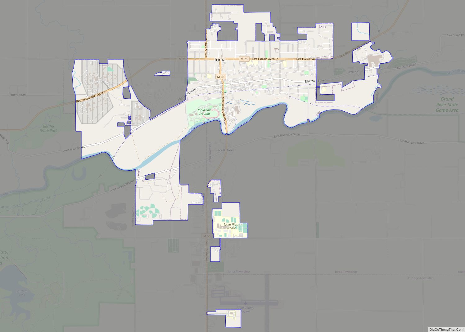
Online Interactive Map
Click on ![]() to view map in "full screen" mode.
to view map in "full screen" mode.
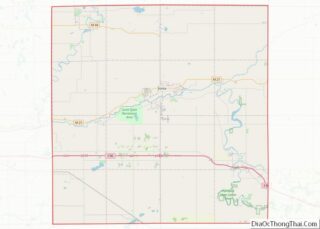
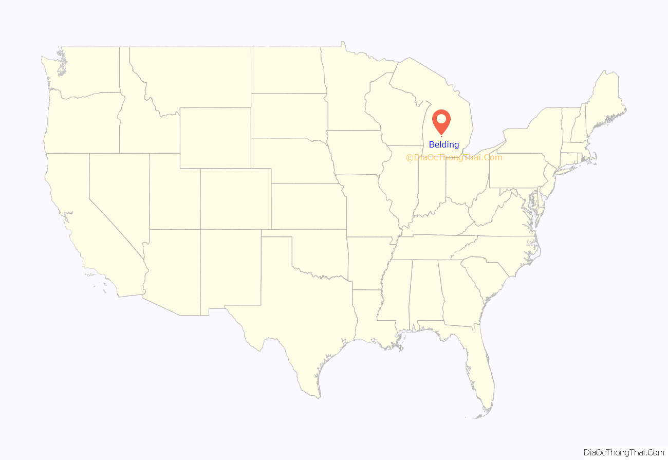
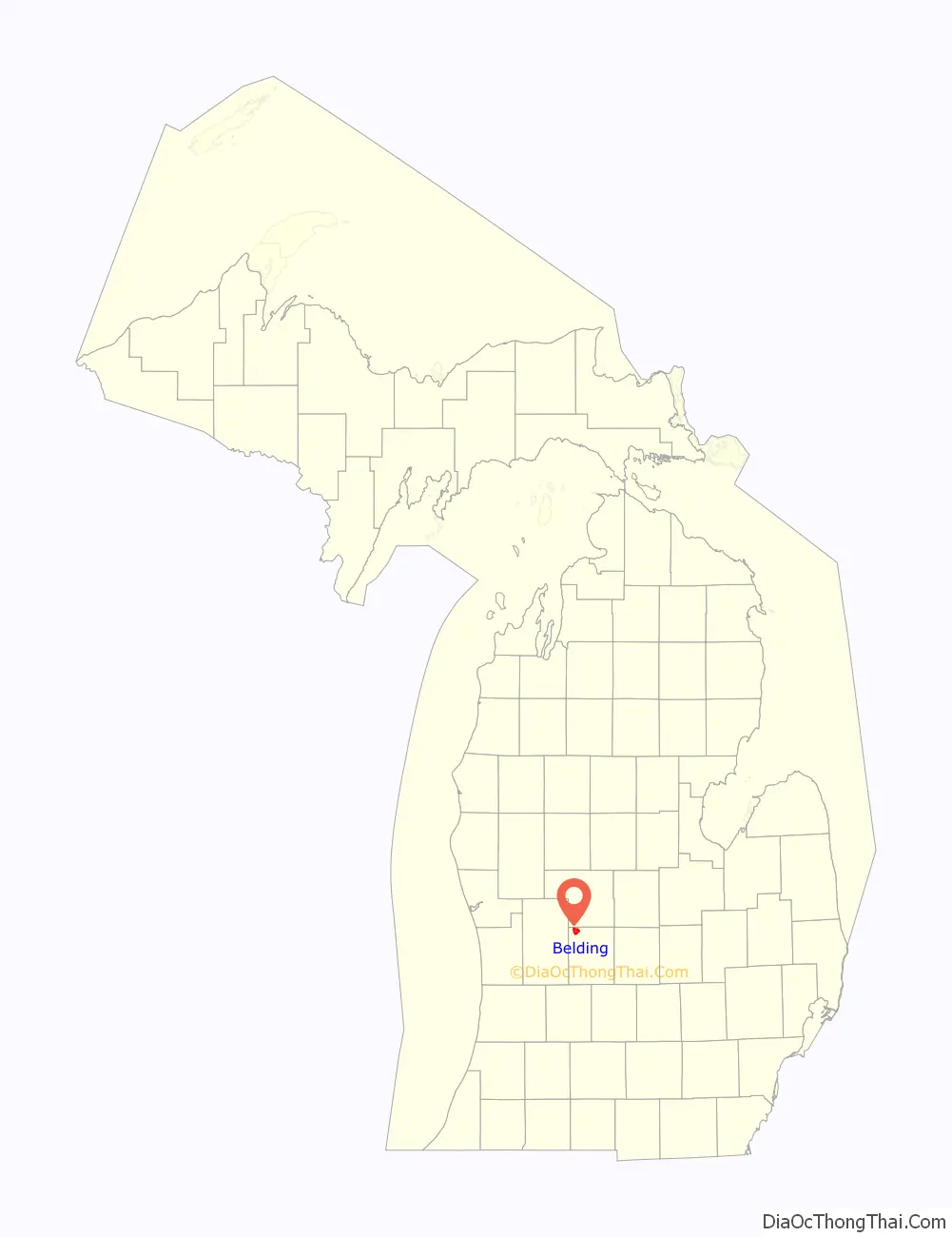
Belding location map. Where is Belding city?
History
In 1838, six years before John Green came to the area that later would bear his name, Levi Broas, Belding’s first settler, arrived in the area. The community first was known as Broas Rapids, later Patterson Mills and even, during logging days, as Hog Wallow. The name Belding was chosen in 1871 to honor the Belding family.
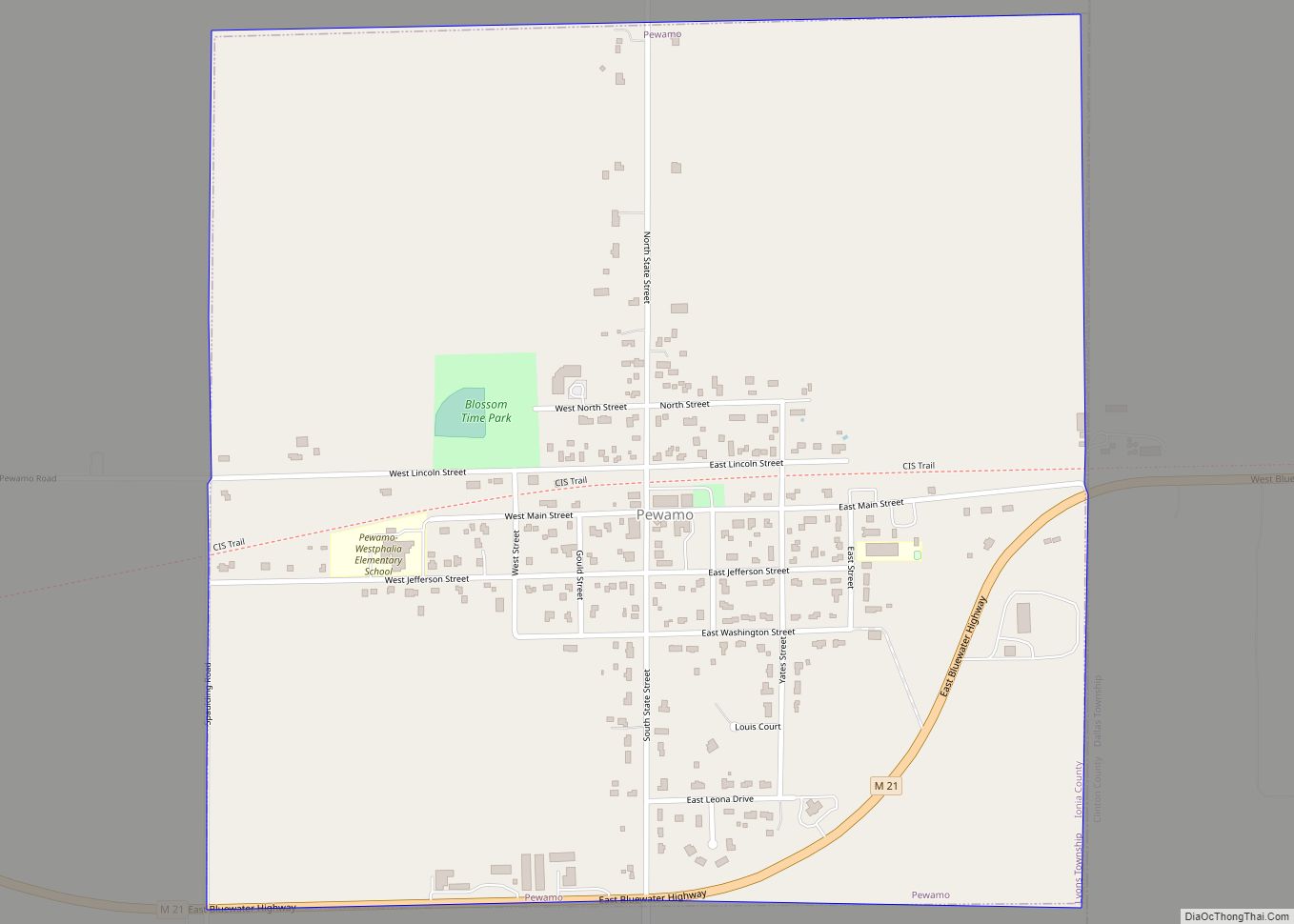
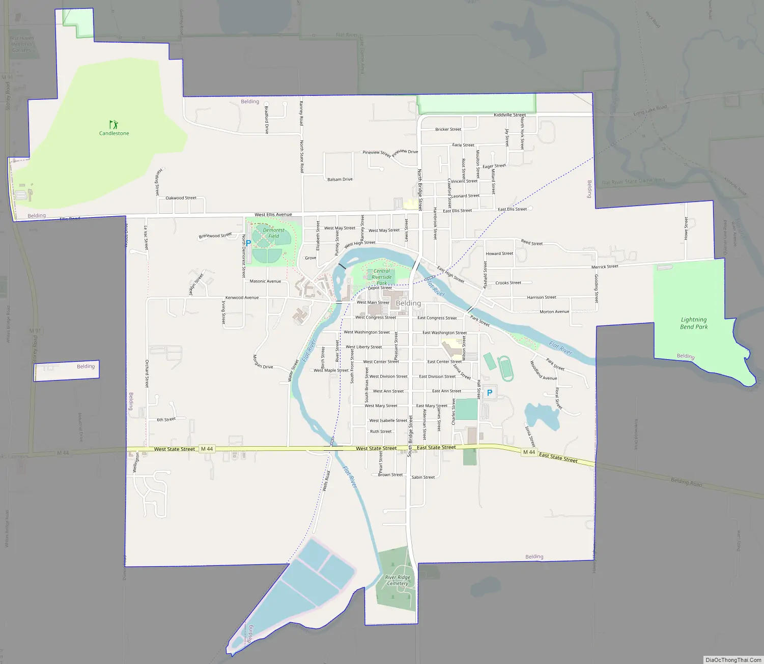
Belding Road Map
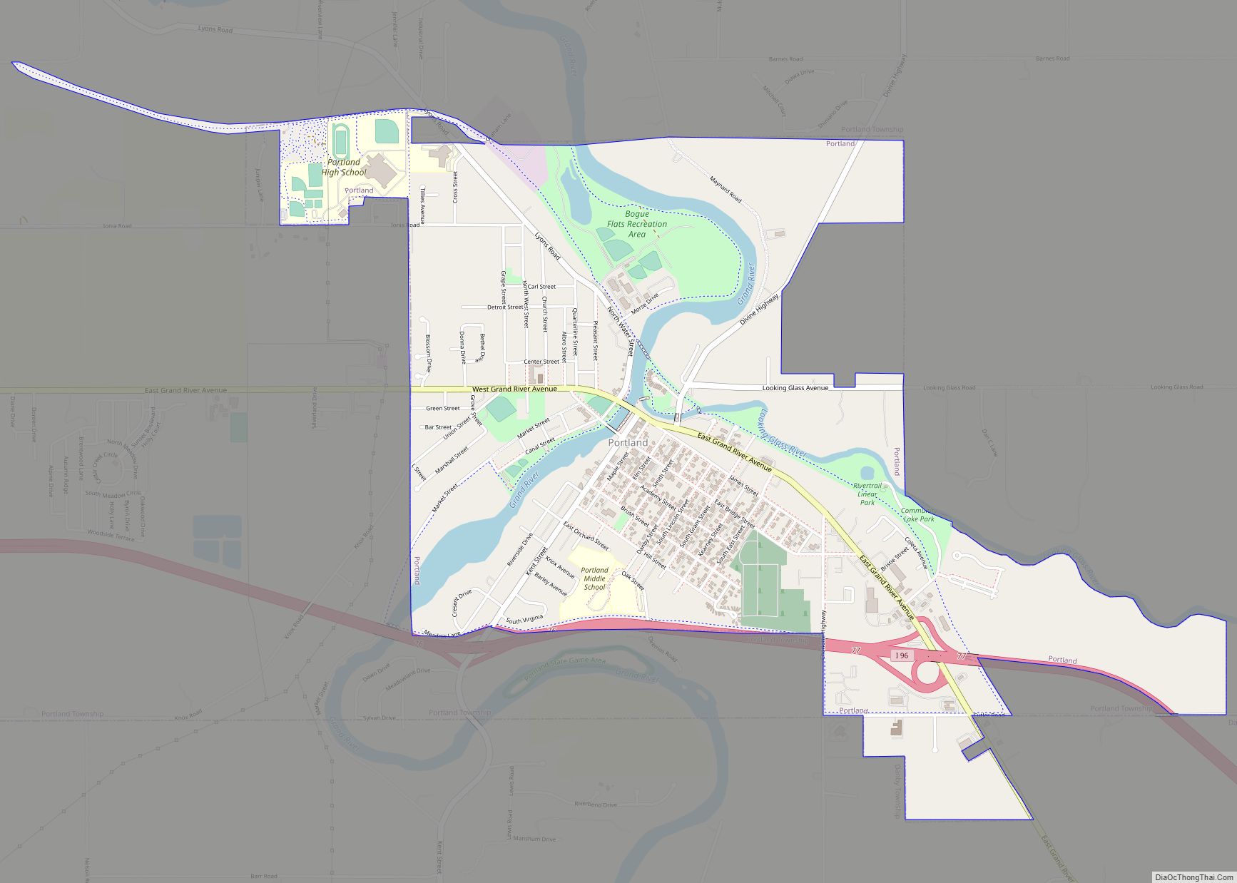
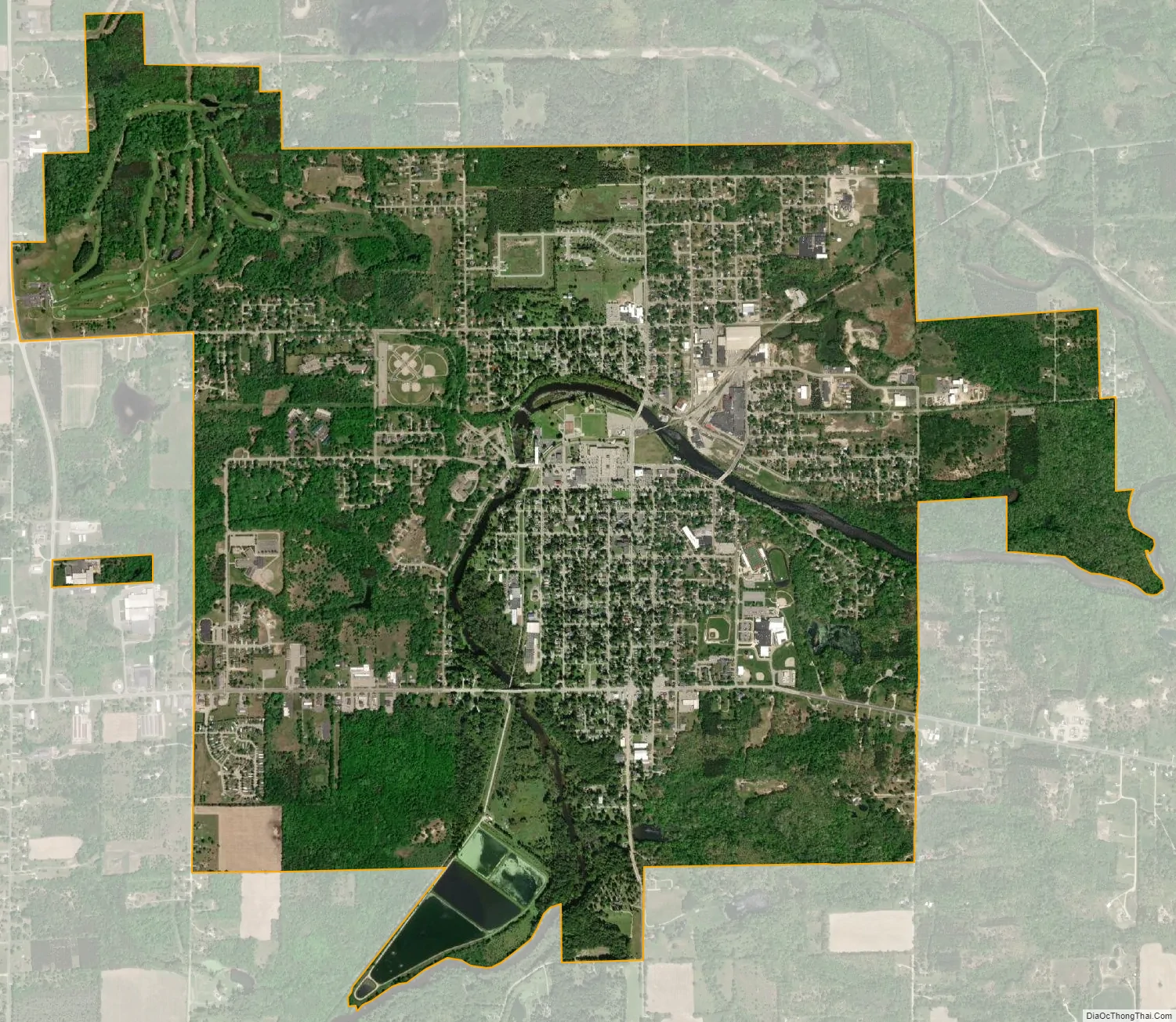
Belding city Satellite Map
Geography
According to the United States Census Bureau, the city has a total area of 4.90 square miles (12.69 km), of which, 4.72 square miles (12.22 km) of it is land and 0.18 square miles (0.47 km) is water.
See also
Map of Michigan State and its subdivision:- Alcona
- Alger
- Allegan
- Alpena
- Antrim
- Arenac
- Baraga
- Barry
- Bay
- Benzie
- Berrien
- Branch
- Calhoun
- Cass
- Charlevoix
- Cheboygan
- Chippewa
- Clare
- Clinton
- Crawford
- Delta
- Dickinson
- Eaton
- Emmet
- Genesee
- Gladwin
- Gogebic
- Grand Traverse
- Gratiot
- Hillsdale
- Houghton
- Huron
- Ingham
- Ionia
- Iosco
- Iron
- Isabella
- Jackson
- Kalamazoo
- Kalkaska
- Kent
- Keweenaw
- Lake
- Lake Hurron
- Lake Michigan
- Lake St. Clair
- Lake Superior
- Lapeer
- Leelanau
- Lenawee
- Livingston
- Luce
- Mackinac
- Macomb
- Manistee
- Marquette
- Mason
- Mecosta
- Menominee
- Midland
- Missaukee
- Monroe
- Montcalm
- Montmorency
- Muskegon
- Newaygo
- Oakland
- Oceana
- Ogemaw
- Ontonagon
- Osceola
- Oscoda
- Otsego
- Ottawa
- Presque Isle
- Roscommon
- Saginaw
- Saint Clair
- Saint Joseph
- Sanilac
- Schoolcraft
- Shiawassee
- Tuscola
- Van Buren
- Washtenaw
- Wayne
- Wexford
- Alabama
- Alaska
- Arizona
- Arkansas
- California
- Colorado
- Connecticut
- Delaware
- District of Columbia
- Florida
- Georgia
- Hawaii
- Idaho
- Illinois
- Indiana
- Iowa
- Kansas
- Kentucky
- Louisiana
- Maine
- Maryland
- Massachusetts
- Michigan
- Minnesota
- Mississippi
- Missouri
- Montana
- Nebraska
- Nevada
- New Hampshire
- New Jersey
- New Mexico
- New York
- North Carolina
- North Dakota
- Ohio
- Oklahoma
- Oregon
- Pennsylvania
- Rhode Island
- South Carolina
- South Dakota
- Tennessee
- Texas
- Utah
- Vermont
- Virginia
- Washington
- West Virginia
- Wisconsin
- Wyoming