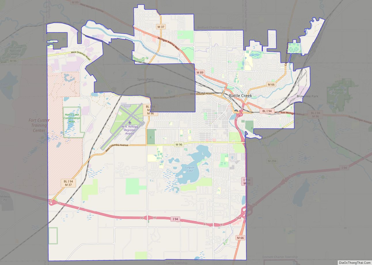
Battle Creek is a city in the U.S. state of Michigan, in northwest Calhoun County, at the confluence of the Kalamazoo and Battle Creek rivers. It is the principal city of the Battle Creek, Michigan Metropolitan Statistical Area (MSA), which encompasses all of Calhoun County. As of the 2020 census, the city had a total population of 52,731. Nicknamed “Cereal City”, it is best known as the home of the Kellogg Company and the founding city of Post Consumer Brands.
| Name: | Battle Creek city |
|---|---|
| LSAD Code: | 25 |
| LSAD Description: | city (suffix) |
| State: | Michigan |
| County: | Calhoun County |
| Elevation: | 840 ft (256 m) |
| Total Area: | 43.74 sq mi (113.27 km²) |
| Land Area: | 42.59 sq mi (110.30 km²) |
| Water Area: | 1.15 sq mi (2.97 km²) |
| Total Population: | 52,721 |
| Population Density: | 1,237.96/sq mi (477.98/km²) |
| Area code: | 269 |
| FIPS code: | 2605920 |
| GNISfeature ID: | 0620755 |
| Website: | www.battlecreekmi.gov |
Online Interactive Map
Click on ![]() to view map in "full screen" mode.
to view map in "full screen" mode.
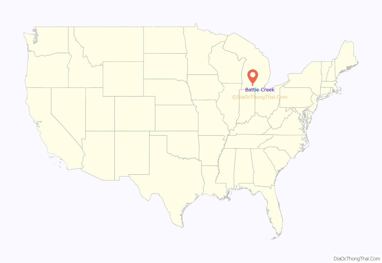
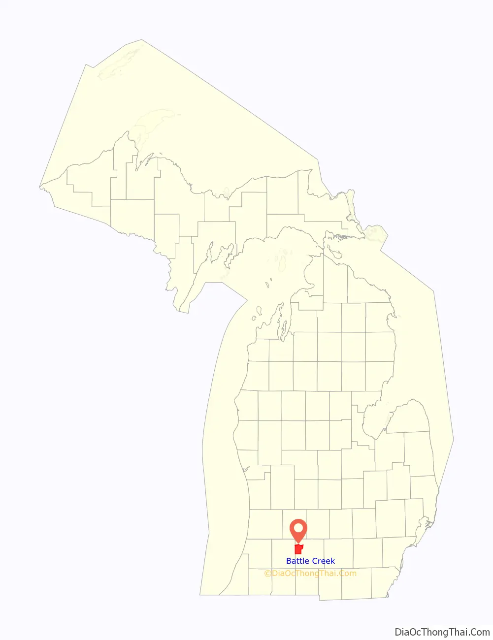
Battle Creek location map. Where is Battle Creek city?
History
In about 1774, the Potawatomi and the Ottawa Native American tribes formed a joint village near the future Battle Creek, Michigan. The first permanent European settlements in Battle Creek Township, after the removal of the Potawatomi to a reservation, began about 1831. Westward migration from New York and New England had increased to Michigan following the completion of the Erie Canal in New York in 1824. Most settlers chose to locate on the Goguac prairie, which was fertile and easily cultivated. A post office was opened in Battle Creek in 1832 under Postmaster Pollodore Hudson. The first school was taught in a small log house about 1833 or 1834. Asa Langley built the first sawmill in 1837. A brick manufacturing plant, called the oldest enterprise in the township, was established in 1840 by Simon Carr and operated until 1903. The township was established by act of the legislature in 1839.
In the antebellum era, the city was a major stop on the Underground Railroad, used by fugitive slaves to escape to freedom in Michigan and Canada. It was the chosen home of noted abolitionist Sojourner Truth after her escape from slavery.
Battle Creek figured prominently in the early history of the Seventh-day Adventist Church. It was the site of a Protestant church founding convention in 1863. The denomination’s first hospital, college, and publishing office would also be constructed in the city. When the hospital and publishing office burned down in 1902, the church elected to decentralize, and most of its institutions were relocated. The first Adventist church (rebuilt in the 1920s) is still in operation.
World Heavyweight Champion Jack Johnson was once arrested here for marrying his White wife and transporting her across state lines.
The city was noted for its focus on health reform during the late 1800s and early 1900s. The Battle Creek Sanitarium was founded by Dr. John Harvey Kellogg. In addition to some of his sometimes bizarre treatments that were featured in the movie The Road to Wellville, Kellogg also funded organizations that promoted eugenics theories at the core of their philosophical agenda, which was seen as a natural complement to euthenics. The Race Betterment Foundation was one of these organizations. He also supported the “separate but equal” philosophy and invited Booker T. Washington to speak at the Battle Creek Sanitarium in order to raise money. Washington was the author of the speech “The Atlanta Compromise”, which solidified his position of being an accommodationist while providing a mechanism for southern Whites (and their sympathizers), to fund his school (the Tuskegee Institute).
W. K. Kellogg had worked for his brother in a variety of capacities at the B.C. Sanitarium. Tired of living in the shadow of his brother John Harvey Kellogg, he struck out on his own, going to the boom-towns surrounding the oilfields in Oklahoma as a broom salesman. Having failed, he returned to work as an assistant to his brother. While working at the sanitariums’ laboratory, W.K. spilled liquefied cornmeal on a heating device that cooked the product and rendered it to flakes. He tasted the flakes and added milk to them. He was able to get his brother to allow him to give some of the product to some of the patients at the sanitarium, and the patients’ demand for the product exceeded his expectations to the point that W.K made the decision to leave the sanitarium. Along with some investors, he built a factory to satisfy the demand for his “corn flakes”.
It was during this time of going their separate ways for good that Dr. John Harvey Kellogg sued his brother for copyright infringement. The U.S. Supreme court ruled in W.K. Kellogg’s favor, due to the greater sales and public profile of W.K. Kellogg’s company.
Inspired by Kellogg’s innovation, C. W. Post invented Grape-Nuts and founded his own cereal company in the town. Battle Creek has been nicknamed “the Cereal City.”
In the turbulent 1960s, Battle Creek was not immune to the racial issues of the day. Dr. Martin Luther King spoke here, as did Sen. Hubert Humphrey, President L.B. Johnson, and Heavyweight Champion of the world Muhammad Ali. African Americans were subjected to “stop and frisk” procedures while walking, and housing covenants were in full force. No Blacks worked in the school systems, and only a few Blacks held mid-level manager posts in the local corporate sector. The Federal government sector was better at the Federal Center, and less so at the local Veterans’ Administration Hospital.
The Black Recondos, a group formed from the local young adult council of the NAACP, forced the local board of education to hire Black teachers and administrative personnel, under the threat of removing every black student from their public schools. They also forced the chief of police to allow Black Recondos to intervene in arrests and gave them the authority to take black law breakers into their custody instead of the local police. This caused the second strike of a police force in U.S. history. The officers were fired and the strike was ended.
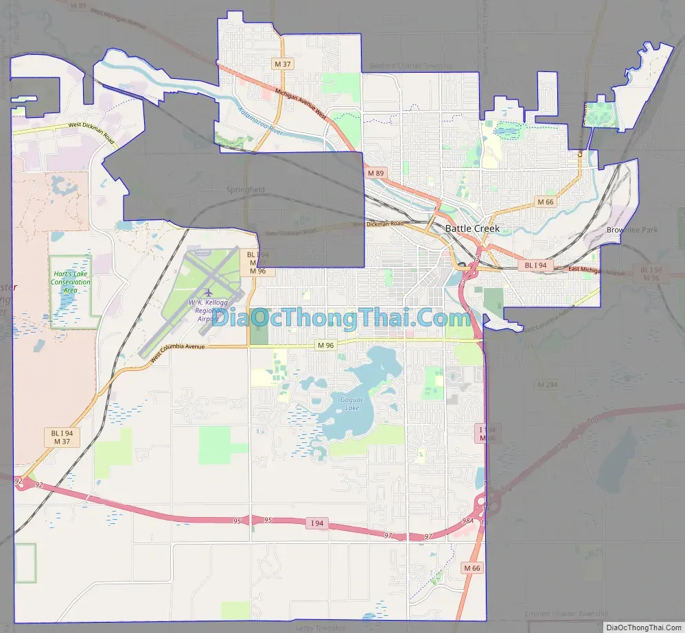
Battle Creek Road Map
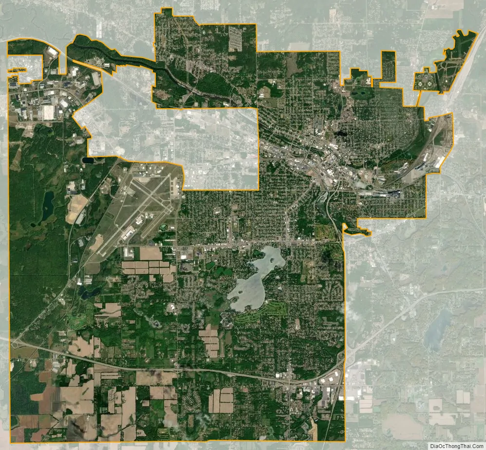
Battle Creek city Satellite Map
Geography
According to the United States Census Bureau, the city has a total area of 43.73 square miles (113.26 km), of which 42.61 square miles (110.36 km) is land and 1.12 square miles (2.90 km) is water, making Battle Creek the third largest city in Michigan by area, and one of only three incorporated municipalities in the state over 40 sq mi (100 km) in size.
- Approximately 60% of the city’s land is developed. Of the undeveloped land, 38% is zoned agricultural, 26% is zoned general industrial, 17.5% is zoned residential, 16% is the Fort Custer Army National Guard Base/Industrial Park, and 2.5% is zone commercial.
- After Battle Creek Township merged into the city of Battle Creek in 1983, the city’s declining population rose by nearly 18,000 new residents. Prior to the merge, the city measured 18.6 square miles (48.17 km).
- Battle Creek is variously considered to be part of West Michigan or Southern Michigan.
Climate
Nearby municipalities
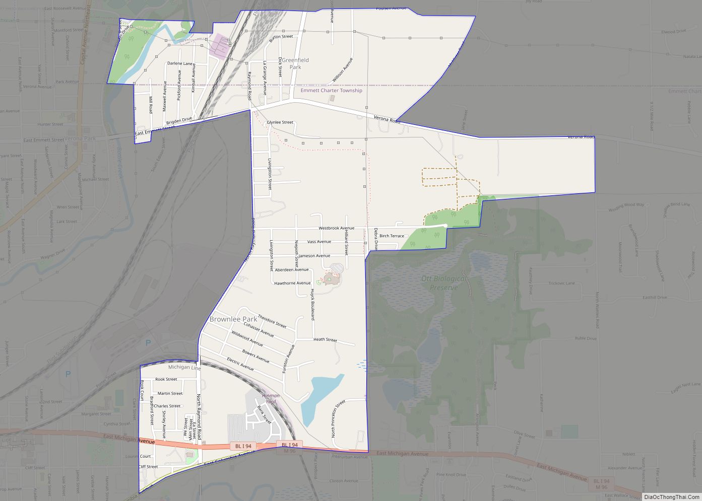
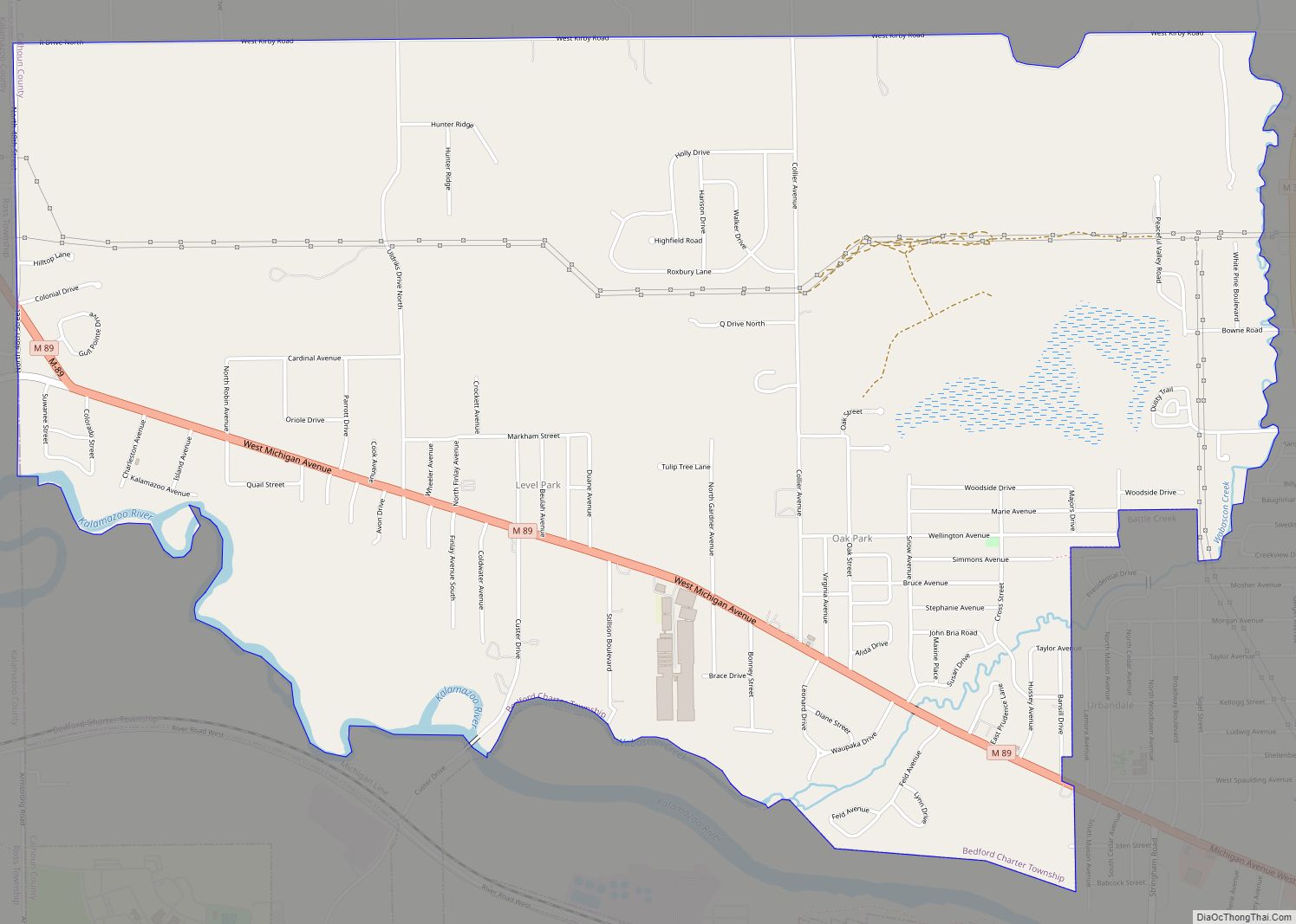
- Bedford Charter Township
- Emmett Charter Township
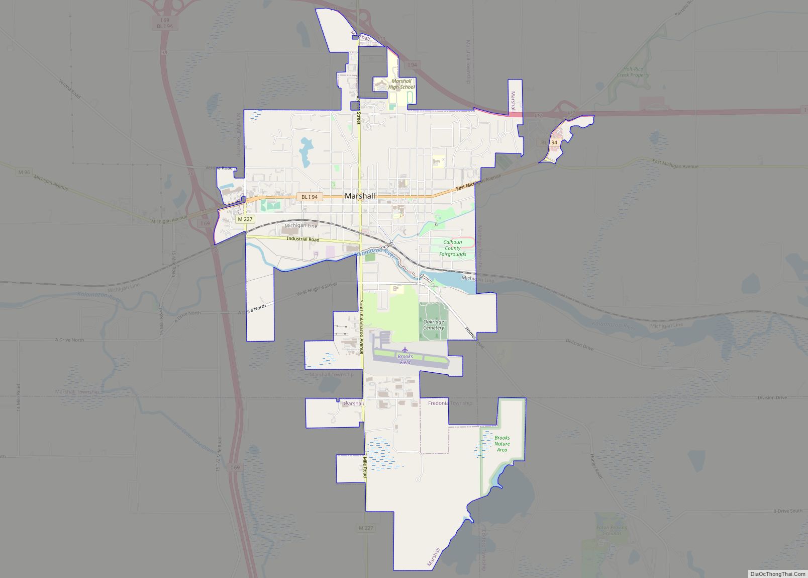
- Pennfield Charter Township
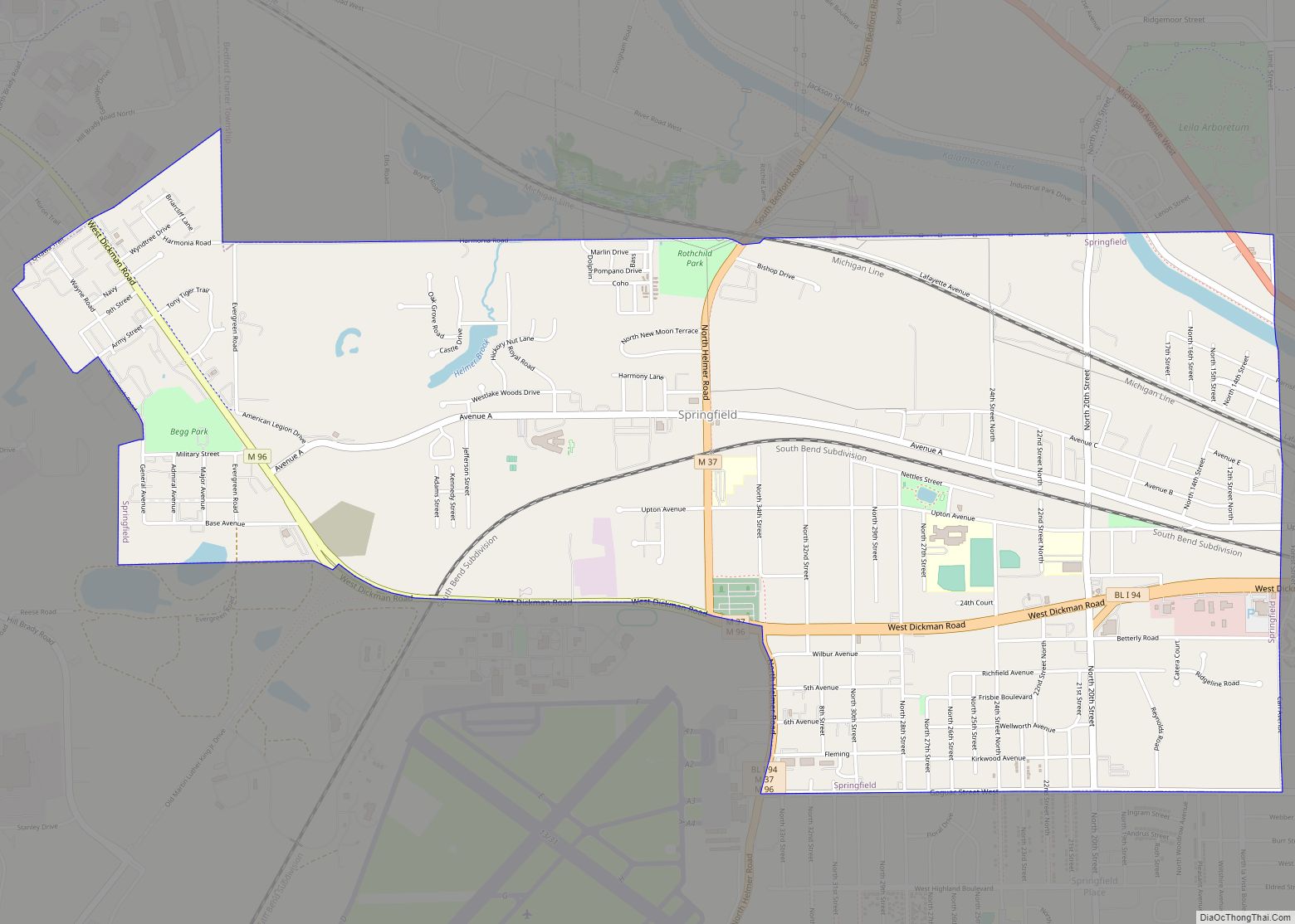
- City of Springfield
See also
Map of Michigan State and its subdivision:- Alcona
- Alger
- Allegan
- Alpena
- Antrim
- Arenac
- Baraga
- Barry
- Bay
- Benzie
- Berrien
- Branch
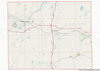
- Calhoun
- Cass
- Charlevoix
- Cheboygan
- Chippewa
- Clare
- Clinton
- Crawford
- Delta
- Dickinson
- Eaton
- Emmet
- Genesee
- Gladwin
- Gogebic
- Grand Traverse
- Gratiot
- Hillsdale
- Houghton
- Huron
- Ingham
- Ionia
- Iosco
- Iron
- Isabella
- Jackson
- Kalamazoo
- Kalkaska
- Kent
- Keweenaw
- Lake
- Lake Hurron
- Lake Michigan
- Lake St. Clair
- Lake Superior
- Lapeer
- Leelanau
- Lenawee
- Livingston
- Luce
- Mackinac
- Macomb
- Manistee
- Marquette
- Mason
- Mecosta
- Menominee
- Midland
- Missaukee
- Monroe
- Montcalm
- Montmorency
- Muskegon
- Newaygo
- Oakland
- Oceana
- Ogemaw
- Ontonagon
- Osceola
- Oscoda
- Otsego
- Ottawa
- Presque Isle
- Roscommon
- Saginaw
- Saint Clair
- Saint Joseph
- Sanilac
- Schoolcraft
- Shiawassee
- Tuscola
- Van Buren
- Washtenaw
- Wayne
- Wexford
- Alabama
- Alaska
- Arizona
- Arkansas
- California
- Colorado
- Connecticut
- Delaware
- District of Columbia
- Florida
- Georgia
- Hawaii
- Idaho
- Illinois
- Indiana
- Iowa
- Kansas
- Kentucky
- Louisiana
- Maine
- Maryland
- Massachusetts
- Michigan
- Minnesota
- Mississippi
- Missouri
- Montana
- Nebraska
- Nevada
- New Hampshire
- New Jersey
- New Mexico
- New York
- North Carolina
- North Dakota
- Ohio
- Oklahoma
- Oregon
- Pennsylvania
- Rhode Island
- South Carolina
- South Dakota
- Tennessee
- Texas
- Utah
- Vermont
- Virginia
- Washington
- West Virginia
- Wisconsin
- Wyoming