Buckman is a city in Morrison County, Minnesota, United States. The population was 307 at the 2020 Census. Buckman city overview: Name: Buckman city LSAD Code: 25 LSAD Description: city (suffix) State: Minnesota County: Morrison County Elevation: 1,224 ft (373 m) Total Area: 1.01 sq mi (2.62 km²) Land Area: 1.01 sq mi (2.62 km²) Water Area: 0.00 sq mi (0.00 km²) Total Population: 307 Population ... Read more
Minnesota Cities and Places
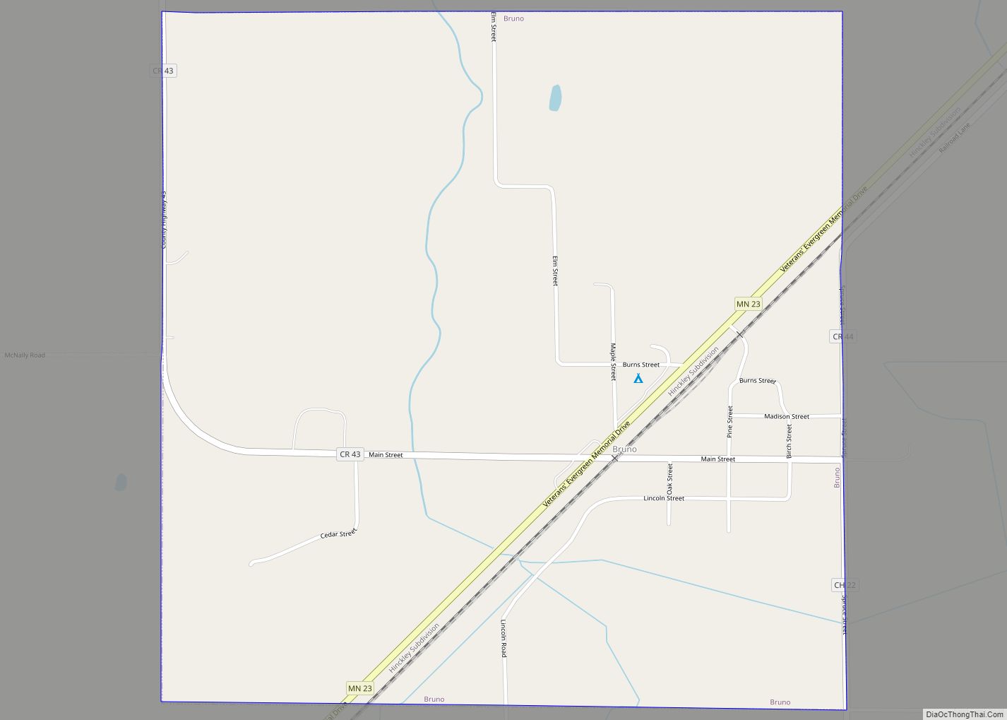
Bruno is a city in Pine County, Minnesota, United States. The population was 102 at the 2010 census. Minnesota State Highway 23 serves as a main route in the community. Bruno city overview: Name: Bruno city LSAD Code: 25 LSAD Description: city (suffix) State: Minnesota County: Pine County Incorporated: 29 August 1903 Elevation: 1,145 ft (349 m) ... Read more
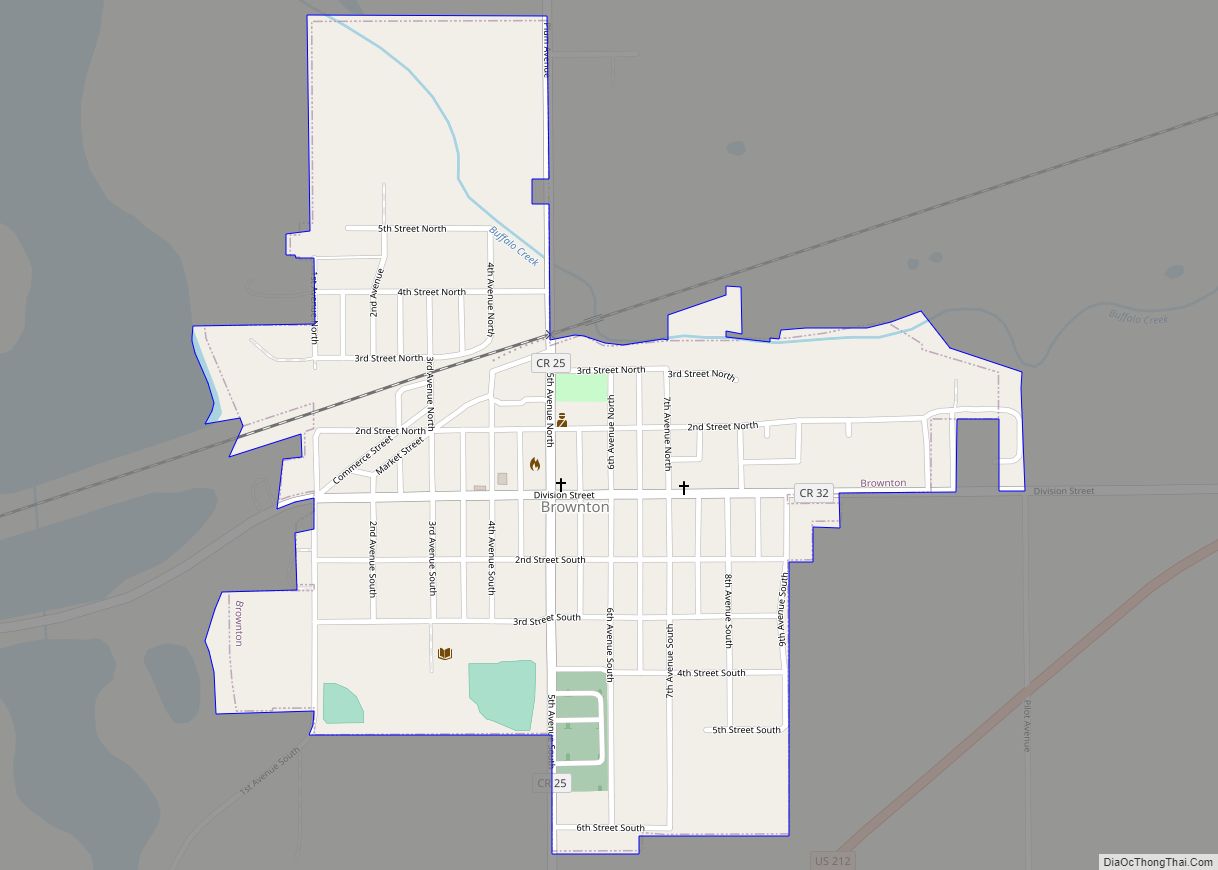
Brownton is a city in McLeod County, Minnesota, United States. The population was 762 at the 2010 census. Brownton city overview: Name: Brownton city LSAD Code: 25 LSAD Description: city (suffix) State: Minnesota County: McLeod County Elevation: 1,030 ft (314 m) Total Area: 0.40 sq mi (1.04 km²) Land Area: 0.40 sq mi (1.04 km²) Water Area: 0.00 sq mi (0.00 km²) Total Population: 731 Population ... Read more
Brownsville is a city in Houston County, Minnesota, United States. The population was 566 at the 2020 census. Brownsville city overview: Name: Brownsville city LSAD Code: 25 LSAD Description: city (suffix) State: Minnesota County: Houston County Elevation: 705 ft (215 m) Total Area: 1.85 sq mi (4.79 km²) Land Area: 1.85 sq mi (4.79 km²) Water Area: 0.00 sq mi (0.00 km²) Total Population: 566 Population ... Read more
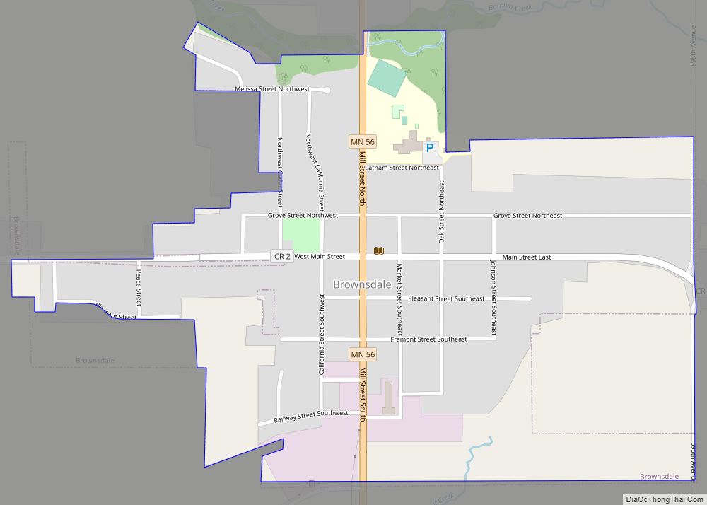
Brownsdale is a city in Red Rock Township, Mower County, Minnesota, United States. The population was 676 at the 2010 census. Brownsdale city overview: Name: Brownsdale city LSAD Code: 25 LSAD Description: city (suffix) State: Minnesota County: Mower County Elevation: 1,283 ft (391 m) Total Area: 0.40 sq mi (1.05 km²) Land Area: 0.40 sq mi (1.05 km²) Water Area: 0.00 sq mi (0.00 km²) Total ... Read more
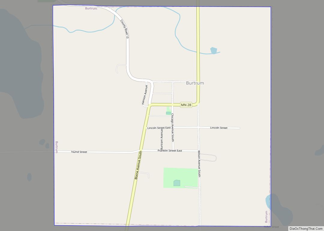
Burtrum is a city in Todd County, Minnesota, United States. The population was 144 at the 2010 census. Burtrum city overview: Name: Burtrum city LSAD Code: 25 LSAD Description: city (suffix) State: Minnesota County: Todd County Elevation: 1,283 ft (391 m) Total Area: 0.57 sq mi (1.47 km²) Land Area: 0.57 sq mi (1.47 km²) Water Area: 0.00 sq mi (0.00 km²) Total Population: 123 Population ... Read more
Burnsville (/ˈbɜːrnzvɪl/) is a city 15 miles (24 km) south of downtown Minneapolis in Dakota County, Minnesota. The city is situated on a bluff overlooking the south bank of the Minnesota River, upstream from its confluence with the Mississippi River. Burnsville and nearby suburbs form the southern portion of Minneapolis–Saint Paul, the 16th-largest metropolitan area in ... Read more
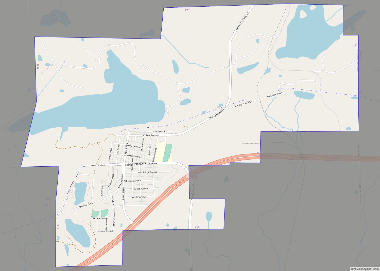
Buhl is a city in Saint Louis County, Minnesota, United States. Its population was 1,000 at the 2010 census. U.S. Highway 169 serves as a main route in the community. The city’s motto is “The Finest Water in America”. Buhl city overview: Name: Buhl city LSAD Code: 25 LSAD Description: city (suffix) State: Minnesota County: ... Read more
Buffalo is a city in the U.S. state of Minnesota and the county seat of Wright County. It is within the Minneapolis–Saint Paul metropolitan area, located about 42 miles northwest of Minneapolis on Buffalo Lake. The population of Buffalo was 15,453 at the 2010 census. The 2020 census revealed Buffalo had a population of 18,168. ... Read more
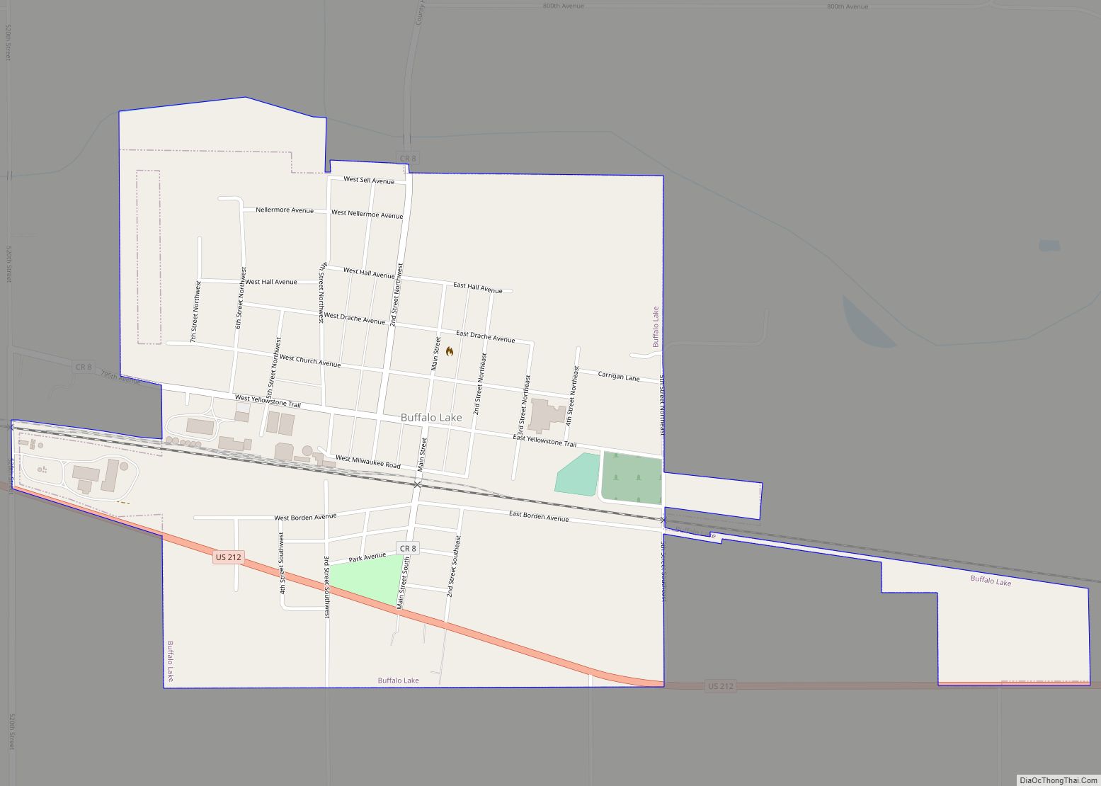
Buffalo Lake is a city in Renville County, Minnesota, United States. The population was 733 at the 2010 census. Buffalo Lake city overview: Name: Buffalo Lake city LSAD Code: 25 LSAD Description: city (suffix) State: Minnesota County: Renville County Elevation: 1,073 ft (327 m) Total Area: 0.68 sq mi (1.77 km²) Land Area: 0.68 sq mi (1.77 km²) Water Area: 0.00 sq mi (0.00 km²) Total ... Read more
Calumet is a city in Itasca County, Minnesota, United States. The population was 367 at the 2010 census. Calumet city overview: Name: Calumet city LSAD Code: 25 LSAD Description: city (suffix) State: Minnesota County: Itasca County Elevation: 1,381 ft (421 m) Total Area: 1.88 sq mi (4.86 km²) Land Area: 1.80 sq mi (4.66 km²) Water Area: 0.08 sq mi (0.20 km²) Total Population: 334 Population ... Read more
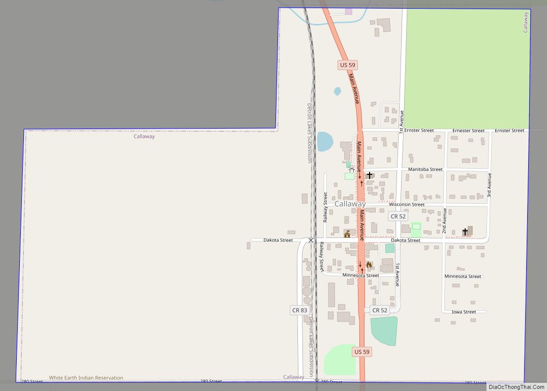
Callaway is a city in Becker County, Minnesota, USA, approximately 11 miles from the county seat, Detroit Lakes, Minnesota. The population was 178 at the 2020 census. Callaway is often associated with a nearby town, Richwood, Minnesota. Callaway city overview: Name: Callaway city LSAD Code: 25 LSAD Description: city (suffix) State: Minnesota County: Becker County ... Read more

