Burnsville (/ˈbɜːrnzvɪl/) is a city 15 miles (24 km) south of downtown Minneapolis in Dakota County, Minnesota. The city is situated on a bluff overlooking the south bank of the Minnesota River, upstream from its confluence with the Mississippi River. Burnsville and nearby suburbs form the southern portion of Minneapolis–Saint Paul, the 16th-largest metropolitan area in the United States, with about 3.7 million residents. At the 2020 census the population was 64,317.
Burnsville is home to a regional mall (Burnsville Center), a section of Murphy-Hanrehan Park Reserve, 310-foot (94 m) vertical ski peak Buck Hill, and part of the Minnesota Valley National Wildlife Refuge.
Burnsville stands on land that once contained a village of Mdewakanton Dakota. Later, it became a rural Irish farming community. Burnsville became Minnesota’s 14th-largest city in the 2020 census following the construction of Interstate 35. Now the ninth-largest suburb in the metro area and a bedroom community of both Minneapolis and Saint Paul, it was fully built by the late 2000s. Burnsville’s downtown area is called Heart of the City with urban-style retail and condominiums. The Burnsville Transit Station serves as the hub and headquarters of the Minnesota Valley Transit Authority, providing regional bus service to five other suburbs.
The name Burnsville is attributed to an early Irish settler and land owner, William Byrne. His surname was recorded as “Burns” and was never corrected.
| Name: | Burnsville city |
|---|---|
| LSAD Code: | 25 |
| LSAD Description: | city (suffix) |
| State: | Minnesota |
| County: | Dakota County |
| Founded: | 1855 |
| Incorporated: | 1964 |
| Elevation: | 971 ft (297 m) |
| Land Area: | 24.94 sq mi (64.59 km²) |
| Water Area: | 2.05 sq mi (5.30 km²) |
| Population Density: | 2,579.18/sq mi (995.82/km²) |
| ZIP code: | 55306, 55337 |
| Area code: | 952 |
| FIPS code: | 2708794 |
| GNISfeature ID: | 0640669 |
| Website: | burnsvillemn.gov |
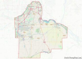
Online Interactive Map
Click on ![]() to view map in "full screen" mode.
to view map in "full screen" mode.
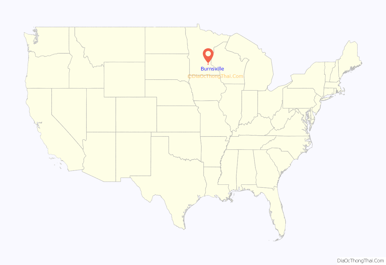
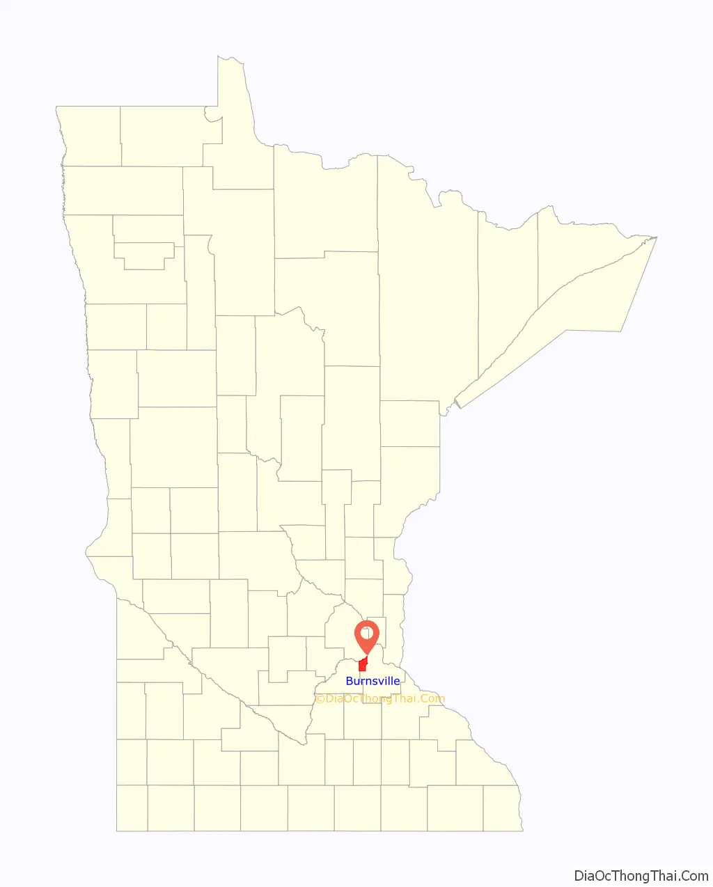
Burnsville location map. Where is Burnsville city?
History
The Mdewakanton Dakota were the earliest inhabitants, arriving by the Minnesota River, following water fowl and game animals. Around 1750, as part of the greater migration of the Mdewakanton from their ancestral area around Mille Lacs Lake to the confluence of the Minnesota and Mississippi Rivers, Chief Black Dog established his band at a permanent village at the isthmus between Black Dog Lake (which is named after him) and the Minnesota River, near the present site of the Black Dog Power Plant. Early settlers reported the village’s population as over 250 Dakota. At the south end of Burnsville, Crystal Lake, recorded as “Minne Elk”, was used for fishing, leisure and burial. It was also a gathering spot where Dakota watched deer or bucks drink at the lake from the top of Buck Hill, which was named by early settlers who witnessed this activity. Three large burial mounds were discovered after European settlement.
The Dakota nation ceded land in 1851 and many relocated to Chief Shakopee’s village—the Shakopee-Mdewakanton Indian Reservation in nearby Prior Lake. The first European settlers were Irish, Scottish and Norwegian farmers who came upriver from Saint Paul. One of these was William Byrne, who had immigrated in 1840 from County Kilkenny, Ireland to Hamilton, Ontario, Canada. In 1855, he settled at the present-day junction of County Road 34 and Judicial Road near the Scott County line, just southeast of old downtown Savage. He subsequently donated land there for a church, school, and a cemetery, and served as town chairman. In 1858, the Dakota County Board authorized Byrnsville Township in the north by the Minnesota River, east by Eagan and Apple Valley, south by Lakeville, and west by Scott County. There is some ambiguity about whether the name actually derived from Byrne, since there were people with the surname “Burns” (a Scottish variant) living in the area. The town clerk recorded variations between “Burns” and “Byrne” but at the 1960s city incorporation, “Burnsville” prevailed. The school district was organized during this time as well. Burnsville originally comprised the present-day downtown of Savage (then known as Hamilton) until county border revisions by the legislature. Irish and Scottish settlers left their names on many area roads and parks and their religion in Presbyterian, Protestant, and Catholic churches.
In the 19th century, Burnsville was considered far from downtown Minneapolis. Rail access came in 1864 and Burnsville became a resort town, with cottages along Crystal Lake as well as Orchard Lake and Marion Lake in nearby Lakeville. The Bloomington Ferry provided river crossings until 1889 when the original Bloomington Ferry Bridge was built. By 1920, the Lyndale Avenue Drawbridge opened next to Black Dog Lake, extending Minneapolis’s first north-south highway to the rural communities of southern Minnesota. Later, the bridge, upgraded several times, was replaced by the I-35W Minnesota River bridge. In 1950, just before the World War II postwar housing boom, Burnsville was still a quiet township with a population of 583. School was taught in a one-room schoolhouse containing eight grades.
After the arrival of Interstate 35W in 1960, the next two decades saw the largest boom in population when postwar pressures forced the community to develop at rapid pace. Byrnesville Township was officially incorporated in 1964 after defeating an annexation attempt by the city of Bloomington. Mass housing development followed and former mayor Connie Morrison has said city managers had foresight in producing shopping nodes in walking distance of most homes. The city became a regional pull when Burnsville Center opened in 1977 and produced the heavily traveled retail strip on County Road 42. The next decades dealt with managing Burnsville’s increasing population and growth which led to providing alternative transportation options, diverse housing projects, and ultimately the “Heart of the City” project. The city approached build-out in the late 1990s and changed focus from new development to redevelopment and rehabilitation of existing structures.
Descendants of the Byrne family still remain in greater Minnesota with the original spelling in their surname. A relative who dedicated William Byrne Elementary in the 1960s considered petitioning to correct the spelling but most of the family had moved away for several decades.
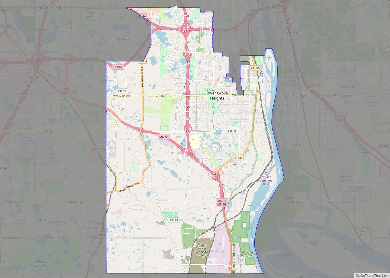
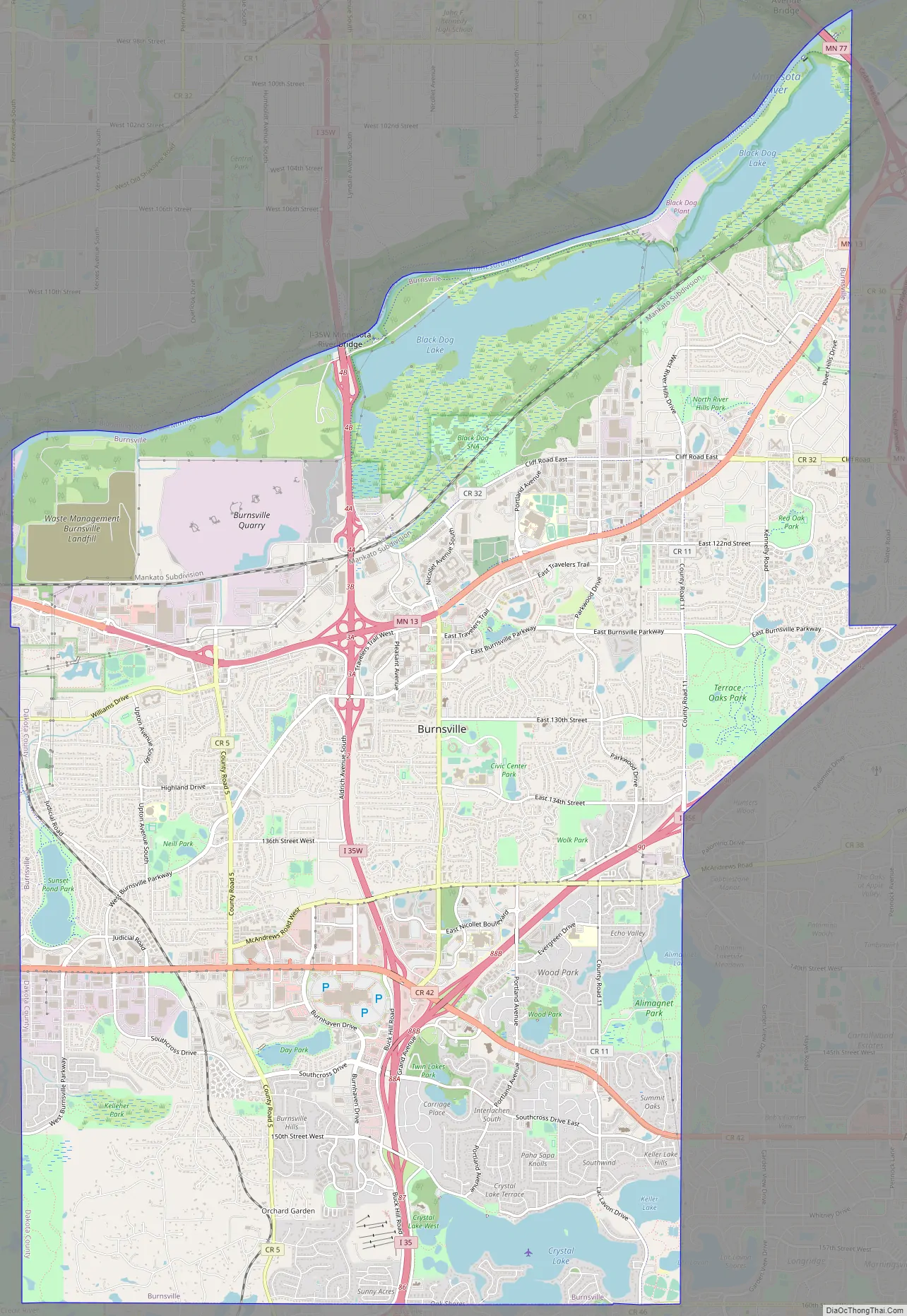
Burnsville Road Map
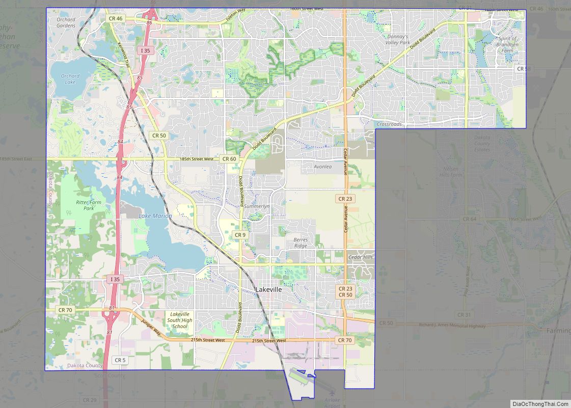
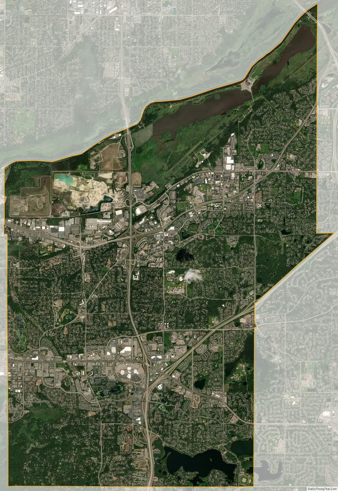
Burnsville city Satellite Map
Geography
Fed by receding glaciers and Lake Agassiz 12,000 years ago, the Glacial River Warren carved today’s Minnesota River valley. On Burnsville’s northern border, the Minnesota River winds through marshland and flood plains toward its confluence with the Mississippi. Most of the river is in the Minnesota Valley National Wildlife Refuge with fish, wildlife, and parkland managed collectively by the U.S. Fish and Wildlife Service and the Minnesota Department of Natural Resources. Burnsville also contains the Black Dog and Lower Minnesota River Watershed Districts, managed by the Dakota County Soil and Water Conservation District.
According to the U.S. Census Bureau, the city has an area of 26.93 square miles (69.75 km), of which 24.91 square miles (64.52 km) is land and 2.02 square miles (5.23 km) is water.
Interstate Highway 35 splits into Interstate Highways 35W and 35E within the city. Other routes in the city include Minnesota Highway 13 and County Road 42.
See also
Map of Minnesota State and its subdivision:- Aitkin
- Anoka
- Becker
- Beltrami
- Benton
- Big Stone
- Blue Earth
- Brown
- Carlton
- Carver
- Cass
- Chippewa
- Chisago
- Clay
- Clearwater
- Cook
- Cottonwood
- Crow Wing
- Dakota
- Dodge
- Douglas
- Faribault
- Fillmore
- Freeborn
- Goodhue
- Grant
- Hennepin
- Houston
- Hubbard
- Isanti
- Itasca
- Jackson
- Kanabec
- Kandiyohi
- Kittson
- Koochiching
- Lac qui Parle
- Lake
- Lake of the Woods
- Lake Superior
- Le Sueur
- Lincoln
- Lyon
- Mahnomen
- Marshall
- Martin
- McLeod
- Meeker
- Mille Lacs
- Morrison
- Mower
- Murray
- Nicollet
- Nobles
- Norman
- Olmsted
- Otter Tail
- Pennington
- Pine
- Pipestone
- Polk
- Pope
- Ramsey
- Red Lake
- Redwood
- Renville
- Rice
- Rock
- Roseau
- Saint Louis
- Scott
- Sherburne
- Sibley
- Stearns
- Steele
- Stevens
- Swift
- Todd
- Traverse
- Wabasha
- Wadena
- Waseca
- Washington
- Watonwan
- Wilkin
- Winona
- Wright
- Yellow Medicine
- Alabama
- Alaska
- Arizona
- Arkansas
- California
- Colorado
- Connecticut
- Delaware
- District of Columbia
- Florida
- Georgia
- Hawaii
- Idaho
- Illinois
- Indiana
- Iowa
- Kansas
- Kentucky
- Louisiana
- Maine
- Maryland
- Massachusetts
- Michigan
- Minnesota
- Mississippi
- Missouri
- Montana
- Nebraska
- Nevada
- New Hampshire
- New Jersey
- New Mexico
- New York
- North Carolina
- North Dakota
- Ohio
- Oklahoma
- Oregon
- Pennsylvania
- Rhode Island
- South Carolina
- South Dakota
- Tennessee
- Texas
- Utah
- Vermont
- Virginia
- Washington
- West Virginia
- Wisconsin
- Wyoming