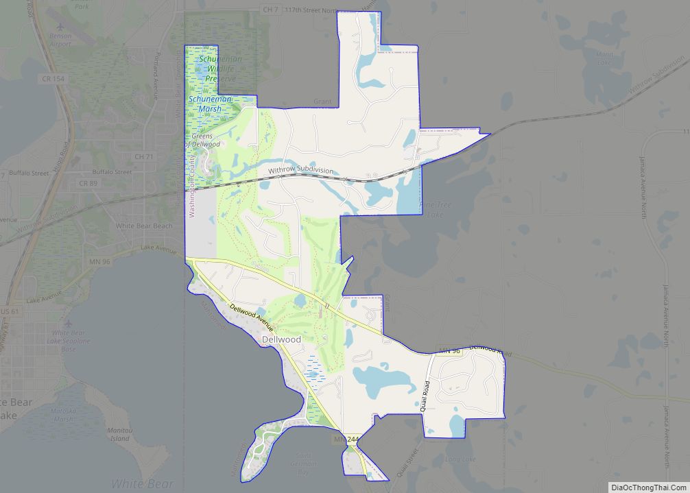
Dellwood is a city in Washington County, Minnesota, United States and a suburb of St. Paul. The population was 1,063 at the 2010 census. Dellwood city overview: Name: Dellwood city LSAD Code: 25 LSAD Description: city (suffix) State: Minnesota County: Washington County Elevation: 974 ft (297 m) Total Area: 2.81 sq mi (7.28 km²) Land Area: 2.66 sq mi (6.90 km²) Water Area: ... Read more
Minnesota Cities and Places
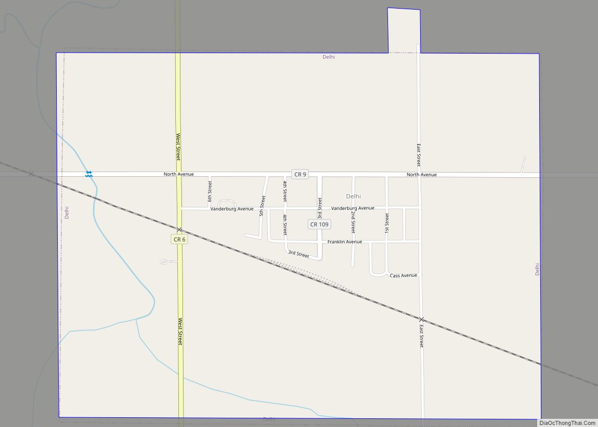
Delhi is a city in Redwood County, Minnesota, United States. The population was 70 at the 2010 census. Delhi city overview: Name: Delhi city LSAD Code: 25 LSAD Description: city (suffix) State: Minnesota County: Redwood County Elevation: 1,030 ft (314 m) Total Area: 0.76 sq mi (1.97 km²) Land Area: 0.76 sq mi (1.97 km²) Water Area: 0.00 sq mi (0.00 km²) Total Population: 46 Population ... Read more
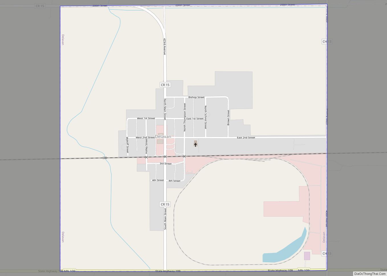
Delavan (/ˈdɛləvən/ DEL-ə-vən) is a city in Faribault County, Minnesota, United States. The population was 179 at the 2010 census. Delavan city overview: Name: Delavan city LSAD Code: 25 LSAD Description: city (suffix) State: Minnesota County: Faribault County Elevation: 1,066 ft (325 m) Total Area: 1.00 sq mi (2.60 km²) Land Area: 1.00 sq mi (2.60 km²) Water Area: 0.00 sq mi (0.00 km²) Total Population: ... Read more
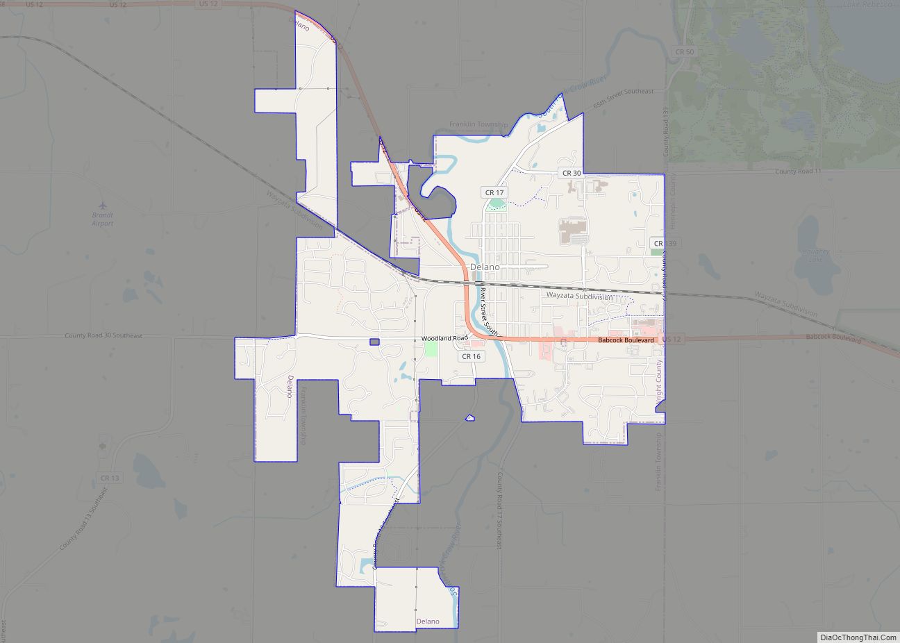
Delano (/ˈdɛləˌnoʊ/ DEH-lə-NOH) is a city in Wright County, Minnesota, United States. The population was 6,484 at the 2020 census. The city is known for its small-town feel. It is in the outskirts of the Twin Cities Metropolitan Statistical Area. Delano city overview: Name: Delano city LSAD Code: 25 LSAD Description: city (suffix) State: Minnesota ... Read more
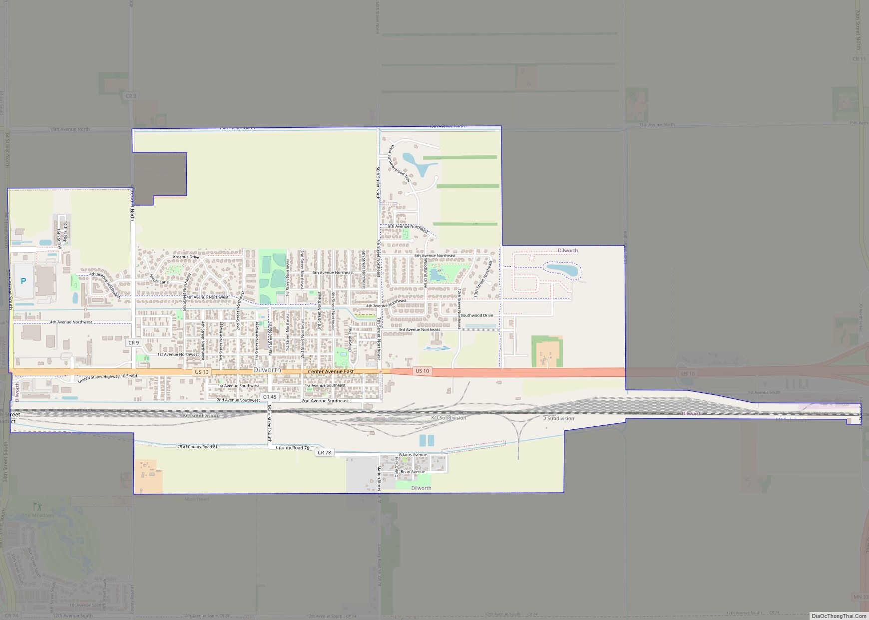
Dilworth is a city in Clay County, Minnesota, United States. The population was 4,612 at the time of the 2020 census. Dilworth is one of the core cities of the Fargo–Moorhead metro area; it is on the eastern border of Moorhead. Dilworth is home to the historic Star Lite Motel and the Dilworth Rail Yard, ... Read more
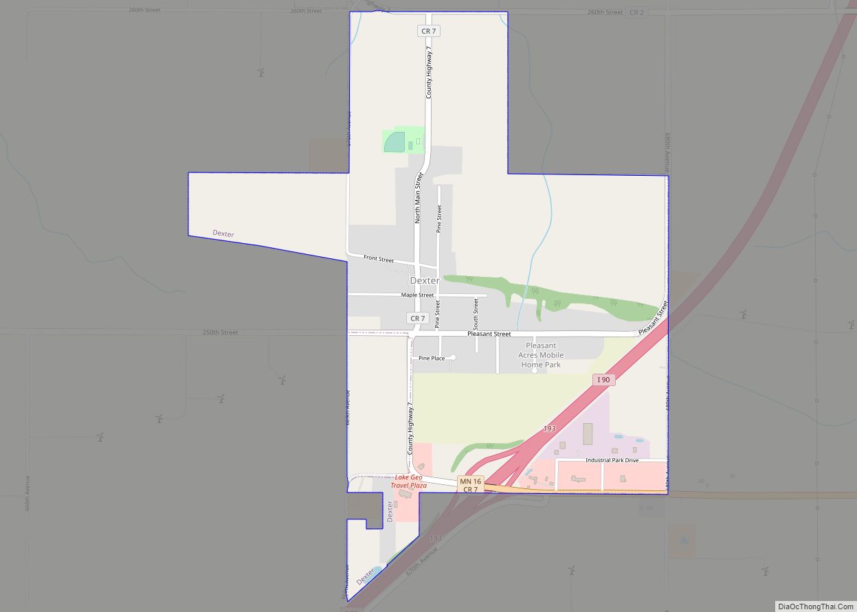
Dexter city overview: Name: Dexter city LSAD Code: 25 LSAD Description: city (suffix) State: Minnesota County: Mower County Elevation: 1,421 ft (433 m) Total Area: 1.41 sq mi (3.65 km²) Land Area: 1.41 sq mi (3.65 km²) Water Area: 0.00 sq mi (0.00 km²) Total Population: 324 Population Density: 230.11/sq mi (88.83/km²) ZIP code: 55926 Area code: 507 FIPS code: 2715886 GNISfeature ID: 0642794 Online Interactive Map ... Read more
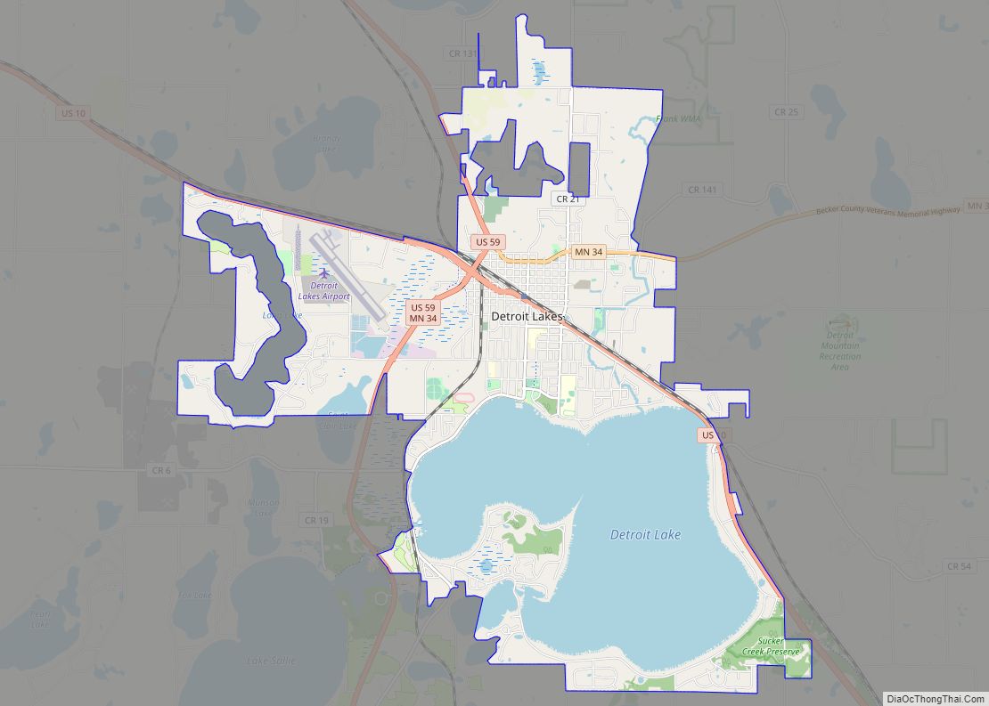
Detroit Lakes is a city in the State of Minnesota and the county seat of Becker County. The population was 9,869 at the 2020 census. Its unofficial population during summer months is much higher, estimated by citizens to peak at 13,000 midsummers, due to seasonal residents and tourists. U.S. Highways 10 and 59, and Minnesota ... Read more
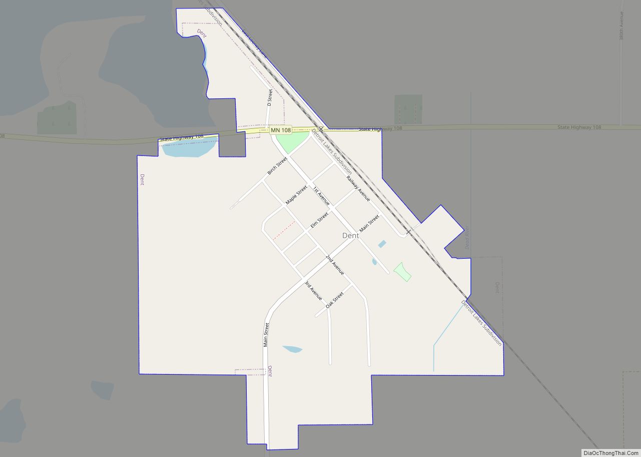
Dent is a city in Otter Tail County, Minnesota, United States. The population was 173 at the 2020 census. Dent city overview: Name: Dent city LSAD Code: 25 LSAD Description: city (suffix) State: Minnesota County: Otter Tail County Founded: 1903 Incorporated: September 6, 1904 Elevation: 1,375 ft (419 m) Total Area: 0.37 sq mi (0.95 km²) Land Area: 0.36 sq mi (0.94 km²) ... Read more
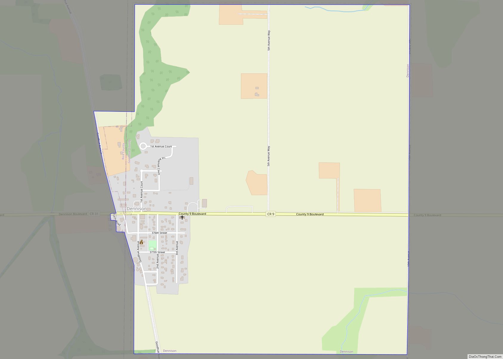
Dennison is a city in Goodhue and Rice counties in the U.S. state of Minnesota. The population was 212 at the 2010 census. Most of Dennison is in Goodhue County, with only a small part that extends into Rice County. Dennison city overview: Name: Dennison city LSAD Code: 25 LSAD Description: city (suffix) State: Minnesota ... Read more
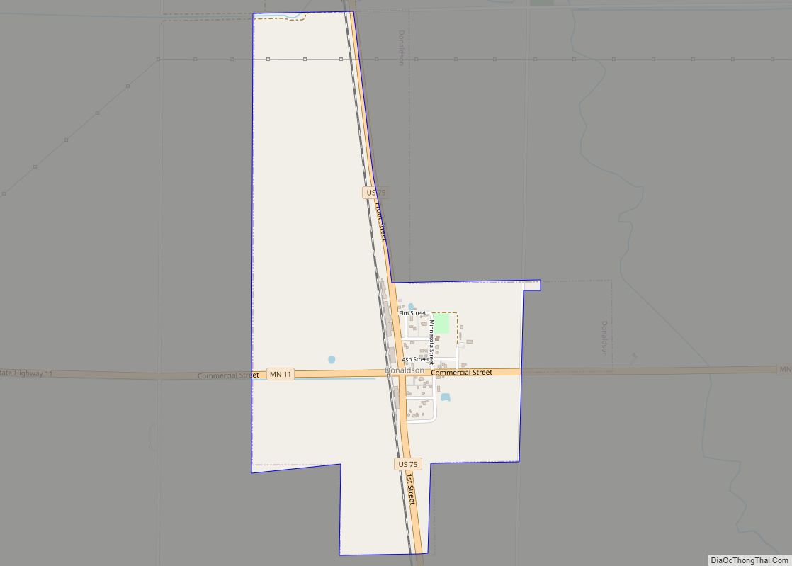
Donaldson is a city in Kittson County, Minnesota, United States. The population was 20 at the 2020 census. U.S. Route 75 and Minnesota State Highway 11 are two of the main arterial routes in the community. Donaldson city overview: Name: Donaldson city LSAD Code: 25 LSAD Description: city (suffix) State: Minnesota County: Kittson County Elevation: ... Read more
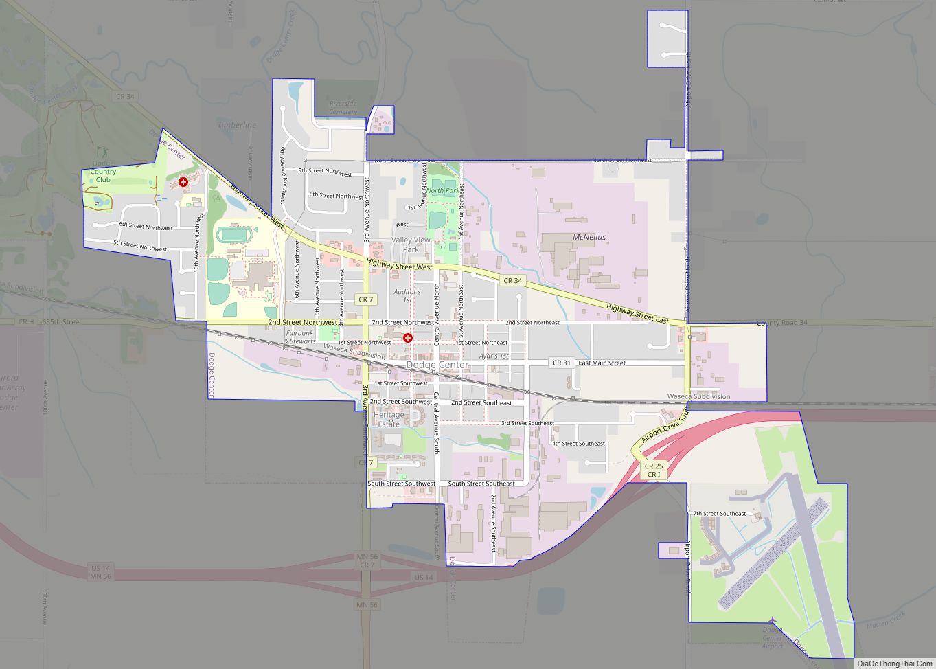
Dodge Center is a city in Dodge County, Minnesota, United States. Approximately 15 miles west of Rochester, the population of Dodge Center was 2,670 at the 2010 census. Dodge Center is part of the Rochester, MN Metropolitan Statistical Area. Dodge Center city overview: Name: Dodge Center city LSAD Code: 25 LSAD Description: city (suffix) State: ... Read more
Dover is a city in Olmsted County, Minnesota, United States. The population was 735 at the 2010 census. Dover city overview: Name: Dover city LSAD Code: 25 LSAD Description: city (suffix) State: Minnesota County: Olmsted County Elevation: 1,155 ft (352 m) Total Area: 1.00 sq mi (2.60 km²) Land Area: 1.00 sq mi (2.60 km²) Water Area: 0.00 sq mi (0.00 km²) Total Population: 782 Population ... Read more
