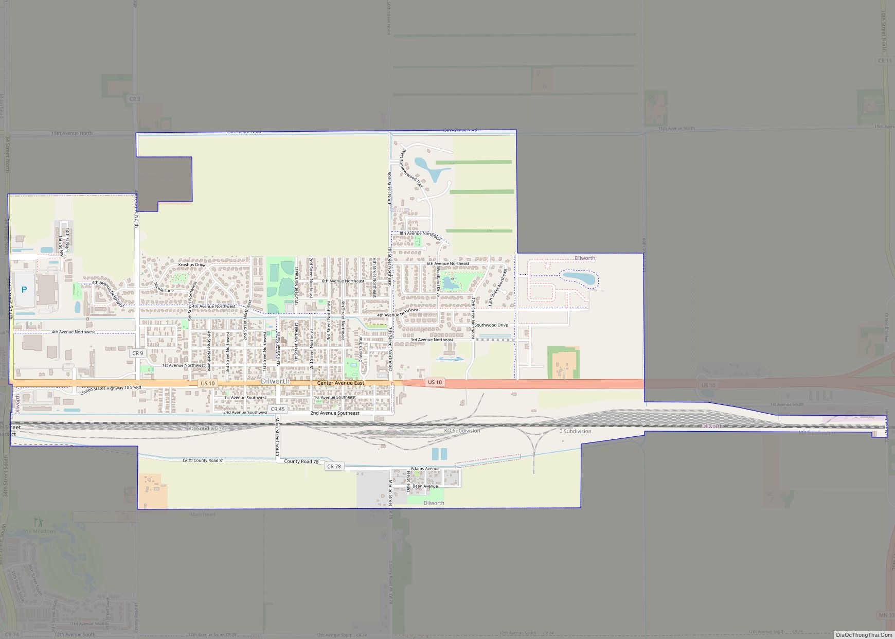
Dilworth is a city in Clay County, Minnesota, United States. The population was 4,612 at the time of the 2020 census. Dilworth is one of the core cities of the Fargo–Moorhead metro area; it is on the eastern border of Moorhead. Dilworth is home to the historic Star Lite Motel and the Dilworth Rail Yard, one of the BNSF Railway’s largest and busiest facilities in Minnesota.
| Name: | Dilworth city |
|---|---|
| LSAD Code: | 25 |
| LSAD Description: | city (suffix) |
| State: | Minnesota |
| County: | Clay County |
| Founded: | 1883 |
| Elevation: | 909 ft (277 m) |
| Total Area: | 3.21 sq mi (8.31 km²) |
| Land Area: | 3.21 sq mi (8.30 km²) |
| Water Area: | 0.00 sq mi (0.01 km²) |
| Total Population: | 4,612 |
| Population Density: | 1,438.55/sq mi (555.37/km²) |
| ZIP code: | 56529 |
| Area code: | 218 |
| FIPS code: | 2715976 |
| GNISfeature ID: | 0642816 |
| Website: | cityofdilworth.com |
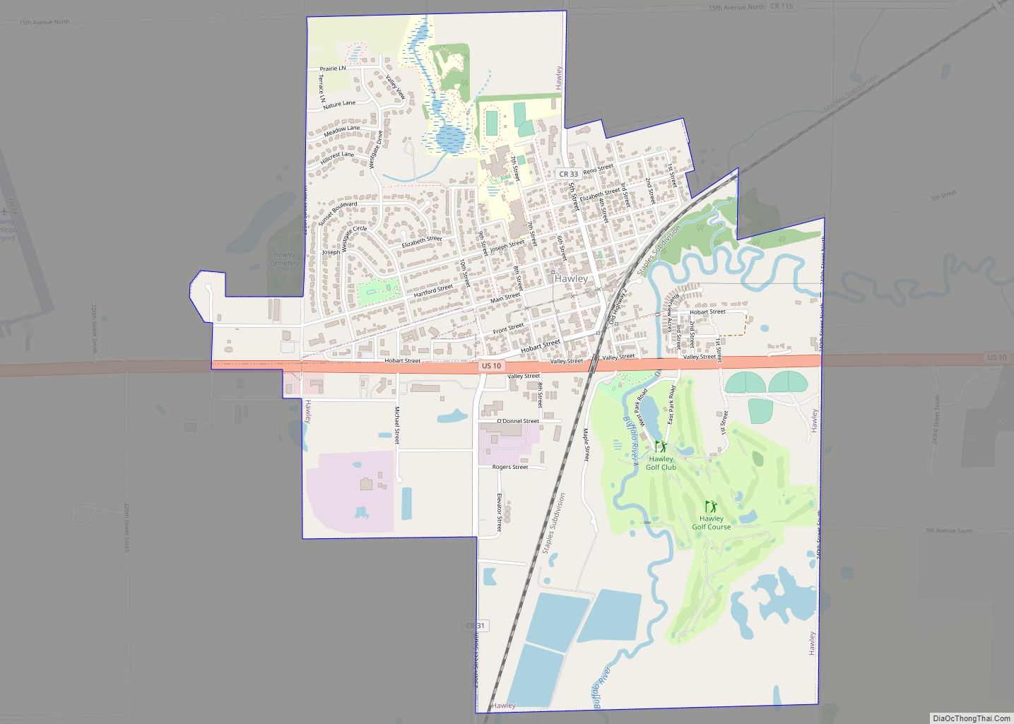
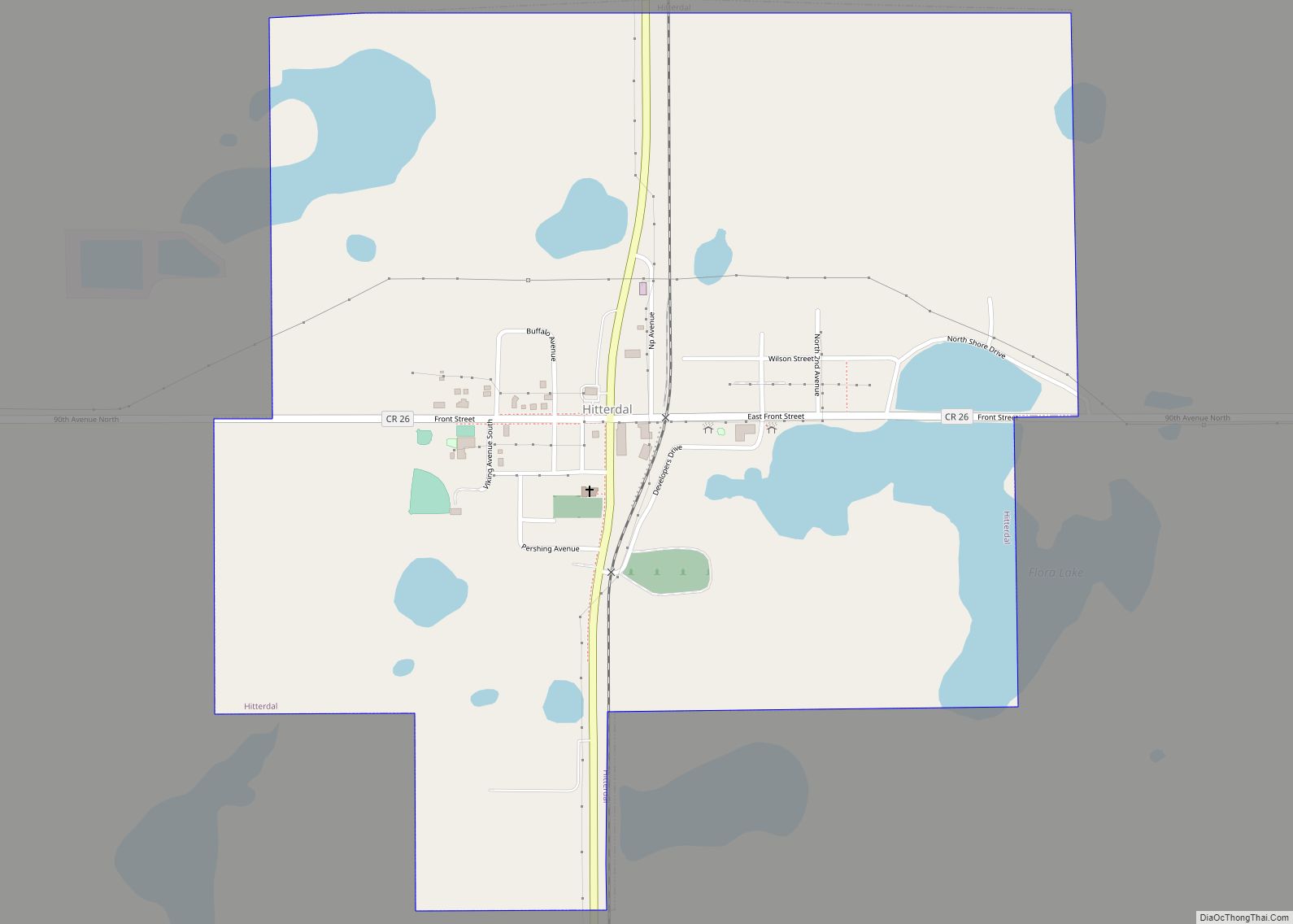
Online Interactive Map
Click on ![]() to view map in "full screen" mode.
to view map in "full screen" mode.
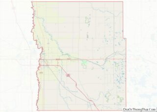
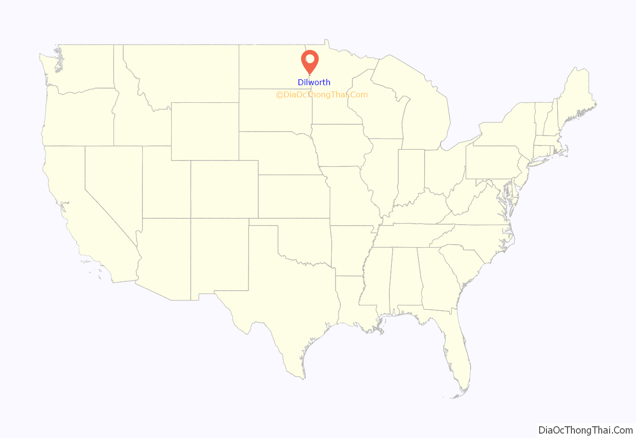
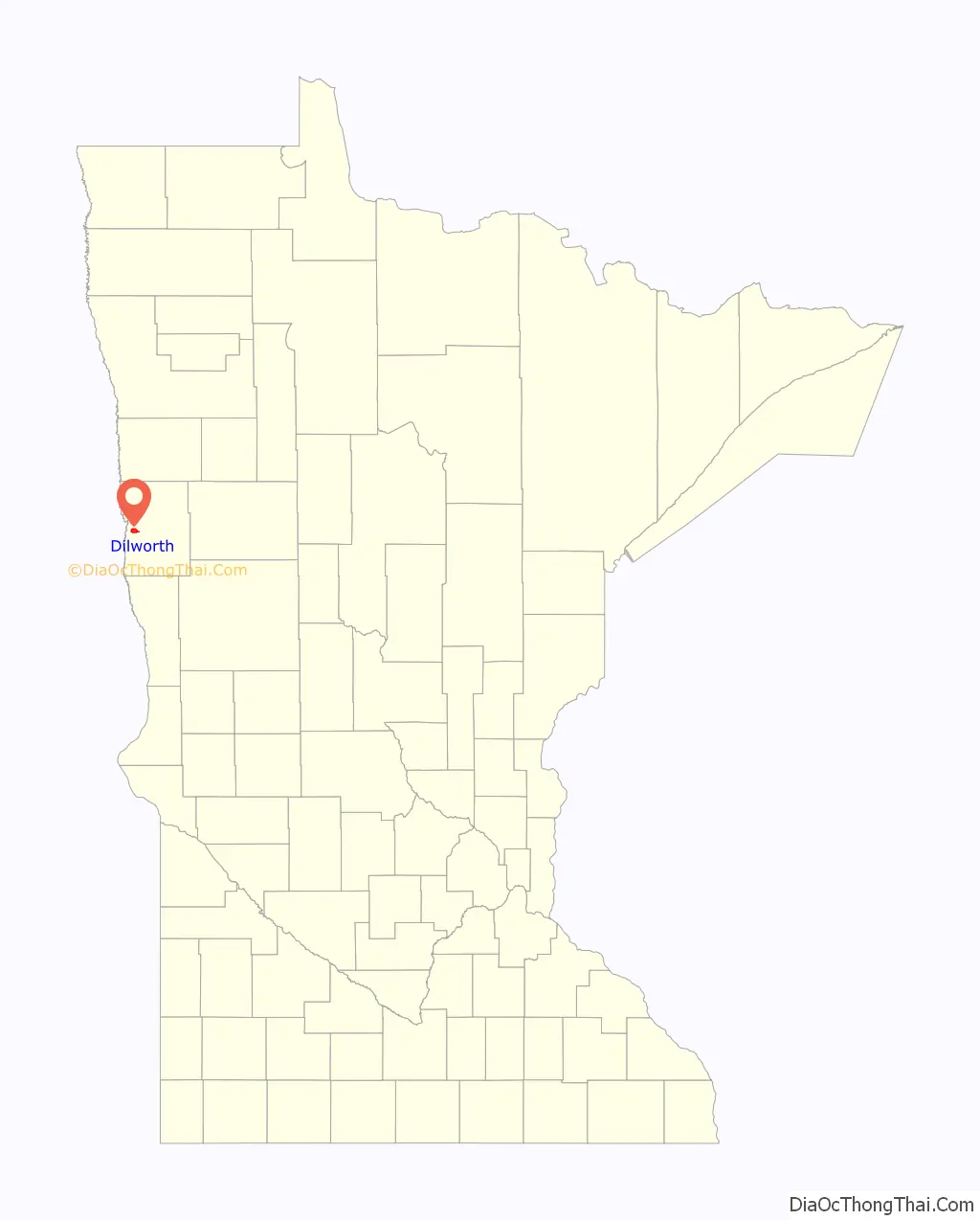
Dilworth location map. Where is Dilworth city?
History
Dilworth was founded in 1883 when the Northern Pacific Railroad was extended to that point. It was named for Joseph Dilworth, a railroad official.
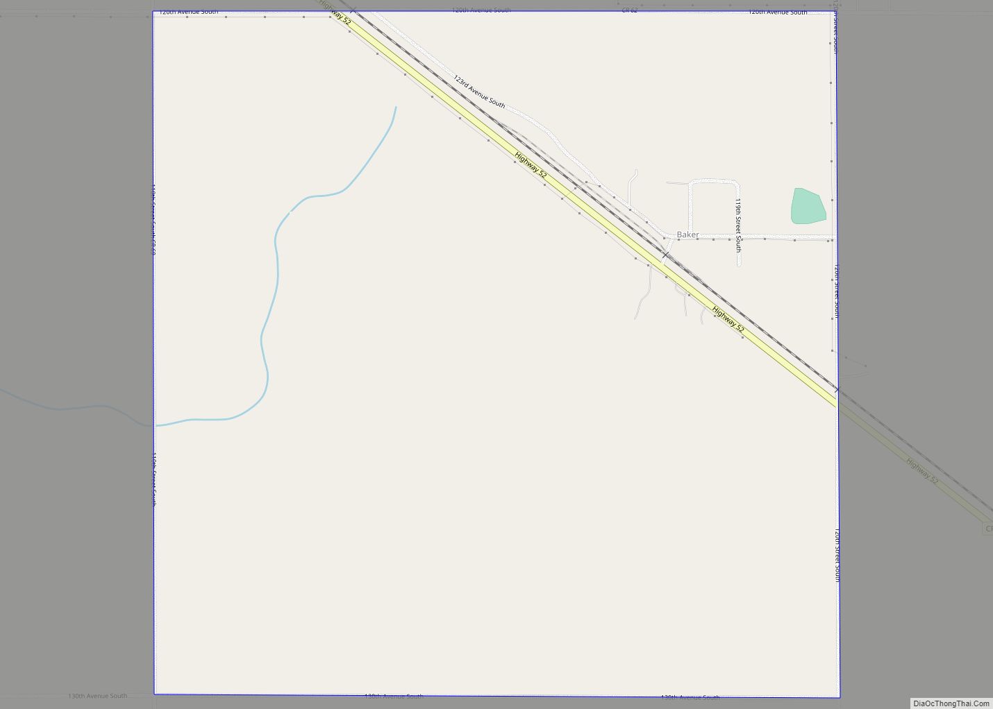
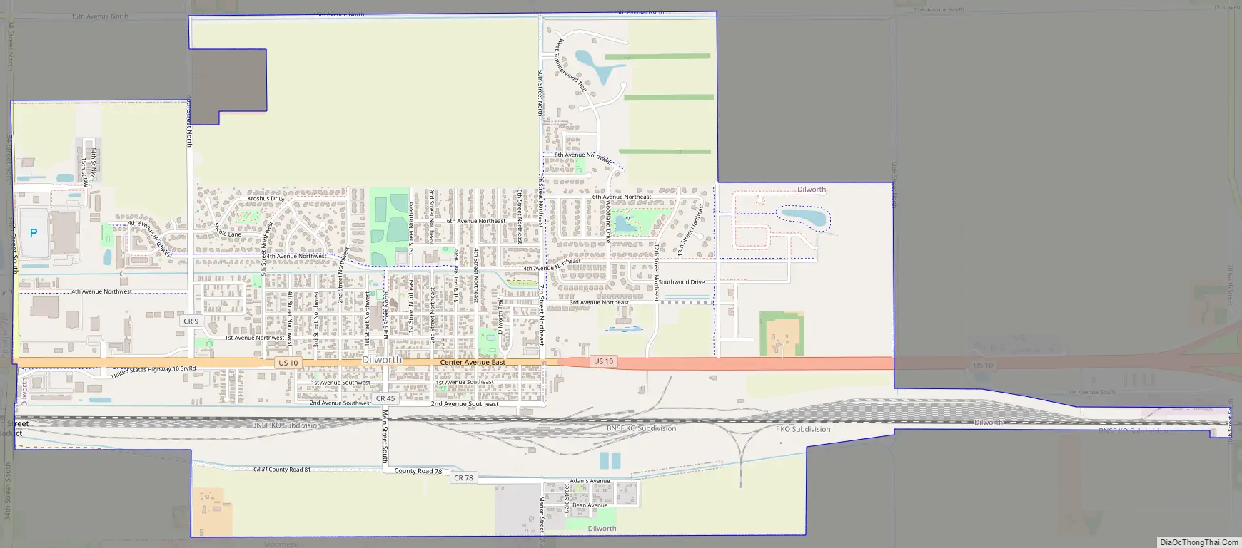
Dilworth Road Map
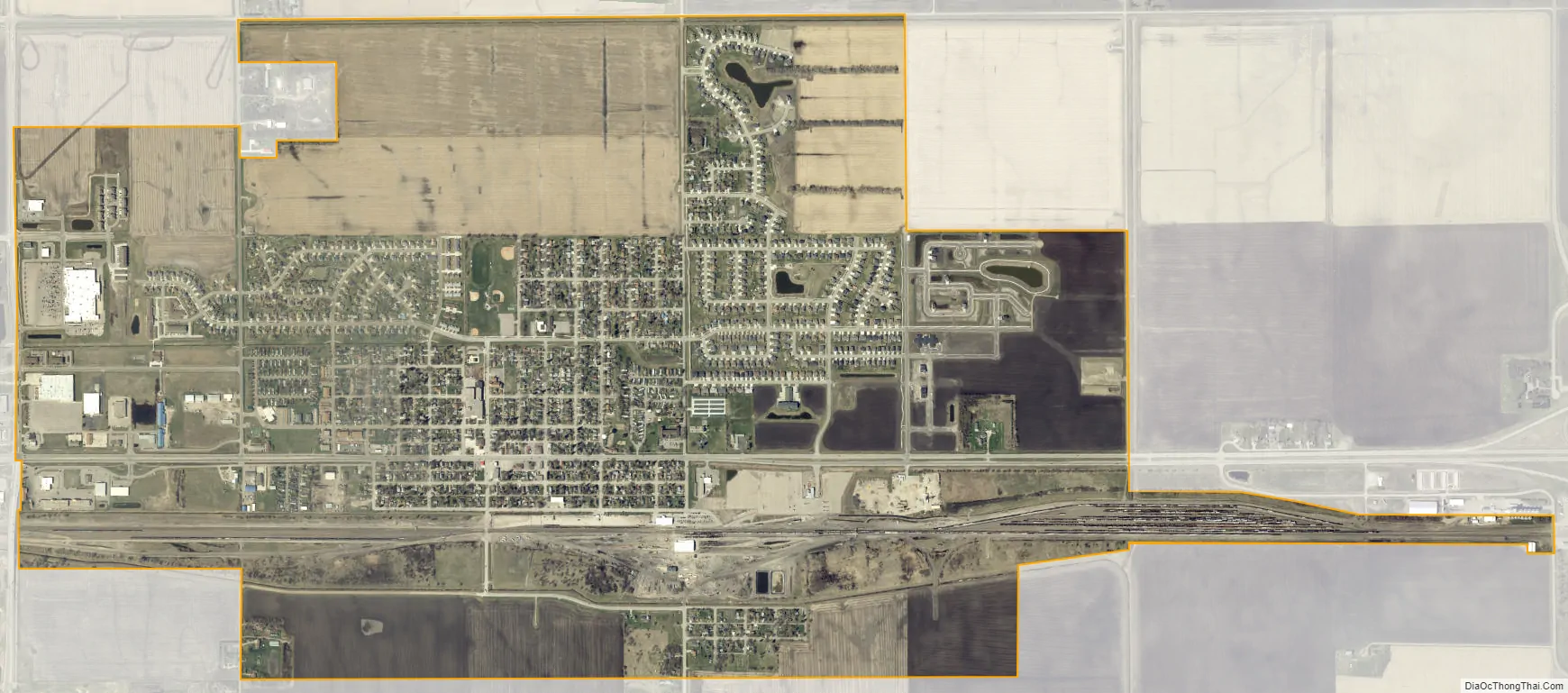
Dilworth city Satellite Map
Geography
According to the United States Census Bureau, the city has an area of 3.32 square miles (8.60 km), of which 3.31 square miles (8.57 km) is land and 0.01 square miles (0.03 km) is water.
See also
Map of Minnesota State and its subdivision:- Aitkin
- Anoka
- Becker
- Beltrami
- Benton
- Big Stone
- Blue Earth
- Brown
- Carlton
- Carver
- Cass
- Chippewa
- Chisago
- Clay
- Clearwater
- Cook
- Cottonwood
- Crow Wing
- Dakota
- Dodge
- Douglas
- Faribault
- Fillmore
- Freeborn
- Goodhue
- Grant
- Hennepin
- Houston
- Hubbard
- Isanti
- Itasca
- Jackson
- Kanabec
- Kandiyohi
- Kittson
- Koochiching
- Lac qui Parle
- Lake
- Lake of the Woods
- Lake Superior
- Le Sueur
- Lincoln
- Lyon
- Mahnomen
- Marshall
- Martin
- McLeod
- Meeker
- Mille Lacs
- Morrison
- Mower
- Murray
- Nicollet
- Nobles
- Norman
- Olmsted
- Otter Tail
- Pennington
- Pine
- Pipestone
- Polk
- Pope
- Ramsey
- Red Lake
- Redwood
- Renville
- Rice
- Rock
- Roseau
- Saint Louis
- Scott
- Sherburne
- Sibley
- Stearns
- Steele
- Stevens
- Swift
- Todd
- Traverse
- Wabasha
- Wadena
- Waseca
- Washington
- Watonwan
- Wilkin
- Winona
- Wright
- Yellow Medicine
- Alabama
- Alaska
- Arizona
- Arkansas
- California
- Colorado
- Connecticut
- Delaware
- District of Columbia
- Florida
- Georgia
- Hawaii
- Idaho
- Illinois
- Indiana
- Iowa
- Kansas
- Kentucky
- Louisiana
- Maine
- Maryland
- Massachusetts
- Michigan
- Minnesota
- Mississippi
- Missouri
- Montana
- Nebraska
- Nevada
- New Hampshire
- New Jersey
- New Mexico
- New York
- North Carolina
- North Dakota
- Ohio
- Oklahoma
- Oregon
- Pennsylvania
- Rhode Island
- South Carolina
- South Dakota
- Tennessee
- Texas
- Utah
- Vermont
- Virginia
- Washington
- West Virginia
- Wisconsin
- Wyoming