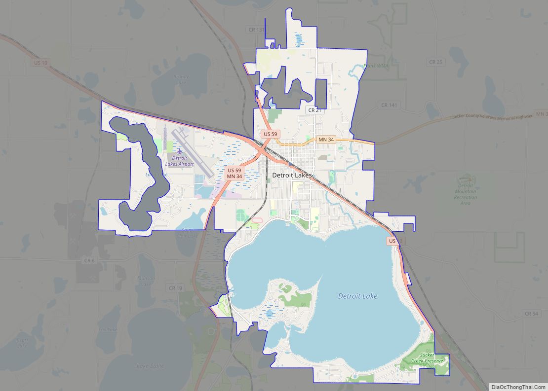
Detroit Lakes is a city in the State of Minnesota and the county seat of Becker County. The population was 9,869 at the 2020 census. Its unofficial population during summer months is much higher, estimated by citizens to peak at 13,000 midsummers, due to seasonal residents and tourists.
U.S. Highways 10 and 59, and Minnesota State Highway 34 serve as the primary routes through the city. Detroit Lakes is located 45 miles east of the Fargo–Moorhead ND-MN statistical metropolitan area. The nearest major metropolitan area with a population over 1 million is Minneapolis–Saint Paul, which is approximately 205 miles southeast of Detroit Lakes.
Detroit Lakes is a regional summer and winter recreation destination, attracting large numbers of tourists and seasonal residents each year. Its economy is fueled by seasonal population increases, with tourism being the area’s chief industry.
| Name: | Detroit Lakes city |
|---|---|
| LSAD Code: | 25 |
| LSAD Description: | city (suffix) |
| State: | Minnesota |
| County: | Becker County |
| Founded: | 1871 |
| Elevation: | 1,368 ft (417 m) |
| Total Area: | 17.37 sq mi (44.98 km²) |
| Land Area: | 11.75 sq mi (30.43 km²) |
| Water Area: | 5.62 sq mi (14.55 km²) |
| Total Population: | 9,869 |
| Population Density: | 840.13/sq mi (324.37/km²) |
| ZIP code: | 56501, 56502 |
| Area code: | 218 |
| FIPS code: | 2715832 |
| GNISfeature ID: | 0642777 |
| Website: | cityofdetroitlakes.com |
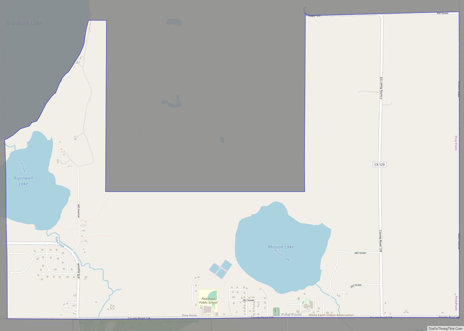
Online Interactive Map
Click on ![]() to view map in "full screen" mode.
to view map in "full screen" mode.
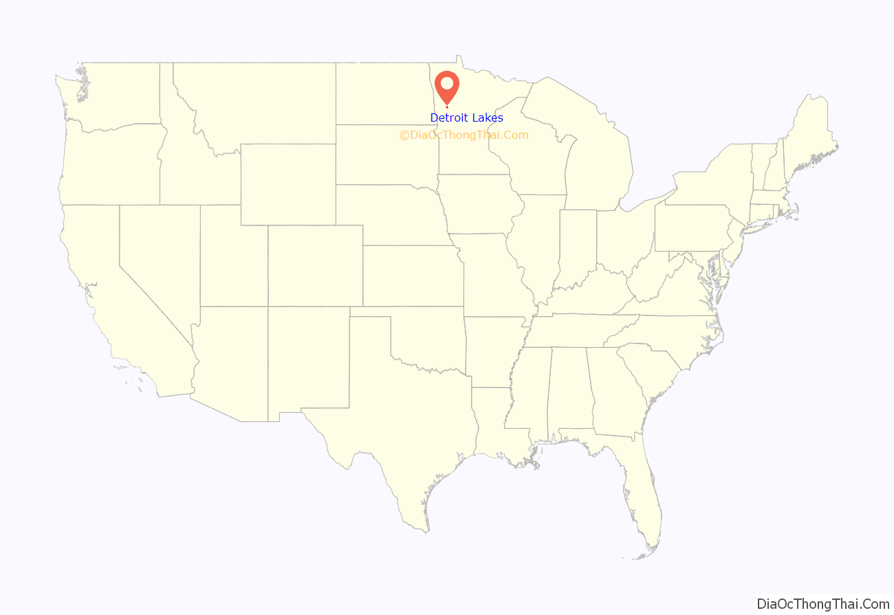
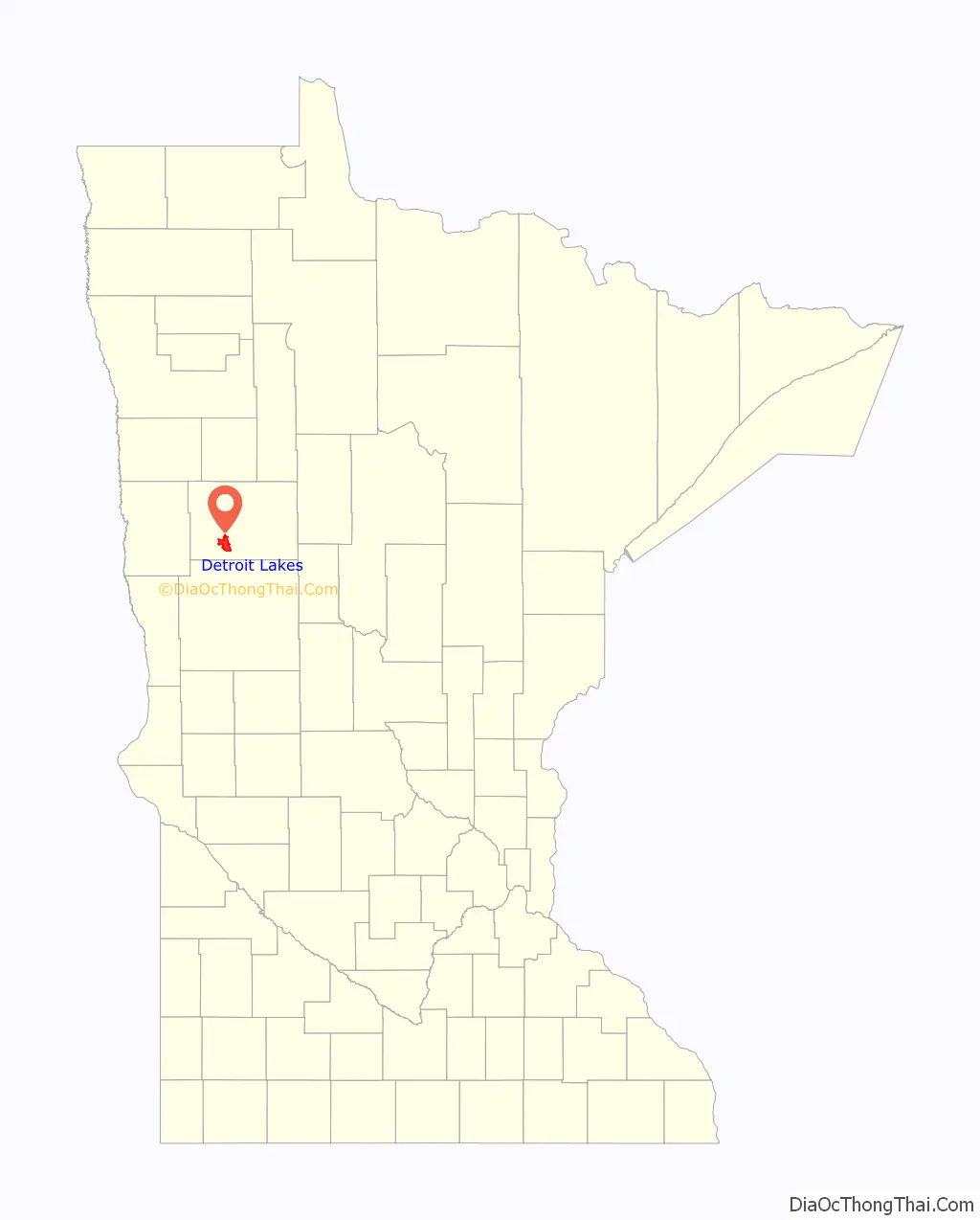
Detroit Lakes location map. Where is Detroit Lakes city?
History
The city of Detroit Lakes was founded by Colonel George Johnston in 1871. The city’s current name has been extant since 1927, to avoid confusion with Detroit, Michigan. Beforehand, it was simply called Detroit. The name was given by a French missionary. Détroit is French and translates to strait or narrows, referring to the sand bar separating Big Detroit lake from Little Detroit lake. The sand bar was dredged and partially submerged to make the Pelican River watershed navigable by steamboat in the late 19th century.
Detroit Lakes was a resting place on the Red River Oxcart Trails. The Ojibwe name for Detroit Lakes is “Gaiajawangag”, meaning a lake with a crossing in a sandy place.
The city grew quickly with the construction of the Northern Pacific Railroad. In 1877, an election finally decided that Detroit Lakes, then still known as Detroit, was to become the county seat. Detroit won the election by a ninety percent majority. The nearby cities of Frazee, Lake Park, and Audubon were also in the running for the county seat. By 1884, Detroit Lakes had many businesses, including the Hotel Minnesota, the Lakes Hotel, a bank, a newspaper, and an opera house. The first county courthouse was built in Detroit Lakes that year also. Some of the city’s historic buildings still stand, such as the 1908 railroad station and the historic Holmes Theater. The Becker County Museum, located near the Holmes Theater in Detroit Lakes, has information and exhibits on the history of the city and the surrounding area.
Detroit Lakes Road Map
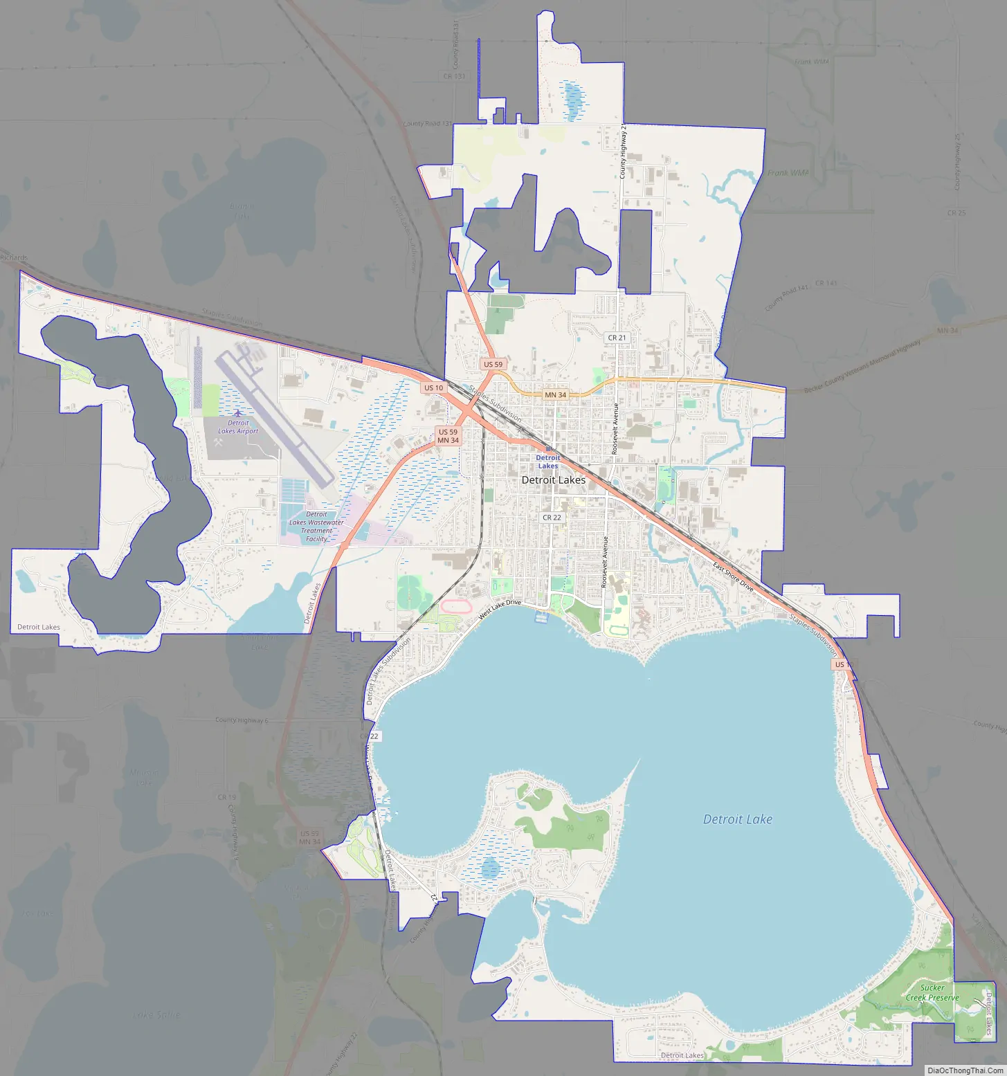
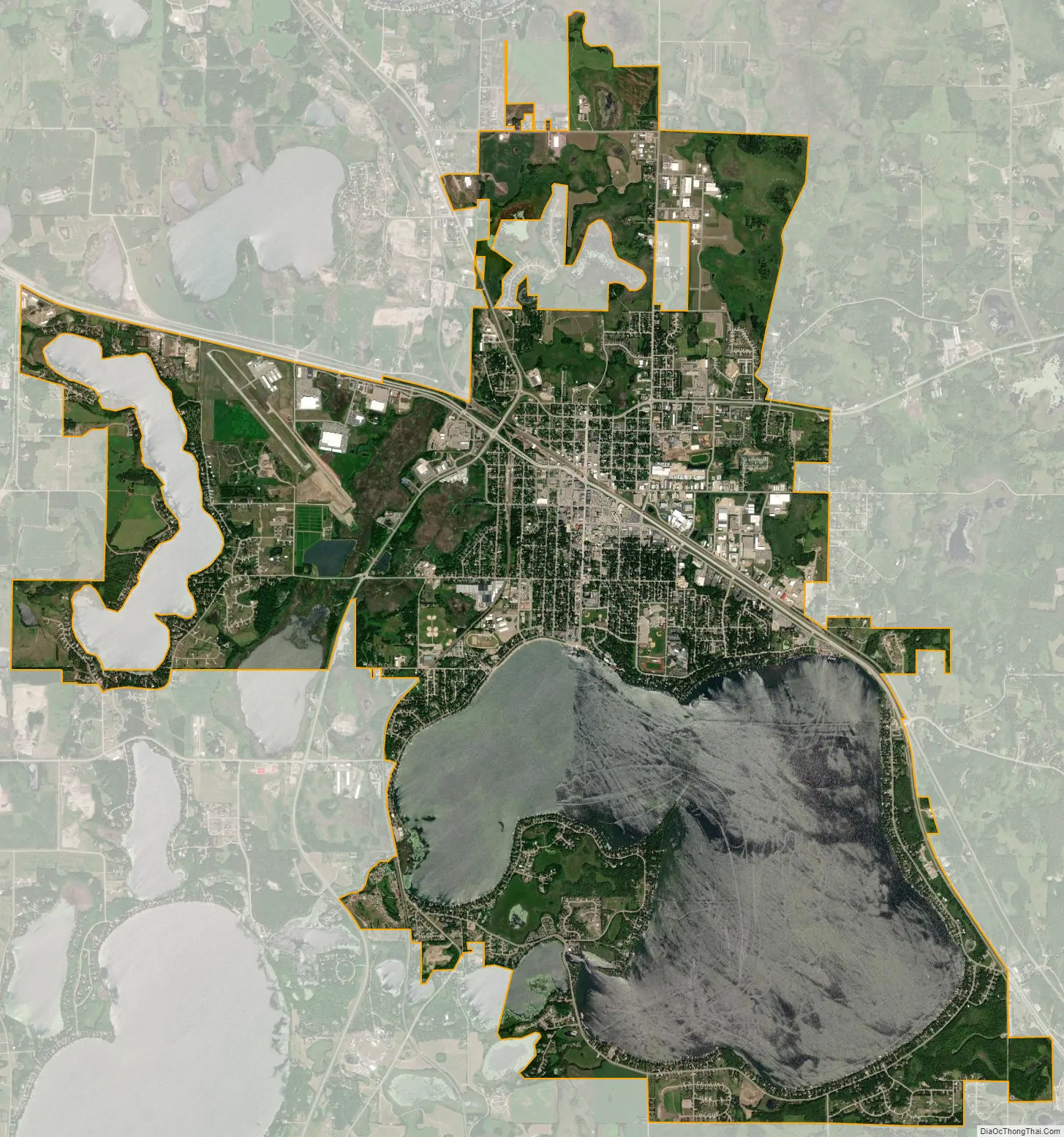
Detroit Lakes city Satellite Map
Geography
According to the United States Census Bureau, the city has a total area of 15.20 square miles (39.37 km), of which 10.22 square miles (26.47 km) is land and 4.98 square miles (12.90 km) is water.
See also
Map of Minnesota State and its subdivision:- Aitkin
- Anoka
- Becker
- Beltrami
- Benton
- Big Stone
- Blue Earth
- Brown
- Carlton
- Carver
- Cass
- Chippewa
- Chisago
- Clay
- Clearwater
- Cook
- Cottonwood
- Crow Wing
- Dakota
- Dodge
- Douglas
- Faribault
- Fillmore
- Freeborn
- Goodhue
- Grant
- Hennepin
- Houston
- Hubbard
- Isanti
- Itasca
- Jackson
- Kanabec
- Kandiyohi
- Kittson
- Koochiching
- Lac qui Parle
- Lake
- Lake of the Woods
- Lake Superior
- Le Sueur
- Lincoln
- Lyon
- Mahnomen
- Marshall
- Martin
- McLeod
- Meeker
- Mille Lacs
- Morrison
- Mower
- Murray
- Nicollet
- Nobles
- Norman
- Olmsted
- Otter Tail
- Pennington
- Pine
- Pipestone
- Polk
- Pope
- Ramsey
- Red Lake
- Redwood
- Renville
- Rice
- Rock
- Roseau
- Saint Louis
- Scott
- Sherburne
- Sibley
- Stearns
- Steele
- Stevens
- Swift
- Todd
- Traverse
- Wabasha
- Wadena
- Waseca
- Washington
- Watonwan
- Wilkin
- Winona
- Wright
- Yellow Medicine
- Alabama
- Alaska
- Arizona
- Arkansas
- California
- Colorado
- Connecticut
- Delaware
- District of Columbia
- Florida
- Georgia
- Hawaii
- Idaho
- Illinois
- Indiana
- Iowa
- Kansas
- Kentucky
- Louisiana
- Maine
- Maryland
- Massachusetts
- Michigan
- Minnesota
- Mississippi
- Missouri
- Montana
- Nebraska
- Nevada
- New Hampshire
- New Jersey
- New Mexico
- New York
- North Carolina
- North Dakota
- Ohio
- Oklahoma
- Oregon
- Pennsylvania
- Rhode Island
- South Carolina
- South Dakota
- Tennessee
- Texas
- Utah
- Vermont
- Virginia
- Washington
- West Virginia
- Wisconsin
- Wyoming