Harding is a city in Morrison County, Minnesota, United States, along the Platte River. The population was 123 at the 2020 census. Harding city overview: Name: Harding city LSAD Code: 25 LSAD Description: city (suffix) State: Minnesota County: Morrison County Elevation: 1,260 ft (384 m) Total Area: 3.10 sq mi (8.03 km²) Land Area: 3.10 sq mi (8.03 km²) Water Area: 0.00 sq mi (0.00 km²) ... Read more
Minnesota Cities and Places
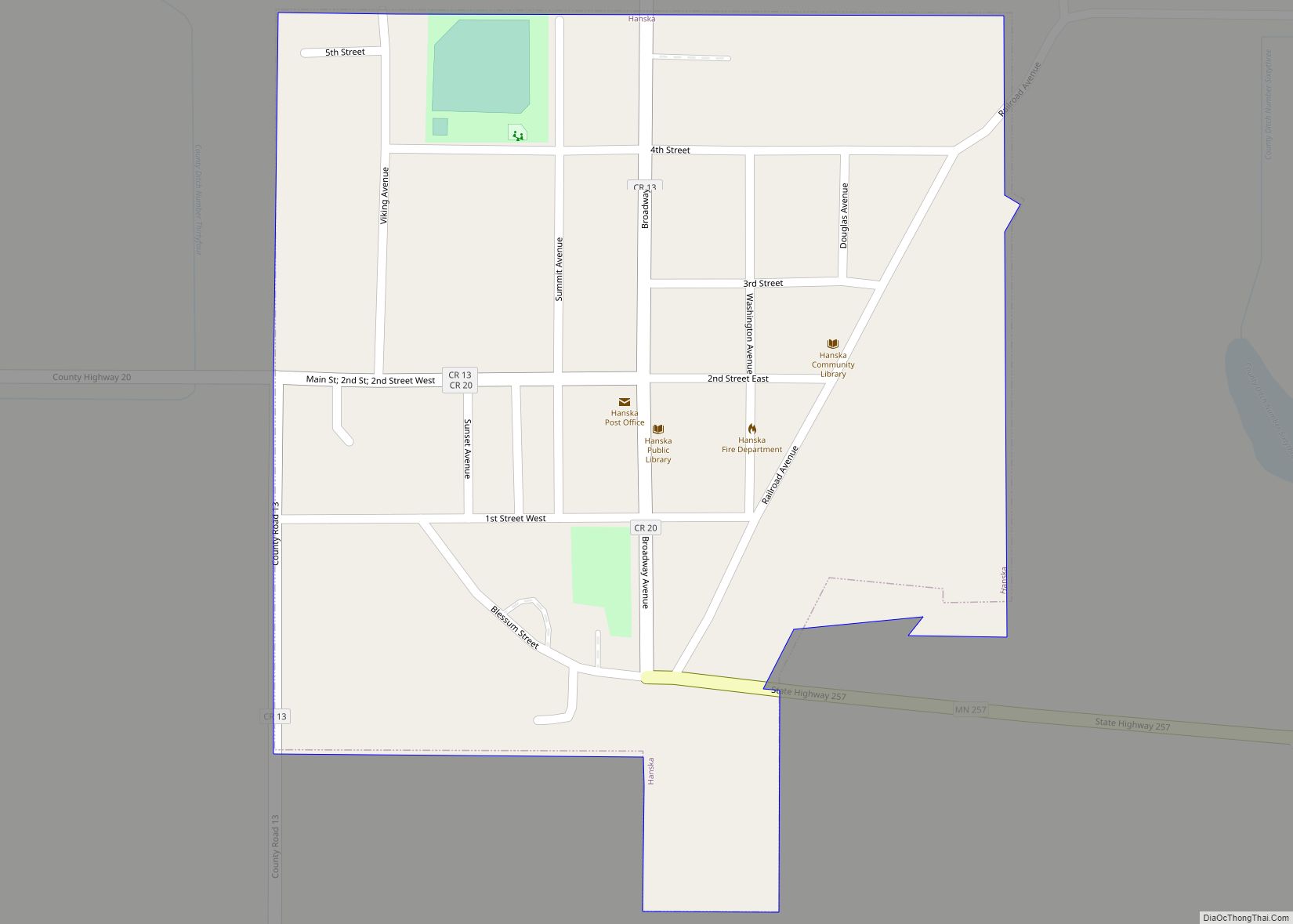
Hanska is a city in Brown County, Minnesota, United States. The population was 402 at the 2010 census. Hanska city overview: Name: Hanska city LSAD Code: 25 LSAD Description: city (suffix) State: Minnesota County: Brown County Elevation: 1,017 ft (310 m) Total Area: 0.25 sq mi (0.64 km²) Land Area: 0.25 sq mi (0.64 km²) Water Area: 0.00 sq mi (0.00 km²) Total Population: 382 Population ... Read more
Hanover is a city in Wright and Hennepin counties in the U.S. state of Minnesota. The population was 3,548 at the 2020 census. Hanover is mainly located within Wright County; only a small part of the city extends into Hennepin County. Even though Hanover is partly in the metropolitan county of Hennepin, it does not ... Read more
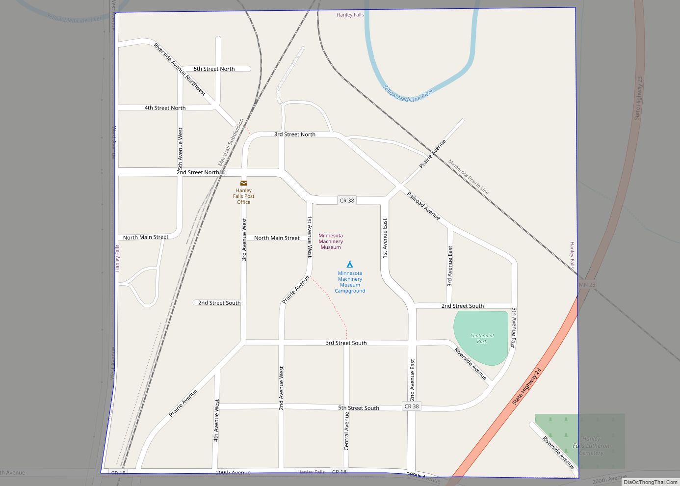
Hanley Falls is a city in Yellow Medicine County, Minnesota, United States. The population was 304 at the 2010 census. Hanley Falls city overview: Name: Hanley Falls city LSAD Code: 25 LSAD Description: city (suffix) State: Minnesota County: Yellow Medicine County Elevation: 1,047 ft (319 m) Total Area: 0.25 sq mi (0.65 km²) Land Area: 0.25 sq mi (0.65 km²) Water Area: 0.00 sq mi ... Read more
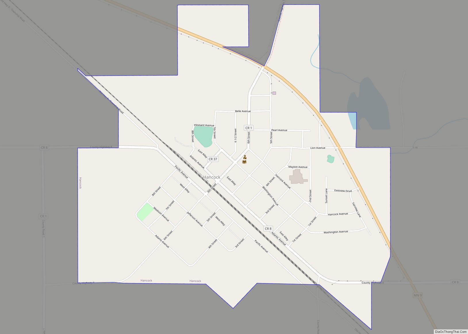
Hancock is a city in Stevens County, Minnesota, United States. The population was 863 at the 2020 census. Hancock city overview: Name: Hancock city LSAD Code: 25 LSAD Description: city (suffix) State: Minnesota County: Stevens County Elevation: 1,158 ft (353 m) Total Area: 0.90 sq mi (2.34 km²) Land Area: 0.90 sq mi (2.34 km²) Water Area: 0.00 sq mi (0.00 km²) Total Population: 863 Population ... Read more
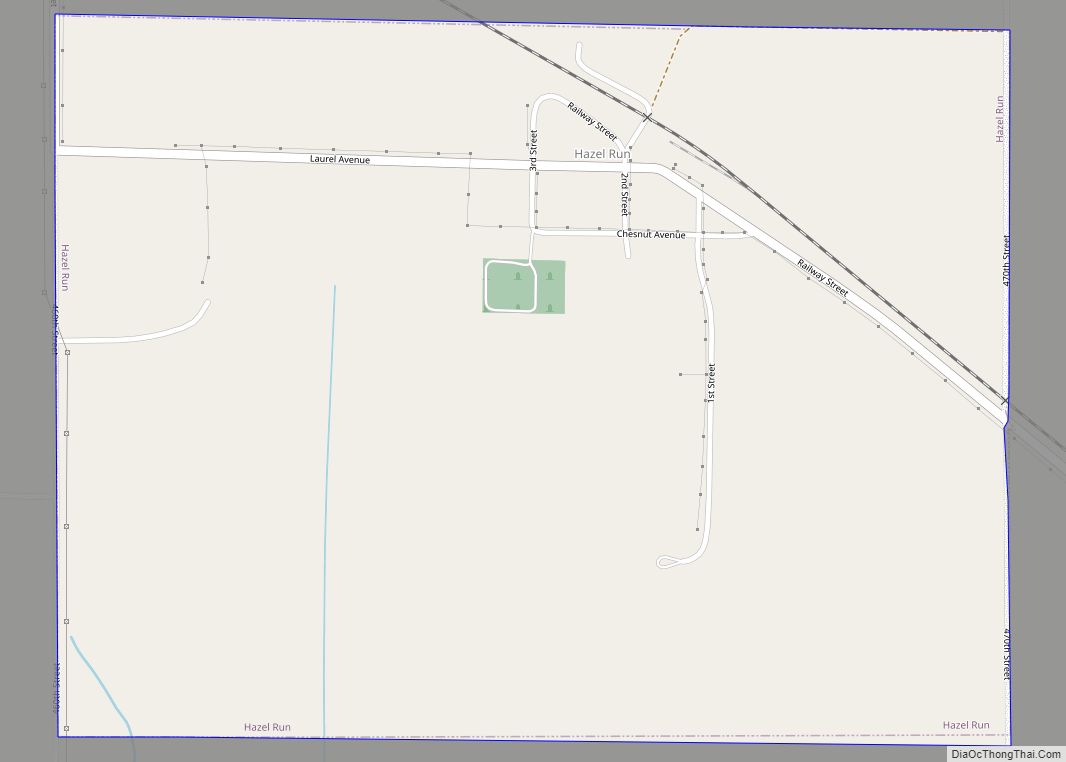
Hazel Run is a city in Yellow Medicine County, Minnesota, United States. The population was 63 at the 2010 census. Hazel Run city overview: Name: Hazel Run city LSAD Code: 25 LSAD Description: city (suffix) State: Minnesota County: Yellow Medicine County Elevation: 1,063 ft (324 m) Total Area: 0.76 sq mi (1.97 km²) Land Area: 0.76 sq mi (1.97 km²) Water Area: 0.00 sq mi ... Read more
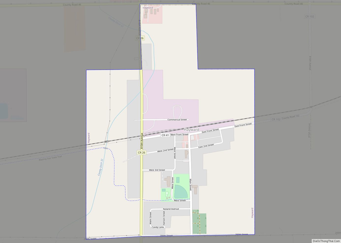
Hayward is a city in Freeborn County, Minnesota, United States, near Albert Lea. The population was 250 at the 2010 census. Hayward city overview: Name: Hayward city LSAD Code: 25 LSAD Description: city (suffix) State: Minnesota County: Freeborn County Elevation: 1,257 ft (383 m) Total Area: 0.61 sq mi (1.58 km²) Land Area: 0.61 sq mi (1.58 km²) Water Area: 0.00 sq mi (0.00 km²) Total ... Read more
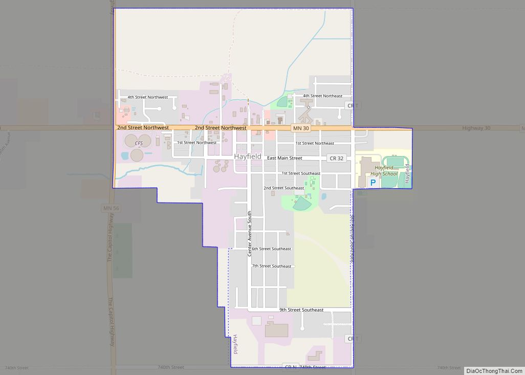
Hayfield is a city in Dodge County, Minnesota, United States. The population was 1,340 at the 2010 census. Hayfield city overview: Name: Hayfield city LSAD Code: 25 LSAD Description: city (suffix) State: Minnesota County: Dodge County Elevation: 1,319 ft (402 m) Total Area: 1.25 sq mi (3.24 km²) Land Area: 1.25 sq mi (3.24 km²) Water Area: 0.00 sq mi (0.00 km²) Total Population: 1,364 Population ... Read more
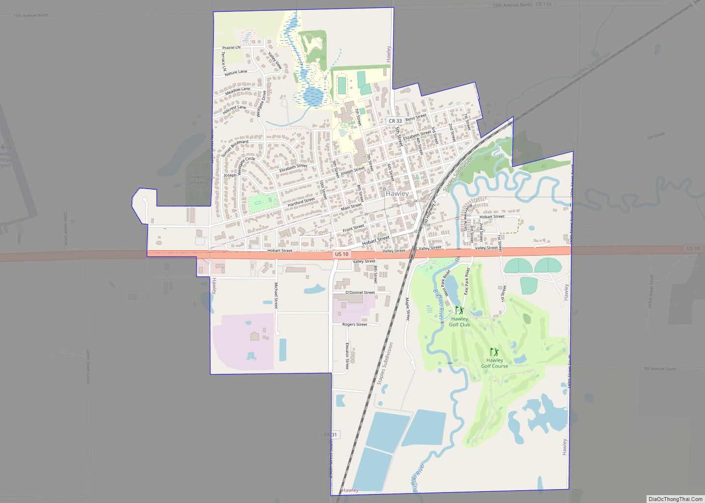
Hawley is a town in Clay County, Minnesota, United States, along the Buffalo River. The population was 2,219 at the 2020 census. The town went through six quick name changes after 1871 until, in 1872, it was finally named after Thomas Hawley Canfield, an officer in the Northern Pacific Railway, which laid out the town. ... Read more
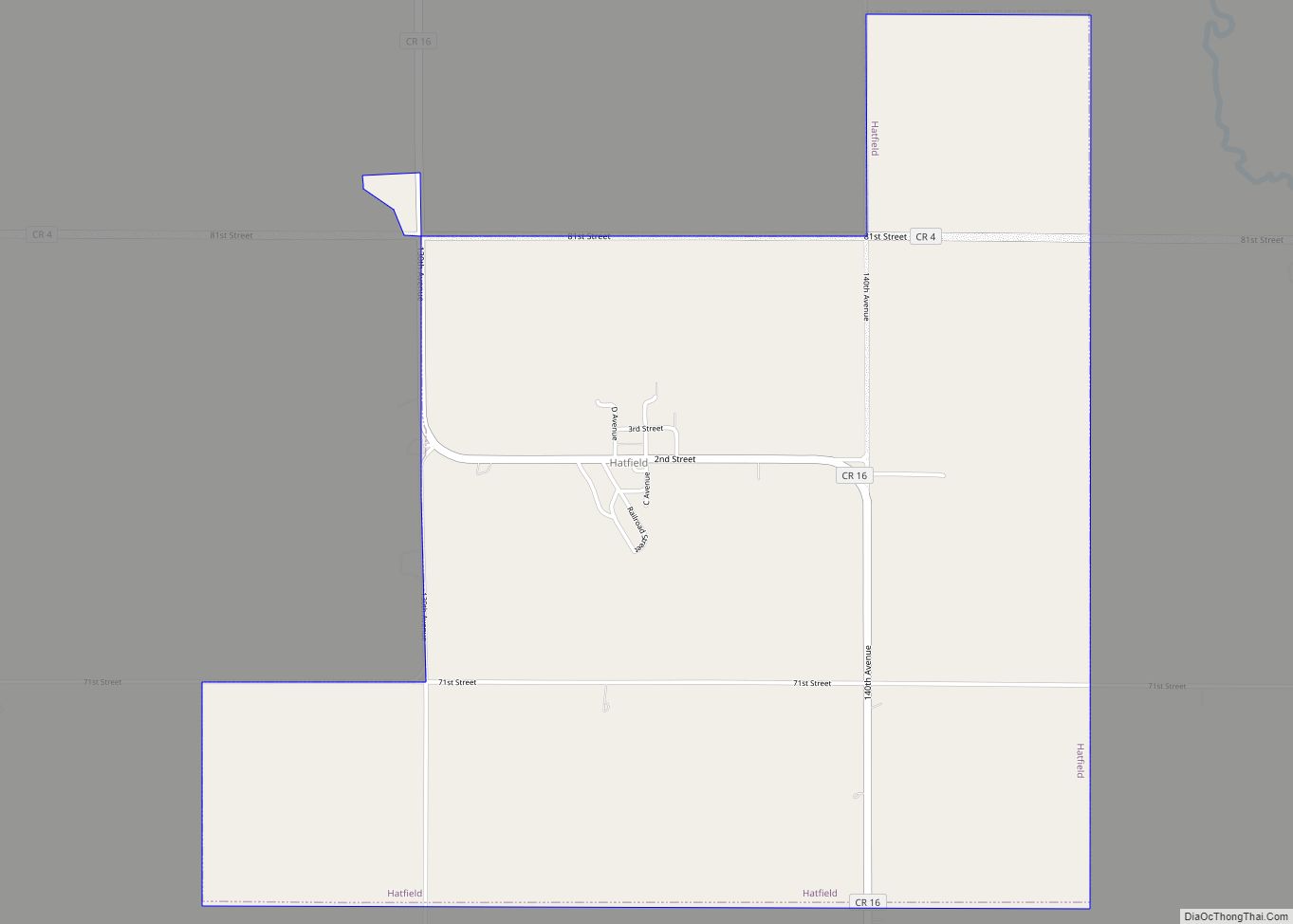
Hatfield is a city in Pipestone County, Minnesota, United States. The population was 54 at the 2010 census. Hatfield city overview: Name: Hatfield city LSAD Code: 25 LSAD Description: city (suffix) State: Minnesota County: Pipestone County Elevation: 1,680 ft (510 m) Total Area: 2.79 sq mi (7.23 km²) Land Area: 2.79 sq mi (7.23 km²) Water Area: 0.00 sq mi (0.00 km²) Total Population: 53 Population ... Read more
Hastings (/ˈheɪstɪŋz/ HAY-stingz) is a city mostly in Dakota County, Minnesota, of which it is the county seat, with a portion in Washington County, Minnesota, United States. It is near the confluence of the Mississippi, Vermillion, and St. Croix Rivers. The population was 22,154 at the 2020 census. It is named for the first elected ... Read more
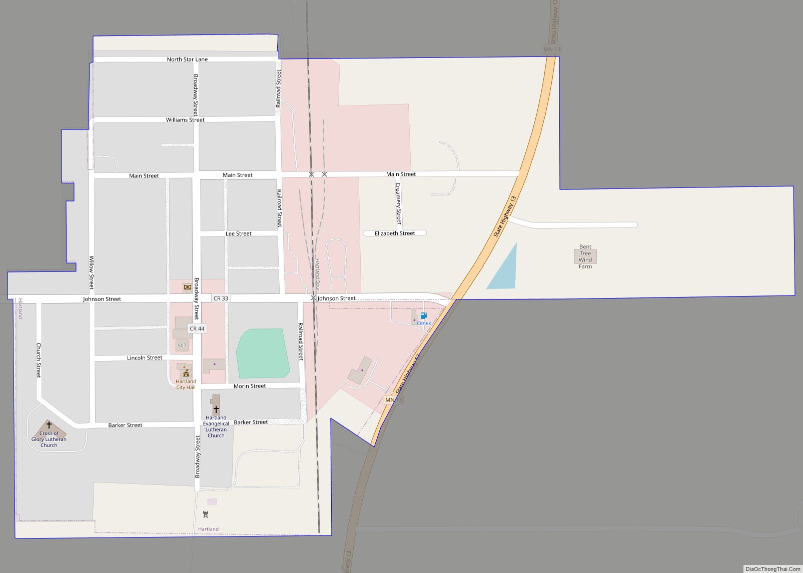
Hartland is a city in Freeborn County, Minnesota, United States. The population was 315 at the 2010 census. Hartland city overview: Name: Hartland city LSAD Code: 25 LSAD Description: city (suffix) State: Minnesota County: Freeborn County Elevation: 1,263 ft (385 m) Total Area: 0.27 sq mi (0.70 km²) Land Area: 0.27 sq mi (0.70 km²) Water Area: 0.00 sq mi (0.00 km²) Total Population: 321 Population ... Read more

