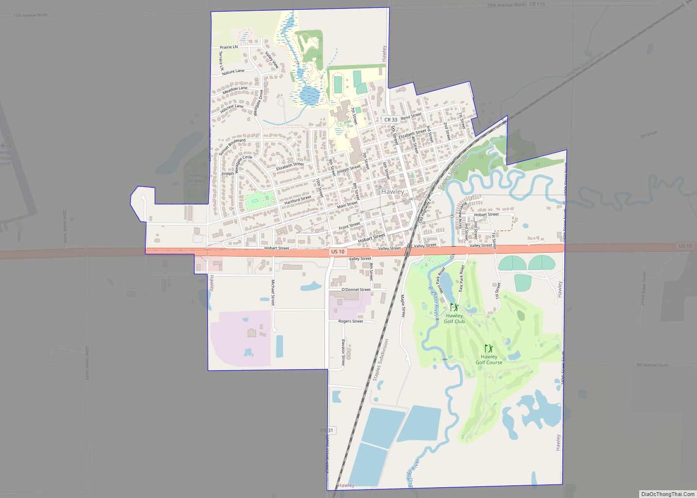
Hawley is a town in Clay County, Minnesota, United States, along the Buffalo River. The population was 2,219 at the 2020 census. The town went through six quick name changes after 1871 until, in 1872, it was finally named after Thomas Hawley Canfield, an officer in the Northern Pacific Railway, which laid out the town. ... Read more
Minnesota Cities and Places
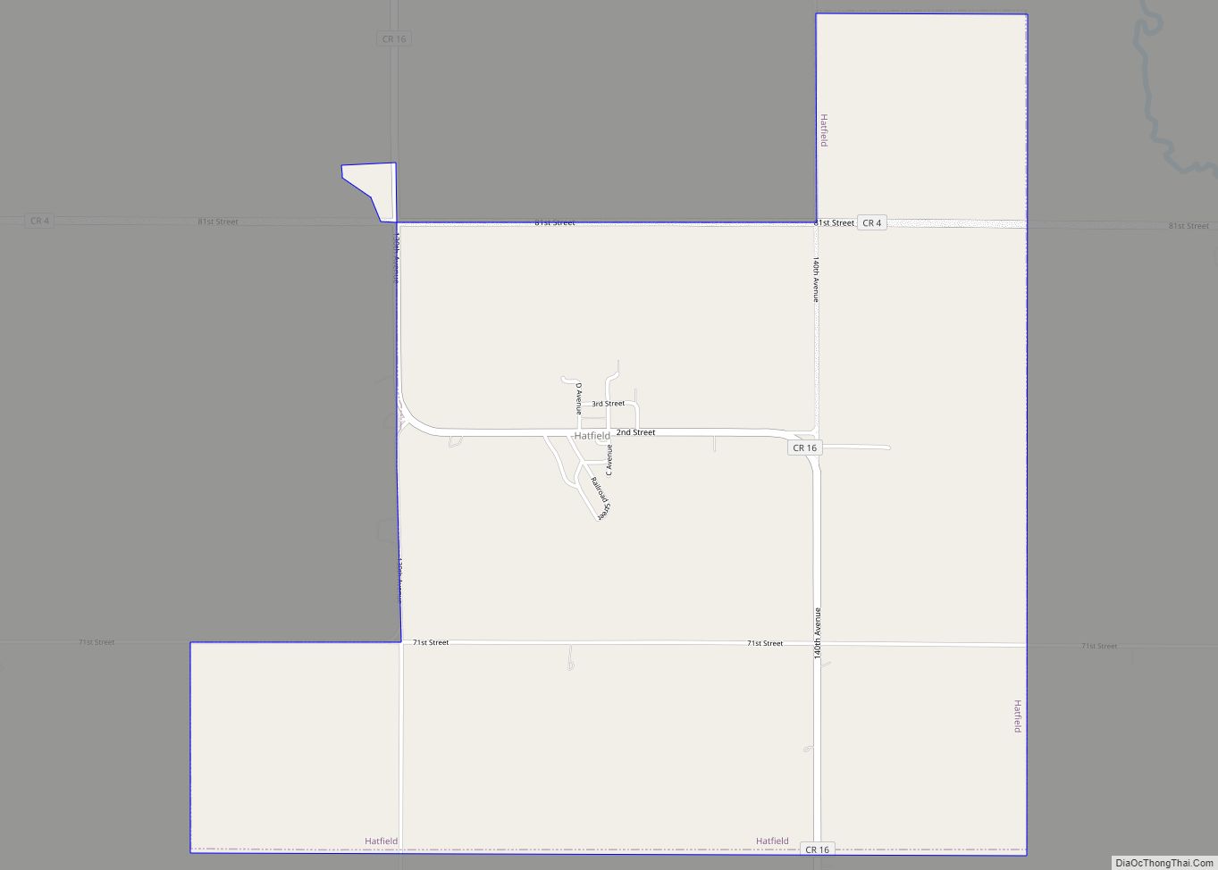
Hatfield is a city in Pipestone County, Minnesota, United States. The population was 54 at the 2010 census. Hatfield city overview: Name: Hatfield city LSAD Code: 25 LSAD Description: city (suffix) State: Minnesota County: Pipestone County Elevation: 1,680 ft (510 m) Total Area: 2.79 sq mi (7.23 km²) Land Area: 2.79 sq mi (7.23 km²) Water Area: 0.00 sq mi (0.00 km²) Total Population: 53 Population ... Read more
Hastings (/ˈheɪstɪŋz/ HAY-stingz) is a city mostly in Dakota County, Minnesota, of which it is the county seat, with a portion in Washington County, Minnesota, United States. It is near the confluence of the Mississippi, Vermillion, and St. Croix Rivers. The population was 22,154 at the 2020 census. It is named for the first elected ... Read more
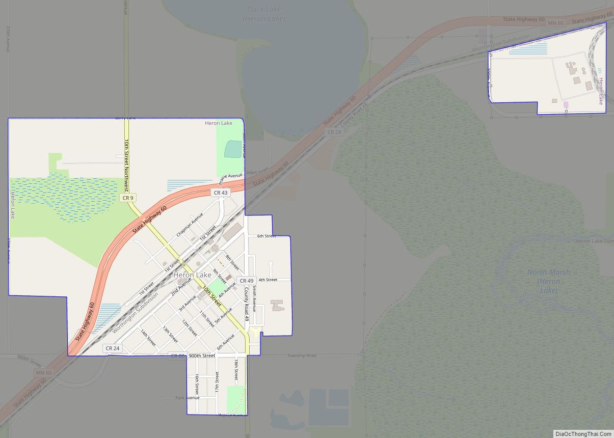
Heron Lake is a city in Jackson County, Minnesota, United States. The population was 698 at the 2010 census. Heron Lake city overview: Name: Heron Lake city LSAD Code: 25 LSAD Description: city (suffix) State: Minnesota County: Jackson County Elevation: 1,424 ft (434 m) Total Area: 1.24 sq mi (3.22 km²) Land Area: 1.24 sq mi (3.22 km²) Water Area: 0.00 sq mi (0.00 km²) Total ... Read more
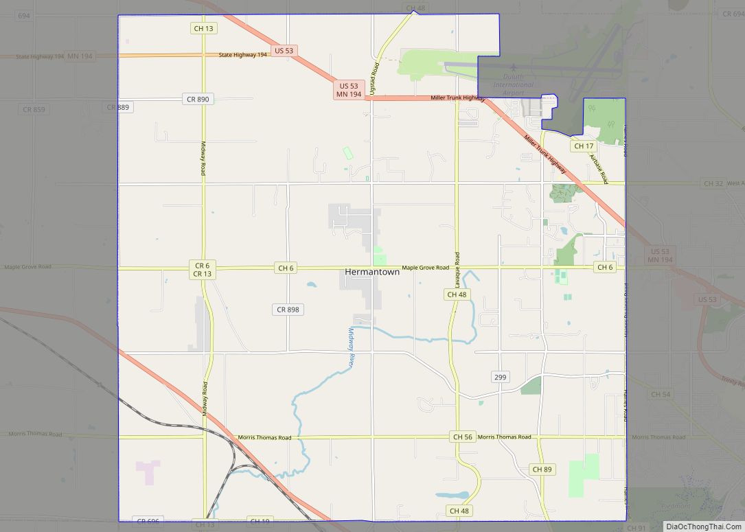
Hermantown is a city in Saint Louis County, Minnesota, United States. The population was 10,221 at the 2020 census. A suburb of Duluth, it was at one point the county’s only city to grow in population, as much of the area’s residential and commercial expansion occurred there. Hermantown is near the tip of Lake Superior. ... Read more
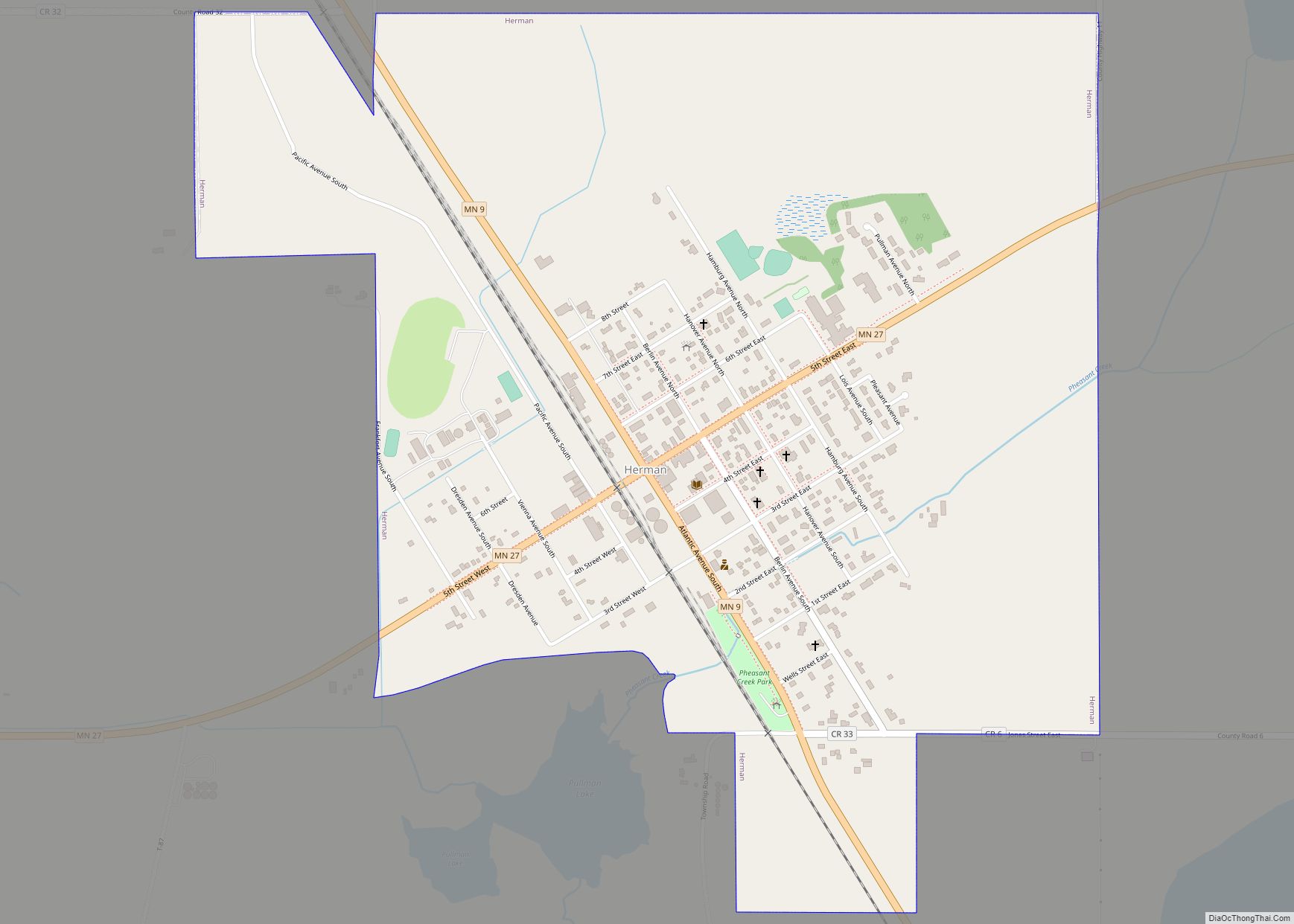
Herman is a city in Grant County, Minnesota, United States. The population was 437 at the 2010 census. Herman city overview: Name: Herman city LSAD Code: 25 LSAD Description: city (suffix) State: Minnesota County: Grant County Elevation: 1,073 ft (327 m) Total Area: 1.11 sq mi (2.87 km²) Land Area: 1.11 sq mi (2.87 km²) Water Area: 0.00 sq mi (0.00 km²) Total Population: 384 Population ... Read more
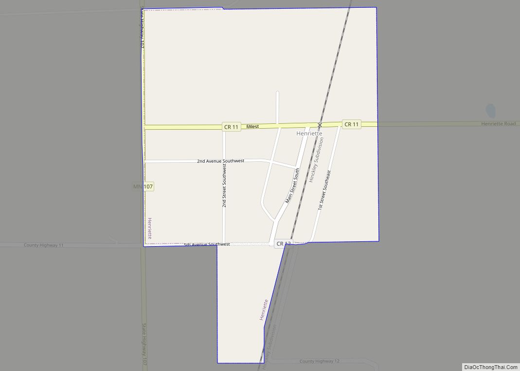
Henriette, is a city in Pine County, Minnesota, United States. The population was 71 at the 2010 census. Henriette was founded as Cornell. Henriette city overview: Name: Henriette city LSAD Code: 25 LSAD Description: city (suffix) State: Minnesota County: Pine County Incorporated: March 13, 1920 Elevation: 994 ft (303 m) Total Area: 0.28 sq mi (0.73 km²) Land Area: 0.28 sq mi ... Read more
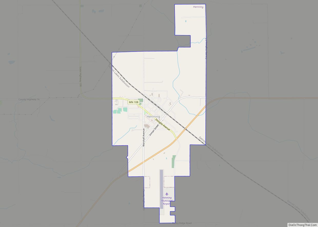
Henning is a city in Otter Tail County, Minnesota, United States. The population was 854 at the 2020 census. Henning city overview: Name: Henning city LSAD Code: 25 LSAD Description: city (suffix) State: Minnesota County: Otter Tail County Incorporated: 1887 Elevation: 1,434 ft (437 m) Total Area: 3.34 sq mi (8.66 km²) Land Area: 3.30 sq mi (8.56 km²) Water Area: 0.04 sq mi (0.11 km²) ... Read more
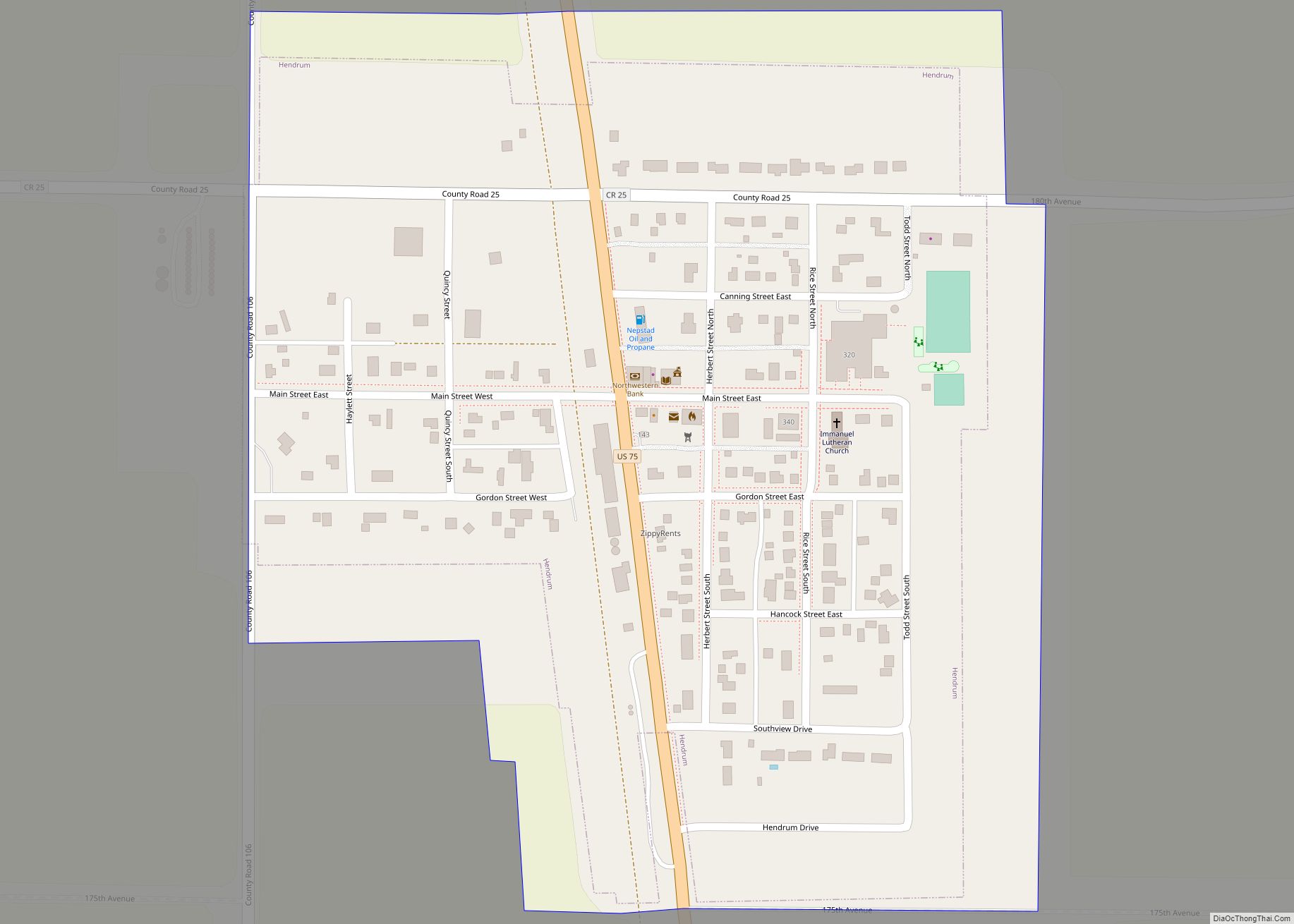
Hendrum is a city in Norman County, Minnesota, United States, in the Red River Valley between the Red River of the North and the Wild Rice River. The population was 289 as of the 2020 census. Hendrum city overview: Name: Hendrum city LSAD Code: 25 LSAD Description: city (suffix) State: Minnesota County: Norman County Elevation: ... Read more
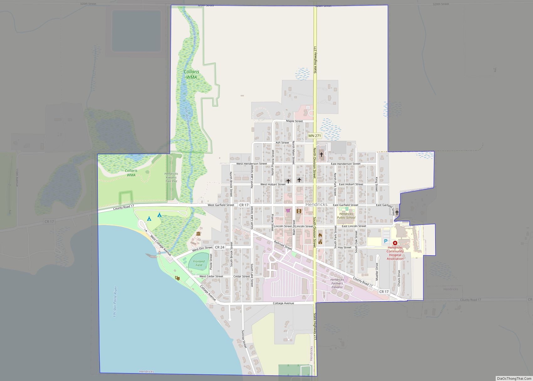
Hendricks is a city in Lincoln County, Minnesota, United States. The population was 713 at the 2010 census. Hendricks city overview: Name: Hendricks city LSAD Code: 25 LSAD Description: city (suffix) State: Minnesota County: Lincoln County Elevation: 1,788 ft (545 m) Total Area: 0.97 sq mi (2.51 km²) Land Area: 0.97 sq mi (2.51 km²) Water Area: 0.00 sq mi (0.00 km²) Total Population: 616 Population ... Read more
Henderson is a city in Sibley County, Minnesota, United States. The population in was 886 at the 2010 census. Henderson city overview: Name: Henderson city LSAD Code: 25 LSAD Description: city (suffix) State: Minnesota County: Sibley County Elevation: 420 ft (69 m) Total Area: 1.10 sq mi (2.86 km²) Land Area: 1.07 sq mi (2.78 km²) Water Area: 0.03 sq mi (0.08 km²) Total Population: 960 ... Read more
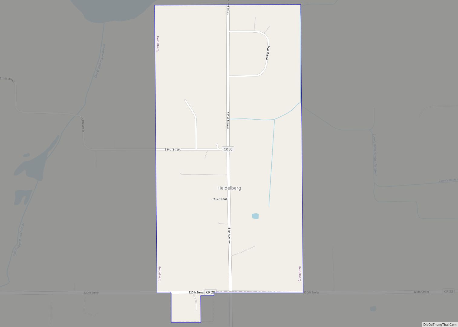
Heidelberg is a city in Le Sueur County, Minnesota, United States. The population was 122 at the 2010 census. Heidelberg city overview: Name: Heidelberg city LSAD Code: 25 LSAD Description: city (suffix) State: Minnesota County: Le Sueur County Elevation: 1,053 ft (321 m) Total Area: 0.52 sq mi (1.36 km²) Land Area: 0.52 sq mi (1.36 km²) Water Area: 0.00 sq mi (0.00 km²) Total Population: ... Read more
