Lexington is a city in Anoka County, Minnesota, United States, and is a northern suburb of the Twin Cities metropolitan area. The population was 2,049 at the 2010 census. Lexington city overview: Name: Lexington city LSAD Code: 25 LSAD Description: city (suffix) State: Minnesota County: Anoka County Elevation: 912 ft (278 m) Total Area: 0.69 sq mi (1.79 km²) Land ... Read more
Minnesota Cities and Places
Littlefork is a city in Koochiching County, Minnesota, United States. The population was 553 at the 2020 census. U.S. Highway 71 and state highways 65 and 217 are three of the main routes in Littlefork. Littlefork city overview: Name: Littlefork city LSAD Code: 25 LSAD Description: city (suffix) State: Minnesota County: Koochiching County Elevation: 1,115 ft ... Read more
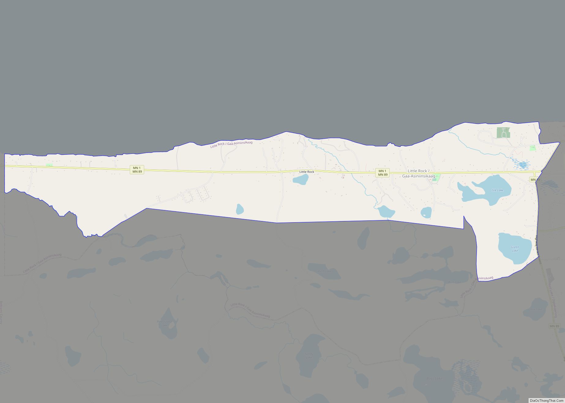
Little Rock (Ojibwe: Gaa-Asiniinsikaag) is a census-designated place (CDP) within the Lower Red Lake unorganized territory in Beltrami County, Minnesota, United States. The population was 1,208 at the 2010 census. Little Rock CDP overview: Name: Little Rock CDP LSAD Code: 57 LSAD Description: CDP (suffix) State: Minnesota County: Beltrami County Elevation: 1,197 ft (365 m) Total Area: ... Read more
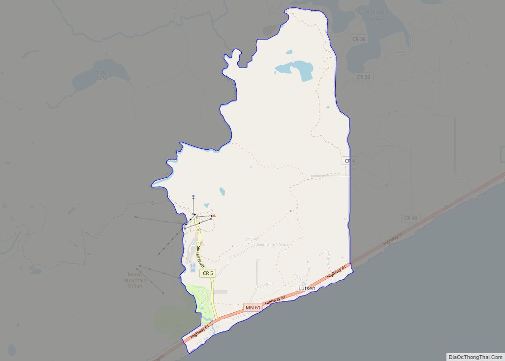
Lutsen (/ˈluːtsən/ LOOT-sən) is an unincorporated community and census-designated place (CDP) in Lutsen Township, Cook County, Minnesota, United States. As of the 2020 census, its population was 220. Lutsen is located within the Superior National Forest, on the North Shore of Lake Superior. It is 18 miles southwest of the city of Grand Marais; and ... Read more
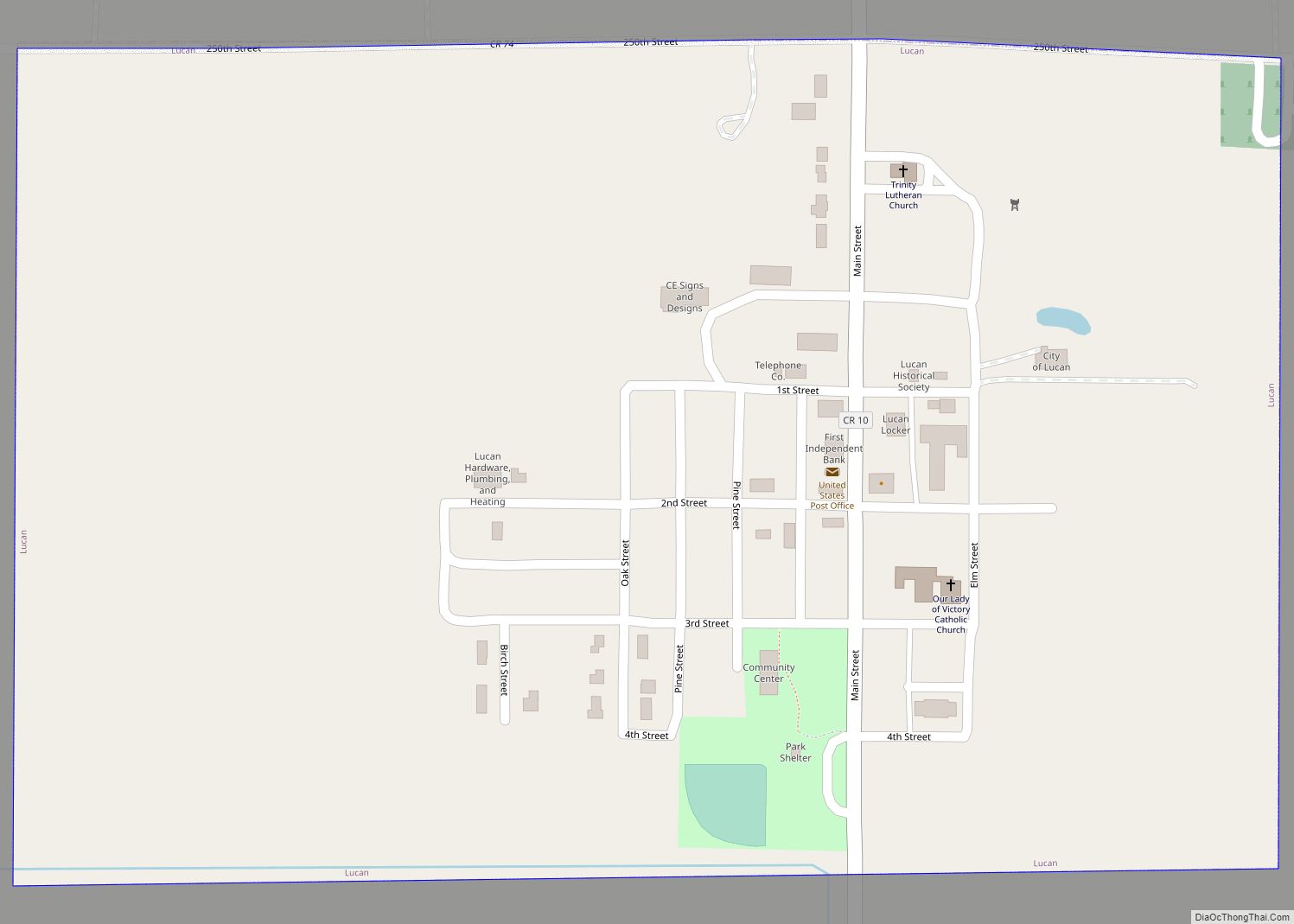
Lucan is a city in Redwood County, Minnesota, United States. The population was 191 at the 2010 census. Lucan city overview: Name: Lucan city LSAD Code: 25 LSAD Description: city (suffix) State: Minnesota County: Redwood County Elevation: 1,089 ft (332 m) Total Area: 0.40 sq mi (1.02 km²) Land Area: 0.40 sq mi (1.02 km²) Water Area: 0.00 sq mi (0.00 km²) Total Population: 214 Population ... Read more
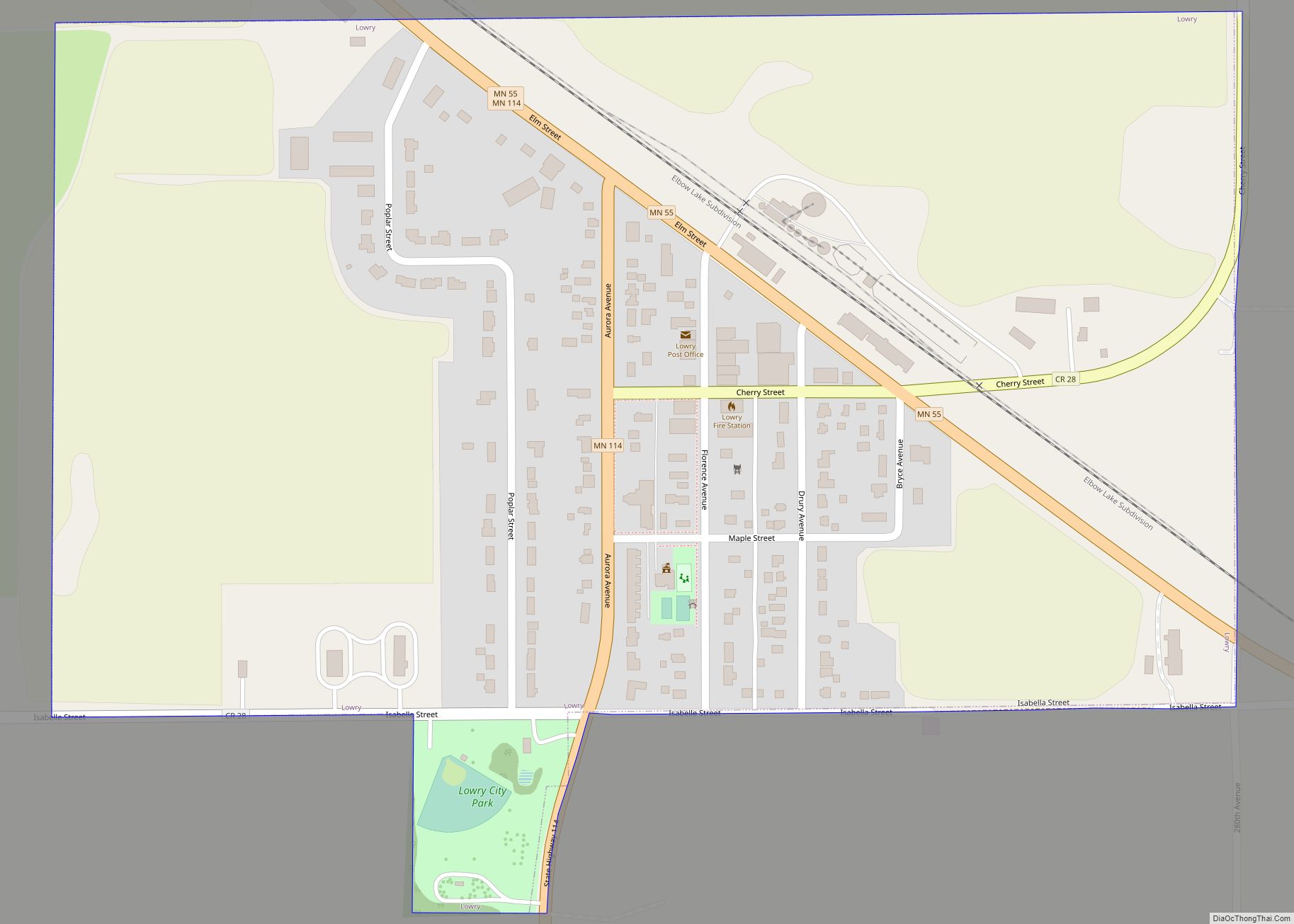
Lowry is a city in Pope County, Minnesota, United States. The population was 334 at the 2020 census. Lowry city overview: Name: Lowry city LSAD Code: 25 LSAD Description: city (suffix) State: Minnesota County: Pope County Founded: March 1887 Incorporated: May 5, 1896 Elevation: 1,371 ft (418 m) Total Area: 0.45 sq mi (1.17 km²) Land Area: 0.45 sq mi (1.17 km²) Water ... Read more
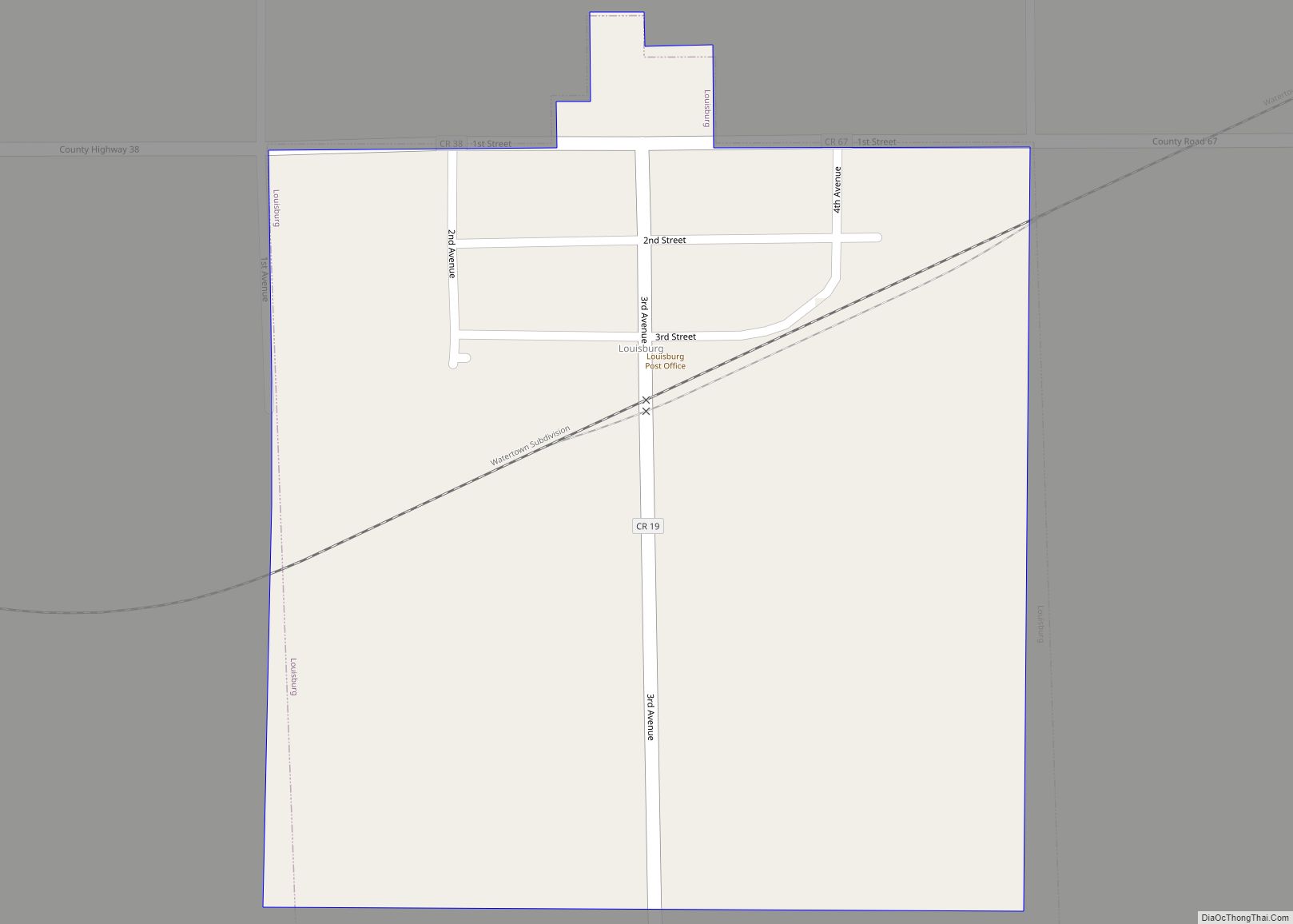
Louisburg is a very small, unincorporated town in Lac qui Parle County, Minnesota, United States. The population was 47 at the 2010 census. Louisburg city overview: Name: Louisburg city LSAD Code: 25 LSAD Description: city (suffix) State: Minnesota County: Lac qui Parle County Elevation: 1,040 ft (320 m) Total Area: 0.25 sq mi (0.66 km²) Land Area: 0.25 sq mi (0.66 km²) Water ... Read more
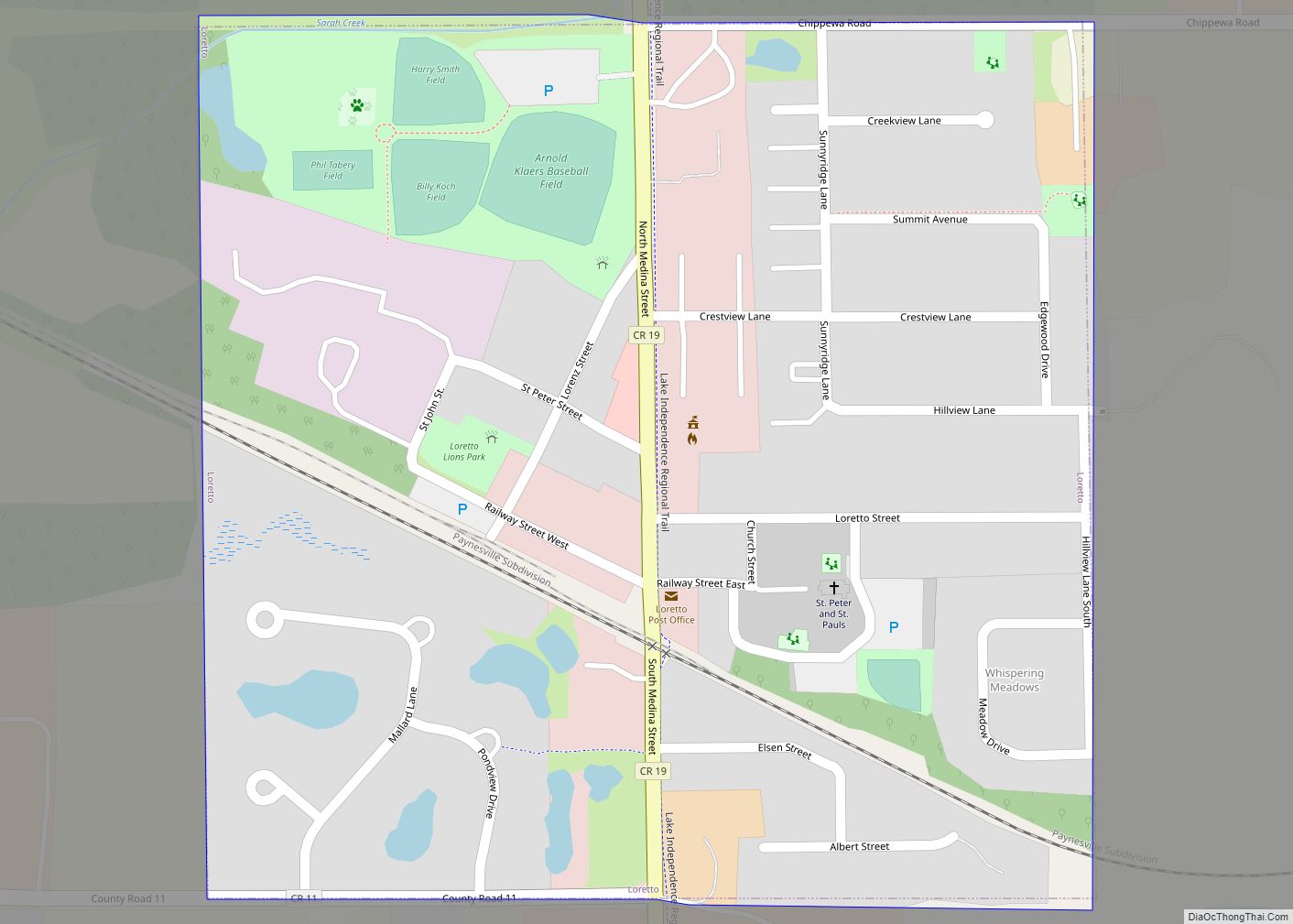
Loretto is a small rural city in Hennepin County, Minnesota, United States. The population was 650 at the 2010 census. Loretto city overview: Name: Loretto city LSAD Code: 25 LSAD Description: city (suffix) State: Minnesota County: Hennepin County Founded: 1886 Incorporated: 1940 Elevation: 1,014 ft (309 m) Land Area: 0.26 sq mi (0.67 km²) Water Area: 0.00 sq mi (0.00 km²) Population Density: ... Read more
Lonsdale is a city in Rice County, Minnesota, United States. The population was 4,686 at the 2020 census, with a 2023 estimate of 5,009. A fast growing exurb of the Minneapolis-Saint Paul metropolitan area, Lonsdale is located 40 miles south of downtown Minneapolis. Lonsdale city overview: Name: Lonsdale city LSAD Code: 25 LSAD Description: city ... Read more
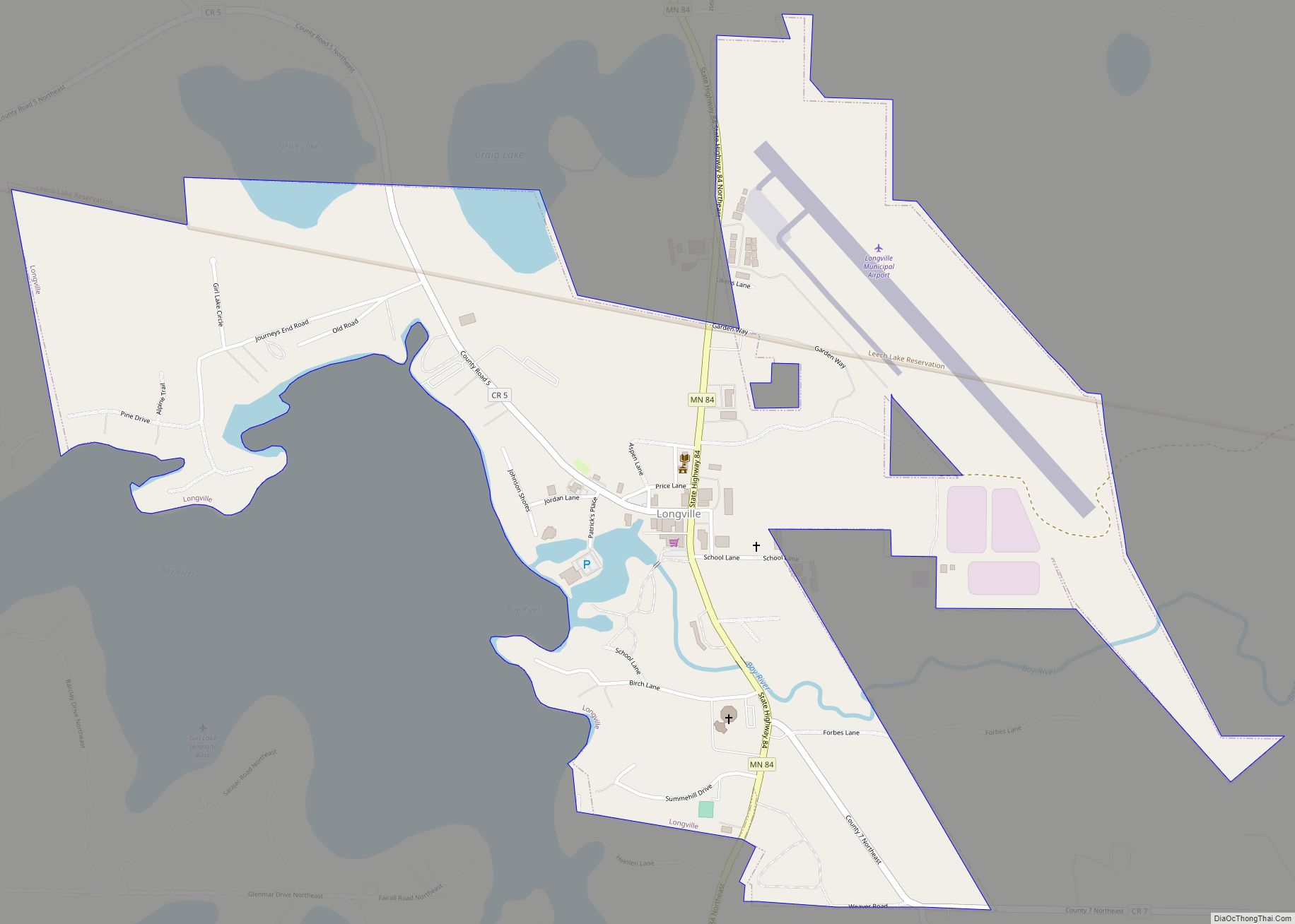
Longville pronunciation (help·info) is a city in Cass County, Minnesota, United States. The population was 156 at the 2010 census. The city was named after its founder, Jim Long. It is roughly four hours north of the Twin Cities. It is part of the Brainerd Micropolitan Statistical Area. Minnesota State Highway 84 serves as a main ... Read more
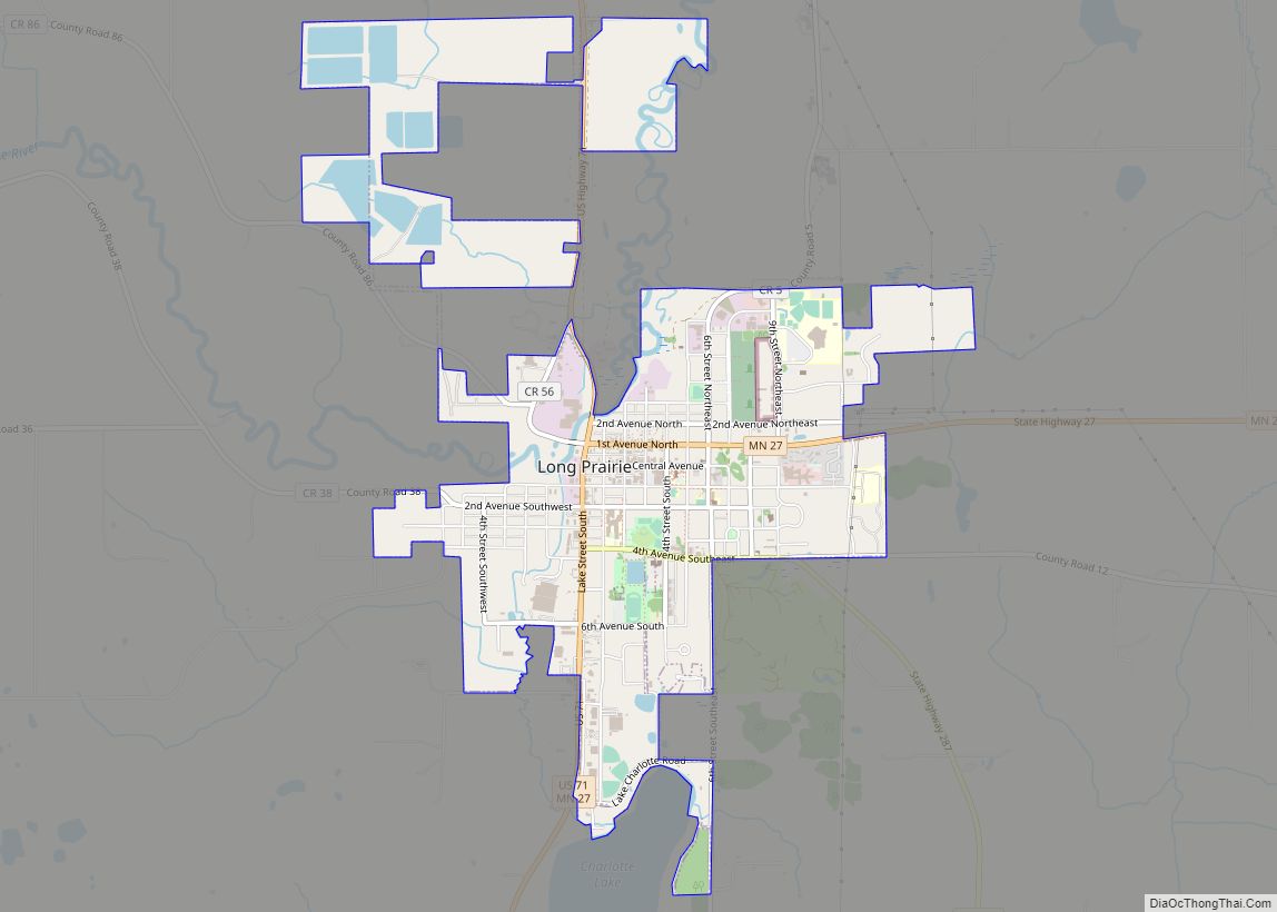
Long Prairie is a town in Todd County, Minnesota, United States. The population was 3,458 at the 2010 census. It is the county seat. and the oldest town in the County. Long Prairie city overview: Name: Long Prairie city LSAD Code: 25 LSAD Description: city (suffix) State: Minnesota County: Todd County Elevation: 1,293 ft (394 m) Total ... Read more
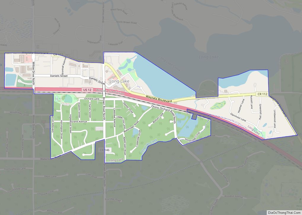
Long Lake is a small city in Hennepin County, Minnesota, United States named after the lake the eastern end of town lies on. A commercial hub for the surrounding communities, Long Lake is home to many local shops and businesses. U.S. Highway 12 runs through the town. The population was 1,768 at the 2010 census. ... Read more


