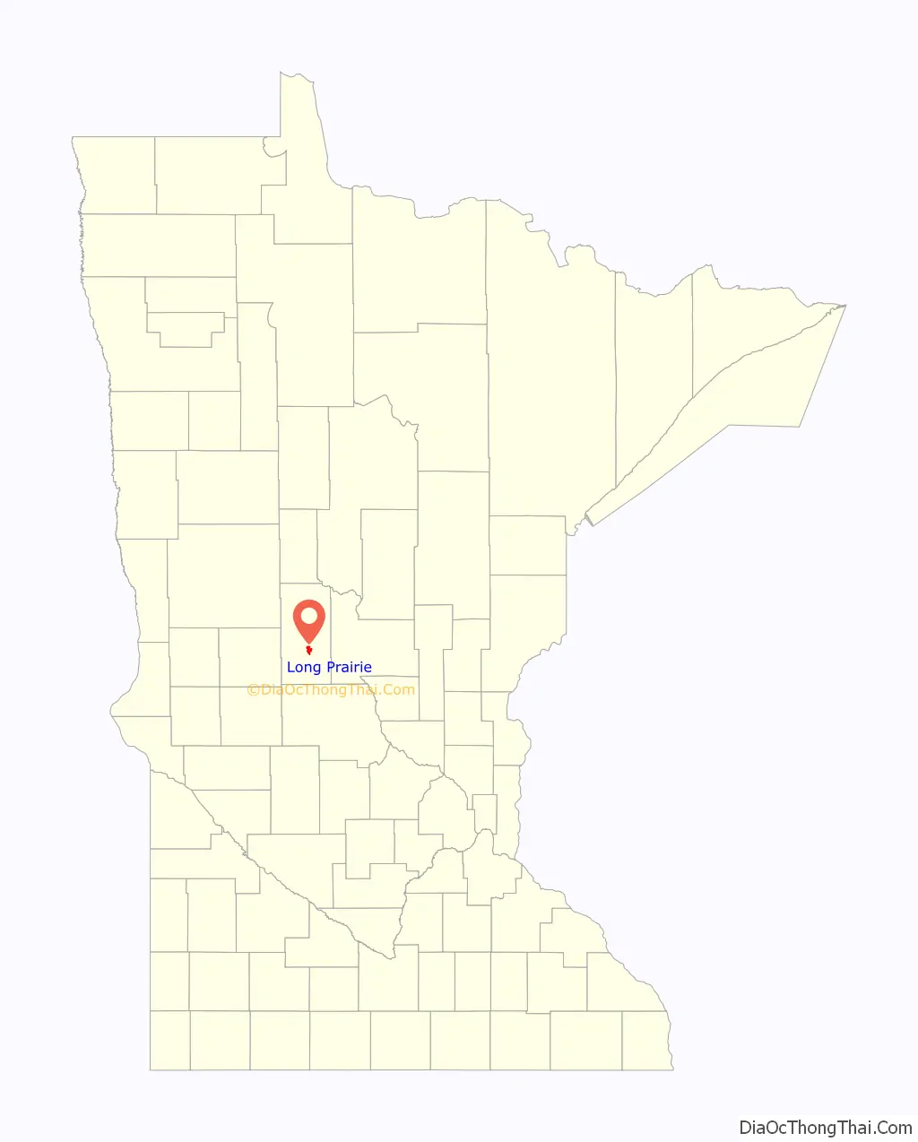
Long Prairie is a town in Todd County, Minnesota, United States. The population was 3,458 at the 2010 census. It is the county seat. and the oldest town in the County.
| Name: | Long Prairie city |
|---|---|
| LSAD Code: | 25 |
| LSAD Description: | city (suffix) |
| State: | Minnesota |
| County: | Todd County |
| Elevation: | 1,293 ft (394 m) |
| Total Area: | 2.82 sq mi (7.31 km²) |
| Land Area: | 2.75 sq mi (7.11 km²) |
| Water Area: | 0.08 sq mi (0.20 km²) |
| Total Population: | 3,661 |
| Population Density: | 1,333.21/sq mi (514.71/km²) |
| ZIP code: | 56347 |
| Area code: | 320 |
| FIPS code: | 2738060 |
| GNISfeature ID: | 0647139 |
| Website: | www.longprairie.net |
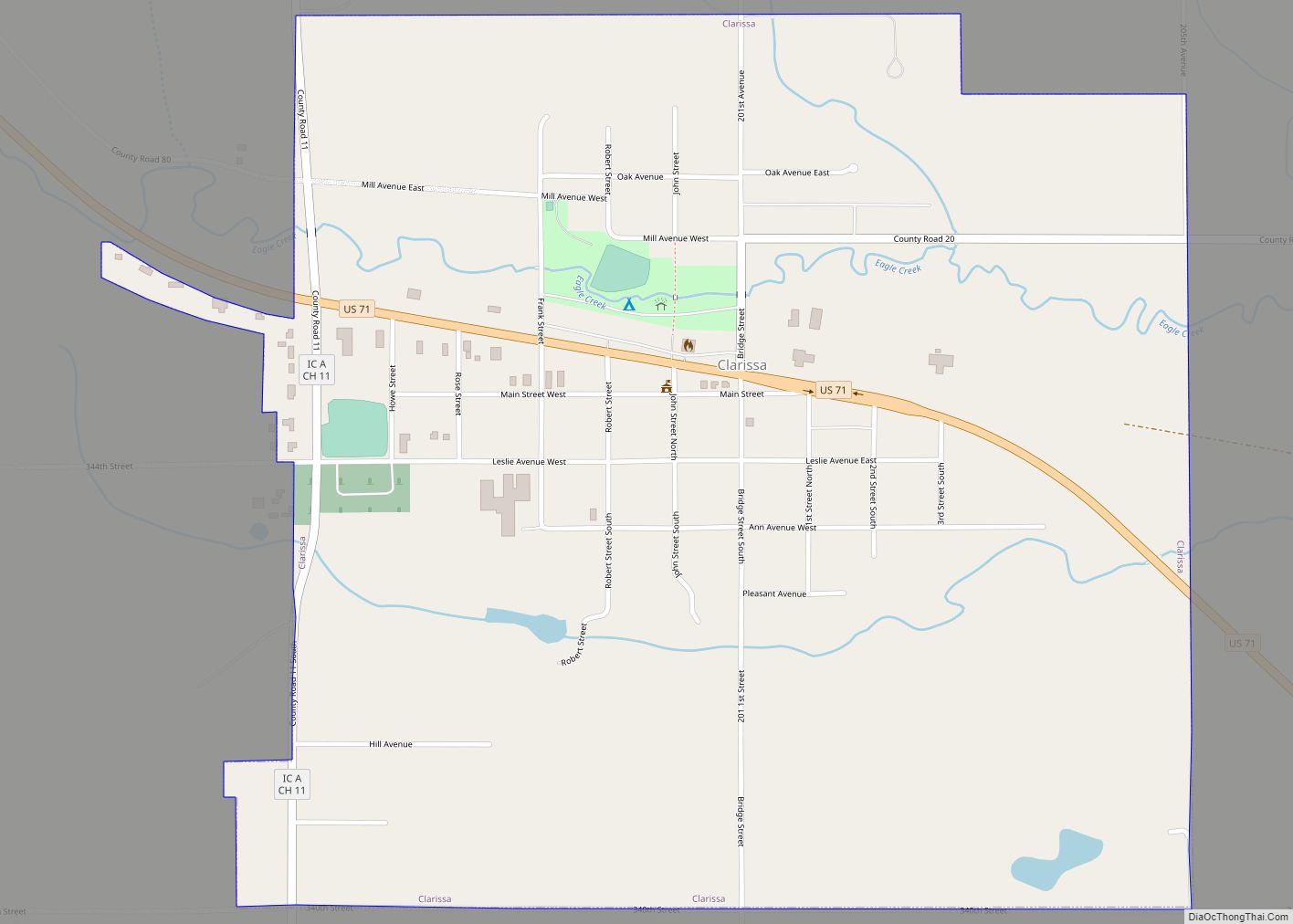
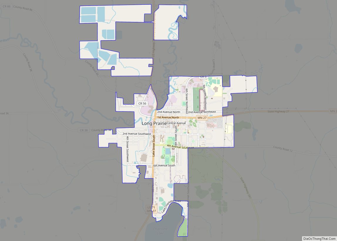
Online Interactive Map
Click on ![]() to view map in "full screen" mode.
to view map in "full screen" mode.
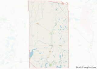
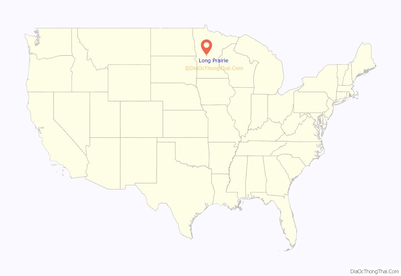
Long Prairie location map. Where is Long Prairie city?
History
Long Prairie’s history dates back to the time when the land was inhabited first by the Sioux/Dakota and then Anishinaabe/ Ojibwe Native American tribes. In 1845, the U.S. government selected the location known as Long Prairie as a site for a USA Indian agency. An 1846 treaty with the Winnebago briefly resettled the nation in what is now Long Prairie, from the Neutral Ground in northeast Iowa to which they had been removed in the 1830s as white settlers claimed and began developing their ancestral lands in Wisconsin and Illinois. A subsequent treaty in 1855 again resettled the Hochunk in southern Minnesota.
Long Prairie was platted in 1867, and named after the Long Prairie River.
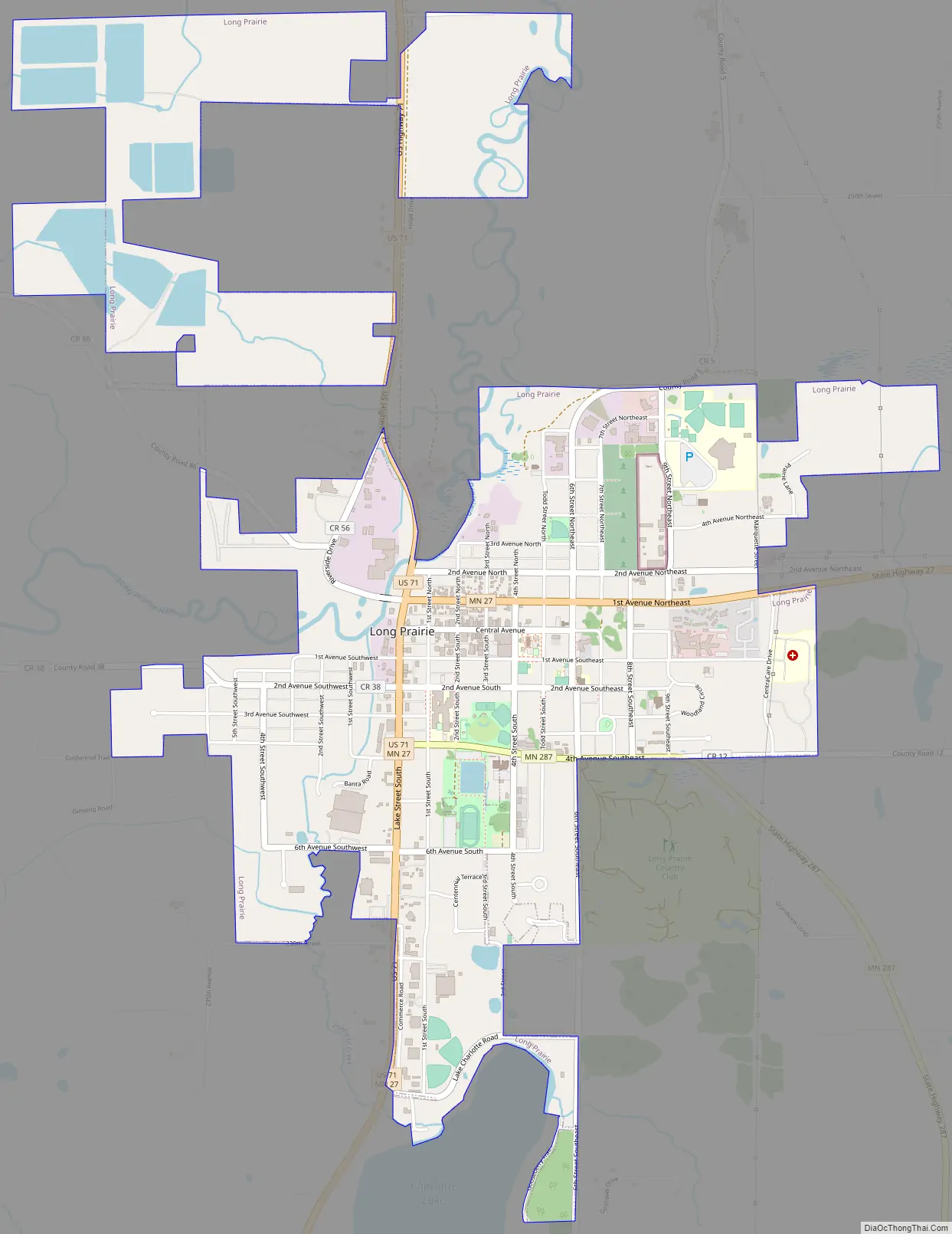
Long Prairie Road Map
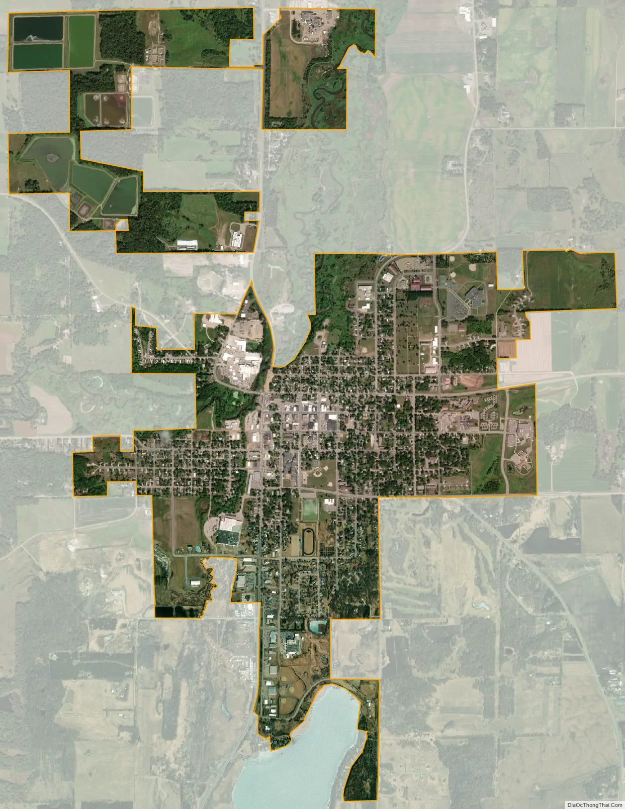
Long Prairie city Satellite Map
Geography
According to the United States Census Bureau, the city has a total area of 2.67 square miles (6.92 km); 2.61 square miles (6.76 km) is land and 0.06 square miles (0.16 km) is water. The Long Prairie River, flowing North, goes through the city. Lake Charlotte borders it on the South Venewitz Creek flows from Lake Charlotte and joins the Long Prairie River in the town. Long Prairie is favorably located in the North Central Hardwood Forest Region of Central Minnesota.
U.S. Highway 71 and Minnesota State Highways 27 and 287 are three of the main routes in the city. Todd County Roads 5 and 38 originate in the town.
Long Prairie has a warm-summer humid continental climate (Koppen Dfb) with cold winters and generally warm summers.
See also
Map of Minnesota State and its subdivision:- Aitkin
- Anoka
- Becker
- Beltrami
- Benton
- Big Stone
- Blue Earth
- Brown
- Carlton
- Carver
- Cass
- Chippewa
- Chisago
- Clay
- Clearwater
- Cook
- Cottonwood
- Crow Wing
- Dakota
- Dodge
- Douglas
- Faribault
- Fillmore
- Freeborn
- Goodhue
- Grant
- Hennepin
- Houston
- Hubbard
- Isanti
- Itasca
- Jackson
- Kanabec
- Kandiyohi
- Kittson
- Koochiching
- Lac qui Parle
- Lake
- Lake of the Woods
- Lake Superior
- Le Sueur
- Lincoln
- Lyon
- Mahnomen
- Marshall
- Martin
- McLeod
- Meeker
- Mille Lacs
- Morrison
- Mower
- Murray
- Nicollet
- Nobles
- Norman
- Olmsted
- Otter Tail
- Pennington
- Pine
- Pipestone
- Polk
- Pope
- Ramsey
- Red Lake
- Redwood
- Renville
- Rice
- Rock
- Roseau
- Saint Louis
- Scott
- Sherburne
- Sibley
- Stearns
- Steele
- Stevens
- Swift
- Todd
- Traverse
- Wabasha
- Wadena
- Waseca
- Washington
- Watonwan
- Wilkin
- Winona
- Wright
- Yellow Medicine
- Alabama
- Alaska
- Arizona
- Arkansas
- California
- Colorado
- Connecticut
- Delaware
- District of Columbia
- Florida
- Georgia
- Hawaii
- Idaho
- Illinois
- Indiana
- Iowa
- Kansas
- Kentucky
- Louisiana
- Maine
- Maryland
- Massachusetts
- Michigan
- Minnesota
- Mississippi
- Missouri
- Montana
- Nebraska
- Nevada
- New Hampshire
- New Jersey
- New Mexico
- New York
- North Carolina
- North Dakota
- Ohio
- Oklahoma
- Oregon
- Pennsylvania
- Rhode Island
- South Carolina
- South Dakota
- Tennessee
- Texas
- Utah
- Vermont
- Virginia
- Washington
- West Virginia
- Wisconsin
- Wyoming