Long Lake is a small city in Hennepin County, Minnesota, United States named after the lake the eastern end of town lies on. A commercial hub for the surrounding communities, Long Lake is home to many local shops and businesses. U.S. Highway 12 runs through the town. The population was 1,768 at the 2010 census.
| Name: | Long Lake city |
|---|---|
| LSAD Code: | 25 |
| LSAD Description: | city (suffix) |
| State: | Minnesota |
| County: | Hennepin County |
| Elevation: | 958 ft (292 m) |
| Total Area: | 0.95 sq mi (2.46 km²) |
| Land Area: | 0.86 sq mi (2.22 km²) |
| Water Area: | 0.09 sq mi (0.24 km²) |
| Total Population: | 1,741 |
| Population Density: | 2,033.88/sq mi (785.18/km²) |
| ZIP code: | 55356 |
| Area code: | 952 |
| FIPS code: | 2738006 |
| GNISfeature ID: | 0647107 |
| Website: | www.longlakemn.gov |
Online Interactive Map
Click on ![]() to view map in "full screen" mode.
to view map in "full screen" mode.
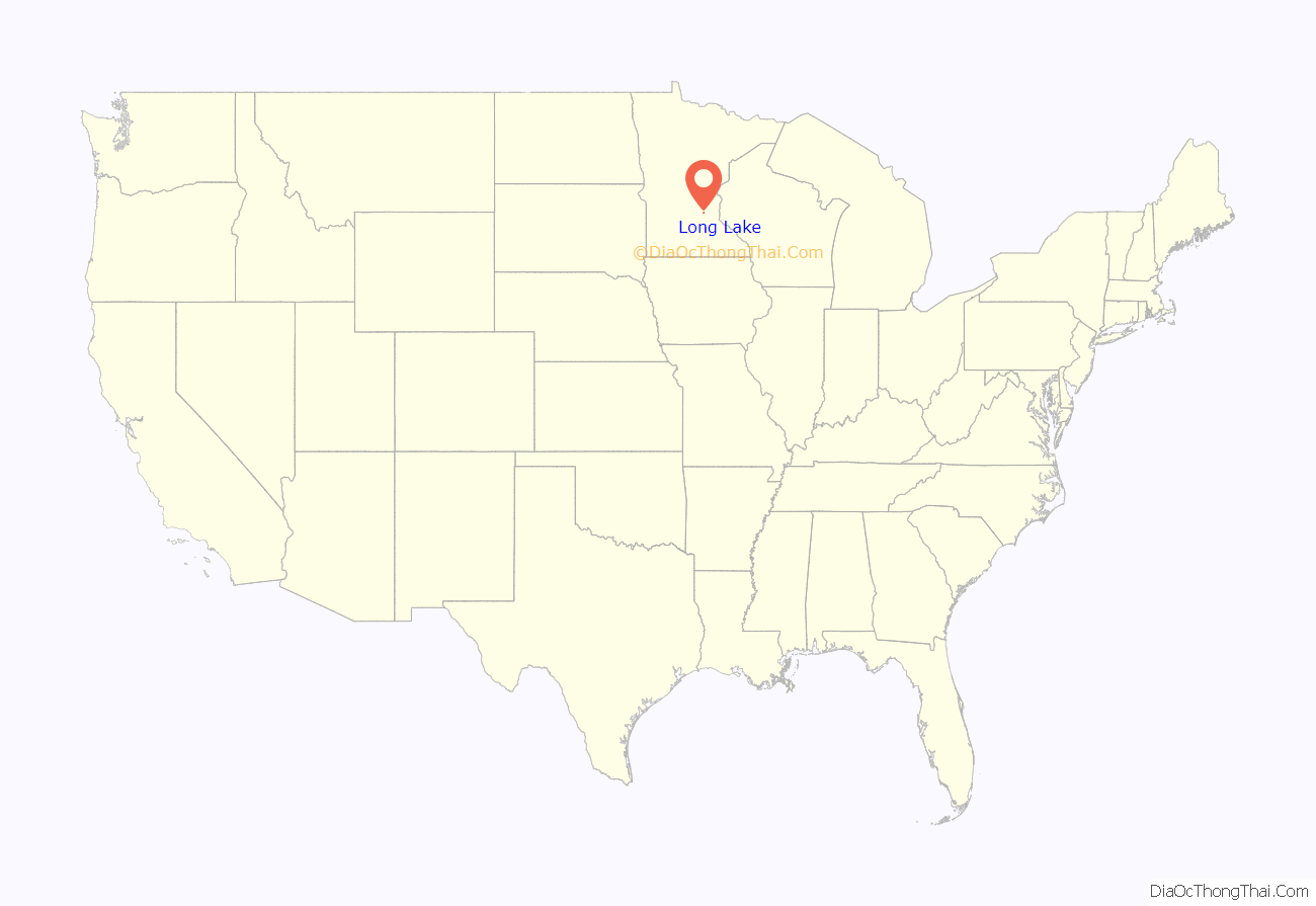
Long Lake location map. Where is Long Lake city?
History
The first settlers arrived in Long Lake in early spring, 1855. This early contact in Long Lake did not result in settlement but rather this group of Nova Scotians came down Watertown Road, walked to the lake, looked across the lake and settled on the north side of the lake in what is now Orono. The first permanent settlement was established in May 1855 with the arrival of the Flemings and the George Knettles from Cumberland County, Pennsylvania. This first settlement was named Cumberland Town and consisted of a saw mill, general store and schoolhouse. The platted area Cumberland Addition can trace its roots to this early period. The Knettle’s house became a favorite stop for travelers between 1855 and 1860 and is the location of the first public religious service in the community. The first post office was established in 1856, which was named Tamarack in recognition of the Tamarack swamps in the western part of the country.
A significant aspect of the early settlement of Long Lake was the relationship between the Dakota, the Chippewa and the settlers. The origin of the Union Cemetery is found in this tripartite relationship. The area where the cemetery is located was called Teepee Hill in these early years. It served as an encampment for the Chippewa in 1859–1860. The Dakota were informed of the location of the Chippewa through two settlers in the area. This information prompted many of the Dakota to be in and around Long Lake. Although there was no fighting and the actual intentions of the Dakota are not clear, their presence in the area forced the Chippewa to vacate Teepee Hill. This area was acquired by Bradford Wakefield, most probably through squatter’s rights, and purchased by Union Cemetery Association in 1861. There was concern among the settlers that the Chippewa would return, so by establishing a cemetery (hallowed ground) it was unlikely that any Native American people would choose that site as an encampment, thus assuring the safety of the surrounding area.
During the middle to late 19th century, Long Lake developed like many other towns. A sawmill was erected (1866), the railroad reached Long Lake (1868), a school district was organized (1869), a general store was started (1870), the Freethinkers Hall was organized (1874), a flour mill was established (1875), and a hotel was added (1875). These institutions were all-important elements to early town development in the Upper Midwest.
The late 1890s – early 1900s became known as the berry years in Long Lake. The Minnesota Fruit Growers Association was established in Long Lake in 1898 to focus on promoting strawberry and raspberry production. These products became a regional specialty with shipments going as far as Fargo and Grand Forks, North Dakota.
The catalyst for the expansion of the city limits was a desire by Long Lake’s neighbors to take advantage of the city’s decision to install a sewer system. Those areas that wanted to be connected to city sewer were annexed by the city.
Long Lake Road Map
Long Lake city Satellite Map
Geography
According to the United States Census Bureau, the city has a total area of 0.93 square miles (2.41 km), of which 0.83 square miles (2.15 km) is land and 0.10 square miles (0.26 km) is water.
West Wayzata Boulevard (Old Highway 12), now Hennepin County Road 112, and U.S. Highway 12 both serve as the main routes in the community.
See also
Map of Minnesota State and its subdivision:- Aitkin
- Anoka
- Becker
- Beltrami
- Benton
- Big Stone
- Blue Earth
- Brown
- Carlton
- Carver
- Cass
- Chippewa
- Chisago
- Clay
- Clearwater
- Cook
- Cottonwood
- Crow Wing
- Dakota
- Dodge
- Douglas
- Faribault
- Fillmore
- Freeborn
- Goodhue
- Grant
- Hennepin
- Houston
- Hubbard
- Isanti
- Itasca
- Jackson
- Kanabec
- Kandiyohi
- Kittson
- Koochiching
- Lac qui Parle
- Lake
- Lake of the Woods
- Lake Superior
- Le Sueur
- Lincoln
- Lyon
- Mahnomen
- Marshall
- Martin
- McLeod
- Meeker
- Mille Lacs
- Morrison
- Mower
- Murray
- Nicollet
- Nobles
- Norman
- Olmsted
- Otter Tail
- Pennington
- Pine
- Pipestone
- Polk
- Pope
- Ramsey
- Red Lake
- Redwood
- Renville
- Rice
- Rock
- Roseau
- Saint Louis
- Scott
- Sherburne
- Sibley
- Stearns
- Steele
- Stevens
- Swift
- Todd
- Traverse
- Wabasha
- Wadena
- Waseca
- Washington
- Watonwan
- Wilkin
- Winona
- Wright
- Yellow Medicine
- Alabama
- Alaska
- Arizona
- Arkansas
- California
- Colorado
- Connecticut
- Delaware
- District of Columbia
- Florida
- Georgia
- Hawaii
- Idaho
- Illinois
- Indiana
- Iowa
- Kansas
- Kentucky
- Louisiana
- Maine
- Maryland
- Massachusetts
- Michigan
- Minnesota
- Mississippi
- Missouri
- Montana
- Nebraska
- Nevada
- New Hampshire
- New Jersey
- New Mexico
- New York
- North Carolina
- North Dakota
- Ohio
- Oklahoma
- Oregon
- Pennsylvania
- Rhode Island
- South Carolina
- South Dakota
- Tennessee
- Texas
- Utah
- Vermont
- Virginia
- Washington
- West Virginia
- Wisconsin
- Wyoming
