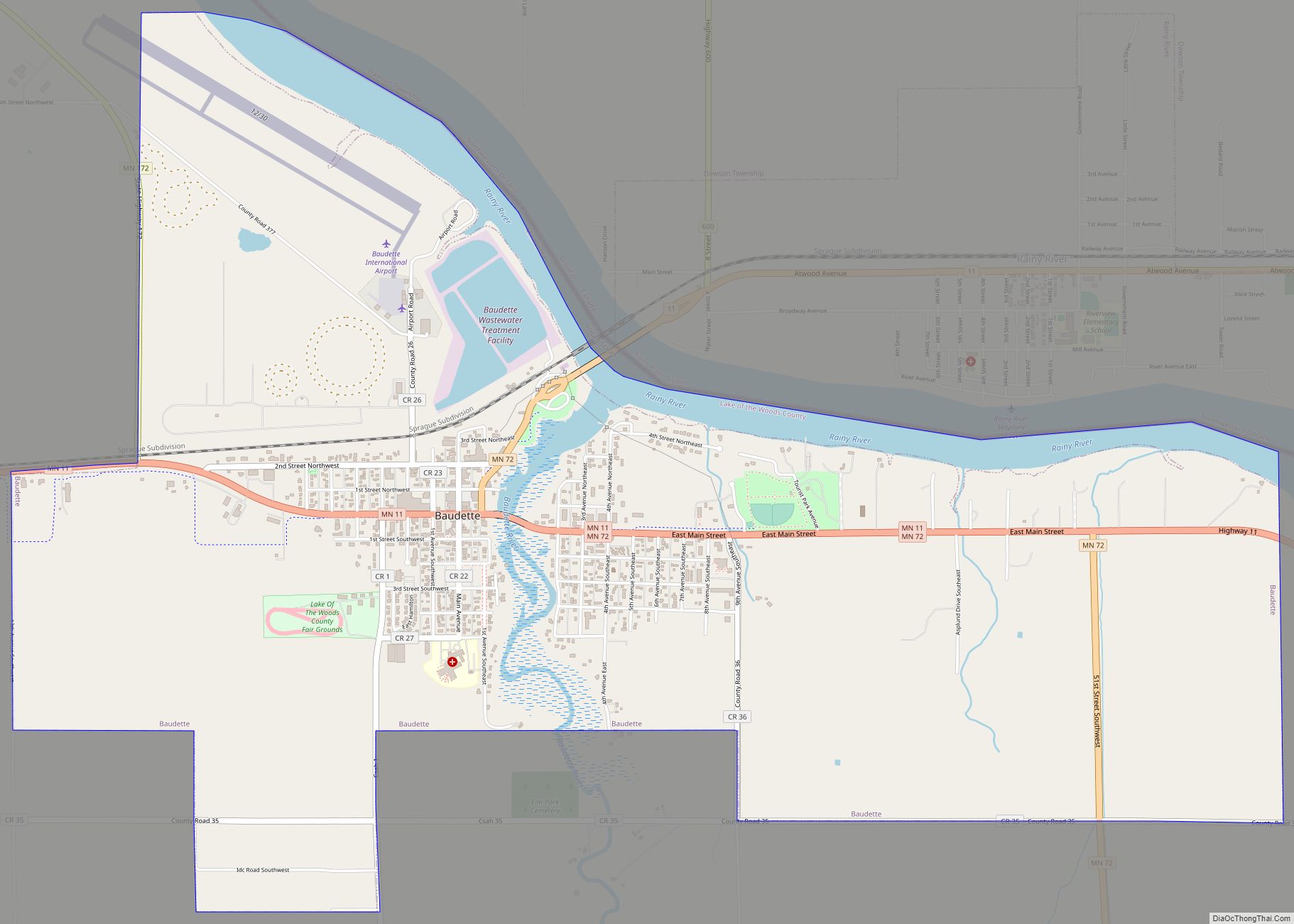
Baudette is a city in, and the county seat of, Lake of the Woods County, Minnesota, United States. As of the 2020 census, its population was 966. Baudette is known as the Walleye Capital of the World. Baudette city overview: Name: Baudette city LSAD Code: 25 LSAD Description: city (suffix) State: Minnesota County: Lake of ... Read more
Minnesota Cities and Places
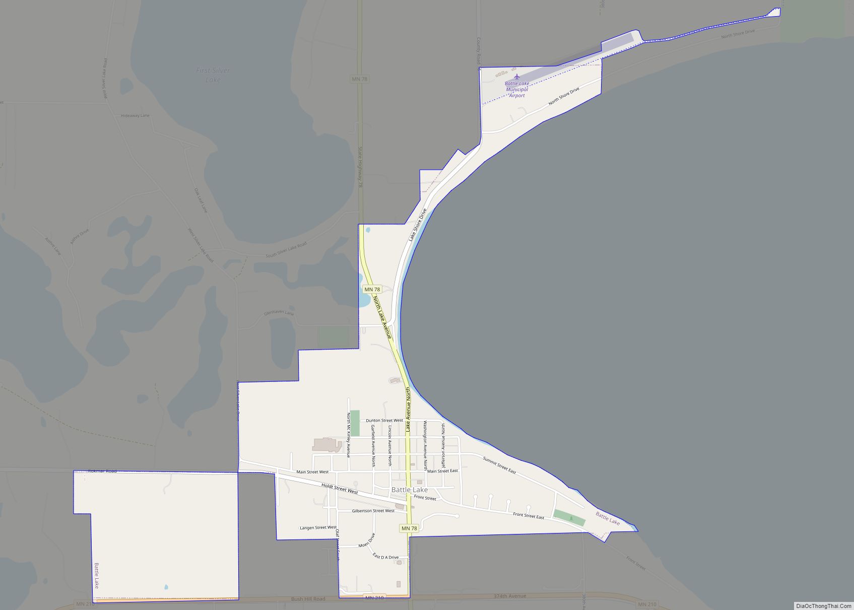
Battle Lake is a city in Otter Tail County, Minnesota, United States. The population was 857 according to the 2020 census. Battle Lake city overview: Name: Battle Lake city LSAD Code: 25 LSAD Description: city (suffix) State: Minnesota County: Otter Tail County Elevation: 1,358 ft (414 m) Total Area: 1.44 sq mi (3.73 km²) Land Area: 1.44 sq mi (3.72 km²) Water Area: ... Read more
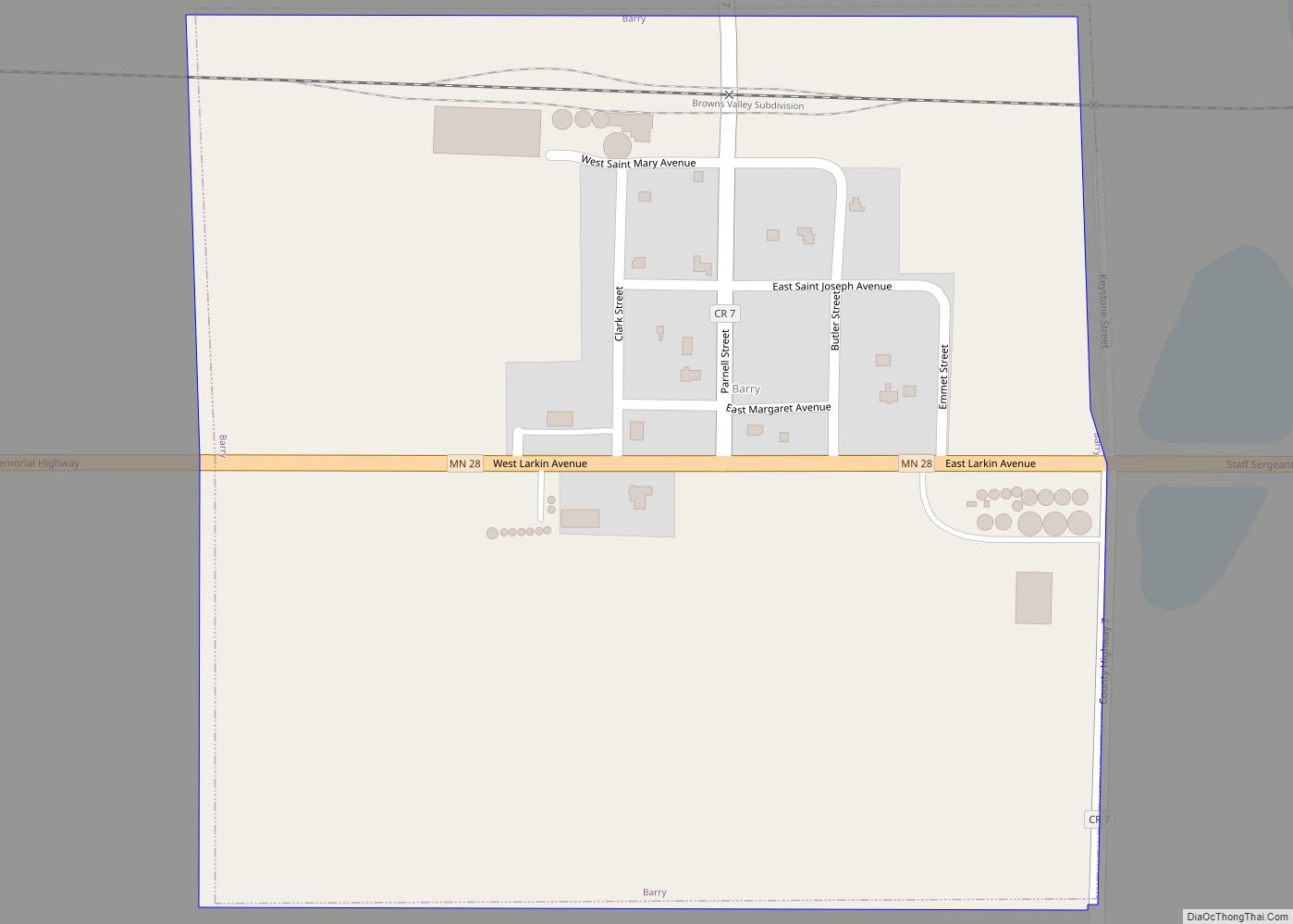
Barry is a city in Big Stone County, Minnesota, United States. The population was 16 at the 2020 census. Minnesota State Highway 28 serves as a main route in the community. Barry city overview: Name: Barry city LSAD Code: 25 LSAD Description: city (suffix) State: Minnesota County: Big Stone County Elevation: 1,106 ft (337 m) Total Area: ... Read more
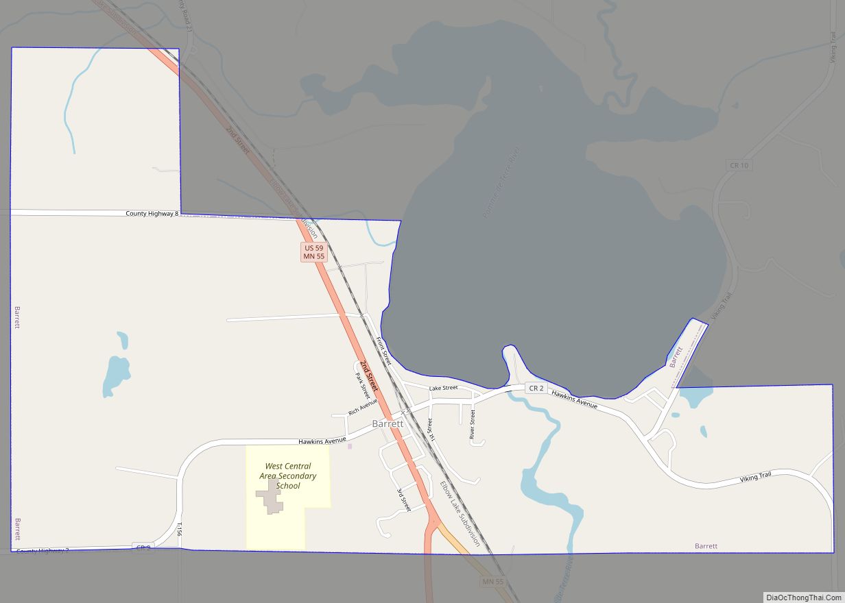
Barrett is a city in Grant County, Minnesota, United States. The population was 415 at the 2010 census. Barrett city overview: Name: Barrett city LSAD Code: 25 LSAD Description: city (suffix) State: Minnesota County: Grant County Elevation: 1,168 ft (356 m) Total Area: 2.11 sq mi (5.46 km²) Land Area: 2.09 sq mi (5.40 km²) Water Area: 0.02 sq mi (0.06 km²) Total Population: 366 Population ... Read more
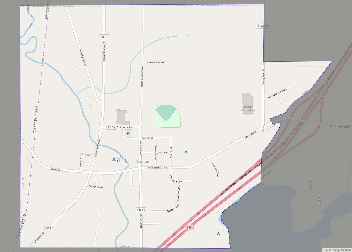
Barnum is a city in Carlton County, Minnesota, United States. The population was 613 at the 2010 census. Interstate Highway 35, Carlton County Road 6 (Main Street), and Carlton County Road 61 (Front Street) are three of the main routes in Barnum. Barnum city overview: Name: Barnum city LSAD Code: 25 LSAD Description: city (suffix) ... Read more
Bayport is a city in Washington County, Minnesota, United States. The population was 4,024 at the 2020 census. Bayport is located along the St. Croix River, one mile south of Stillwater. Bayport city overview: Name: Bayport city LSAD Code: 25 LSAD Description: city (suffix) State: Minnesota County: Washington County Elevation: 699 ft (213 m) Total Area: 2.64 sq mi ... Read more
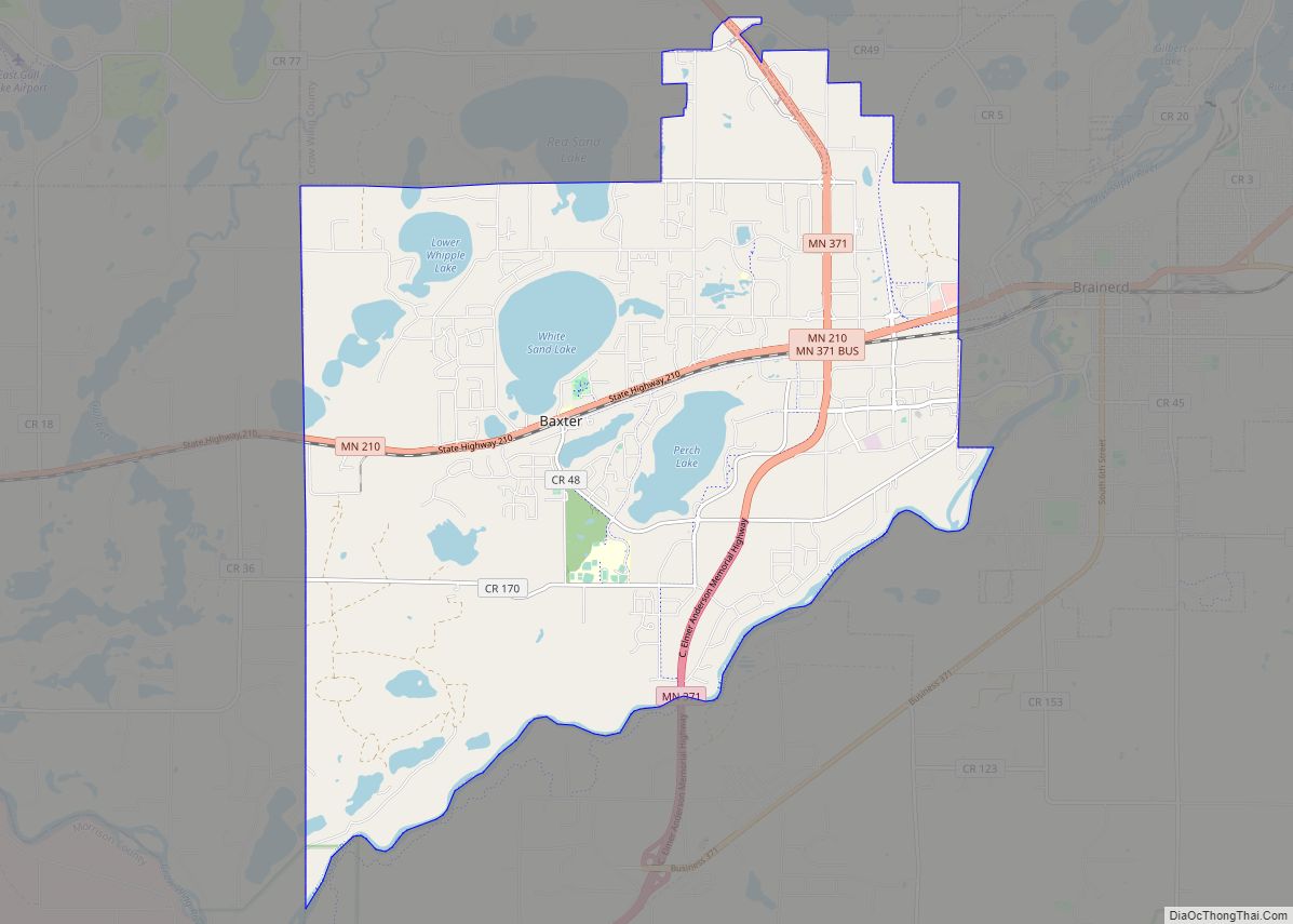
Baxter is a city in Crow Wing County, Minnesota, United States. The population was 7,610 at the 2010 census. It is part of the Brainerd Micropolitan Statistical Area. Minnesota State Highways 210 and 371 are two of the main routes in the city. Baxter city overview: Name: Baxter city LSAD Code: 25 LSAD Description: city ... Read more
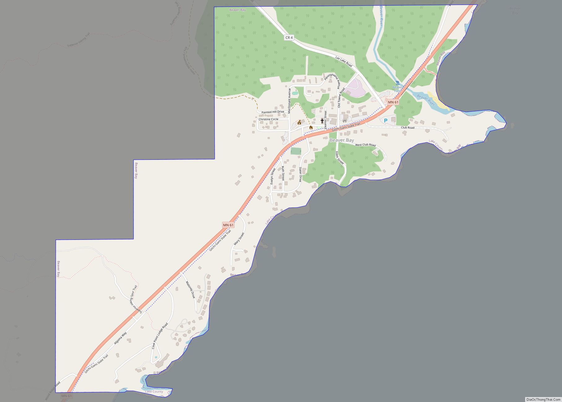
Beaver Bay is a city in Lake County, Minnesota, United States. The population was 120 at the 2020 census. Minnesota Highway 61 serves as a main route in the community. Beaver Bay city overview: Name: Beaver Bay city LSAD Code: 25 LSAD Description: city (suffix) State: Minnesota County: Lake County Elevation: 702 ft (214 m) Total Area: ... Read more
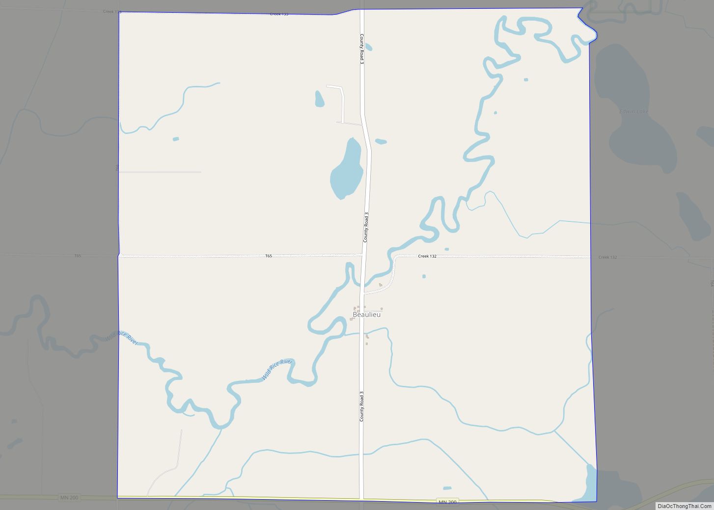
Beaulieu (/ˈbjuːli/) is a census-designated place and unincorporated community in Beaulieu and Chief Townships, Mahnomen County, Minnesota, United States. Its population was 48 as of the 2010 census. Beaulieu CDP overview: Name: Beaulieu CDP LSAD Code: 57 LSAD Description: CDP (suffix) State: Minnesota County: Mahnomen County Elevation: 1,293 ft (394 m) Total Area: 3.89 sq mi (10.09 km²) Land Area: ... Read more
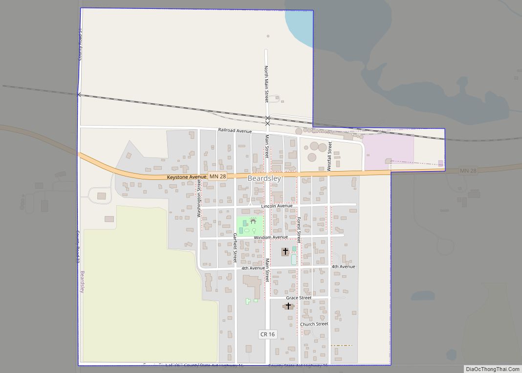
Beardsley is a city in Big Stone County, Minnesota, United States. The population was 233 at the 2010 census. Beardsley city overview: Name: Beardsley city LSAD Code: 25 LSAD Description: city (suffix) State: Minnesota County: Big Stone County Elevation: 1,096 ft (334 m) Total Area: 0.47 sq mi (1.23 km²) Land Area: 0.47 sq mi (1.22 km²) Water Area: 0.00 sq mi (0.01 km²) Total Population: ... Read more
Belle Plaine is a city in Scott County, Minnesota, United States, about 40 minutes southwest of Minneapolis. The population was 7,395 at the 2020 census. Belle Plaine city overview: Name: Belle Plaine city LSAD Code: 25 LSAD Description: city (suffix) State: Minnesota County: Scott County Elevation: 856 ft (261 m) Total Area: 6.18 sq mi (16.00 km²) Land Area: 5.95 sq mi ... Read more
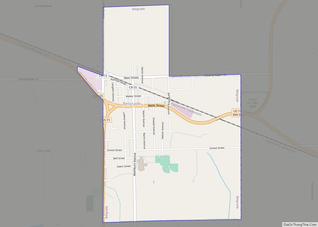
Belgrade is a city in Stearns County, Minnesota, United States. The population was 740 at the 2010 census. It is part of the St. Cloud Metropolitan Statistical Area. Belgrade is home to the world’s largest black Crow. Belgrade city overview: Name: Belgrade city LSAD Code: 25 LSAD Description: city (suffix) State: Minnesota County: Stearns County ... Read more
